Home to more than 34 million acres of public land open to hunters, the Beaver State offers a variety of hunting opportunities on the West Coast. Oregon hunters have general season hunts for deer, elk, black bear, and mountain lion, as well as controlled hunts for Bighorn sheep, Rocky Mountain goat, antelope, elk, deer, and black bear.
![]()
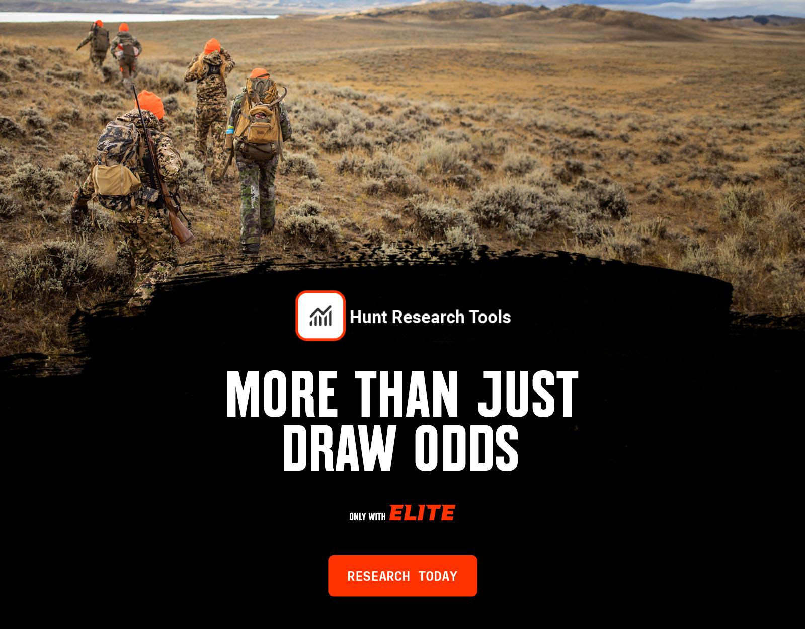
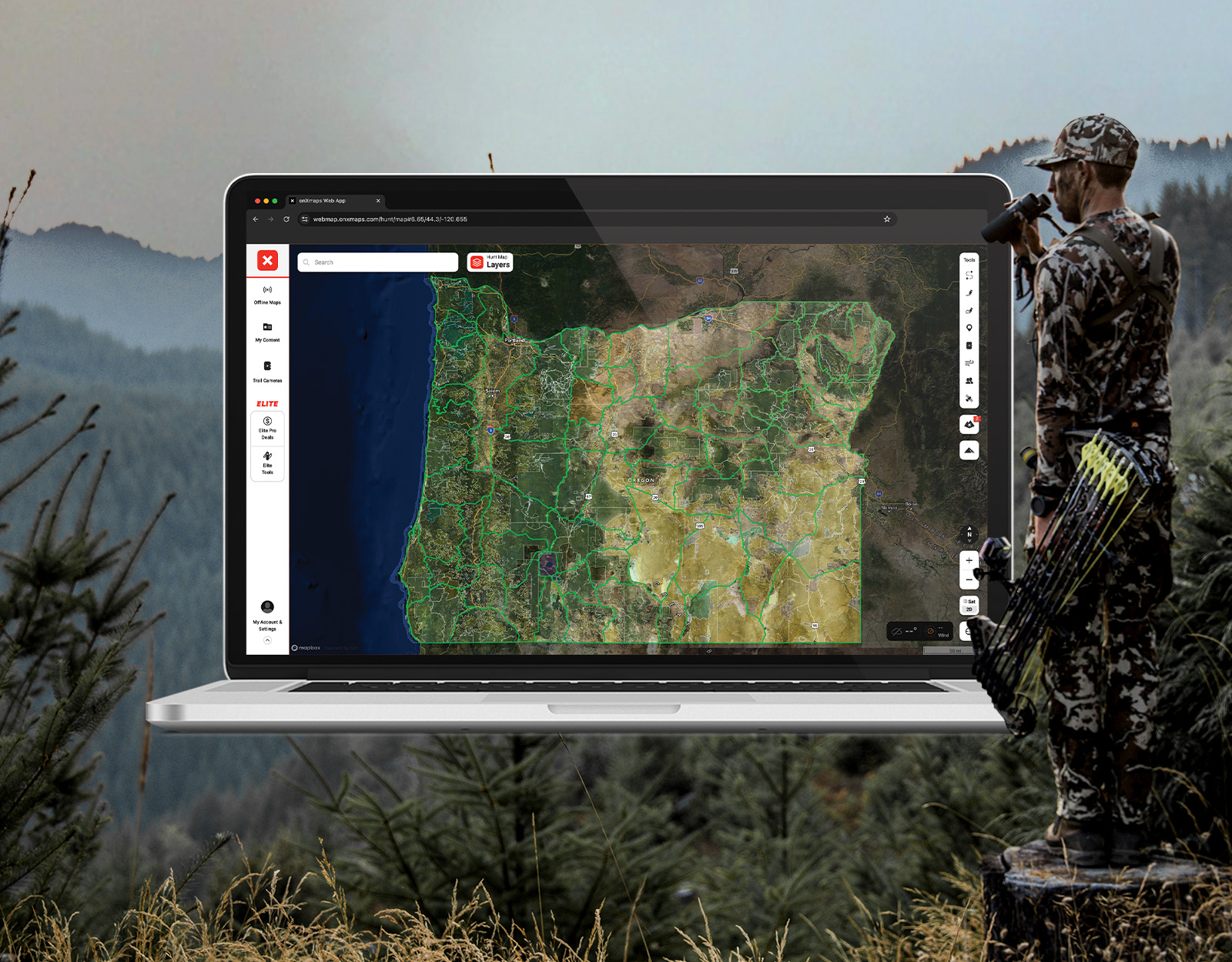
Your Complete System for Securing Tags
Whether you’re chasing a once-in-a-lifetime hunt or just looking to fill the freezer, your season starts with onX Hunt’s application tools—all included with an Elite Membership:
- Hunt Research Tools: Draw odds, tag trends, and harvest stats for 11 western states (Washington is not yet available) to help you decide where to apply.
- Huntin’ Fool: In-depth insights to navigate state-specific systems and build better strategies.
- HuntReminder: Text and email alerts so you never miss a deadline.
One membership, every tool you need to make 2026 the year.

What’s New in Oregon for 2026?
Hunters should review the new 2026 Oregon regulations, season dates, and hunt codes.
For 2026, Oregon has made the following key changes:
- Changed and renamed all the deer units in the eastern two-thirds of the state to better align hunting areas with actual deer herd movements. See the new deer map.
- Changed select deer units in the northeast part of the state to either mule deer-only or whitetail deer-only tags.
- Increased prices for all hunting licences, tags, and application fees.
Huntin’ Fool’s Oregon page is a thorough, updated resource for ongoing Oregon draw changes.
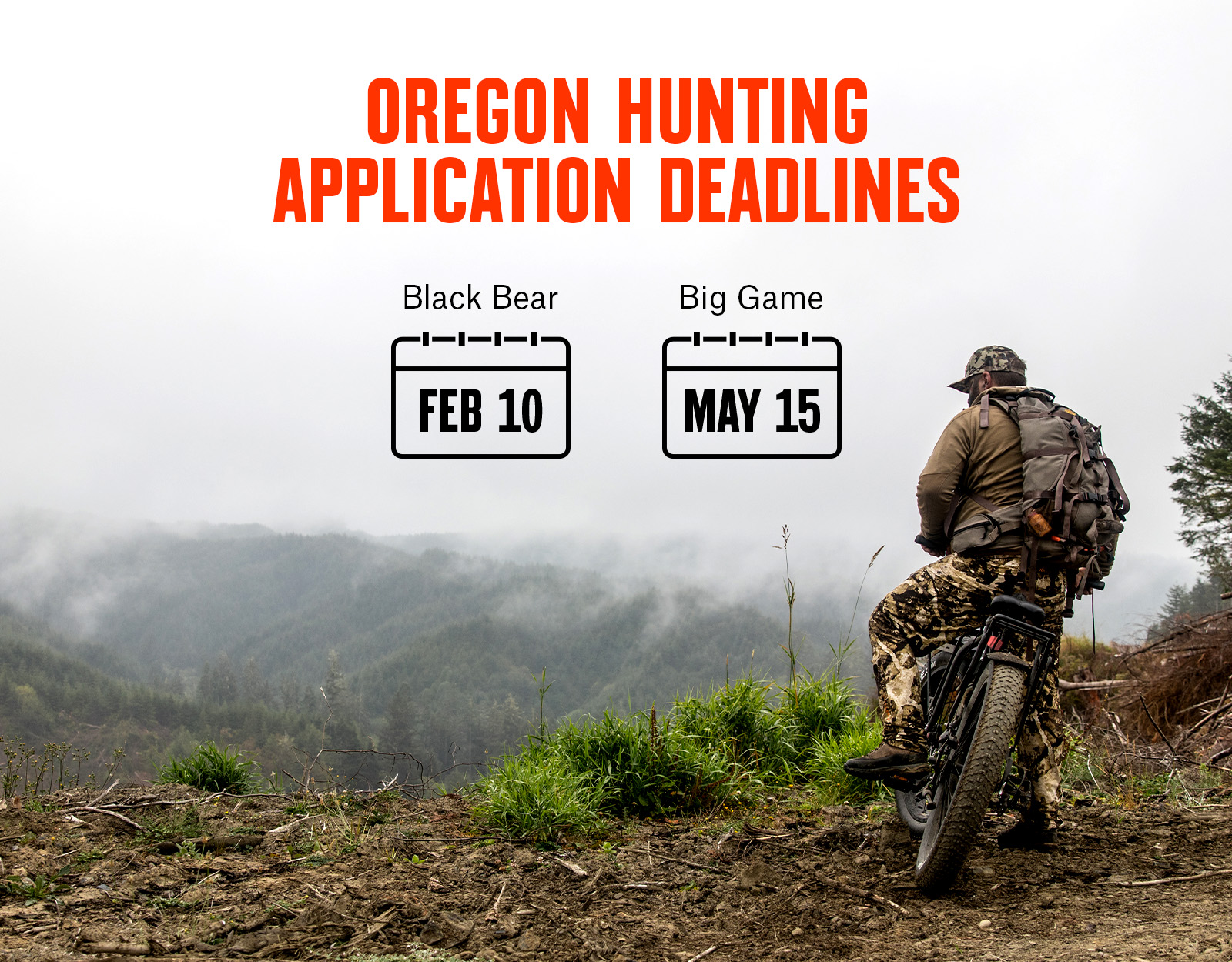
Oregon Draw Deadline
The big game application period is currently open and closes on May 15, 2026, with results available by June 12, 2026.
Hunters may apply for tags with the Oregon Department of Fish & Wildlife.
Oregon Application Season Cost Overview
An Oregon hunting license is required to submit an application for controlled (limited) hunts; the cost for residents is $39, and the non-resident cost is $193. The application fee is $10 per application submitted. Due to this cost and the fact that Oregon caps non-resident deer and elk tag allocations at 5%, the state is not typically considered a popular hunt destination for non-residents.
Costs to apply and hunt:
- Oregon hunting license fee (you need a qualifying license before you can apply).
- Application fee.
- Points-only fee (fees for people just buying points and not actually applying for a hunt).
- Tag fee (paid after you draw).
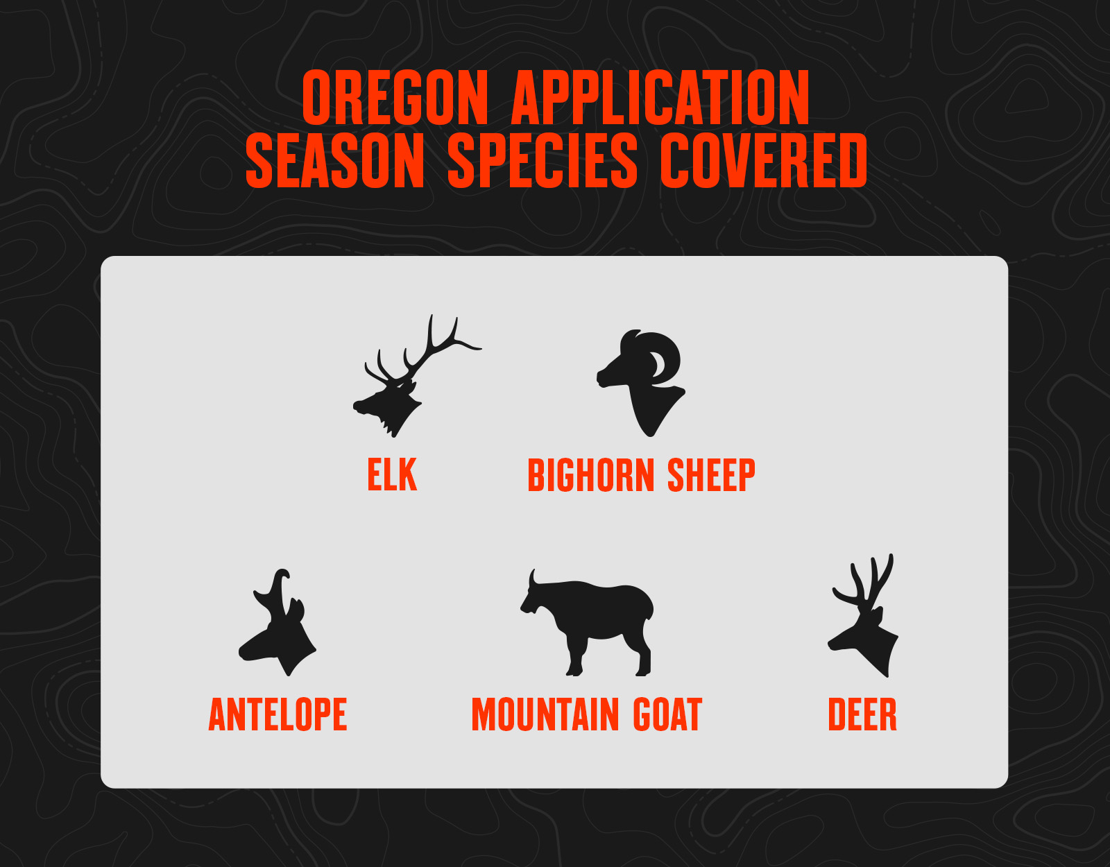
Oregon Application Season Species
Oregon Draw Process
Point System
- For elk, deer, and antelope controlled hunts, Oregon uses a preference point system.
- Preference points are like a place in line: first in, first out. The applicants with the most preference points draw before those with fewer.
- If you apply for and are unsuccessful in drawing your first choice, you’ll receive an additional preference point for future drawings.
- Applicants may apply for preference points only during the primary application window or in a separate application window that begins July 1.
- Preference points are considered for your first choice only. If you draw your first choice for a species, your preference points are purged back to zero.
- Preference points do not expire.
Tag Allocation
- For every individual controlled hunt code, 75% of the total number of tags for that hunt will be awarded to the applicants with the most preference points.
- The remaining 25% of tags for any given hunt code will be issued in the random draw. The preference point drawing occurs first, then the random draw.
- For elk and deer, a maximum of 5% of the total number of tags can be issued to non-residents.
- However, half of the non-resident tags issued the prior year for deer and elk can be issued to outfitters in a separate drawing that occurs before the primary draw.
- For antelope, a maximum of 3% of the total number of tags can be issued to non-residents.
- The non-resident allocation is not guaranteed, so it is possible for non-residents to draw no tags for a hunt code if resident demand is high enough.
- When determining the 75% preference point tag quota, round up a tag if the decimal percentage is .5 or higher, otherwise round down.
- For hunt codes with three or fewer tags, all will be issued in the Preference Point drawing.
- For hunt codes with a total quota of 35 or fewer, a maximum of one tag will be made available to non-residents/outfitters.
Resources
- View 2026 Oregon Hunting Regulations.
- Apply for Your Oregon Hunting Tags.
- Read Oregon Hunting News.
- Check Oregon CWD Updates.
Oregon Application Tips
- There are general tags available for elk and blacktail deer that are valid for specific game management units mostly in the western third of the state.
- For elk, deer, and antelope group applications, 18 is the maximum number of people in your party. Preference points are averaged for the group, rounding up only if the decimal portion for the average is .5 or higher. There must be enough tags left unissued for your entire party when drawn, otherwise the group application will be unsuccessful.
- In Oregon, all applicants are eligible to draw in the random drawing, and preference points have no impact. Every applicant has the same odds in the random drawing for each particular hunt code (with consideration of an applicant’s residency status). Most of all the random tags are awarded to resident hunters due to the 5% non-resident cap on deer and elk tags.