California offers hunters the chance to pursue several big game species, including elk, antelope, bighorn sheep, bear, wild pig, and deer. Deer, wild pig, and bear are available as opportunity hunts every year, while elk, antelope, sheep, and premium deer require entering a limited draw, open to residents and non-residents alike. The state is also the only one to offer hunts for Tule elk, a subspecies smaller in body size than the more familiar Rocky Mountain elk.
Like most states, in addition to an annual hunting license, tags are required to hunt big game species. Hunters must be at least 12 years old to hunt big game (except for bighorn sheep; hunters must be 16 years old).
Hunters may apply for tags with the California Department of Fish and Wildlife. Huntin’ Fool’s California page is also an updated resource for ongoing California draw changes.
What’s New for 2026?
1. Three new desert bighorn hunt zones are opening in the central Mojave Desert:
- Granite and North Bristol Mountains (Zone 11)
- Providence, Woods, and Hackberry Mountains (Zone 12)
- Castle Mountains and Piute Range (Zone 13).
Desert bighorn sheep hunting has never occurred in these zones before, so this opportunity represents big adventure for those lucky enough to draw a tag.
2. Hunters also have the option to purchase two bear tags at the same time and use them in any order. Take will be limited to one legal bear per day, and there will be no change to the existing harvest threshold of 1,700.
3. The maximum number of points a hunter can have for a species is 24.
![]()
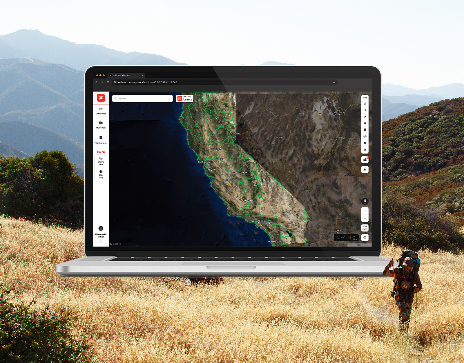
Your Complete System for Securing Tags
Whether you’re chasing a once-in-a-lifetime hunt or just looking to fill the freezer, your season starts with onX Hunt’s application tools—all included with an Elite Membership:
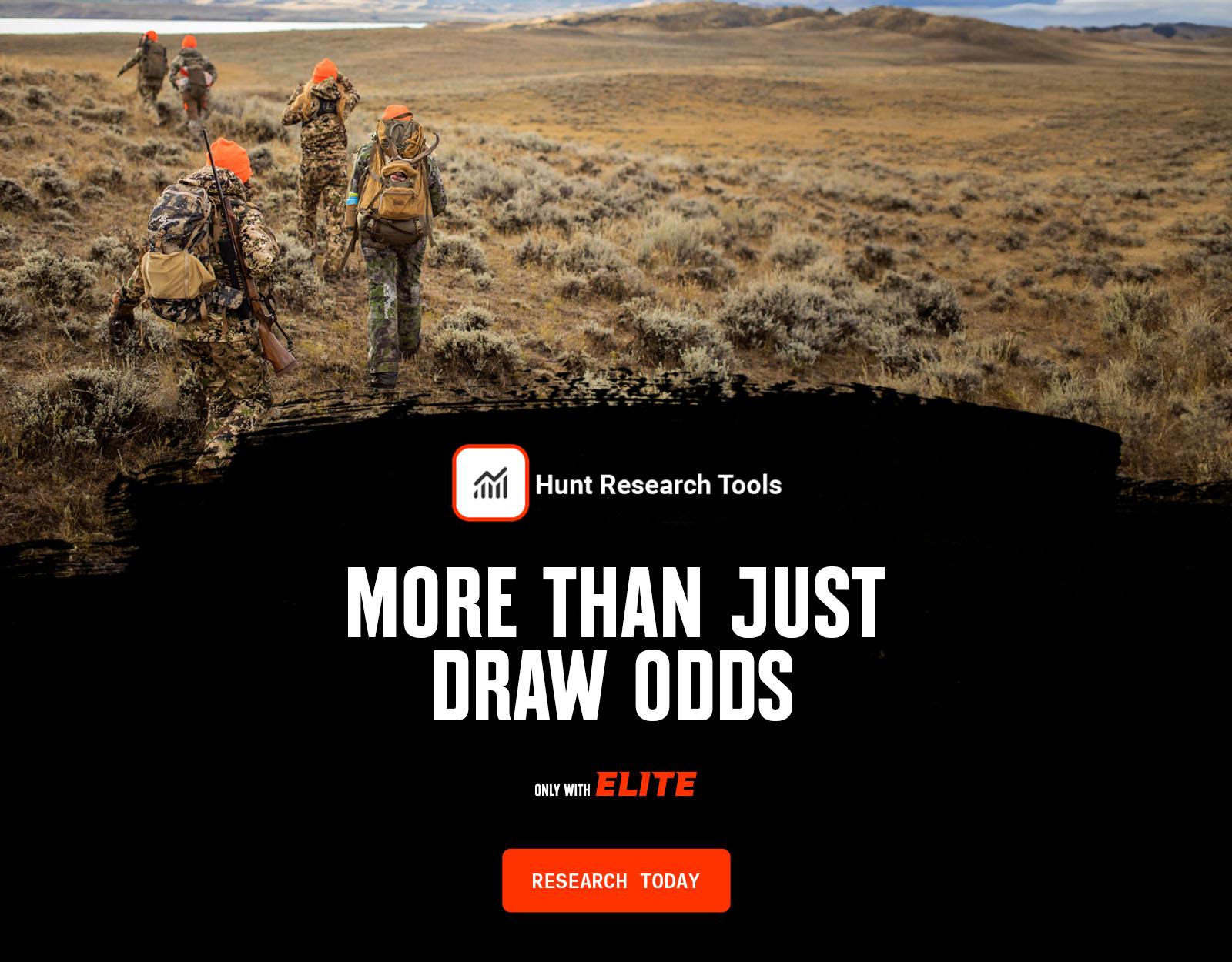
- Hunt Research Tools: Draw odds, tag trends, and harvest stats for 11 western states (Washington is not yet available) to help you decide where to apply.
- Huntin’ Fool: In-depth insights to navigate state-specific systems and build better strategies.
- HuntReminder: Text and email alerts so you never miss a deadline.
One membership, every tool you need to make 2026 the year.

California Big Game Draw Dates
California regulations, season dates, and hunt codes are available at Big Game Hunting Digest. Applications for the California big game drawing are available each year on April 15 through June 2.
Drawing results are generally available by June 15.
2026 CALIFORNIA DRAW DEADLINES
All Species
Application Dates and Deadlines: Huntin’ Fool lines out California dates and deadlines. Need to remember that California deer tag application deadline? Free for onX Elite Members, Hunt Reminder’s California page is a resource for timely application season reminders.
California Application Season Costs
Hunting license and species costs for tags usually include:
- Application fee (elk, antelope, and bighorn sheep have a non-refundable $8.38 fee).
- Hunting license fee to apply. Resident is $64.54; non-resident is $225.46.
- Species fee. This is what you pay for the animal you want to hunt. Varies by residency status and species.
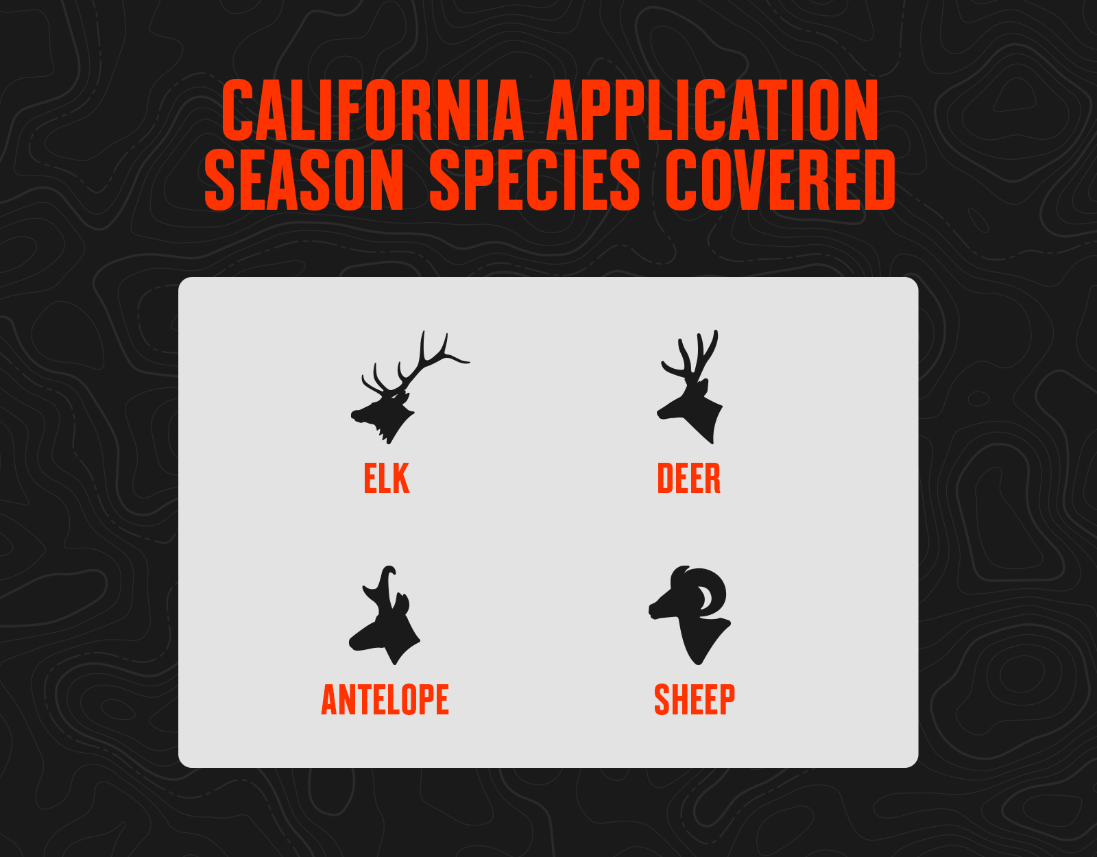
California Application Season Species
California Hunting Draw Process 101
Point System
- California uses a modified preference point system, which means some tags are awarded by preference point drawings while others are awarded in a random draw (called “draw-by-choice”).
- Preference points are like a place in line, where the more points you have, the closer to the front of the line you are: Applicants with more preference points draw before those with fewer.
- If you apply for and are unsuccessful drawing your first choice, you will receive an additional preference point for future drawings.
- Applicants may apply for preference points only during the primary application window.
- Preference points are considered for your first choice only. If you draw your first choice for a species, your preference points are purged back to zero.
- You lose all accumulated preference points for any species if you do not participate in the drawing for that species for five consecutive years.
Tag Allocation
- For premium deer tags, 90% of available tags will be awarded to the applicants with the most preference points.
- The remaining 10% of tags for any given premium deer hunt code will be issued in the random draw (draw by choice).
- For apprentice (youth) deer hunts, there is a 50/50 split of tags awarded between the point drawing and the random drawing.
- For California deer tags, there are no separate resident and nonresident quotas; all applicants are considered equally regardless of residency.
- For elk, antelope, and sheep, 75% of the tags are awarded in the preference point round and 25% in the random draw if there are four or more tags for a hunt.
- If there are three tags for a hunt: two preference point tags vs. one random tag will be awarded; for two tags: one tag each preference/random; for one tag: random.
- For elk and antelope, non-residents are limited to a maximum of one tag annually. Draw odds are low regardless of your hunt choice if you’re a non-resident.
- For sheep, non-residents are capped at up to 10% of total tags. You have to be the first or second non-resident application pulled in the drawing to have a chance at one of these tags.
California Hunting Tags Resources
- Review all the Application Season Tools You Get With onX Hunt Elite.
- Log Into Hunt Research Tools To Start Your Application Season.
- View California Hunting Regulations.
- Apply for Your California Hunting Tags.
- Check California Big Game Draw Statistics.
- Read California Hunting News and Updates.