FS519
Total Miles
3.0
Technical Rating
Best Time
Spring, Summer, Fall
Trail Type
Full-Width Road
Accessible By
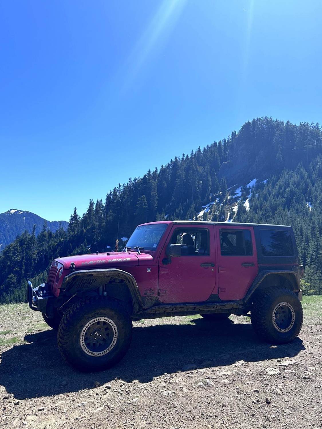
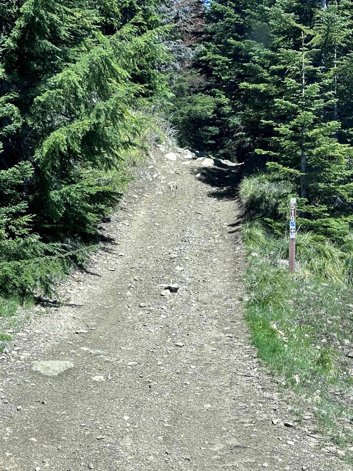
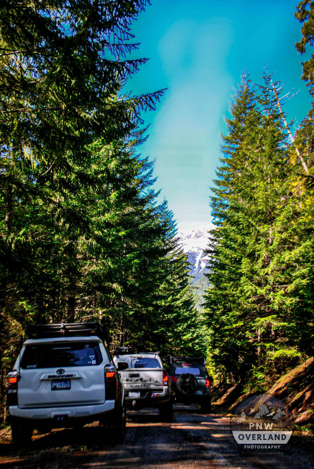
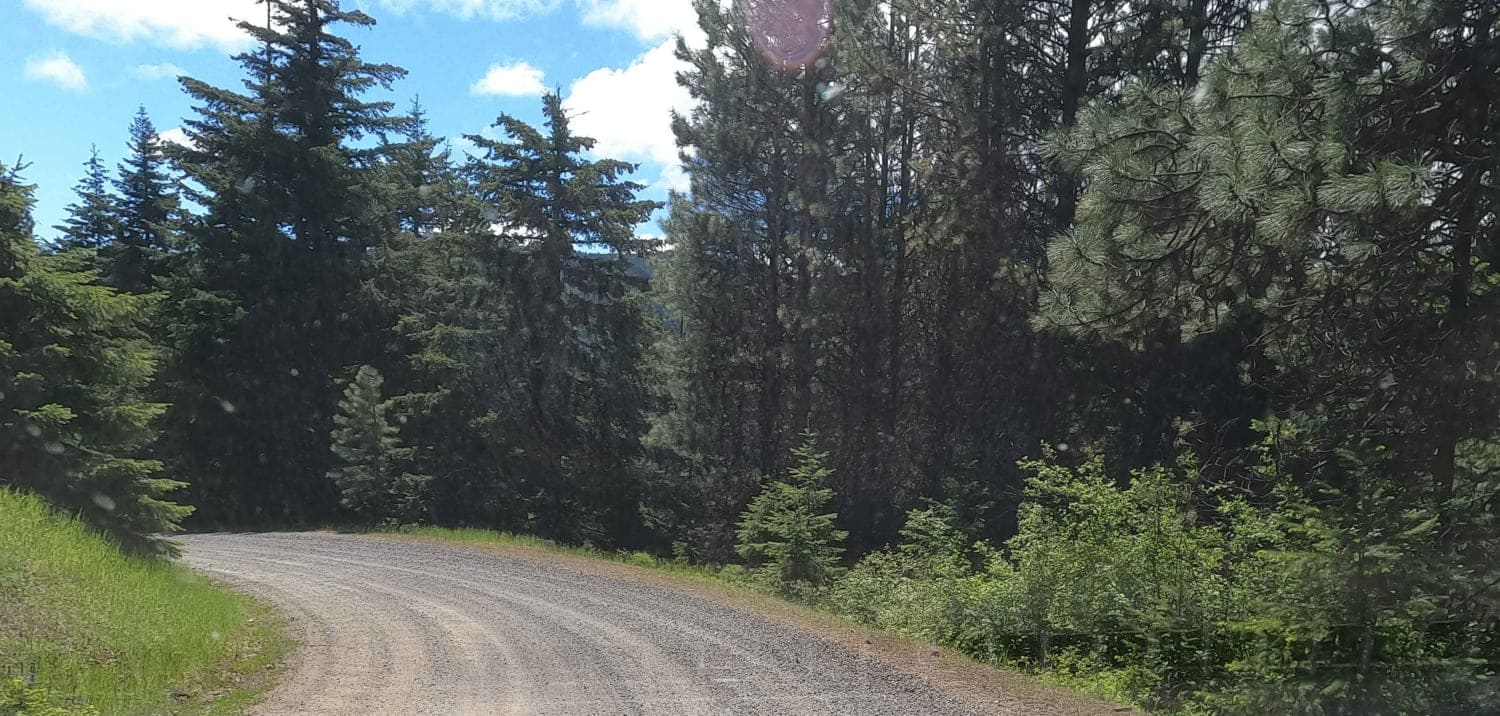
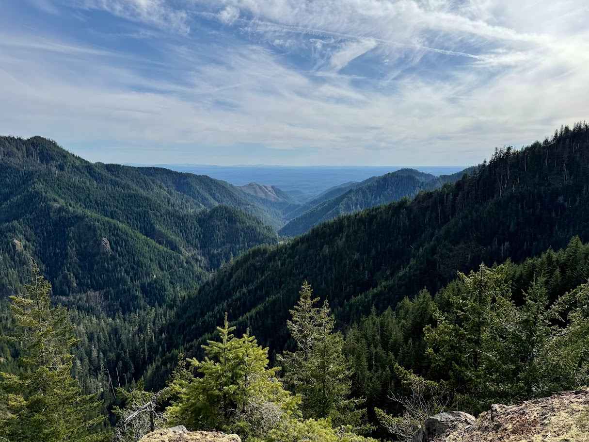
Trail Overview
This 2.8-mile point-to-point trail connects the Poch Ridge trail to the Poch Peak trail, completing a loop around the Evans Creek ORV area. This is the most difficult portion of the loop, with steep grades and narrow shelf roads with off-camber sections. In the middle of this trail, there is one fallen tree that creates an obstacle that is 2 feet in height. Longer-wheelbase vehicles may have difficulty passing this obstacle, which requires a sharp turn to get over. There is an optional small rock area along this trail with some fun ledges up to 3 feet in height to climb. This trail becomes much more challenging after rainfall.
Photos of FS519
Difficulty
Expect short steep grades and narrow shelf roads with off-camber sections. One sharp turn will require a multi-point turn by longer-wheelbase vehicles. One tree stump obstacle is up to 2 feet high with a sharp turn. The wet season will make this trail much more challenging.
History
Evans Creek Trailhead provides access to 40 miles of combined 4WD and motorcycle/quad trails of varying difficulty. This is a fee area and requires a US Forest Pass or Interagency Pass.
FS519 can be accessed by the following ride types:
- High-Clearance 4x4
- SUV
- SxS (60")
- ATV (50")
FS519 Map
Popular Trails
Upper Big Quilcene Trail
Miners Point - NF3300-133

Canyon Creek Road
FS 2341 Upper
The onX Offroad Difference
onX Offroad combines trail photos, descriptions, difficulty ratings, width restrictions, seasonality, and more in a user-friendly interface. Available on all devices, with offline access and full compatibility with CarPlay and Android Auto. Discover what you’re missing today!