Upper Big Quilcene Trail
Total Miles
4.9
Technical Rating
Best Time
Spring
Trail Type
High-Clearance 4x4 Trail
Accessible By
Trail Overview
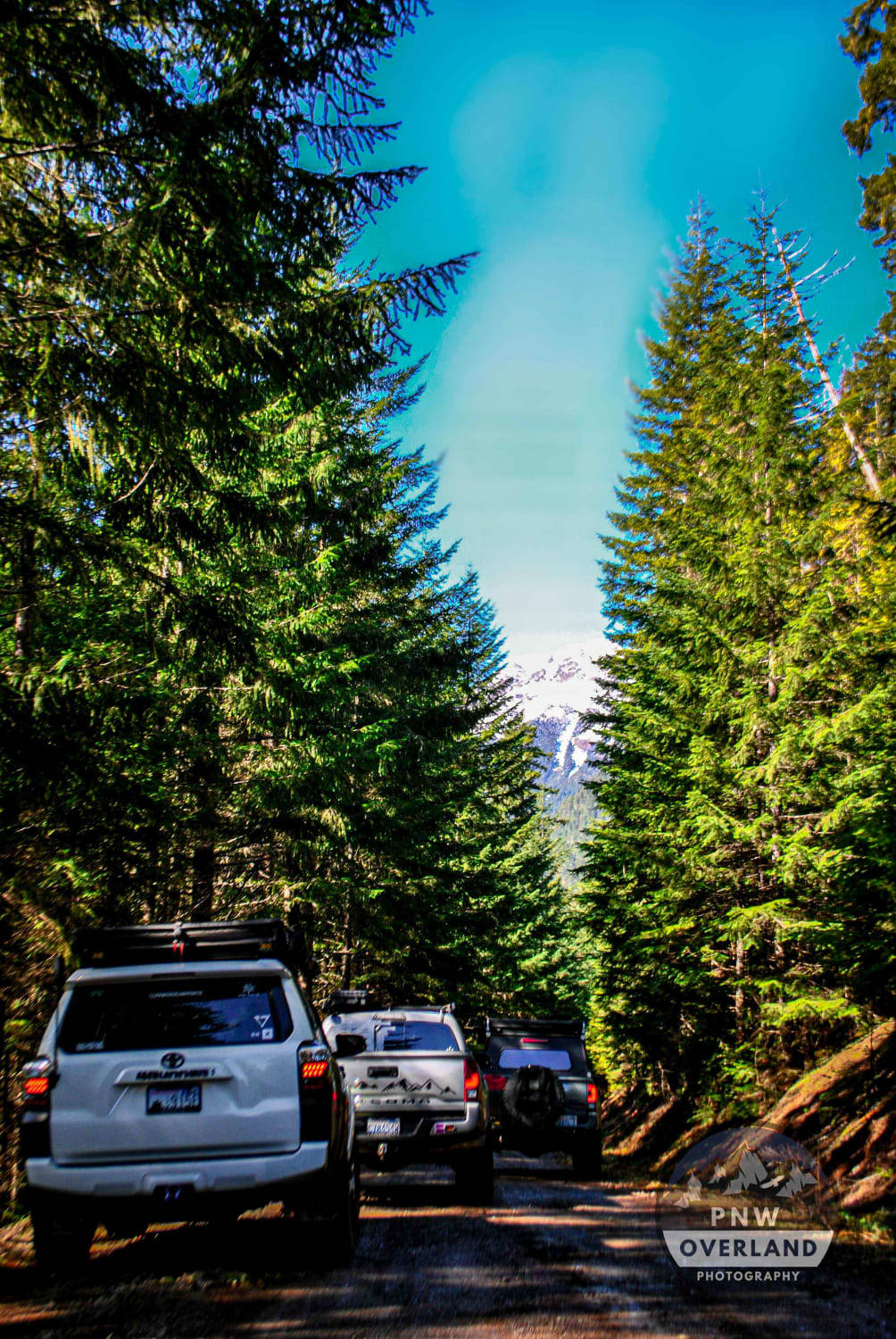
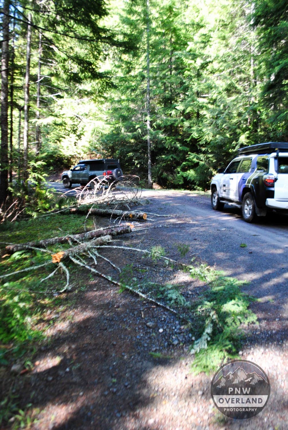
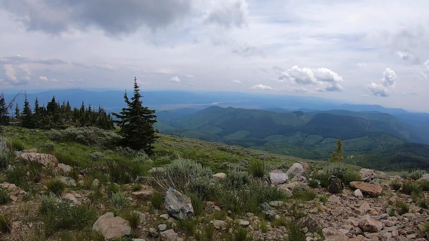
5 miles of decently maintained tree-lined dirt and gravel trails wind their way up gradually with peekaboo territorial views of the surrounding mountains and valleys below. On a clear bluebird day, the 3 Brother mountain peaks are clearly visible. Sections of the trail are heavily potholed, so be aware and watch your speed. The beginning of the trail has several spots where downed trees have been cleared and moved to the side. If coming out to this area after a windstorm, be sure to pack the chainsaw, winch, and tow strap. Several of the rock face areas have also started to experience rock slides, as rocks ranging in size and scale litter the shoulder and trail in some areas. Once you make it to the trailhead, continue on just a bit more past the pit toilet and you'll come across a bridge that crosses the Big Quilcene River. Just past that is a nice dispersed camp spot. Northwest Forest Passes are required to camp and hike in this area.
Photos of Upper Big Quilcene Trail
Difficulty
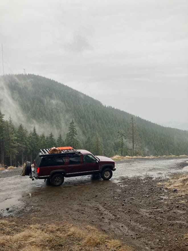
Potholes make for a bumpy ride. In the fall, winter, and spring months when the trail is wet, conditions can be extremely slippery.
Status Reports
Upper Big Quilcene Trail can be accessed by the following ride types:
- High-Clearance 4x4
Upper Big Quilcene Trail Map
Popular Trails
Buck Ridge B Line Connector

Mallardy Cr - NFSR 4030
The onX Offroad Difference
onX Offroad combines trail photos, descriptions, difficulty ratings, width restrictions, seasonality, and more in a user-friendly interface. Available on all devices, with offline access and full compatibility with CarPlay and Android Auto. Discover what you’re missing today!