NF 43 - Buttermilk Libby
Total Miles
3.3
Technical Rating
Best Time
Summer, Fall
Trail Type
Full-Width Road
Accessible By
Trail Overview
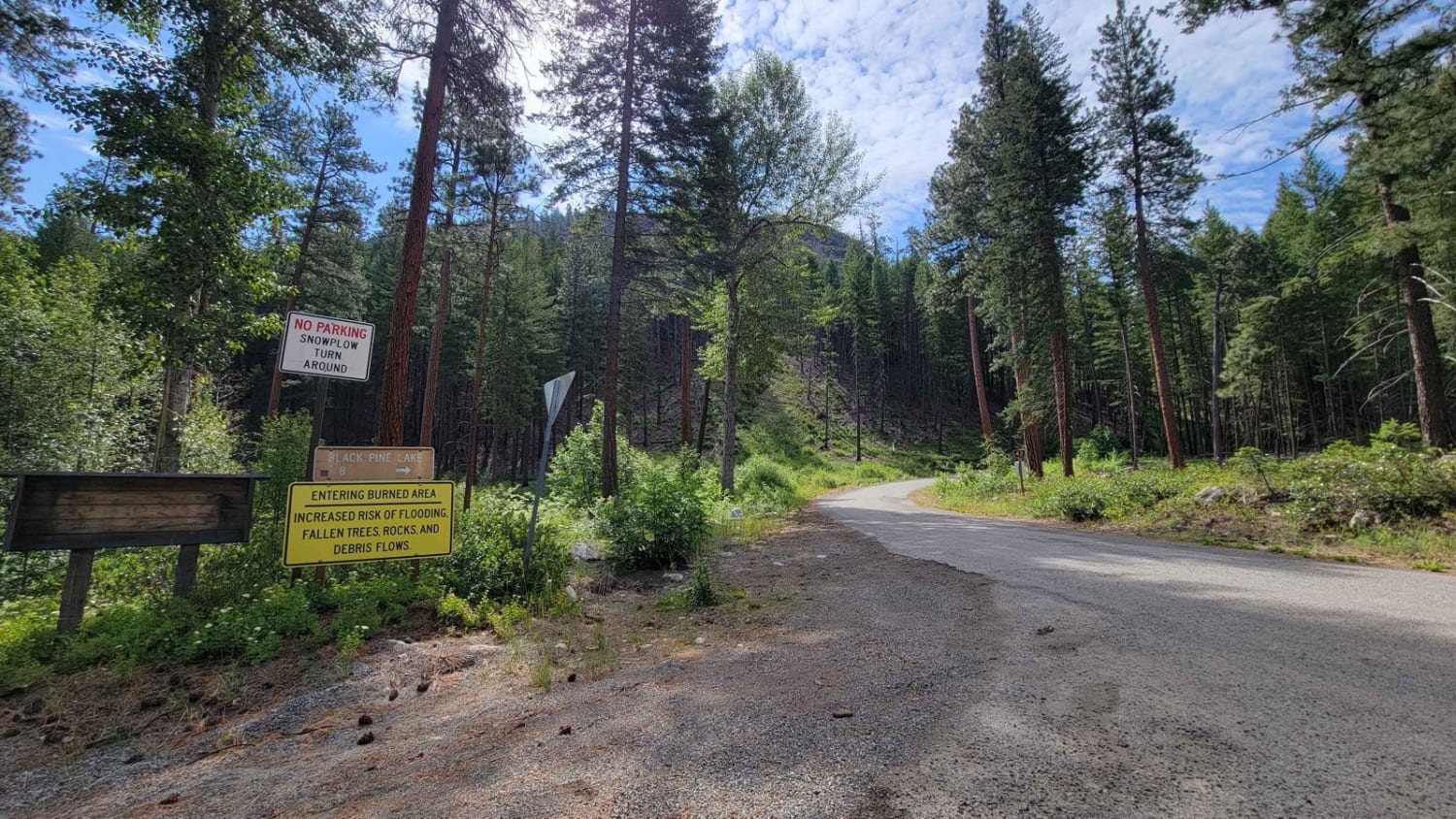
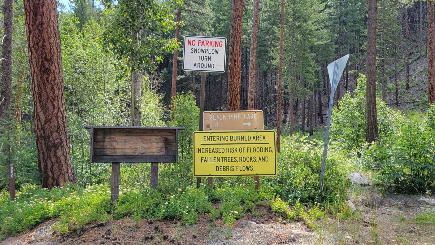
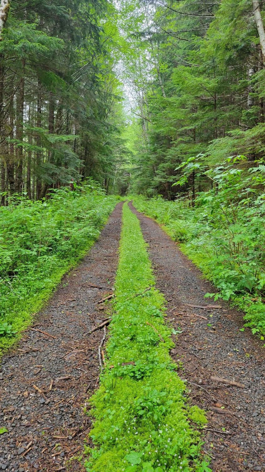
This section of NF 43 is where the pavement ends and the dirt road begins, leading to Black Pine Lake/Campground. There are warning signs at the bottom of the road: "Entering Burned Area. Increased risk of flooding, fallen trees, rocks, and debris flow." The road is an easy and gradual climb, safe for 2WD vehicles to reach the campground. Nothing of difficulty to note aside from the occasional branch/tree hanging down in/over the road. It's a beautiful mountain drive where you can catch the occasional views down the valley. The area is unmaintained (closed) in the winter and early spring months - no cell service.
Photos of NF 43 - Buttermilk Libby
Difficulty
The road is an easy and gradual climb, safe for 2WD vehicles to reach the campground. Nothing of difficulty to note aside from the occasional branch/tree hanging down in/over the road.
Status Reports
NF 43 - Buttermilk Libby can be accessed by the following ride types:
- High-Clearance 4x4
- SUV
- SxS (60")
- Dirt Bike
NF 43 - Buttermilk Libby Map
Popular Trails

Goon - FS 8122161
The onX Offroad Difference
onX Offroad combines trail photos, descriptions, difficulty ratings, width restrictions, seasonality, and more in a user-friendly interface. Available on all devices, with offline access and full compatibility with CarPlay and Android Auto. Discover what you’re missing today!