Canyon Creek Road
Total Miles
7.5
Technical Rating
Best Time
Spring, Summer, Fall
Trail Type
Full-Width Road
Accessible By
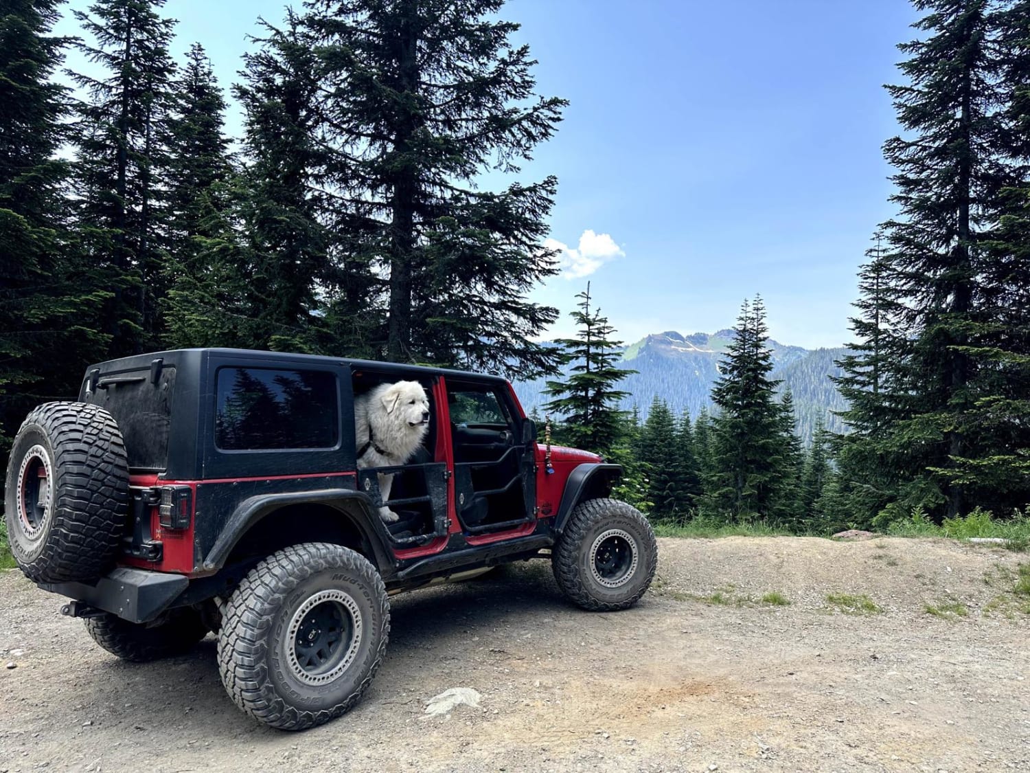
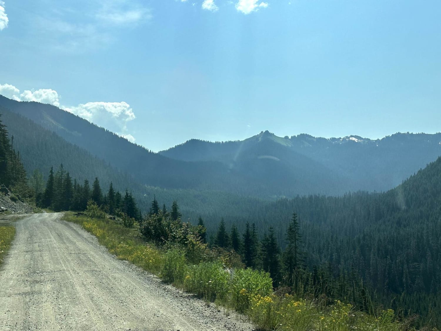
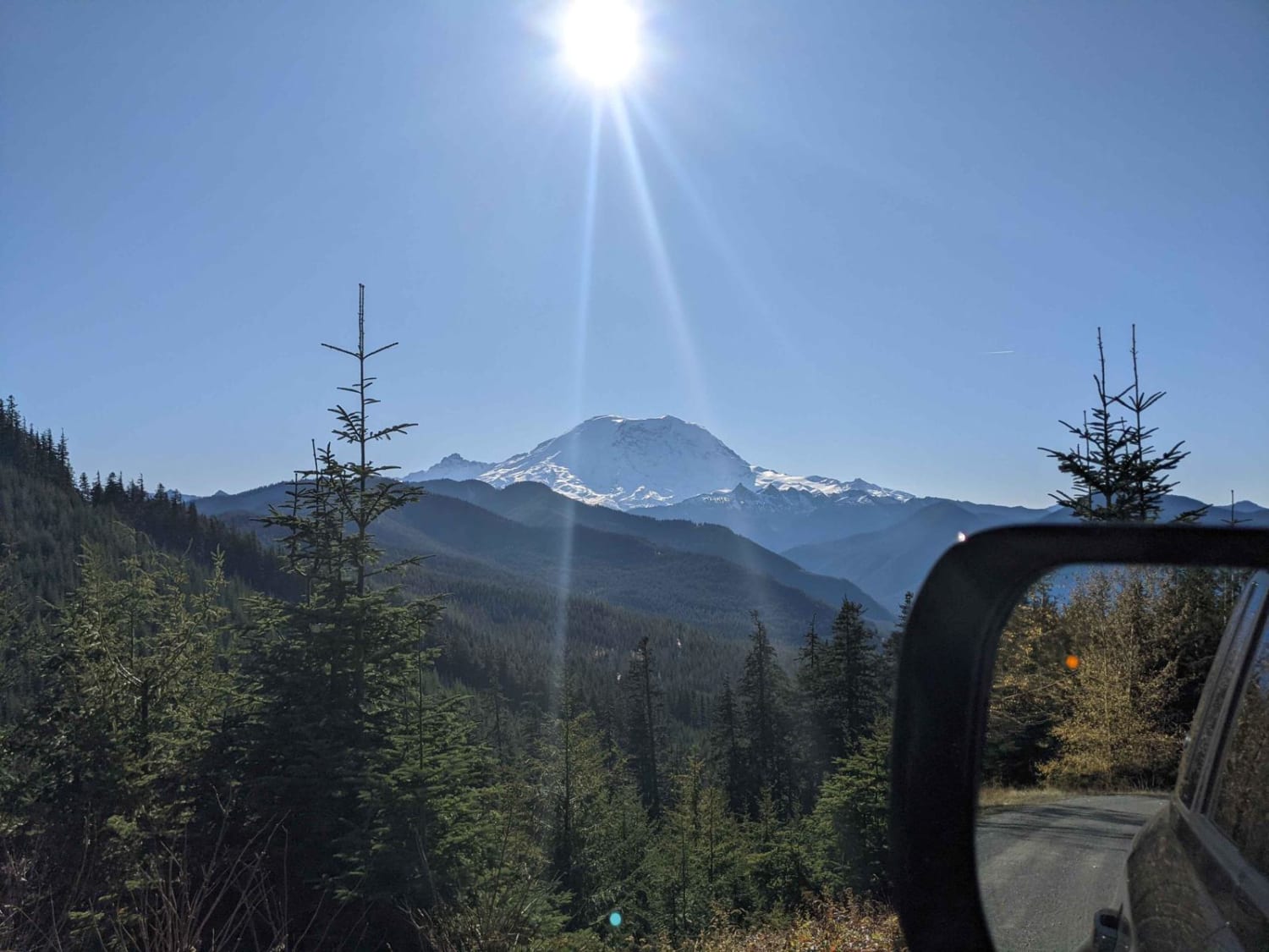
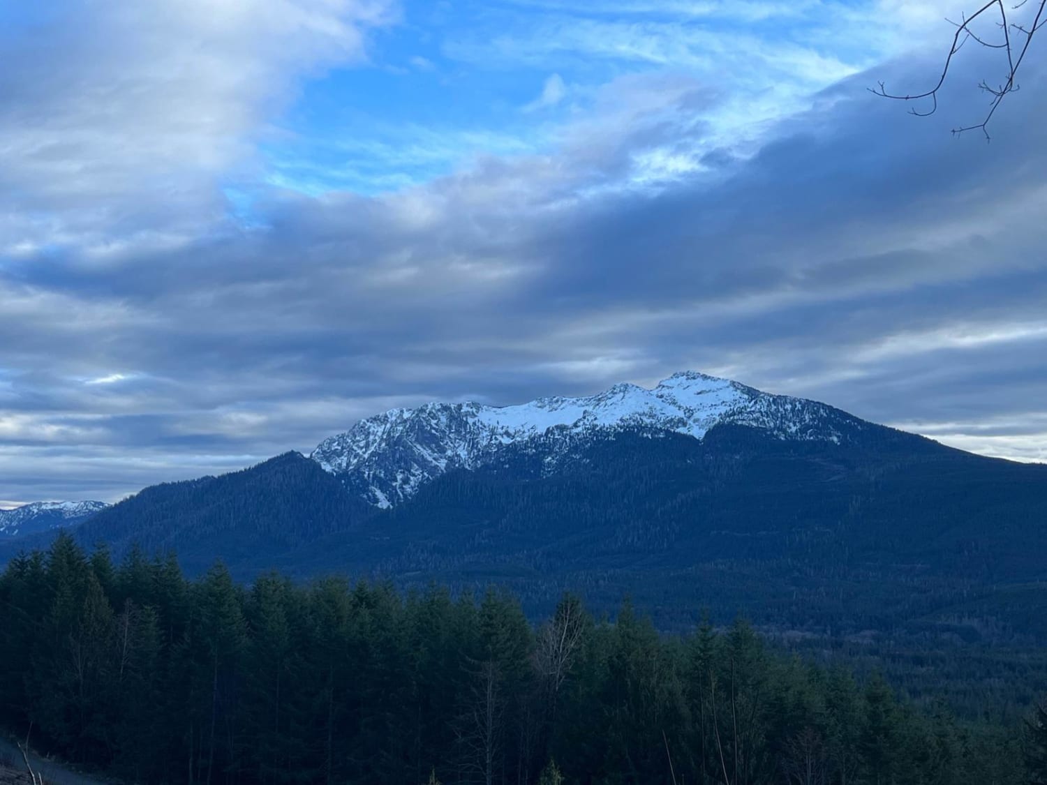
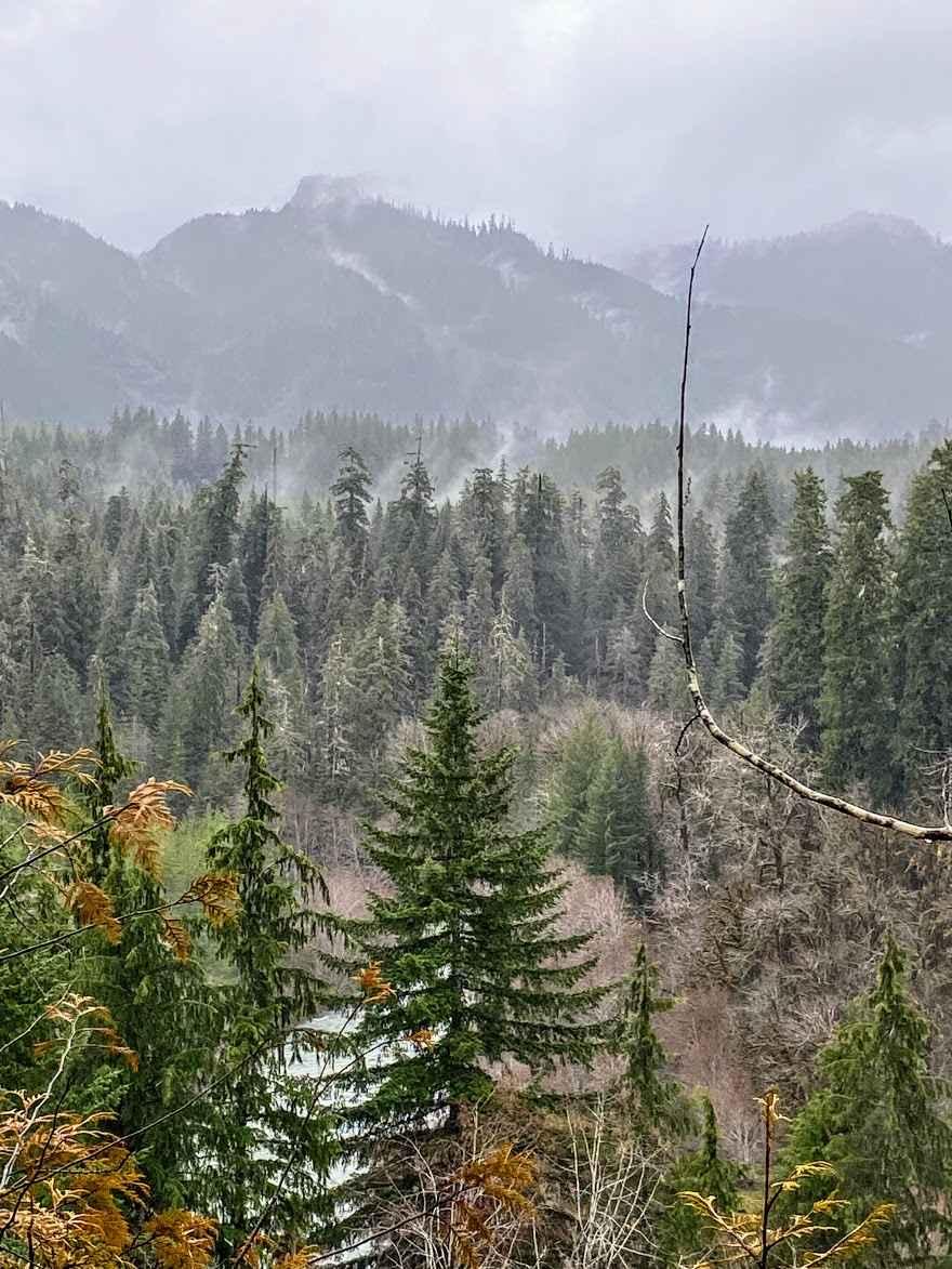
Trail Overview
This 15.2 miles out and back trail heads up to the Damfino Lakes Hiking Trailhead, which becomes a multi-use trail from 1 AUG to 30 SEP for horses and motorcycles. This road gives excellent views of Church, Bearpaw, and Excelsior Mountains with Mount Baker in the background. This road is passable by 2WD, AWD, and 4WD vehicles.
Photos of Canyon Creek Road
Difficulty
The road is mostly single vehicle with mud holes less than 12" in depth.
Status Reports
Canyon Creek Road can be accessed by the following ride types:
- High-Clearance 4x4
- SUV
- SxS (60")
- ATV (50")
- Dirt Bike
Canyon Creek Road Map
Popular Trails
National Forest Development Road 310
TUPSO Pass Mountain Stroll
Donkey Creek Cutoff
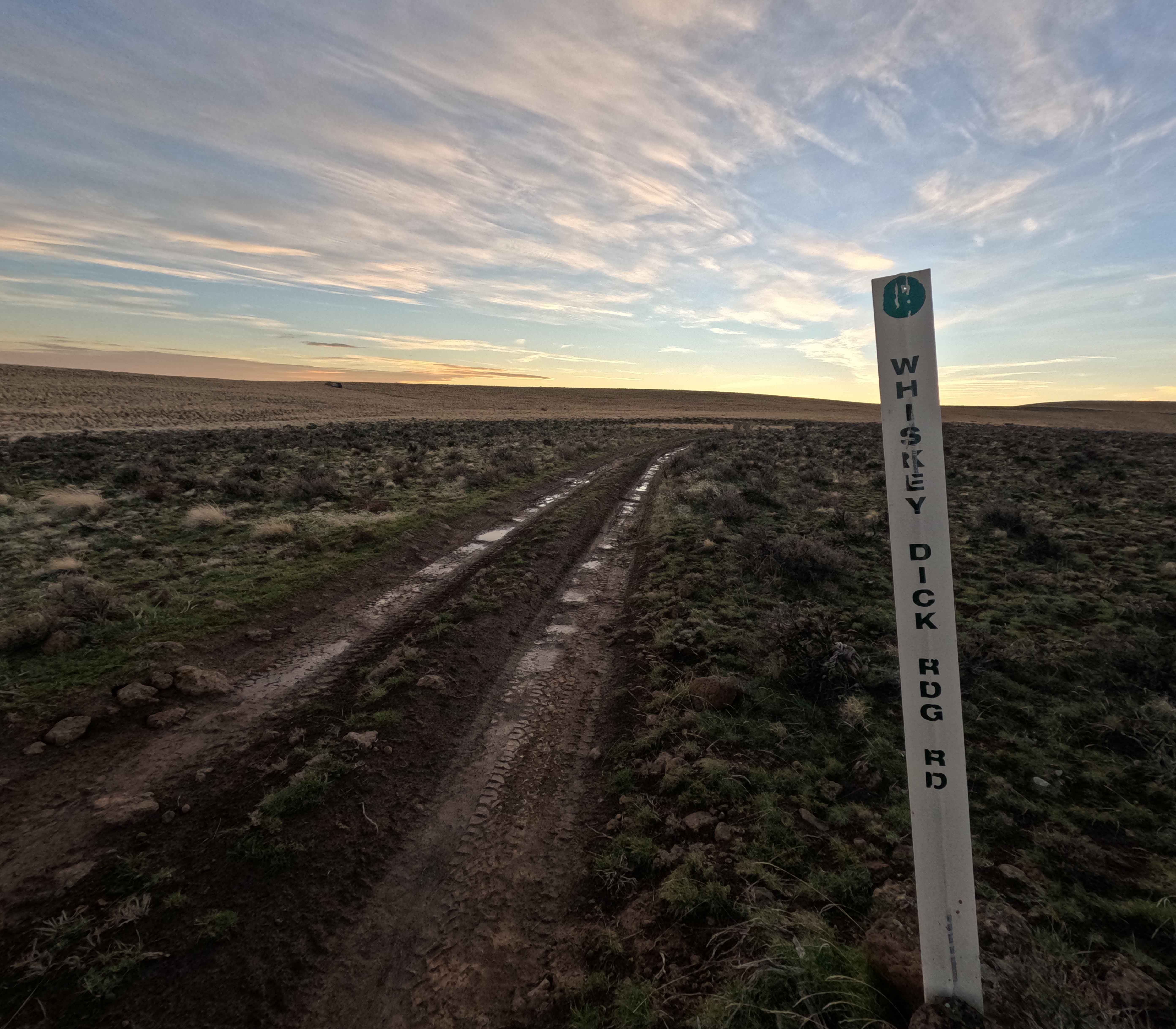
Whiskey Dick Ridge Road
The onX Offroad Difference
onX Offroad combines trail photos, descriptions, difficulty ratings, width restrictions, seasonality, and more in a user-friendly interface. Available on all devices, with offline access and full compatibility with CarPlay and Android Auto. Discover what you’re missing today!