Miners Point - NF3300-133
Total Miles
2.5
Technical Rating
Best Time
Spring, Summer, Fall
Trail Type
Full-Width Road
Accessible By
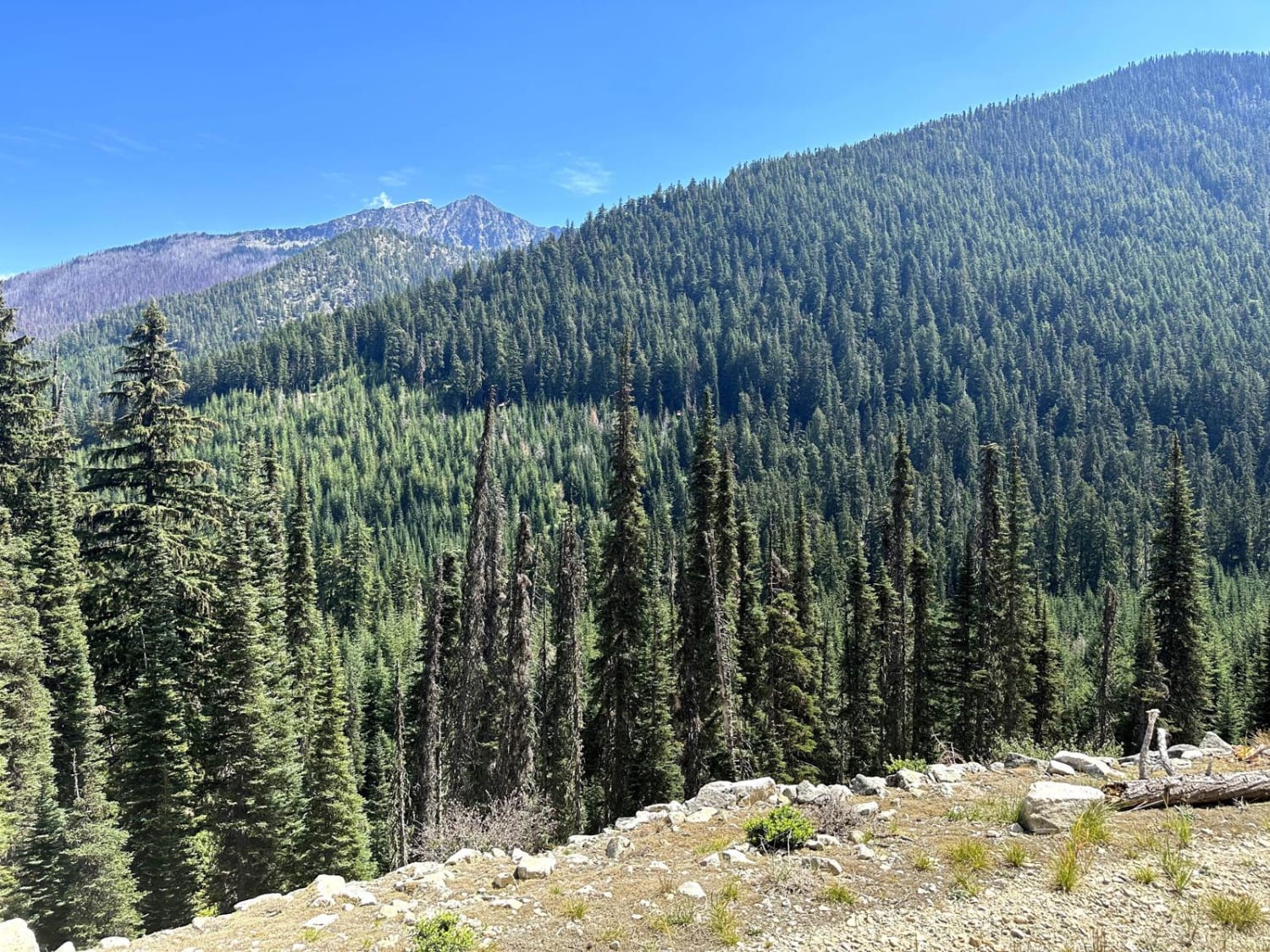
Trail Overview
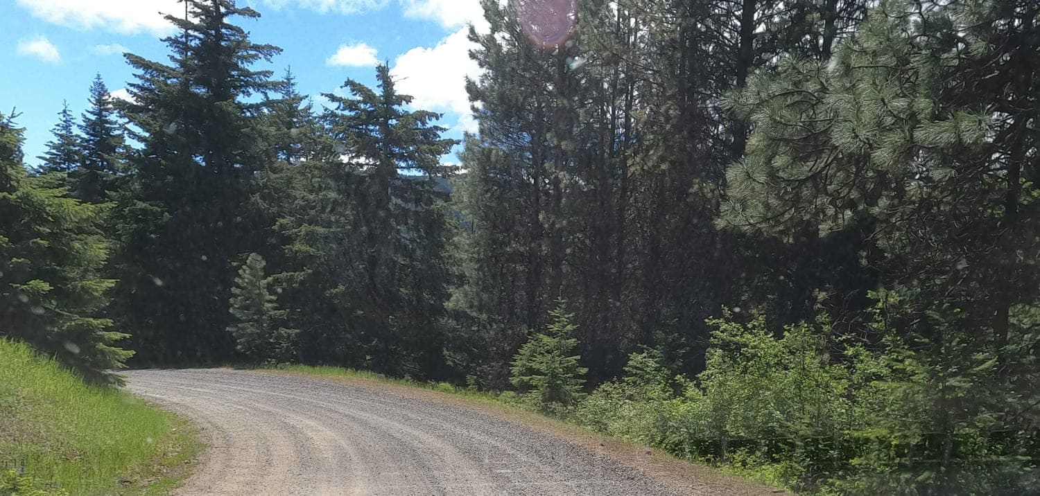
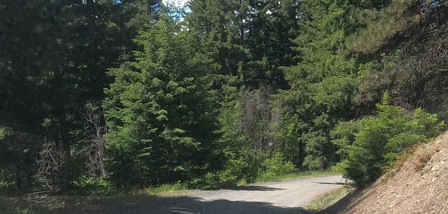
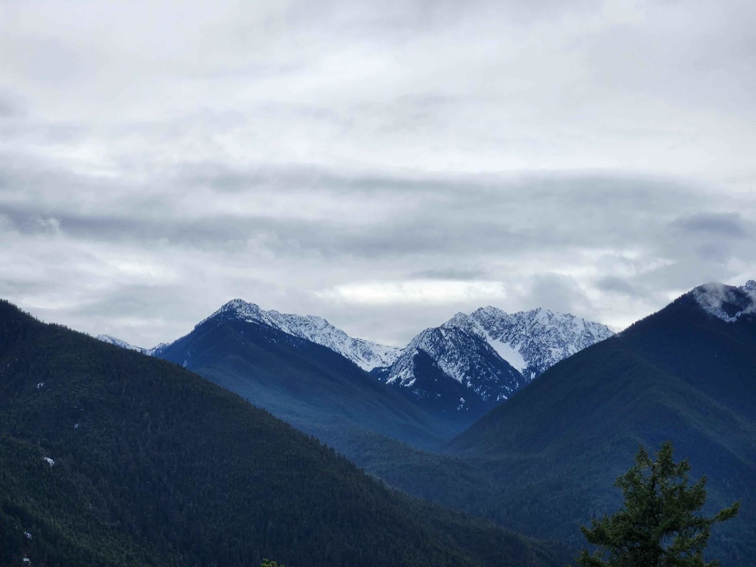
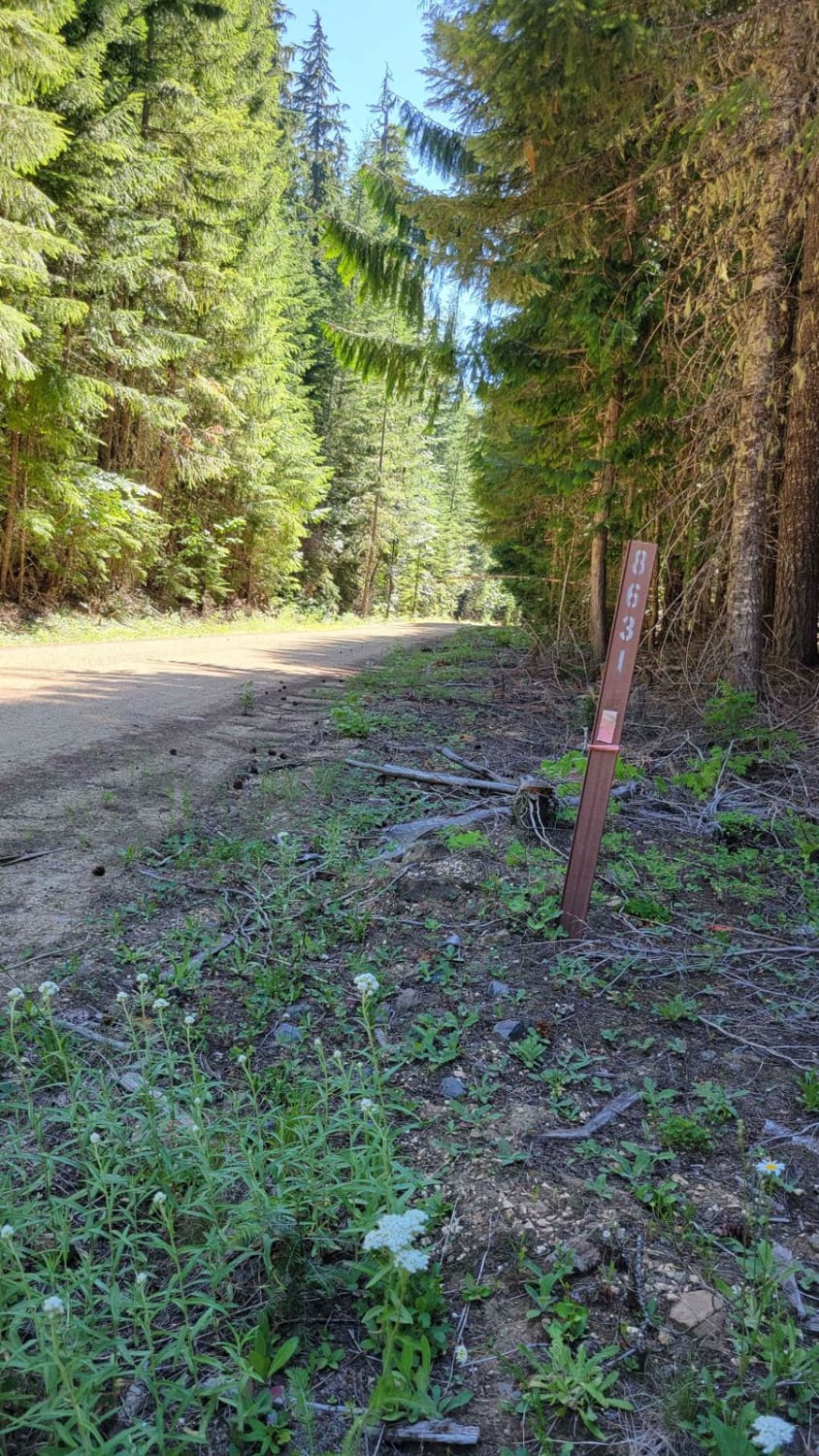
Miners Point is a 2.5-mile maintained gravel Forest Service road above the North Fork of Taneum Creek, spurring off Taneum Road at the Taneum Junction. This is a segment of a larger north-south 60-mile overlanding route connecting Cle Elum and the Highway 90 corridor to Nile on the Highway 410 corridor; this route travels gravel Forest Service roads through the Taneum-Manastash ORV area in the Wenatchee National Forest. The ORV trails in this area are open from June 15 to October 15, but many of the lower-elevation Forest Service roads are open and accessible year-round. This route tops out at about 5,000 feet and is likely clear by mid-May. The higher elevation routes to the west often are still snowbound well into July.
Photos of Miners Point - NF3300-133
Difficulty
This is an easy gravel Forest Service road.
Status Reports
Miners Point - NF3300-133 can be accessed by the following ride types:
- High-Clearance 4x4
- SUV
Miners Point - NF3300-133 Map
Popular Trails
Dungeness Fork Run

Manastash Trail West
Snowy Creek Trailhead
The onX Offroad Difference
onX Offroad combines trail photos, descriptions, difficulty ratings, width restrictions, seasonality, and more in a user-friendly interface. Available on all devices, with offline access and full compatibility with CarPlay and Android Auto. Discover what you’re missing today!