Big Burn Road
Total Miles
4.7
Technical Rating
Best Time
Spring, Summer, Fall
Trail Type
Full-Width Road
Accessible By
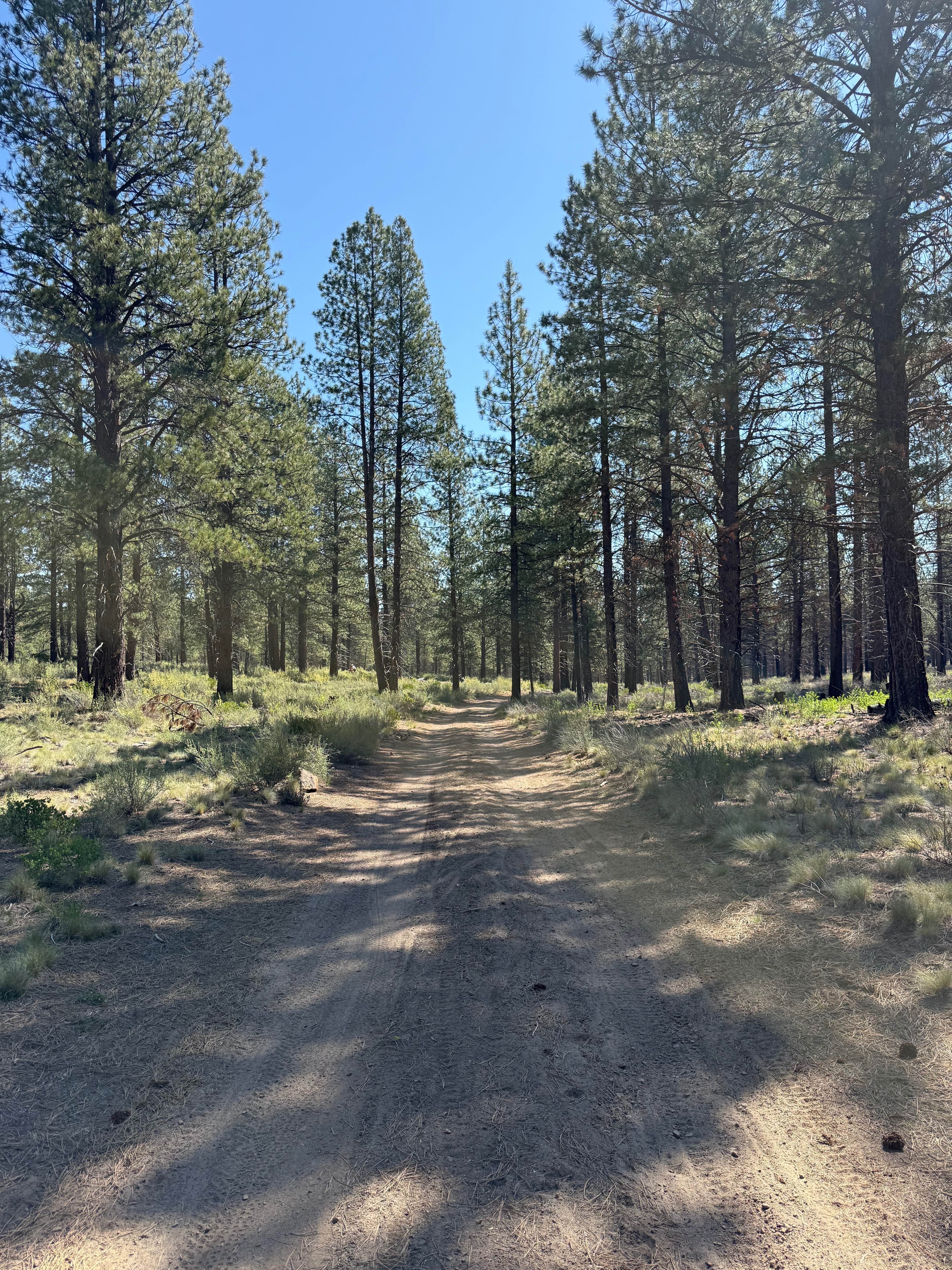
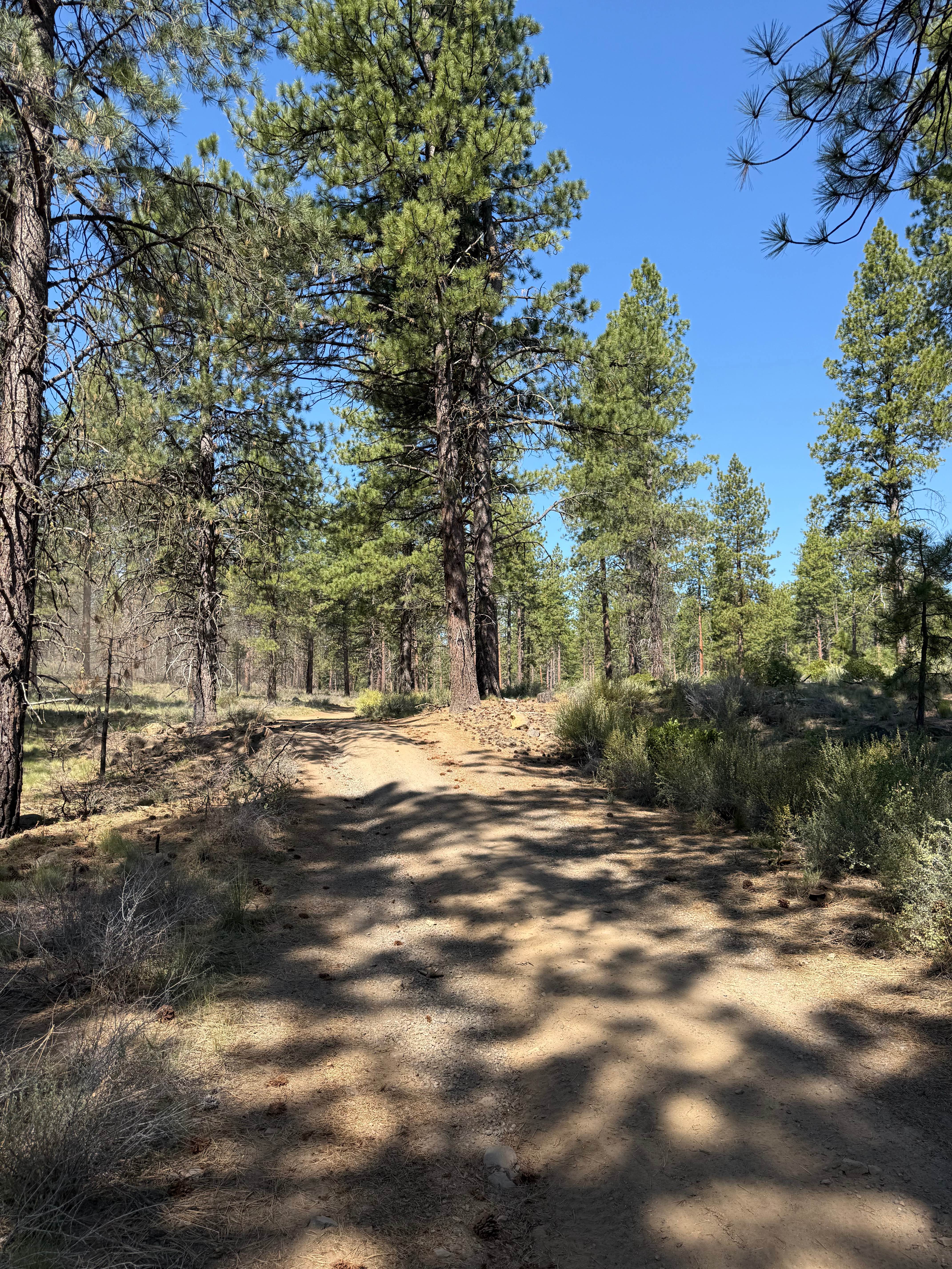
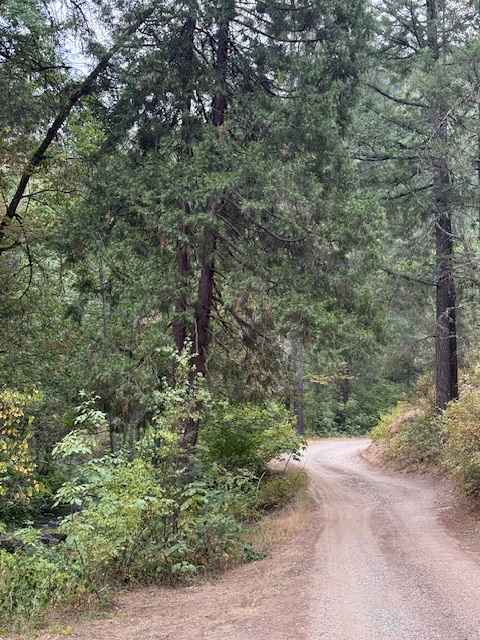
Trail Overview
Big Burn Road is one of the primary routes between Cascade Lakes Highway and NW Skyliners Road. It is an easy trail with no obstacles and is mainly used as an entry point to smaller surrounding trails. Phil's Trailhead bike paths zig-zag across Big Burn Road, so be cautious of cyclists. The trail is wide and consists of dirt, sand, and gravel that most 2WD vehicles should be capable of completing. The road is usually open but may occasionally close due to poor weather or prescribed burns. The drive is lined with tall trees on both sides and has occasional dispersed camping spots, though camping may be seasonally restricted. There are also some rock formations throughout the drive that may be cool to check out.
Photos of Big Burn Road
Difficulty
This road is very smooth and wide with only small rocks under 6in and no other obstacles.
Status Reports
Big Burn Road can be accessed by the following ride types:
- High-Clearance 4x4
- SUV
- SxS (60")
- ATV (50")
- Dirt Bike
Big Burn Road Map
Popular Trails
Steens Mountain Summit Road
Platt Canyon Road
Payette Trail - FS 970

The onX Offroad Difference
onX Offroad combines trail photos, descriptions, difficulty ratings, width restrictions, seasonality, and more in a user-friendly interface. Available on all devices, with offline access and full compatibility with CarPlay and Android Auto. Discover what you’re missing today!