Powerline
Total Miles
2.7
Technical Rating
Best Time
Spring, Fall
Trail Type
Single Track
Accessible By
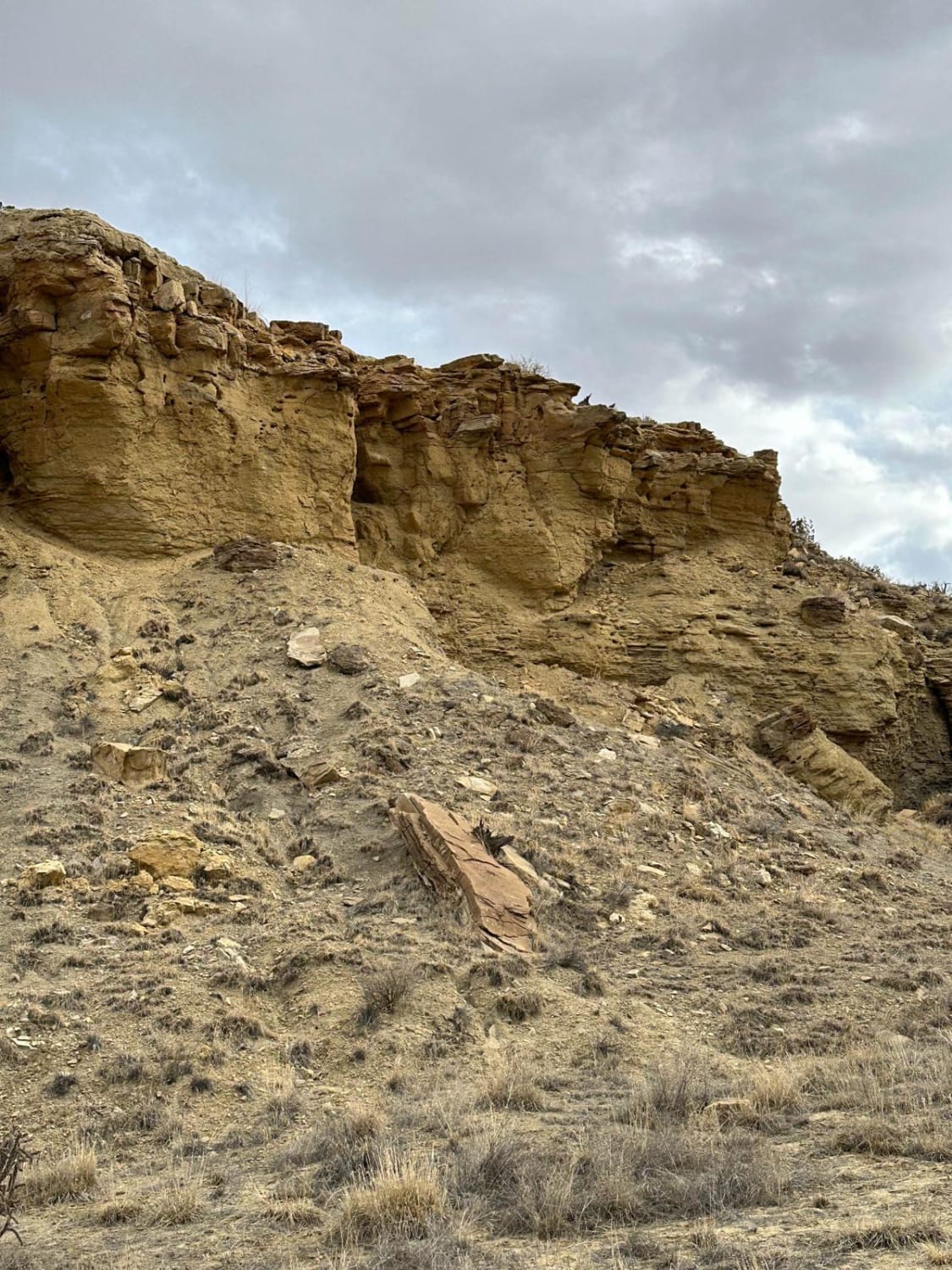
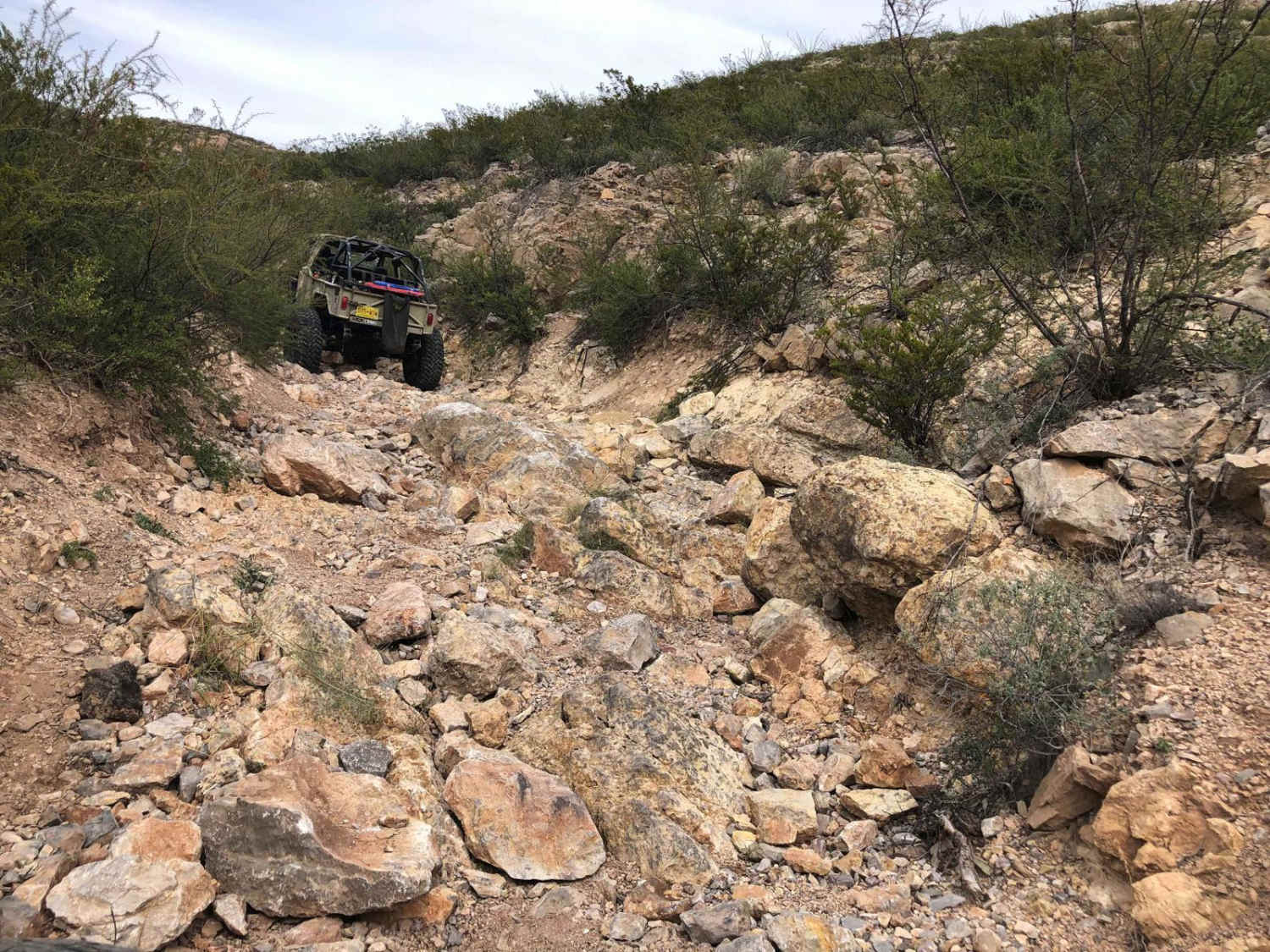
Trail Overview
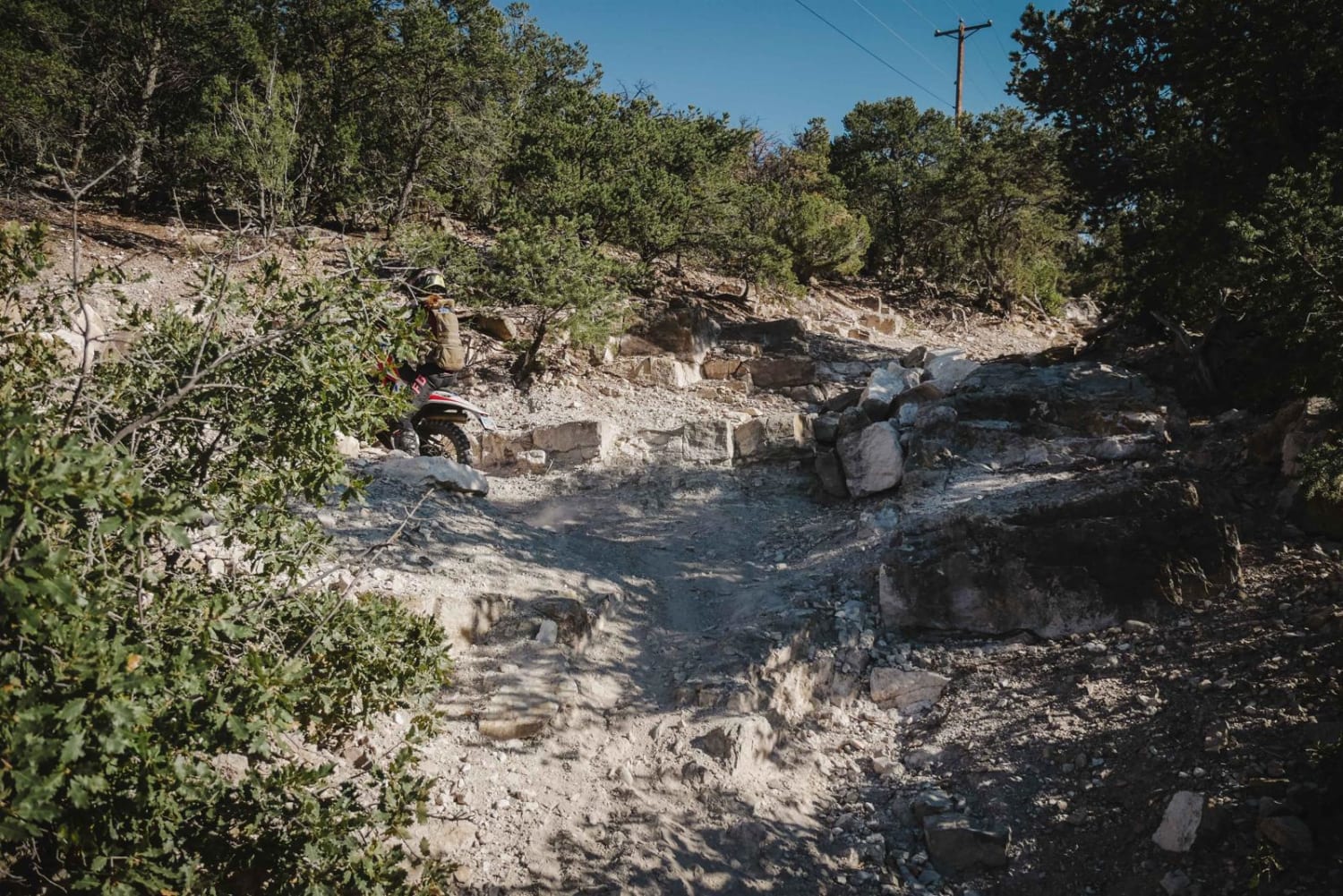
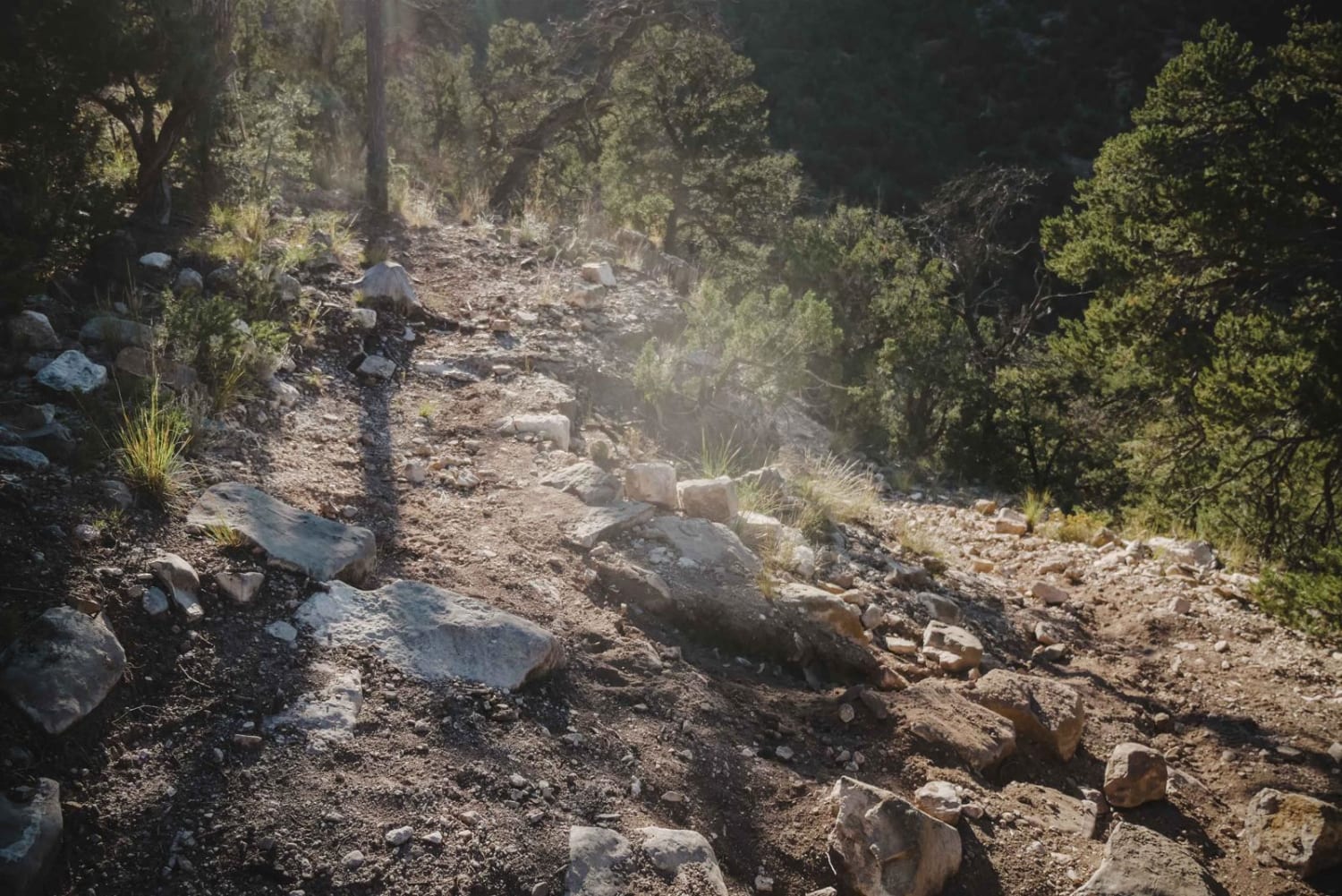
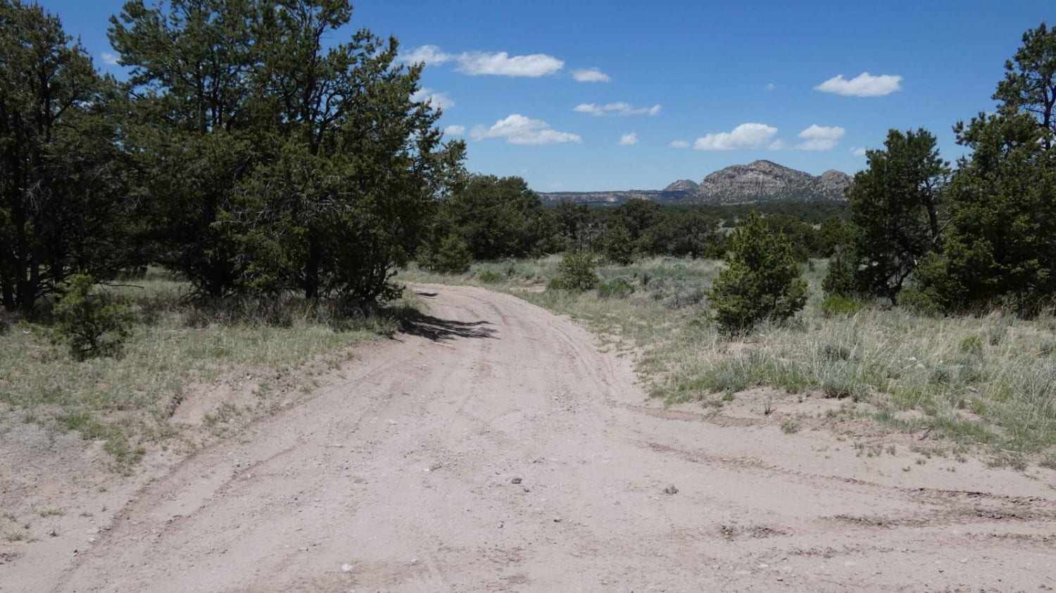
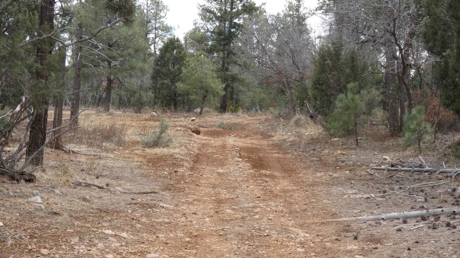
Powerline Trail is a 2.7-mile long single-track trail in the Manzanita Mountain trail system just west of Albuquerque, New Mexico. This trail is made up of several hard sections of rock ledge climbs that are steep and on loose dirt. The beginning of the trail starts off of the ATV bypass trail, which starts at the dirt staging area off of Forest Service Road 462 and meanders on the forest floor in and out of ravines and up the hillsides. The beginning is easy, but it becomes harder after the intersection with Chamisoso. It has several very rocky technical switchbacks on a surface covered in loose rocks. After climbing 800 feet, it dumps out at a logging area. It's hard to find the trail on the far side of the logging road. The last section is a wide trail all the way to a dirt road.
Photos of Powerline
Difficulty
This is a technical trail full of rock ledge obstacles.
Powerline can be accessed by the following ride types:
- Dirt Bike
Powerline Map
Popular Trails
Lone Mountain FS312
Frametwister
The onX Offroad Difference
onX Offroad combines trail photos, descriptions, difficulty ratings, width restrictions, seasonality, and more in a user-friendly interface. Available on all devices, with offline access and full compatibility with CarPlay and Android Auto. Discover what you’re missing today!