Powderhorn Ridge
Total Miles
10.2
Technical Rating
Best Time
Spring, Summer, Fall, Winter
Trail Type
Full-Width Road
Accessible By
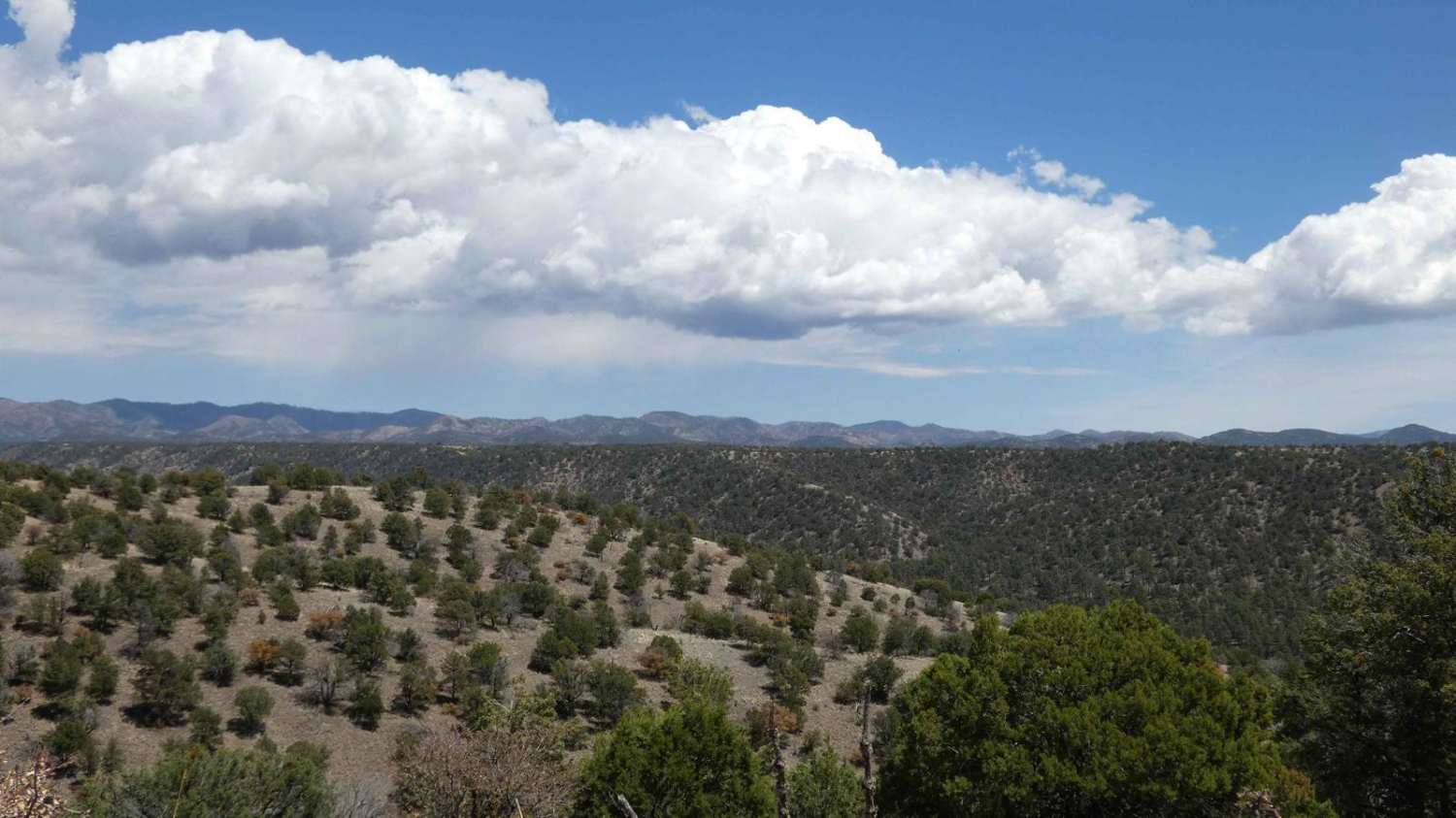
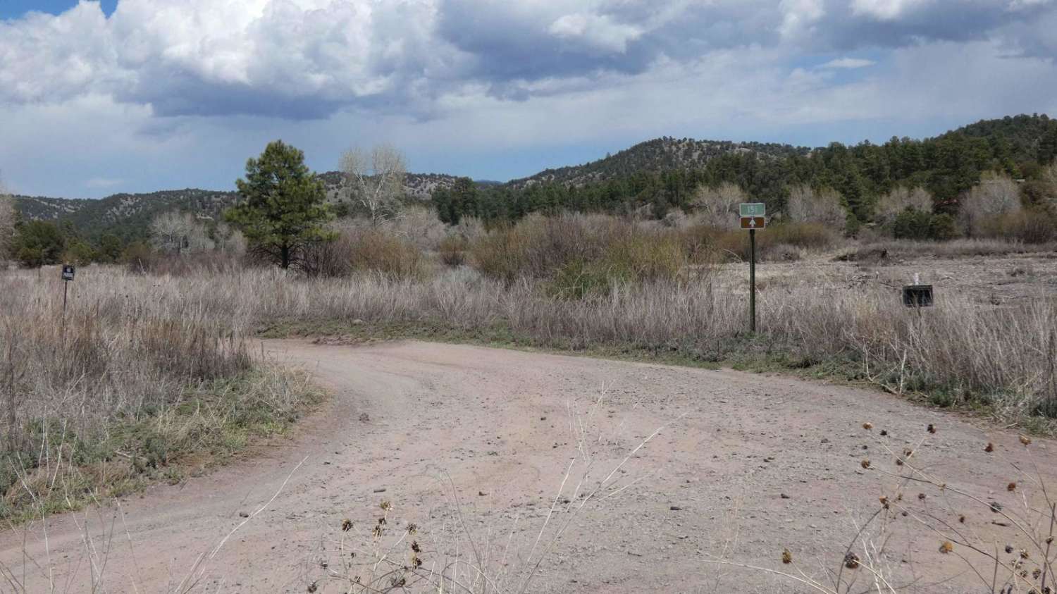
Trail Overview
Powderhorn Ridge begins in a short section of private land tracks before meeting the Gila National Forest boundary that is designated via a large sign and a water crossing that cuts through the Mimbres River. The trail shows recent signs of being maintained as of 04/2024 and is primarily a dirt surface with some small rocks for the first several miles. Cell service is decent for the majority of the trail except for the last two miles where it drops to no service. The surface also changes over the last couple of miles, becoming primarily rock with some low-grade climbs. A few short areas of the trail are extremely narrow and become a shelf road; there is no room to pass in these areas and drivers should be aware of the blind curves that follow. This is an out-and-back trail that ends at a small meadow surrounded by taller trees. Dispersed camping is permitted along the trail except for the first half mile, which is private land. This trail may be completed by most high-clearance 2WD and AWD vehicles provided they can make it through the water crossing that is approximately 10 inches in depth--it may increase depending on the weather. There are no obstacles larger than 12 inches for the entirety of the trail and there are several areas to pass or turn around.
Photos of Powderhorn Ridge
Difficulty
Drivers will encounter a water crossing early on in the trail that is approximately 10 inches in depth but may vary depending on rain or snow melt. There are no obstacles larger than 12 inches along the trail, but drivers should be aware of the short steep grades and rocky surface towards the last 2 miles on the trail.
Status Reports
Powderhorn Ridge can be accessed by the following ride types:
- High-Clearance 4x4
- SUV
- SxS (60")
- ATV (50")
- Dirt Bike
Powderhorn Ridge Map
Popular Trails

Chaco Overlook

Kutz Canyon East
Nalgas Rock Overlook via Powerline Road
Abiquiu Dam
The onX Offroad Difference
onX Offroad combines trail photos, descriptions, difficulty ratings, width restrictions, seasonality, and more in a user-friendly interface. Available on all devices, with offline access and full compatibility with CarPlay and Android Auto. Discover what you’re missing today!