Burny Cole Point - FR 99
Total Miles
5.0
Technical Rating
Best Time
Spring, Summer, Fall
Trail Type
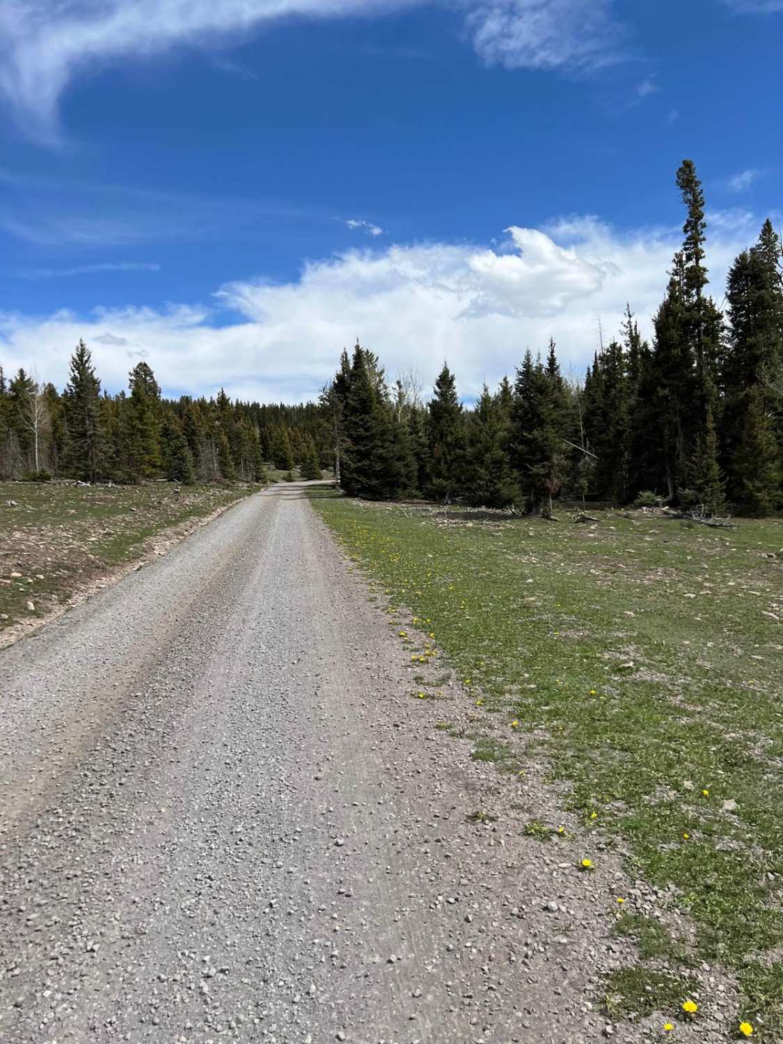
Full-Width Road
Accessible By
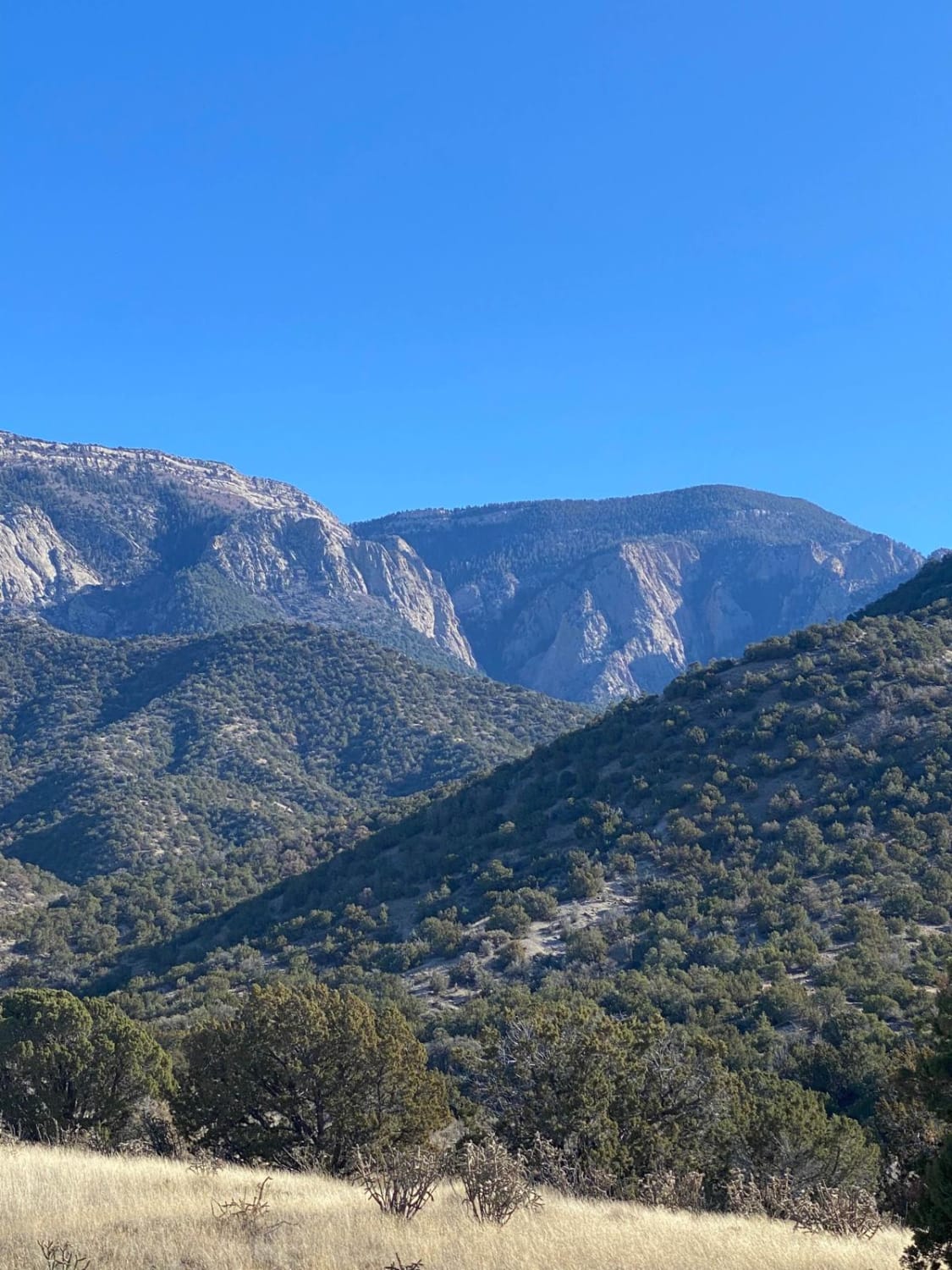
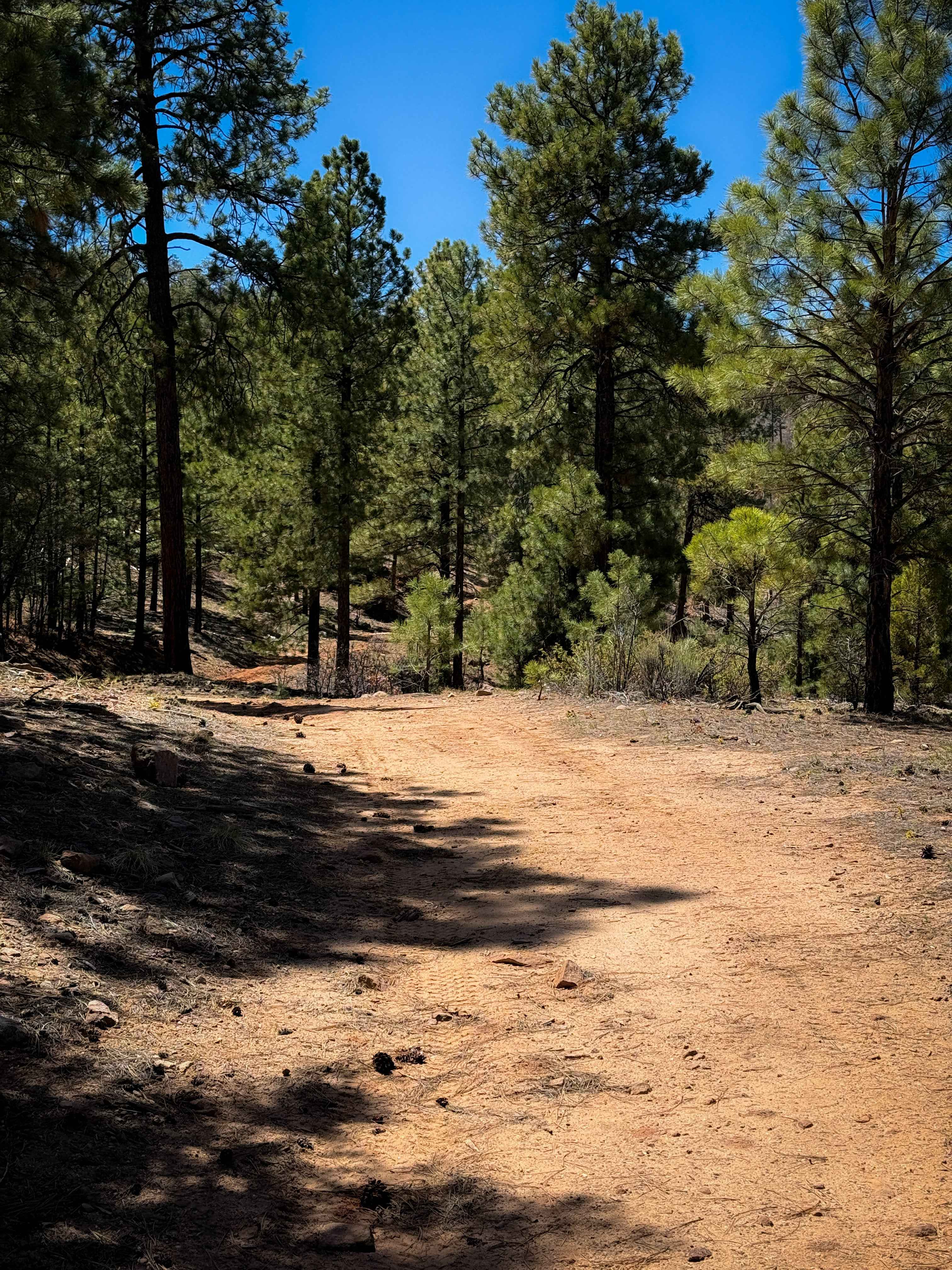
Trail Overview
This route has incredible views near FR 144 of Canones Creek and in the distance of Abiquiu Valley. The elevation is over 10,000 feet at the highest point. Two local wildland firefighters named this trail in remembrance of their Australian Shepards, Burny and Coal. Ironically, numerous forest fires scar the mountain landscape in all directions.
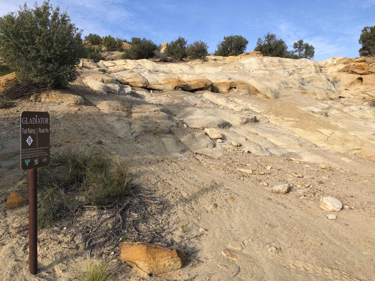
Photos of Burny Cole Point - FR 99

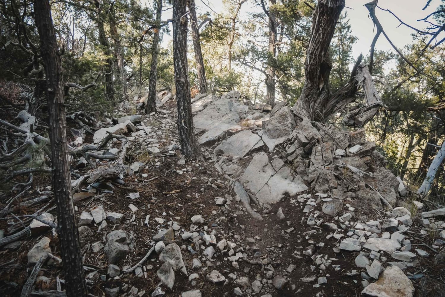
Difficulty
There are steep drop offs and drainage issues but no major obstacles.
Status Reports
Burny Cole Point - FR 99 can be accessed by the following ride types:
- High-Clearance 4x4
- SUV
- SxS (60")
- ATV (50")
- Dirt Bike
Burny Cole Point - FR 99 Map
Popular Trails
Forest Loop Road 445
The onX Offroad Difference
onX Offroad combines trail photos, descriptions, difficulty ratings, width restrictions, seasonality, and more in a user-friendly interface. Available on all devices, with offline access and full compatibility with CarPlay and Android Auto. Discover what you’re missing today!