Segrest Draw
Total Miles
5.3
Technical Rating
Best Time
Spring, Summer, Fall, Winter
Trail Type
Full-Width Road
Accessible By
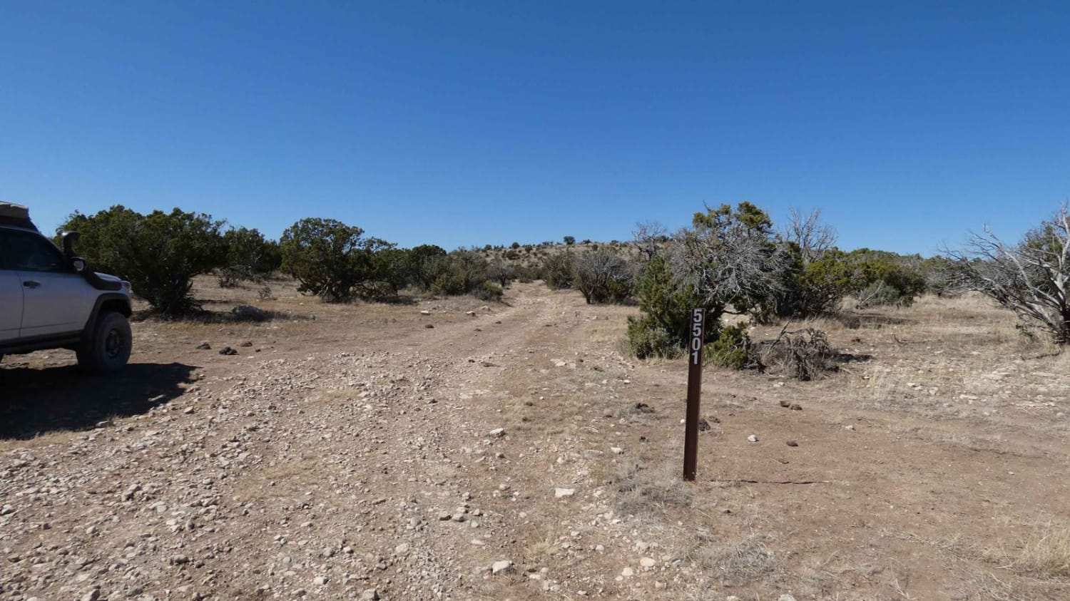
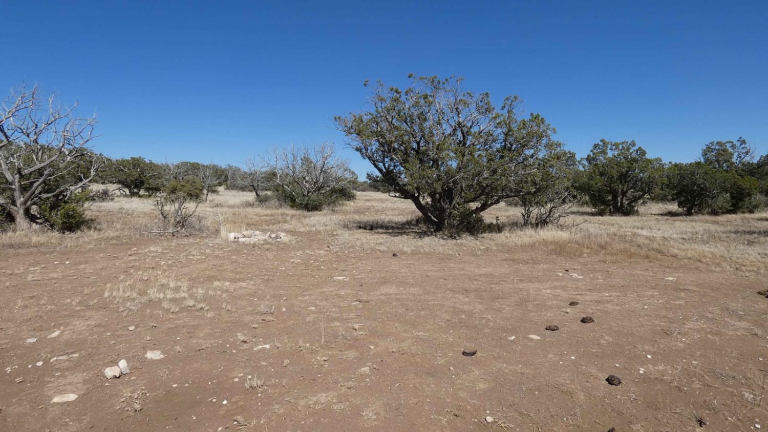
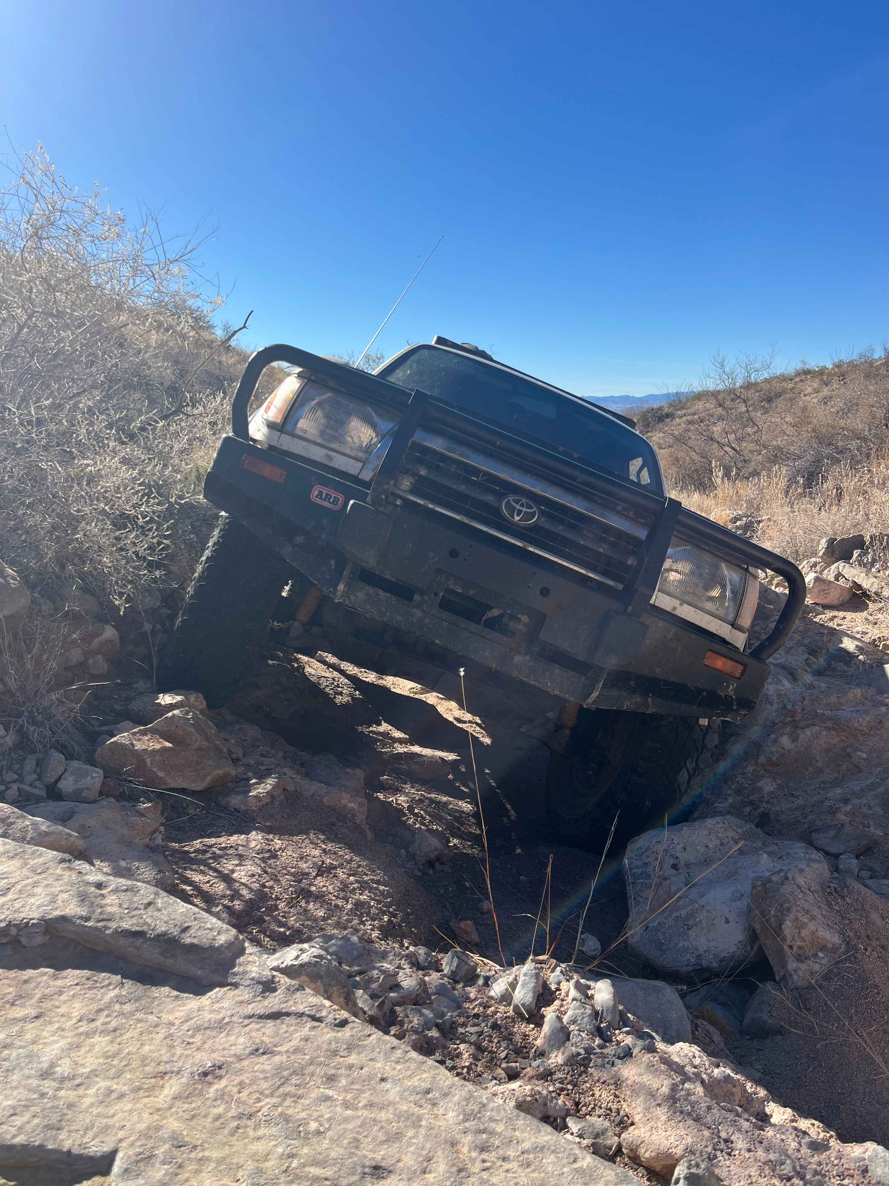
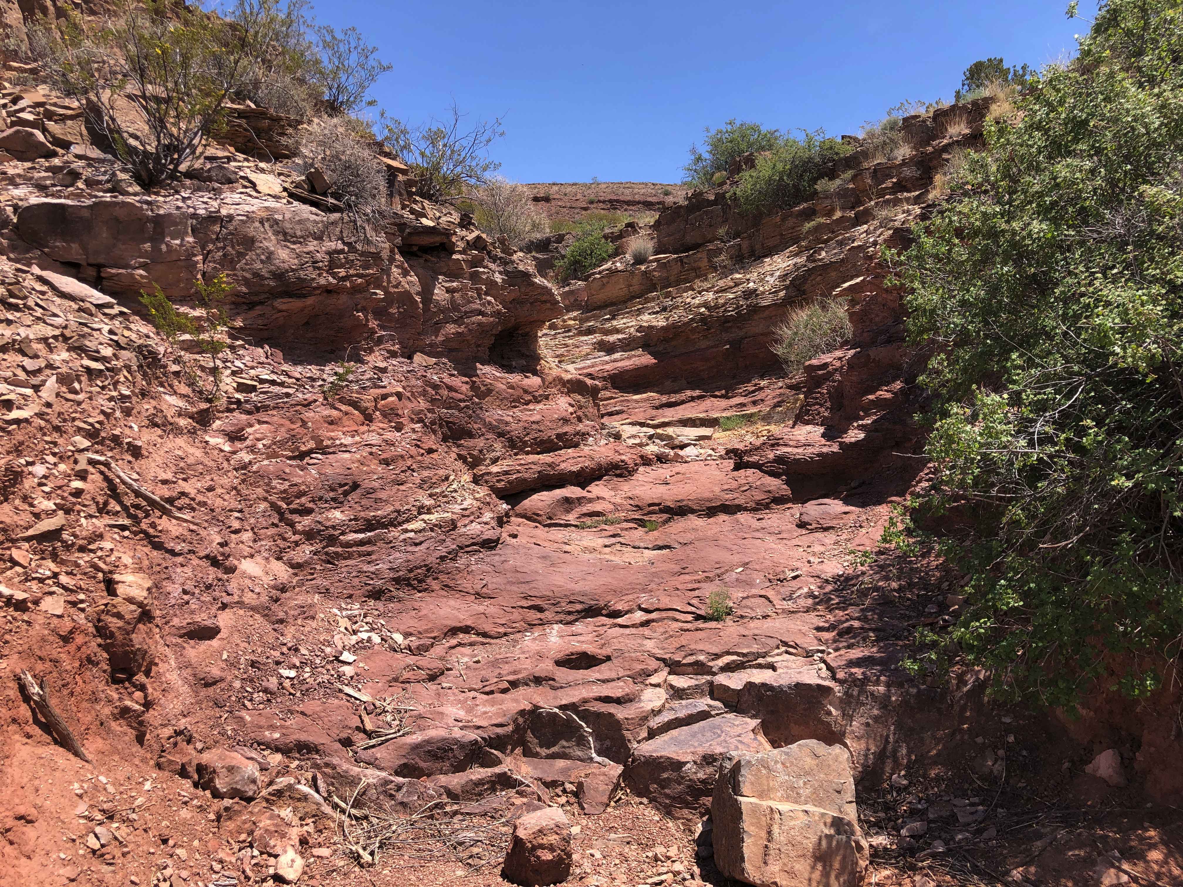
Trail Overview
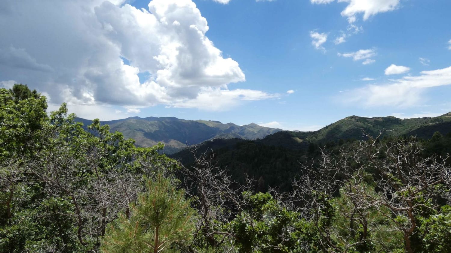
Segrest Draw can be accessed from Guadalupe Rim Road and is primarily a dirt surface with small areas being primarily rock. There are no obstacles larger than 10" along the route, but there are a few areas with substantial rutting and erosion. While it appears the trail is well maintained, rutting and erosion will become worse after rains. The trail is mostly single-vehicle wide with room to pass, but can be very narrow in areas where erosion is present. Most AWD and 4x4 vehicles will be able to traverse the trail without issue. There are several low washes in the area that have the potential to be shallow water crossings after rain with heavy amounts of mud. There is a single motorized spur early on the trail with the trail ending at Sargent Tank/FS517. The trail has a few areas early on for dispersed camping. Cell service was moderate throughout the route becoming stronger towards the end. Views are limited with the exception of a few open meadows.
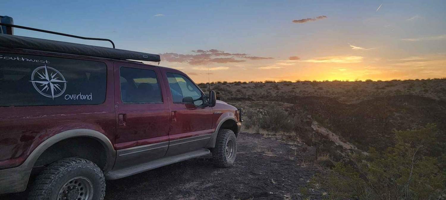
Photos of Segrest Draw
Difficulty
Expect minor rutting, erosion and washes, rock gardens, and loose rocks under 10". There are potential water crossings after rain.
Status Reports
Segrest Draw can be accessed by the following ride types:
- High-Clearance 4x4
- SUV
- SxS (60")
- ATV (50")
- Dirt Bike
Segrest Draw Map
Popular Trails
Parsons - FSR108
Coyote Hills
Border to Las Cruces
The onX Offroad Difference
onX Offroad combines trail photos, descriptions, difficulty ratings, width restrictions, seasonality, and more in a user-friendly interface. Available on all devices, with offline access and full compatibility with CarPlay and Android Auto. Discover what you’re missing today!