Peavine Road - 12 Mile Road
Total Miles
11.9
Technical Rating
Best Time
Spring, Summer, Fall
Trail Type
Full-Width Road
Accessible By
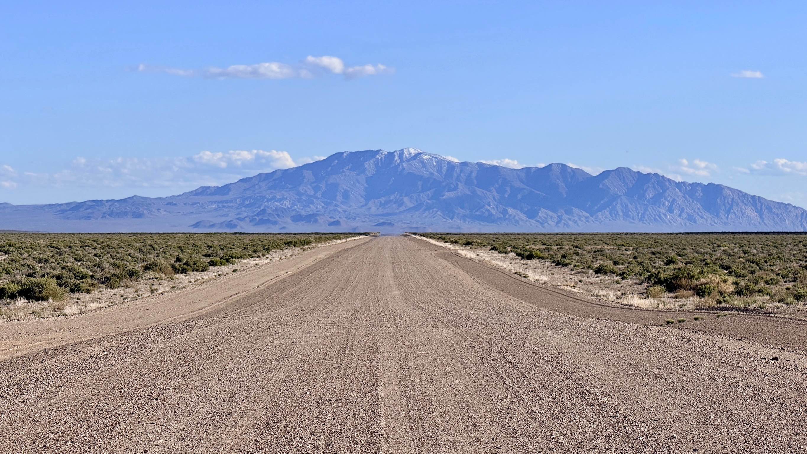
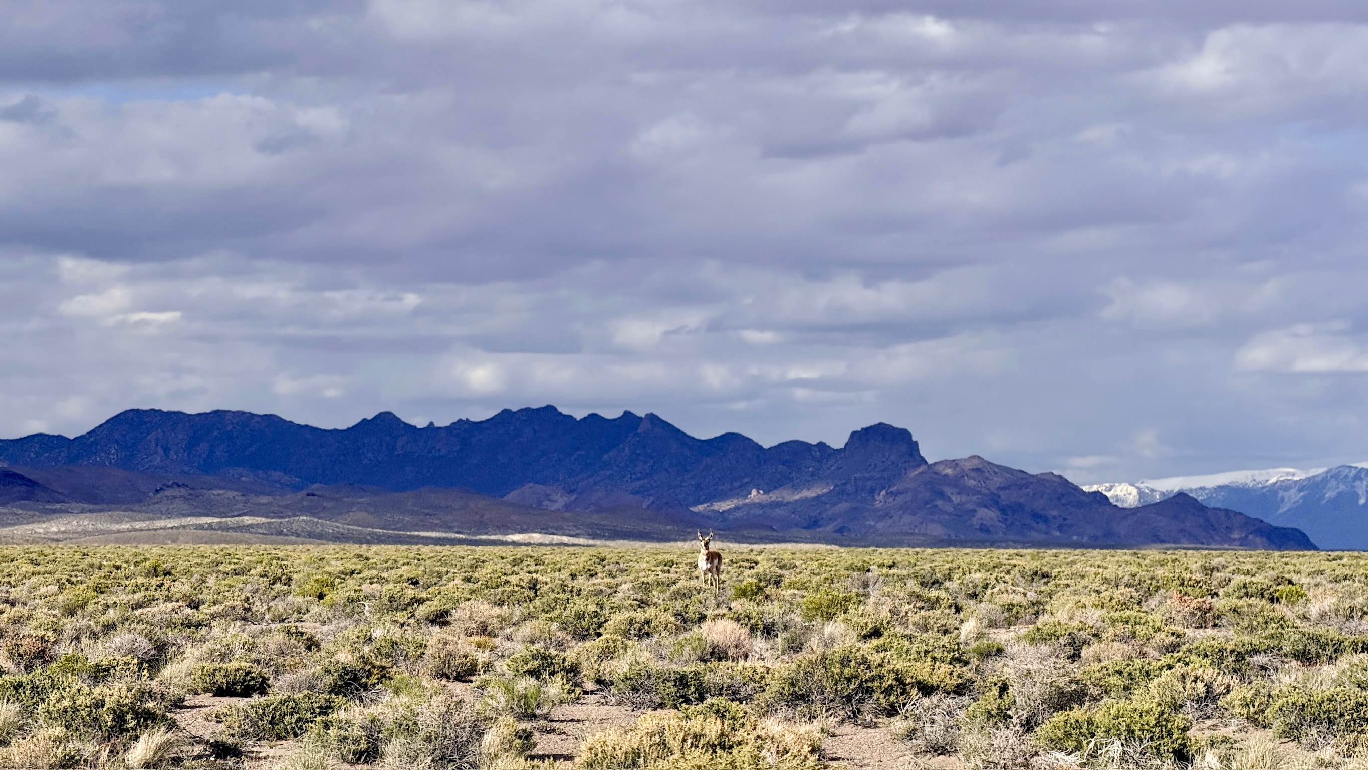
Trail Overview
Peavine Road, commonly known as 12 Mile Road, is a high-speed, well-maintained dirt "highway" that serves as the main north-south artery of the San Antonio Valley. The route begins just north of the massive Crescent Dunes Solar Facility, whose towering central collector serves as a futuristic landmark visible for miles. This is the definitive express route for adventurers looking to reach the southern access points of the Arc Dome Wilderness and the various technical canyon loops of the southern Toiyabe Range. The driving experience is smooth and efficient, characterized by a wide, professionally graded gravel surface that remains reliable even when the weather turns. Because this road is a vital link for regional mining operations and large-scale farming, it is built to handle significant traffic and heavy loads. As you cruise through the expansive valley floor, keep your eyes on the sagebrush; the wide-open nature of this corridor makes it one of the best places in Nevada to see Pronghorn Antelope. Be highly vigilant for heavy machinery, wide-load mining equipment, and large ranching trucks. Always give industrial vehicles the right-of-way and move to the far right when passing. You may pick up a bar of LTE service near the solar project, but it fades quickly as you head north. Download offline maps before leaving the Tonopah corridor.
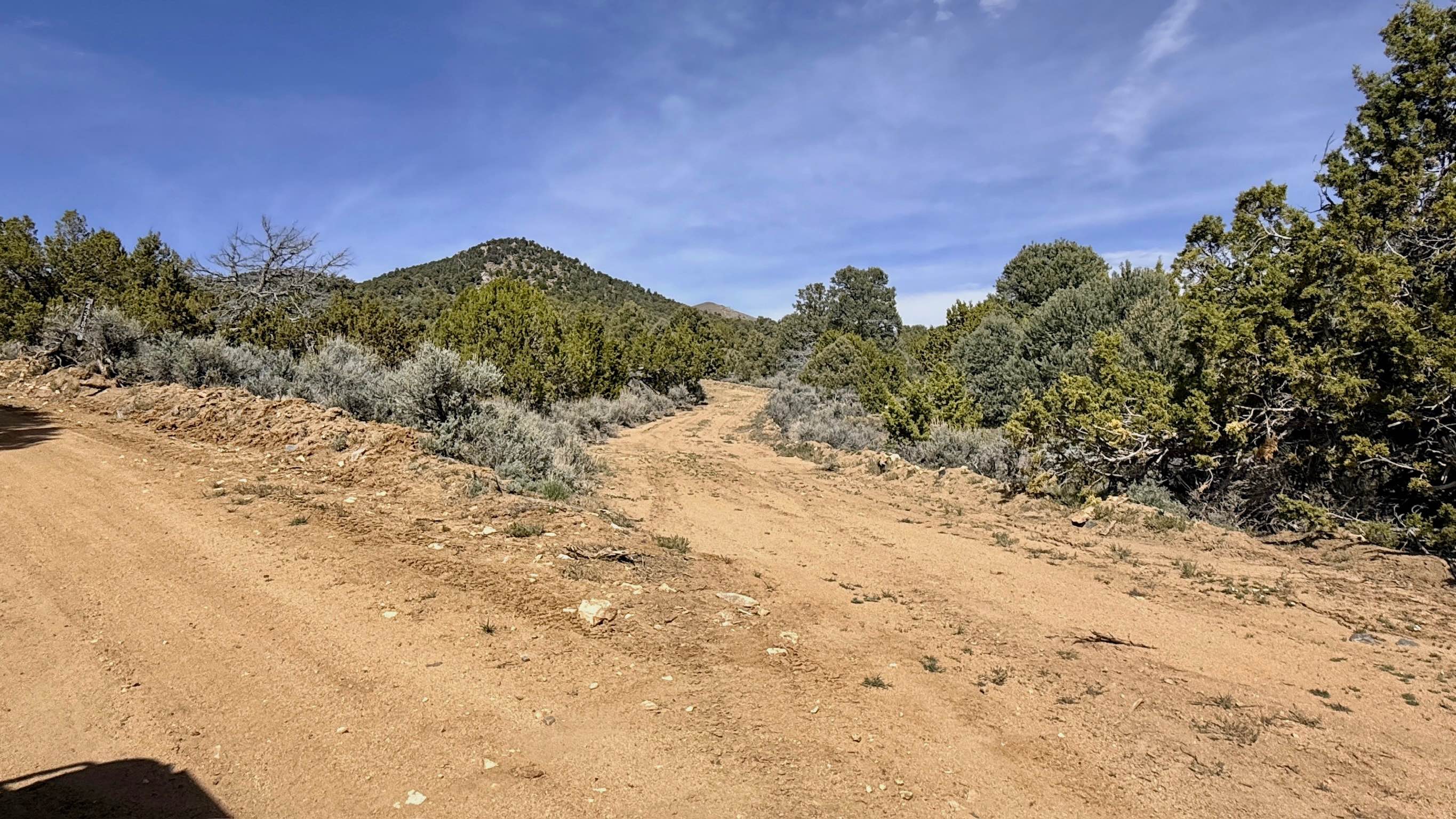
Photos of Peavine Road - 12 Mile Road
Difficulty
While the road is rated a 1 and allows for higher speeds, be mindful of following distances and dust clouds that can obscure vision for you and other drivers. Suitable for all vehicle types, including 2WD sedans, low-clearance crossovers, large motorhomes, and heavy overland trailers. The well-compacted gravel provides excellent traction for almost any rig.
History
The name "12 Mile Road" likely stems from the era of horse-drawn freight, marking the distance from the Tonopah townsite to a significant well or stage station. This corridor represents the remarkable technological evolution of Nevada; in just 150 years, this valley has transitioned from 19th-century silver freighting to the cutting-edge green energy of the Crescent Dunes Solar Project.
Status Reports
Peavine Road - 12 Mile Road can be accessed by the following ride types:
- High-Clearance 4x4
- SUV
- SxS (60")
- ATV (50")
- Dirt Bike
Peavine Road - 12 Mile Road Map
Popular Trails
Yankee Blade (FS43184E)
Old Man Canyon / Seven Devils Hot Springs
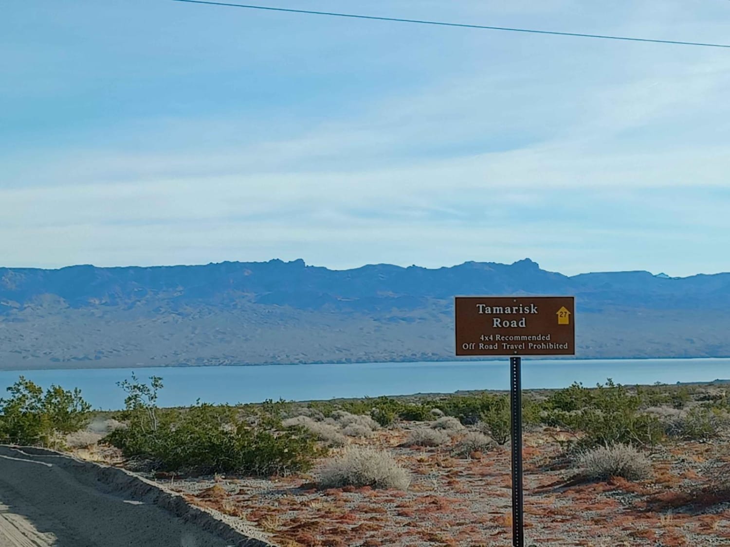
Tamarisk Road
North Silver King Mine - FS 43182
The onX Offroad Difference
onX Offroad combines trail photos, descriptions, difficulty ratings, width restrictions, seasonality, and more in a user-friendly interface. Available on all devices, with offline access and full compatibility with CarPlay and Android Auto. Discover what you’re missing today!