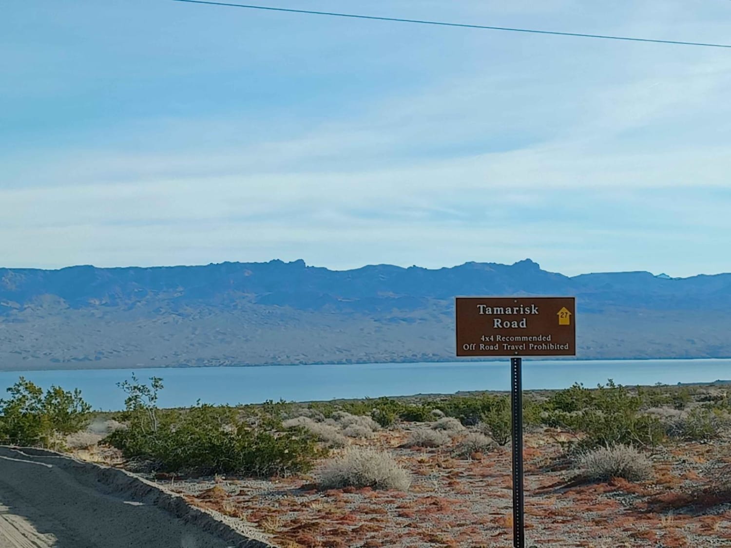
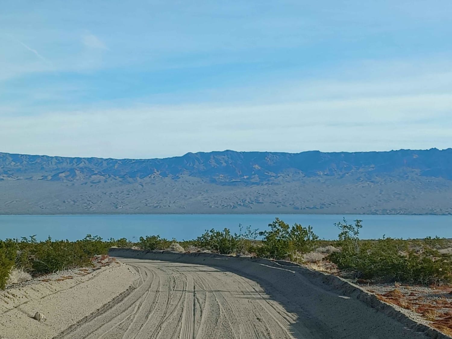
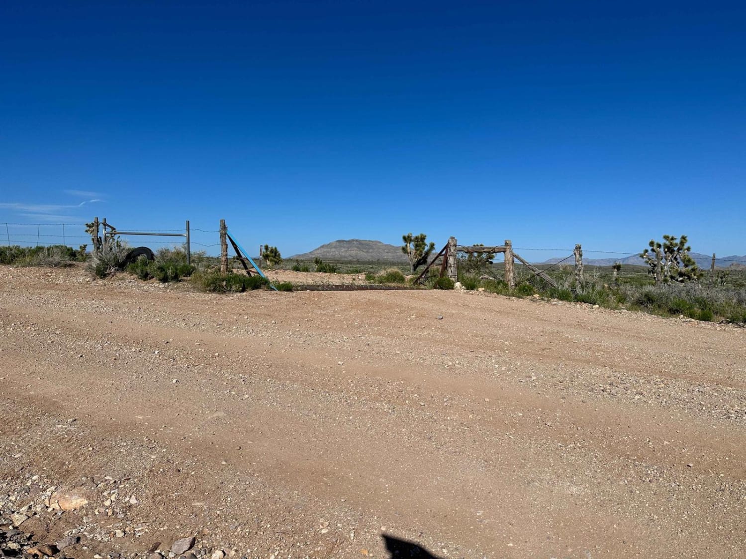
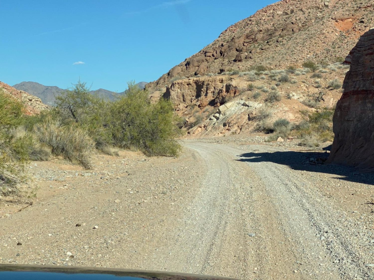
Tamarisk Road
Total Miles
2.5
Technical Rating
Best Time
Spring, Summer, Fall, Winter
Trail Type
Full-Width Road
Accessible By
Trail Overview
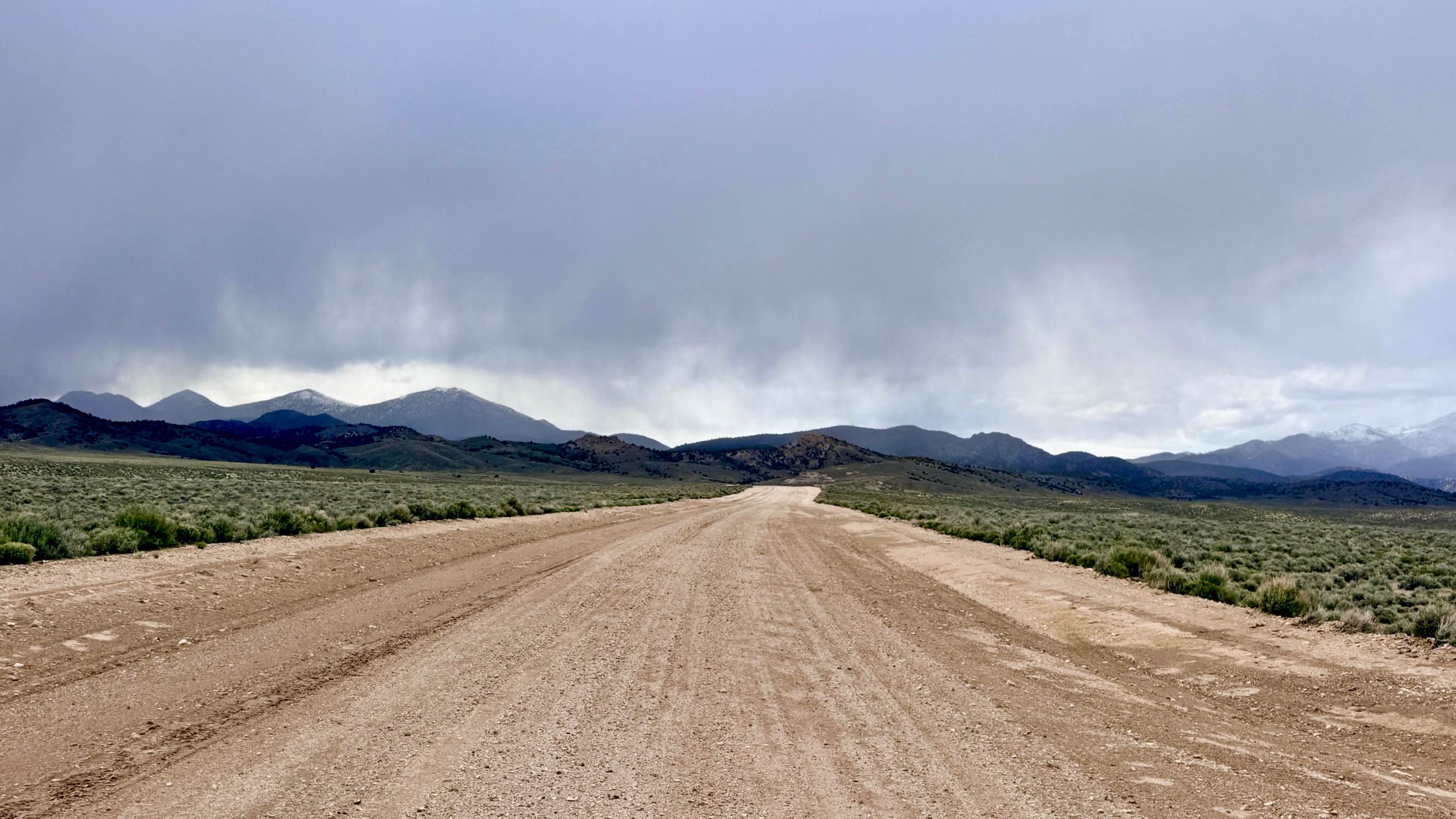
Tamarisk Road runs through Lake Mead National Recreation Area. This area is a limited-use area, and camping is only allowed in approved areas, offroad use is not allowed unless on a designated route. It is an easy road but can be loose sand in sections, 4x4 is recommended, in the rainy season this area is prone to flash floods. Beautiful view of the water at the end of this road with a small area for camping at the end.
Photos of Tamarisk Road
Difficulty
Sandy in sections, the possibility for water crossing and mud. Advised not to do this road in bad weather, as you can find yourself in a flash flood.
Status Reports
Tamarisk Road can be accessed by the following ride types:
- High-Clearance 4x4
- SUV
- SxS (60")
- ATV (50")
- Dirt Bike
Tamarisk Road Map
Popular Trails
Lime Mountain Road
Chris Angel's Breakfast Lunch Pizza
Belmont Shortcut
The onX Offroad Difference
onX Offroad combines trail photos, descriptions, difficulty ratings, width restrictions, seasonality, and more in a user-friendly interface. Available on all devices, with offline access and full compatibility with CarPlay and Android Auto. Discover what you’re missing today!