North Silver King Mine - FS 43182
Total Miles
0.9
Technical Rating
Best Time
Spring, Fall
Trail Type
Full-Width Road
Accessible By
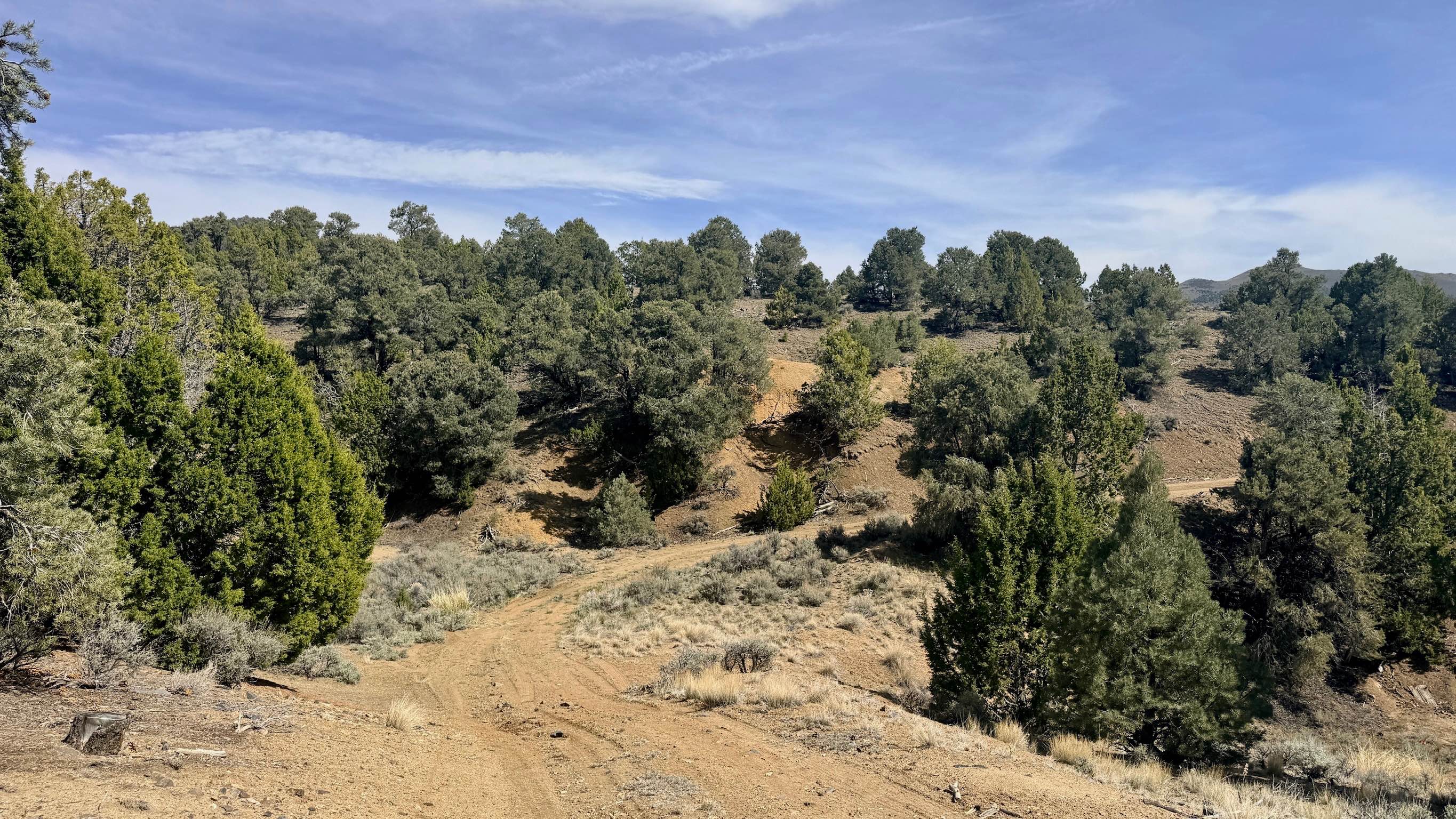
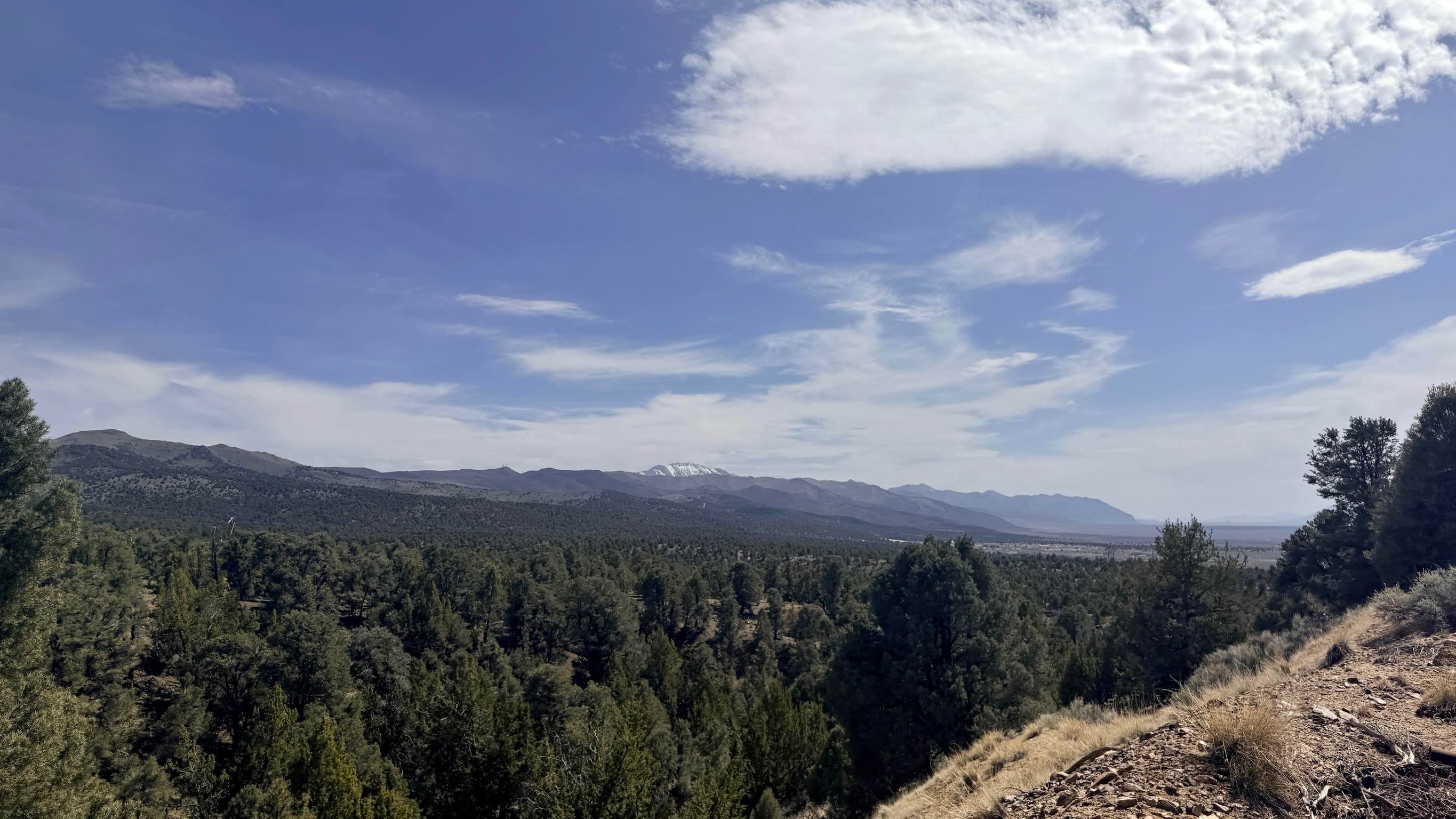
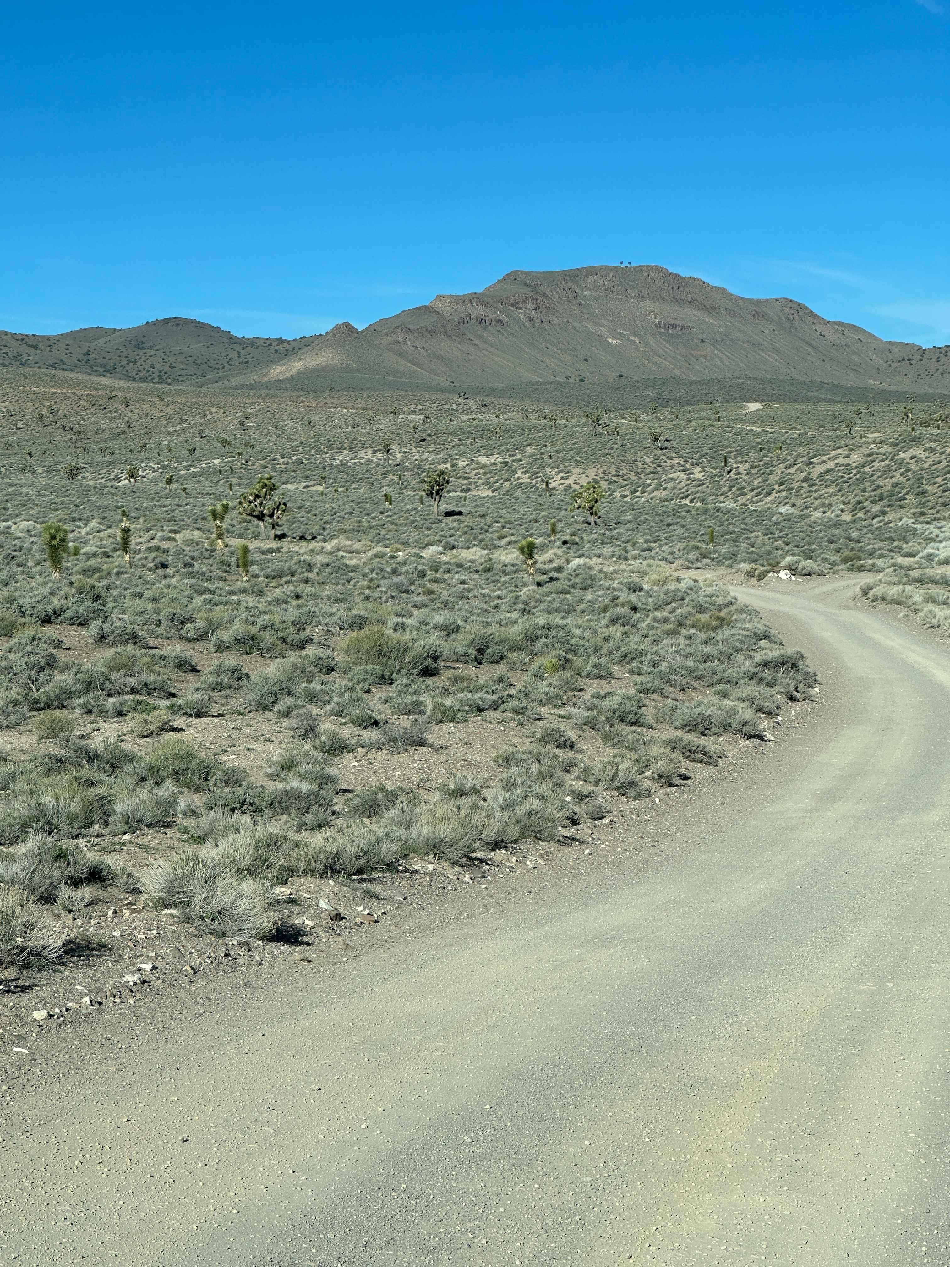
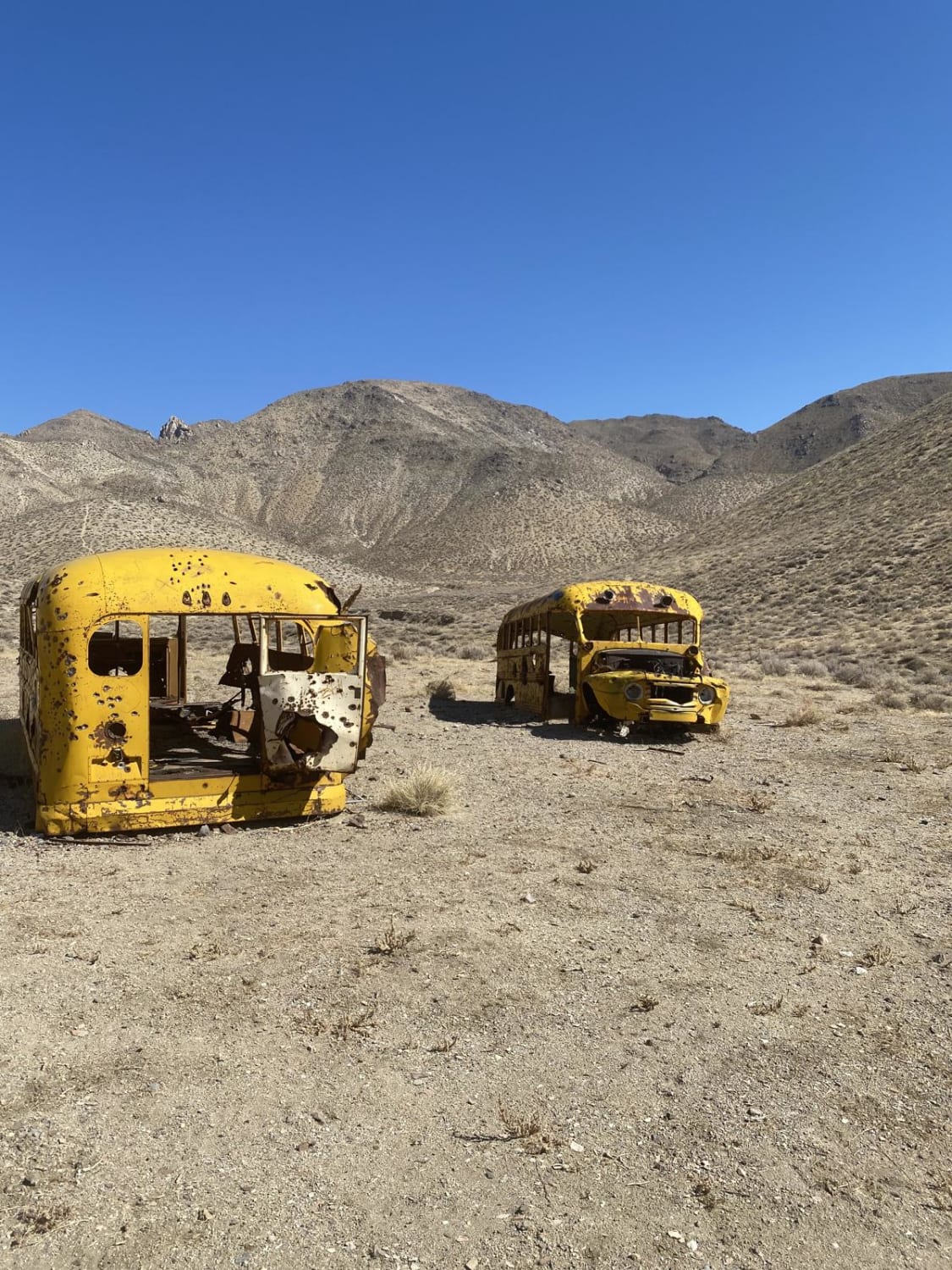
Trail Overview
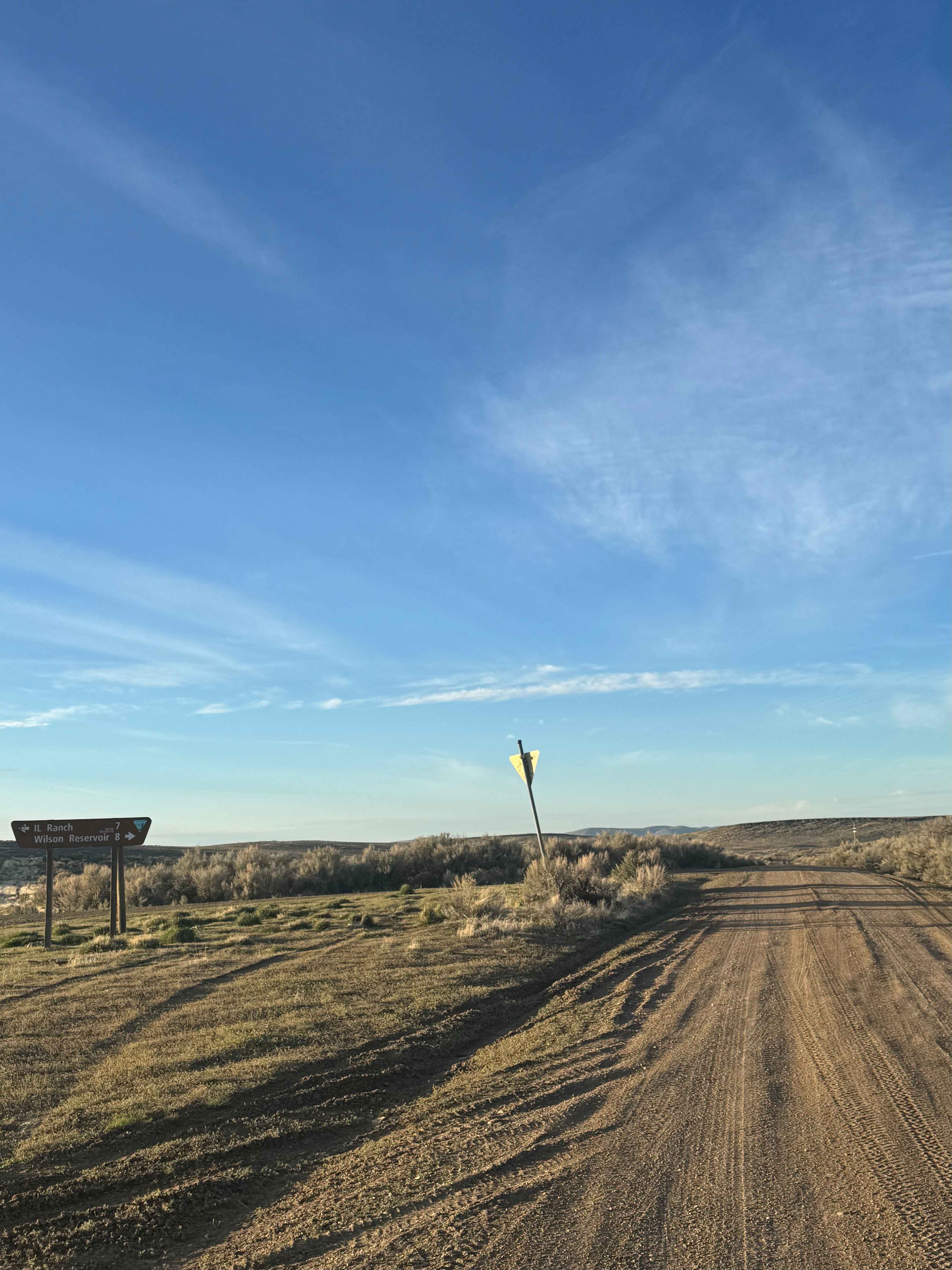
North Silver King Mine - FS 43182 is a secluded out-and-back trail that takes you deep into the heart of the historic mining landscape just north of Austin. While the route initially appears to connect through to the Old Highway trail, it ultimately terminates at a massive, towering tailings pile at the North Silver King Mine site. From the top of this impressive earthwork, you can look out and see the faint ghost of a two-track trail being slowly reclaimed by the desert as it stretches into the distance. The mine site itself is a fascinating graveyard of 19th and 20th-century industry, featuring a standing wooden structure and the rusted remains of several abandoned vintage vehicles. Surrounding these relics are the extensive tailings and footprints of a long-ago silver operation. The drive in is scenic and slightly technical, winding through a forest of Utah Juniper and Pinyon Pine. For those looking to spend a night under the stars, this trail is a gem; a primary, well-established dispersed campsite is nestled in the trees with a magnificent vantage point of the valley below. This is an excellent area for secluded camping. In addition to the main overlook spot, there are several smaller offshoot sites with existing fire rings. Surprisingly, this trail offers a few bars of usable cell service, but as always in Nevada, do not rely on it for navigation. Download offline maps before leaving the pavement. Carry at least one gallon of water per person per day, extra fuel, and a full-sized spare tire.
Photos of North Silver King Mine - FS 43182
Difficulty
Rated a 3 due to several off-camber sections, deep ruts, and narrow, tight turns through the timber. High-clearance 4x4 vehicles are recommended. Be aware that the trail ends abruptly at the mine's main tailings pile. Rigs should be prepared to turn around in the available space near the mine structures.
History
The North Silver King was part of the expansive Reese River Mining District. Following the initial 1862 silver rush, prospectors fanned out into every canyon of the Toiyabe Range. The "Silver King" name was a popular choice for claims, reflecting the high hopes of miners who sought to replicate the massive success of the Comstock Lode. The rusted vehicles and weathered wood found here are reminders of the second and third waves of mining that occurred in the mid-1900s, as technology allowed miners to rework the old tailings of their 1800s predecessors.
Status Reports
North Silver King Mine - FS 43182 can be accessed by the following ride types:
- High-Clearance 4x4
- SUV
- SxS (60")
- ATV (50")
- Dirt Bike
North Silver King Mine - FS 43182 Map
Popular Trails

Canyon Overlook
Gemfield Access Trail
Winnemucca Lake School Buses
Wilson Reservoir
The onX Offroad Difference
onX Offroad combines trail photos, descriptions, difficulty ratings, width restrictions, seasonality, and more in a user-friendly interface. Available on all devices, with offline access and full compatibility with CarPlay and Android Auto. Discover what you’re missing today!