Randen Ridge
Total Miles
6.3
Technical Rating
Best Time
Spring, Summer, Fall, Winter
Trail Type
Full-Width Road
Accessible By
Trail Overview
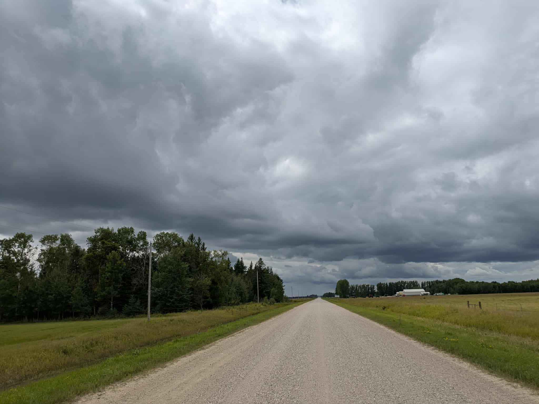
This fun trail is well-maintained and features a red sandy gravel surface that can become muddy in wet conditions and extends for a considerable distance. It is mostly level and flat, making it a straightforward drive. Along the way, it passes an old town hall, which is great for a quick stop. The road width varies, with some sections accommodating two vehicles and others narrowing to single-vehicle passage. The route winds through a mix of forest and open fields, creating a varied and scenic landscape. There are a few stretches of private property, and one point along the trail leads to the Hunter Walking Trail, which is closed to motorized use and does not always permit ATV access. A few clearings can be found along the way, but camping is not permitted. It offers no dispersed or formal campsites and lacks amenities such as trash disposal and a water supply, and cell service may be limited.
Photos of Randen Ridge


Difficulty
This forest trail is well-maintained and used daily by residents and adventurers. The route is wide and clear of debris, with established tread and minimal overgrowth, making it ideal for a smooth and scenic drive.
Status Reports
Randen Ridge can be accessed by the following ride types:
- High-Clearance 4x4
- SUV
Randen Ridge Map
Popular Trails

47th Street SW

76th Avenue Northeast / East Lake Rice Spur

500th Road South
The onX Offroad Difference
onX Offroad combines trail photos, descriptions, difficulty ratings, width restrictions, seasonality, and more in a user-friendly interface. Available on all devices, with offline access and full compatibility with CarPlay and Android Auto. Discover what you’re missing today!