FS 3851
Total Miles
1.7
Technical Rating
Best Time
Spring, Summer, Fall, Winter
Trail Type
Full-Width Road
Accessible By
Trail Overview
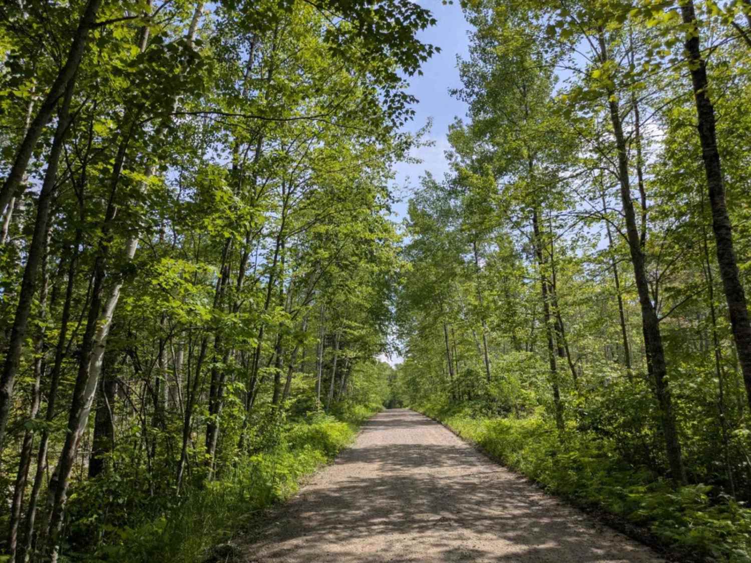
This trail begins as a well-maintained route leading toward the Spruce Administrative area, where there is noticeable infrastructure and a mix of foot and vehicle traffic. As the trail continues, it narrows slightly while passing additional facilities before ending in a cul-de-sac. While not designed for recreation, it may be of interest to those curious about the Spruce climate research project. The area is active with research operations, so visitors should be prepared for limited access. There are a few OHV trails that branch off from the main route but no formal or dispersed campsites, and no amenities such as water or trash disposal. Cell service may be unreliable in some sections.
Photos of FS 3851

Difficulty
This trail is maintained and regularly used by OHV users, so be cautious of other off-roaders and adventurers.
Status Reports
FS 3851 can be accessed by the following ride types:
- High-Clearance 4x4
- SUV
FS 3851 Map
Popular Trails

Richards Drive Northeast

Langley West Road


Powder Horn NW
The onX Offroad Difference
onX Offroad combines trail photos, descriptions, difficulty ratings, width restrictions, seasonality, and more in a user-friendly interface. Available on all devices, with offline access and full compatibility with CarPlay and Android Auto. Discover what you’re missing today!