26
Total Miles
6.1
Technical Rating
Best Time
Spring, Summer, Fall, Winter
Trail Type
Full-Width Road
Accessible By
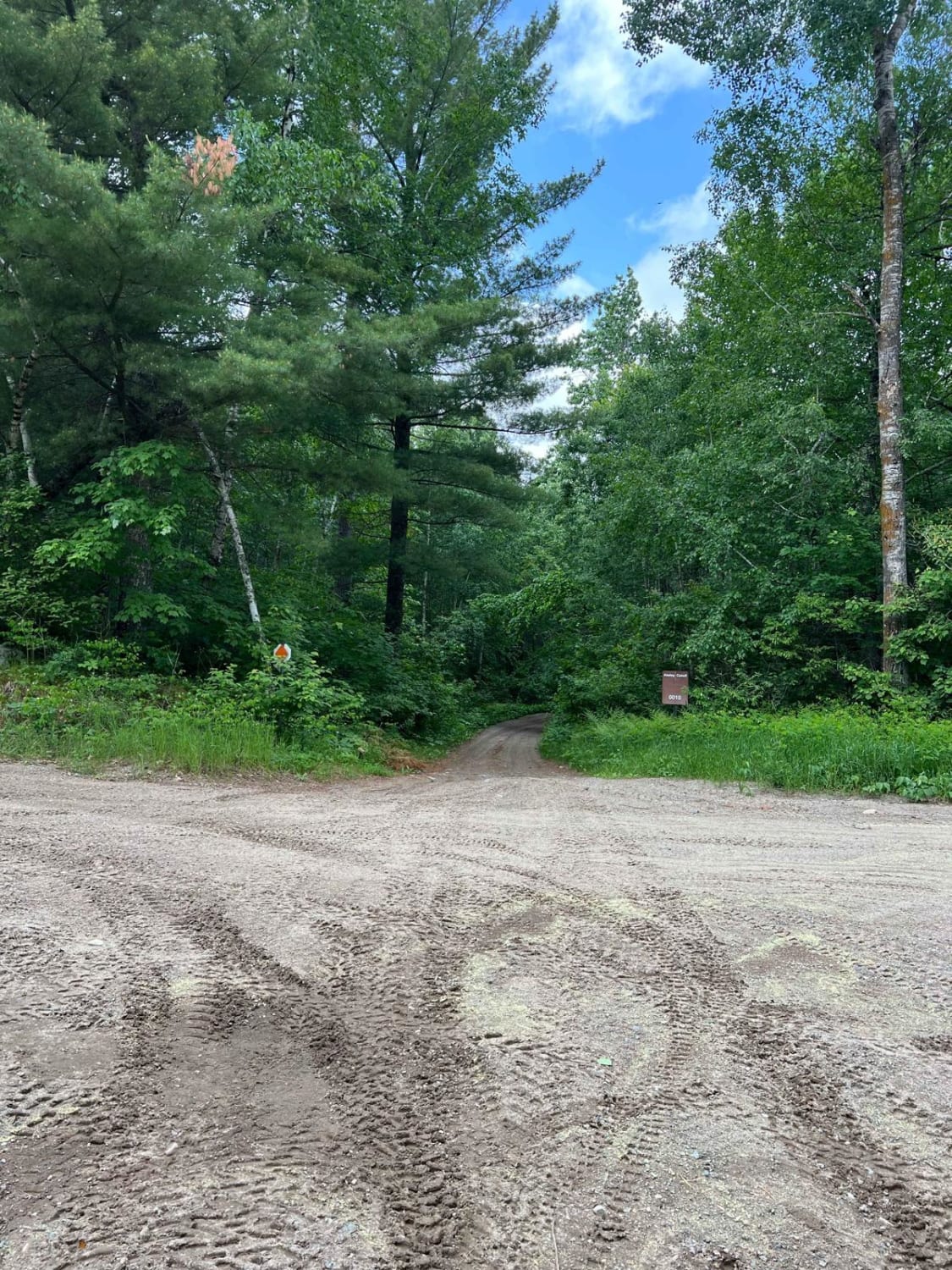
Trail Overview
This trail includes a mix of long, straight stretches and winding segments, forming part of the OHV Corridor Access Trail Route. It travels through a scenic combination of open fields and forested areas, passing several homesteads along the way. Due to regular local traffic, some portions of the trail are noticeably corrugated. No formal or dispersed campsites are available along this route, and amenities such as trash disposal and a reliable water source are not provided. Cell service may be limited depending on the area.
Photos of 26


Difficulty
This trail is well-maintained but is corrugated as it is regularly used by OHV users and other adventurers.
History
Covering more than 1.6 million acres of glacial lakes, red-pine uplands, and sphagnum bogs, Minnesota's Chippewa National Forest lets motorists experience the North Woods at an unrushed pace. Paved state highways soon yield to a lattice of numbered forest roads, most of them well-graded gravel that thread between kettle ponds and stands of towering white pine, the tree that helped earn the forest its 1908 designation as one of America's first national forests. The forest harbors one of the highest breeding densities of bald eagles in the continental United States, and patient drivers often glimpse loons, black bears, and white-tailed deer as they move from shoreline to clear-cut regrowth and back again.
Status Reports
26 can be accessed by the following ride types:
- High-Clearance 4x4
- SUV
- SxS (60")
- ATV (50")
- Dirt Bike
26 Map
Popular Trails

West Round River - Part 1

Sauna Rocks

The onX Offroad Difference
onX Offroad combines trail photos, descriptions, difficulty ratings, width restrictions, seasonality, and more in a user-friendly interface. Available on all devices, with offline access and full compatibility with CarPlay and Android Auto. Discover what you’re missing today!