Anton Road
Total Miles
3.5
Technical Rating
Best Time
Spring, Summer, Fall, Winter
Trail Type
Full-Width Road
Accessible By
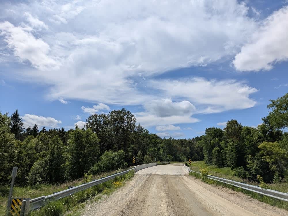
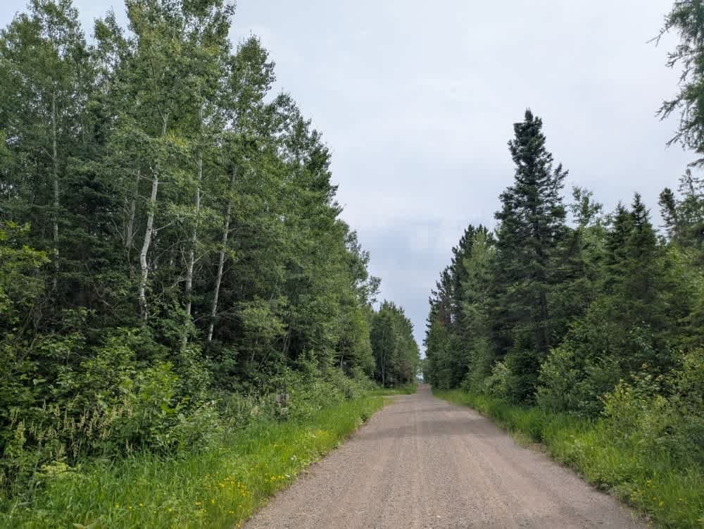
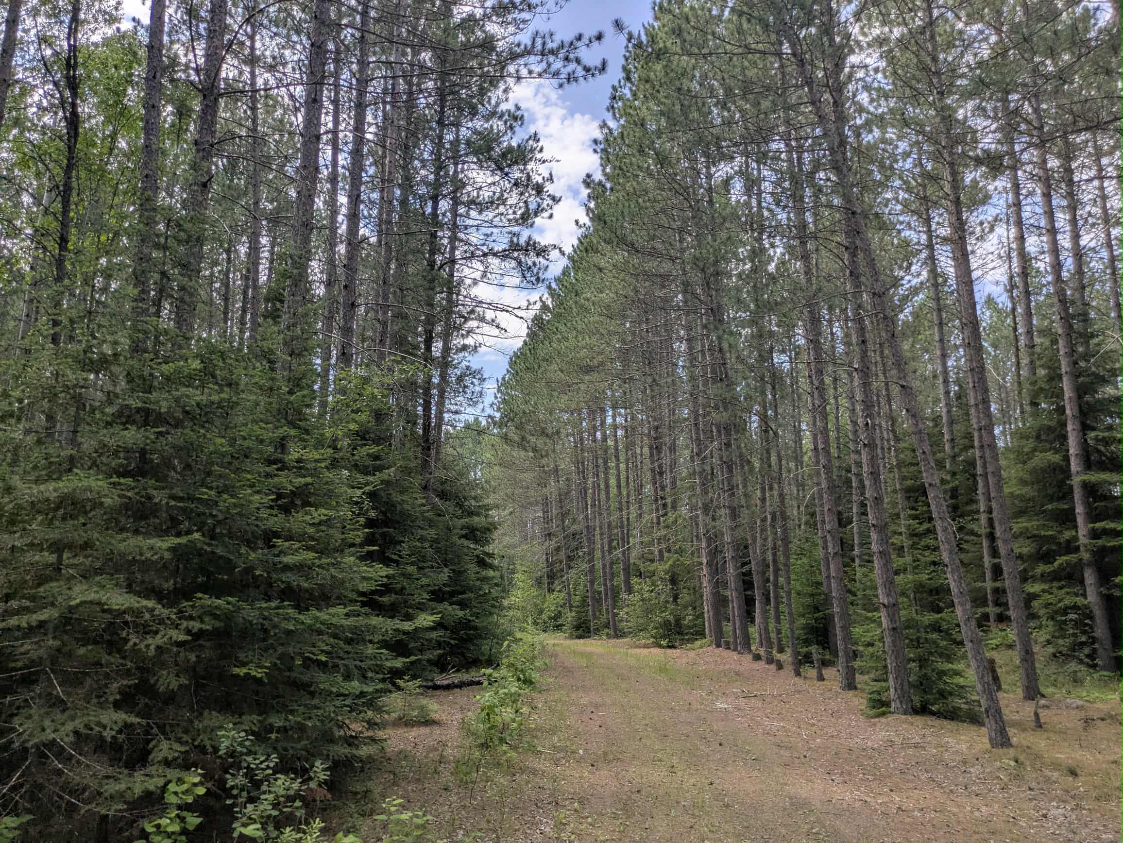
Trail Overview
This trail runs along the edge of the national forest and is primarily a long, straight stretch of well-maintained gravel. The surface is a mix of sand and gravel, and although it's generally easygoing, drivers will encounter slight ascents and descents along the way. The road connects to Highway 73, which is currently being paved as of June 2025, and serves as a quiet route that passes several rural homesteads. About midway, the trail crosses a bridge over a scenic river, and there are a few smaller side trails that branch off from the main track, though most appear to be infrequently used. Toward the end, the trail becomes more isolated and terminates near private property and industrial equipment, likely associated with local logging operations. While the maintained road ends here, an overgrown extension may extend beyond. There are no established or dispersed campsites along the route, and travelers should not expect services such as water, trash disposal, or consistent cell coverage.
Photos of Anton Road

Difficulty
This trail is maintained and regularly used by OHV users, so be cautious of other off-roaders and adventurers.
Status Reports
Anton Road can be accessed by the following ride types:
- High-Clearance 4x4
- SUV
Anton Road Map
Popular Trails

Mesabi Mountain ORV trail

Forest Service Road 1472
The onX Offroad Difference
onX Offroad combines trail photos, descriptions, difficulty ratings, width restrictions, seasonality, and more in a user-friendly interface. Available on all devices, with offline access and full compatibility with CarPlay and Android Auto. Discover what you’re missing today!