Twin Lakes Road
Total Miles
9.9
Technical Rating
Best Time
Spring, Fall, Summer, Winter
Trail Type
Full-Width Road
Accessible By
Trail Overview
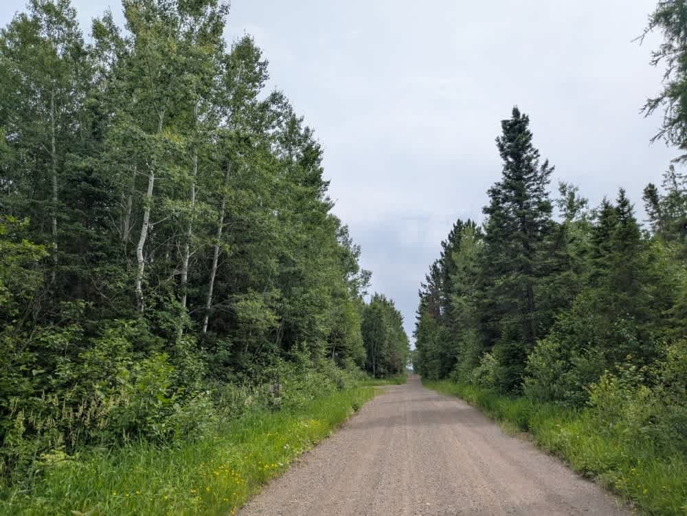
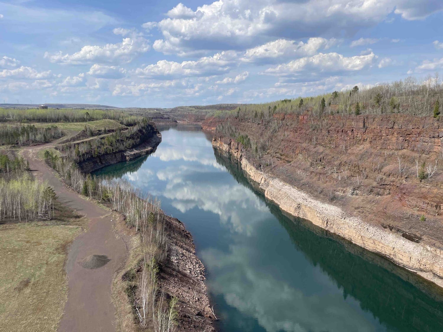
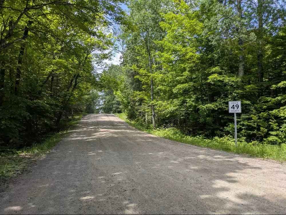
Twin Lakes Trail, also known as Lima Mountain Road 152, is accessed from the paved Gunflint Road. ATVs are not permitted on the first segment of this route. The trail is a well-maintained gravel road, wide enough for two vehicles to pass comfortably, though it does have noticeable corrugations and occasional potholes. Winding through the Superior National Forest, the route passes several scenic lakes and crosses a bridge before arriving at Twin Lakes. At the lake, there is public water access and a small campground that includes one open-air campsite and several more tucked into the forest, all offering basic facilities. The trail continues through a wooded landscape, with numerous side trails branching off along the way. Drivers should be aware of possible fallen trees and local traffic, particularly in more remote sections. While the route is scenic and provides access to recreational areas, it does not include amenities such as trash disposal or potable water. Cell phone coverage may be limited throughout.
Photos of Twin Lakes Road


Difficulty
This forest trail is well-maintained and used daily by residents and adventurers. The route is wide and clear of debris, with established tread and minimal overgrowth--ideal for a smooth and scenic drive. The first portion of the trail can only be accessed by Highway Legal Vehicles, but after 2.3 miles, all legal vehicles are permitted.
History
The "Twin Lakes" in Superior National Forest refers to a specific area within the forest known as the Twin Lakes Canoe Route. This area features six lakes linked by four portages, making it a popular destination for canoeing and backcountry camping. It's also a good introductory trip for those planning to explore the Boundary Waters Canoe Area Wilderness (BWCAW).
Status Reports
Twin Lakes Road can be accessed by the following ride types:
- High-Clearance 4x4
- SUV
Twin Lakes Road Map
Popular Trails

Forest Service Road 467
The onX Offroad Difference
onX Offroad combines trail photos, descriptions, difficulty ratings, width restrictions, seasonality, and more in a user-friendly interface. Available on all devices, with offline access and full compatibility with CarPlay and Android Auto. Discover what you’re missing today!