139
Total Miles
6.3
Technical Rating
Best Time
Spring, Summer, Fall, Winter
Trail Type
Full-Width Road
Accessible By
Trail Overview
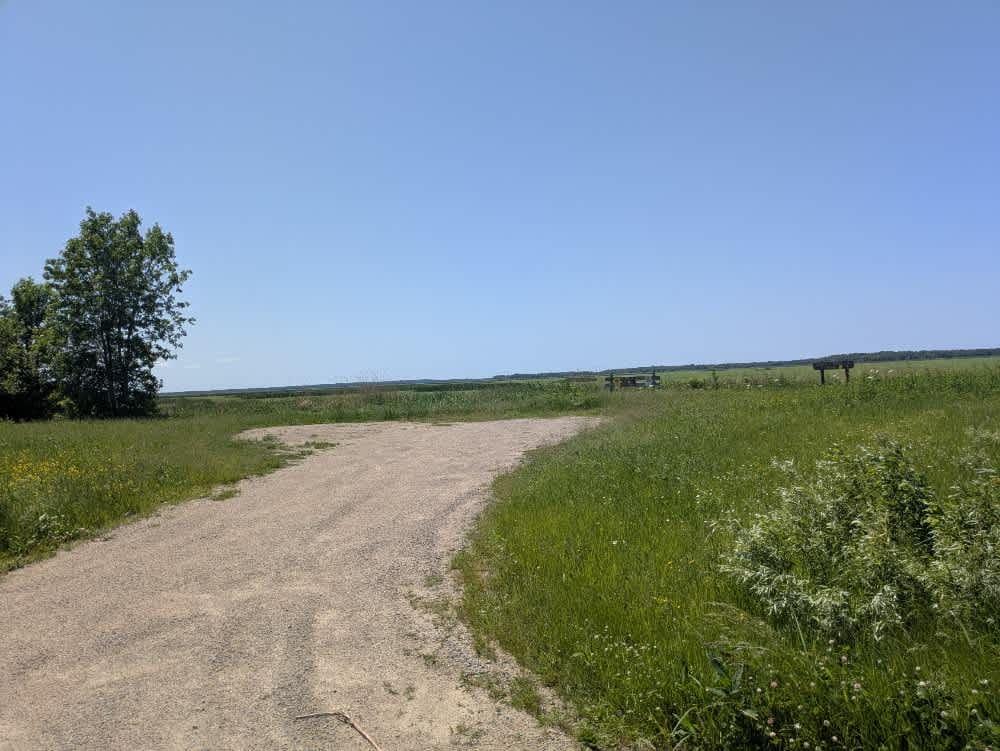
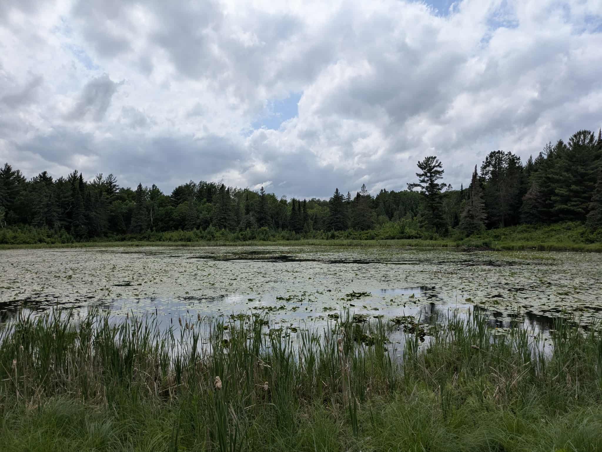
This trail stands out in the region for both its natural beauty and its geographical importance, as it marks the point where the Leech Lake River flows into the Mississippi River. The trail is composed of three distinct sections, each offering a different experience. The first section is a wide, well-maintained gravel road that passes between the river and a series of carefully tended homesteads and open fields. This stretch has very few trees and offers an open, expansive feel. The second section begins as the trail enters the Mud Lake Wildlife Management Area, where it narrows slightly but remains in good condition. This area provides access to the river, including a bridge often used by anglers. Visitors here can enjoy views of Mud Lake, where ducks are frequently seen and wild rice can be harvested in season. The final portion of the trail leaves the lake behind and continues as a straight, well-maintained road running through a mix of forest, farmland, and rural residences. The Mud Goose WMA, located nearby, permits low-horsepower motorized watercraft outside of the waterfowl hunting season. This area consists of shallow lakes, wet meadows, and forest, and is managed to support both wildlife and wild rice habitat. While the trail offers much in terms of scenery and wildlife, it does not include any formal or dispersed camping areas and lacks basic amenities such as trash disposal and drinking water. Cell phone reception may also be limited along portions of the route.
Photos of 139

Difficulty
This trail is well-maintained and regularly used by OHV users, so be cautious of other off-roaders and adventurers.
History
Covering more than 1.6 million acres of glacial lakes, red-pine uplands, and sphagnum bogs, Minnesota's Chippewa National Forest lets motorists experience the North Woods at an unrushed pace. Paved state highways soon yield to a lattice of numbered forest roads, most of them well-graded gravel that thread between kettle ponds and stands of towering white pine, the tree that helped earn the forest its 1908 designation as one of America's first national forests. The forest harbors one of the highest breeding densities of bald eagles in the continental United States, and patient drivers often glimpse loons, black bears, and white-tailed deer as they move from shoreline to clear-cut regrowth and back again.
Status Reports
139 can be accessed by the following ride types:
- High-Clearance 4x4
- SUV
- SxS (60")
- ATV (50")
- Dirt Bike
139 Map
Popular Trails

Thorpe Tower Road 5.4

Norway Point

Saubtine Road Northwest
The onX Offroad Difference
onX Offroad combines trail photos, descriptions, difficulty ratings, width restrictions, seasonality, and more in a user-friendly interface. Available on all devices, with offline access and full compatibility with CarPlay and Android Auto. Discover what you’re missing today!