Kettle River to Lawler Loop Trails
Total Miles
9.3
Technical Rating
Best Time
Spring, Summer, Fall
Trail Type
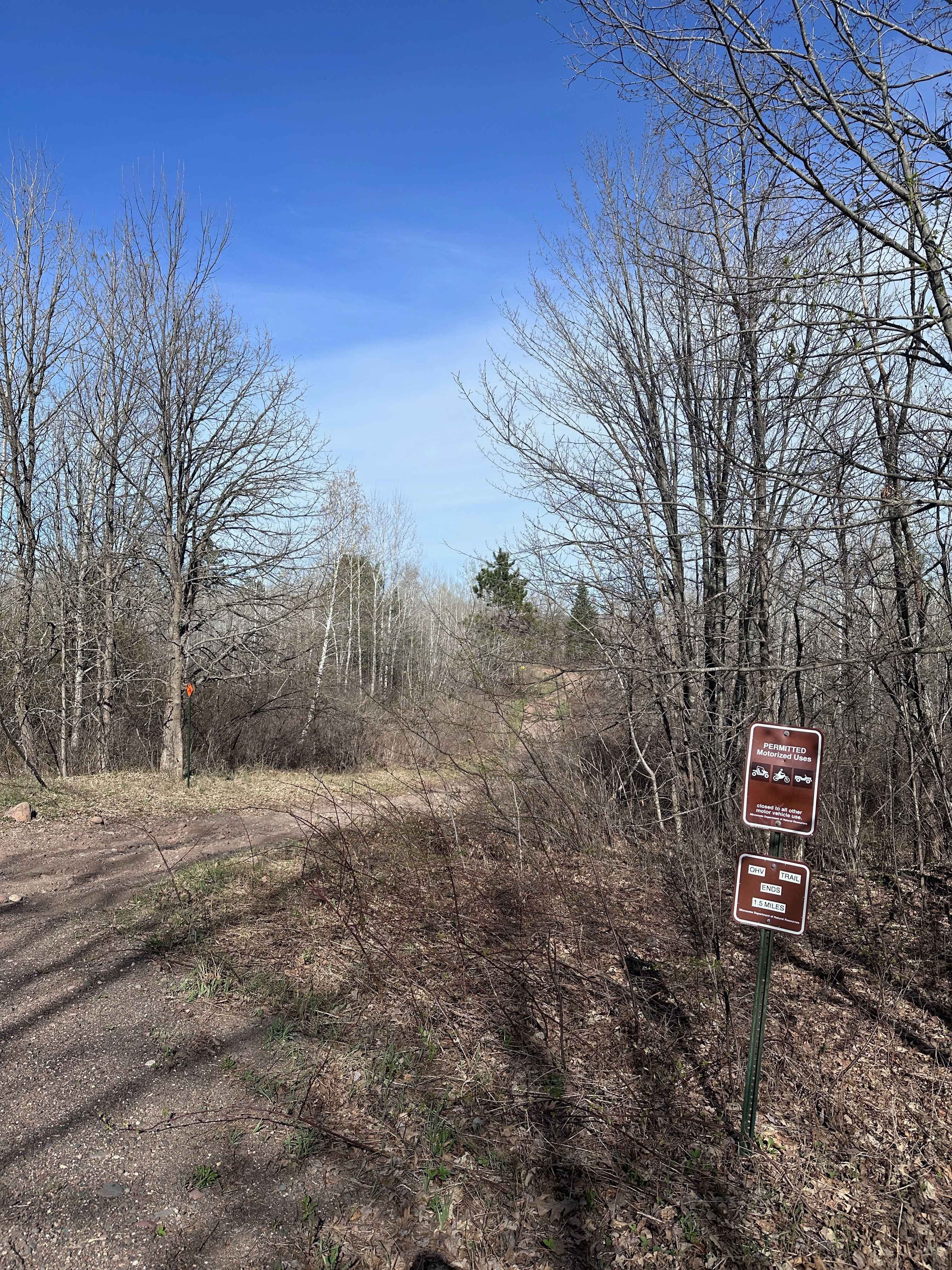
60" Trail
Accessible By
Trail Overview
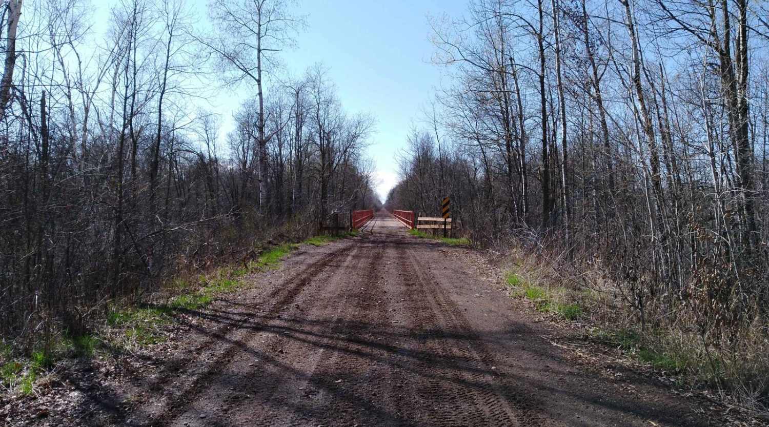
Kettle River to Lawler Loop Trails on the Soo Line North is a section of converted rail grade that is 9.6 miles long and takes about 25 minutes with an average speed of 23.3 MPH. This converted rail grade is raised enough that it sheds water very well. Even after rain for several days, the water on the trail is minimal. It's a great trail to run if you are in the area for a wet or springtime ride.
Photos of Kettle River to Lawler Loop Trails
Difficulty
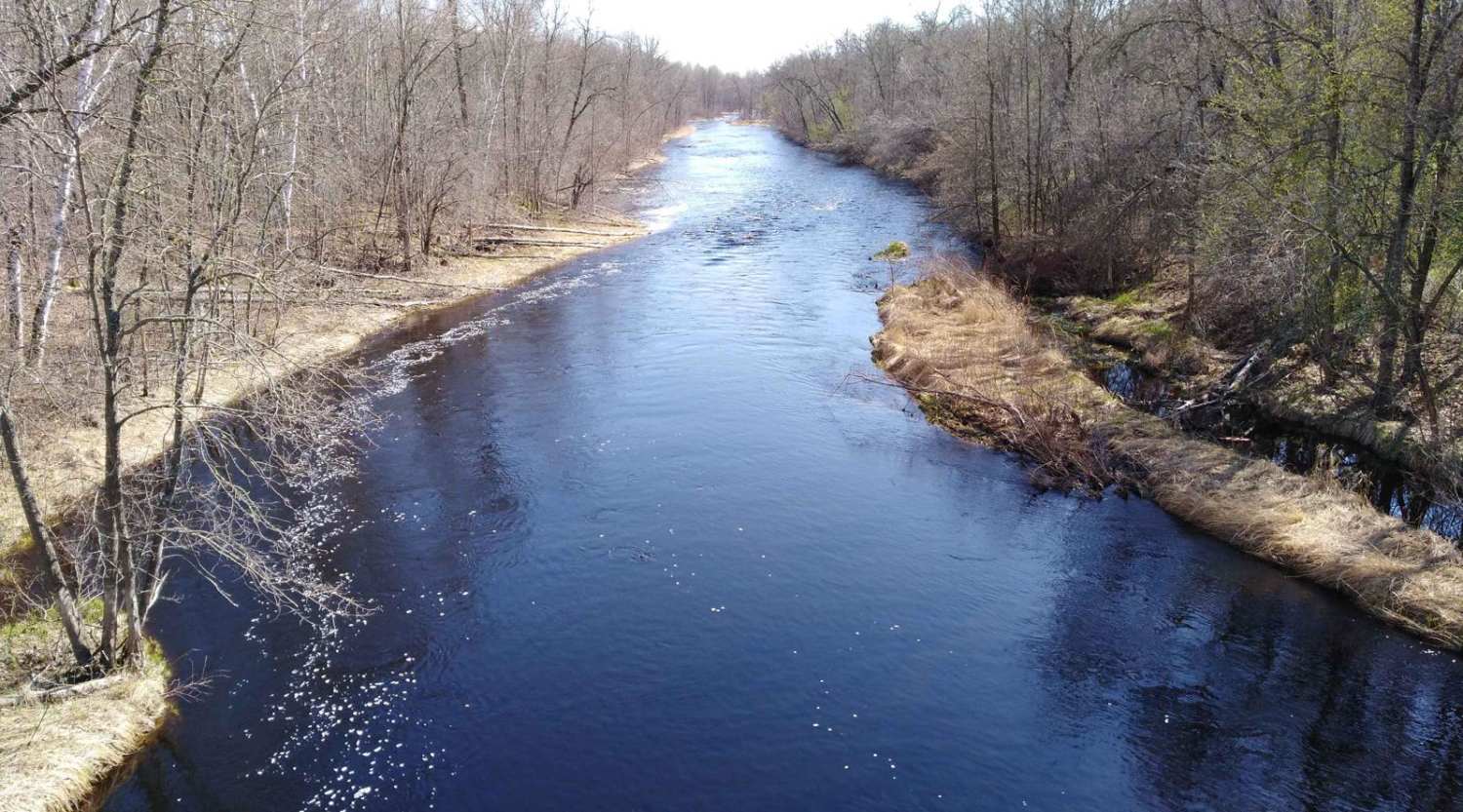
The section is easy and flat converted rail grade. There's no need for 4x4 or even to lock the rear differential. After several days of rain in the area, this section of trail remains solid and doesn't have any large areas of deep water to cross. The surface is packed gravel without large rocks. Some of the areas have larger stones in the gravel but do not pose an issue. Do pay attention to the edge of the trail, as it can have steep banks since it is converted rail grade. Bridge crossings are well marked and are the only areas you need to use extra care and slow down.
Status Reports
Kettle River to Lawler Loop Trails can be accessed by the following ride types:
- SxS (60")
- ATV (50")
- Dirt Bike
Kettle River to Lawler Loop Trails Map
Popular Trails
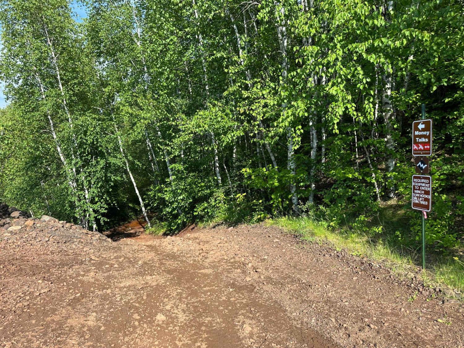
Lower Money Talks

Eager Beaver Loop
Central Huntersville Cut Through
Trout Brook Trail
The onX Offroad Difference
onX Offroad combines trail photos, descriptions, difficulty ratings, width restrictions, seasonality, and more in a user-friendly interface. Available on all devices, with offline access and full compatibility with CarPlay and Android Auto. Discover what you’re missing today!