Willow River
Total Miles
1.0
Technical Rating
Best Time
Spring, Fall, Winter, Summer
Trail Type
Full-Width Road
Accessible By
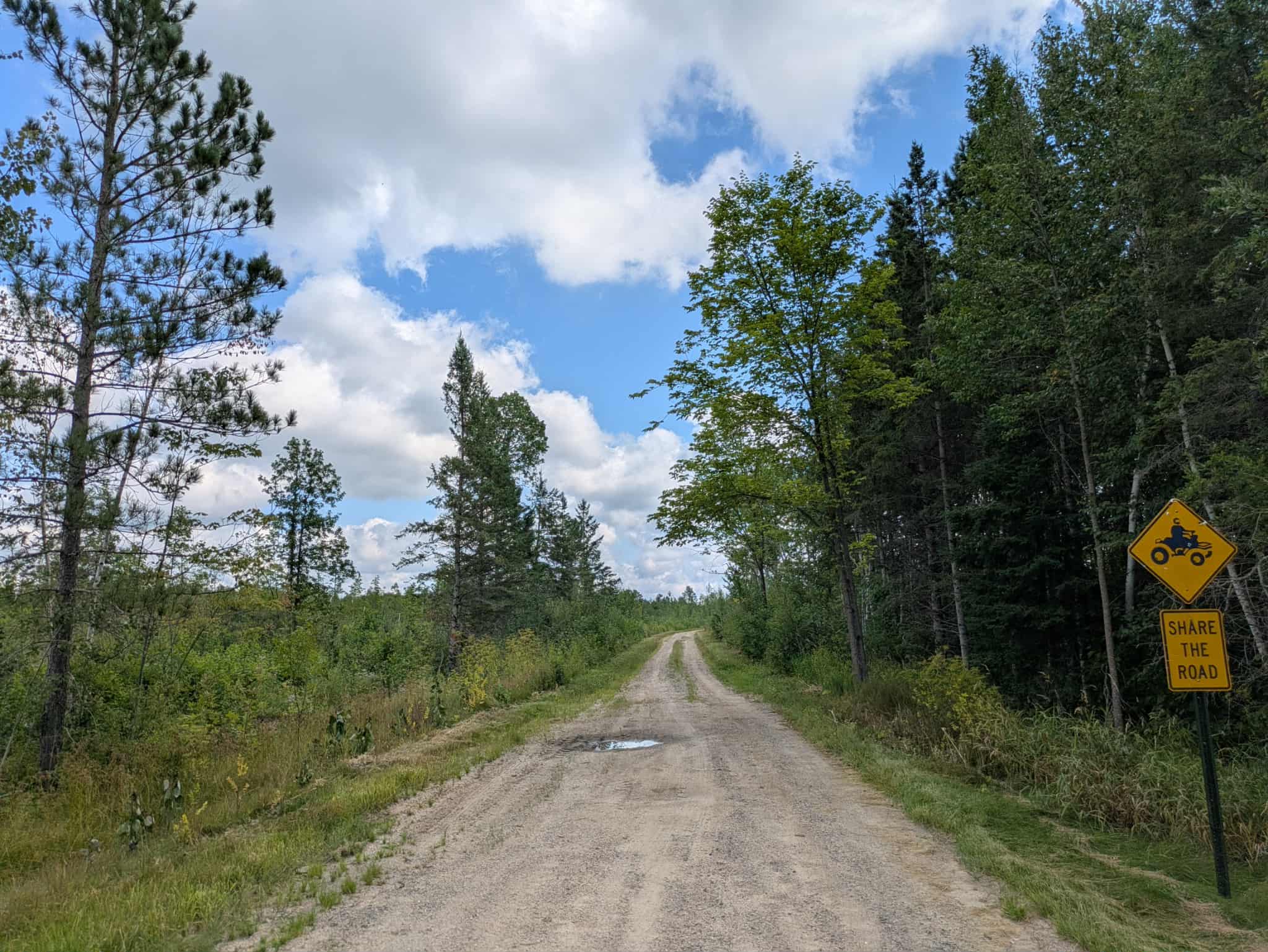
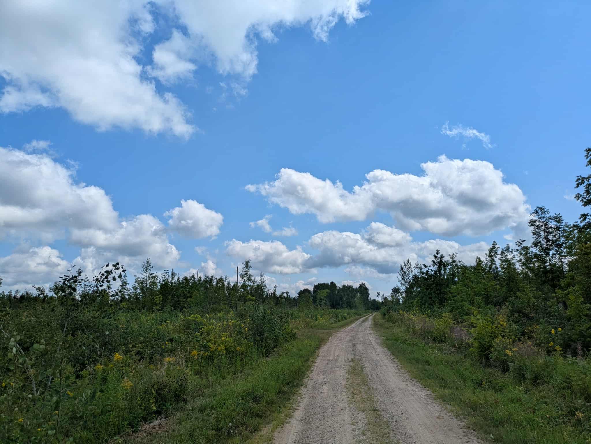
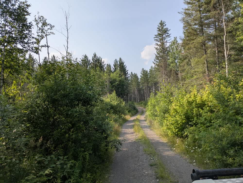
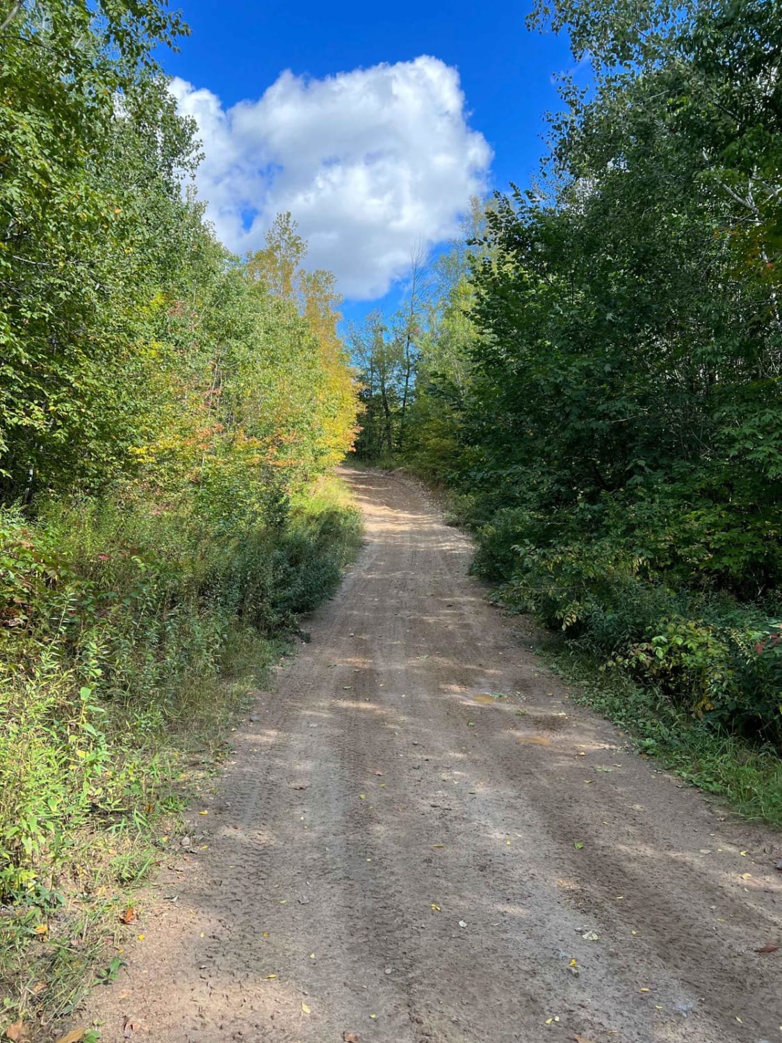
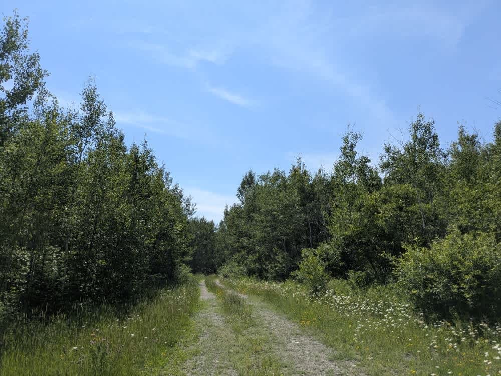
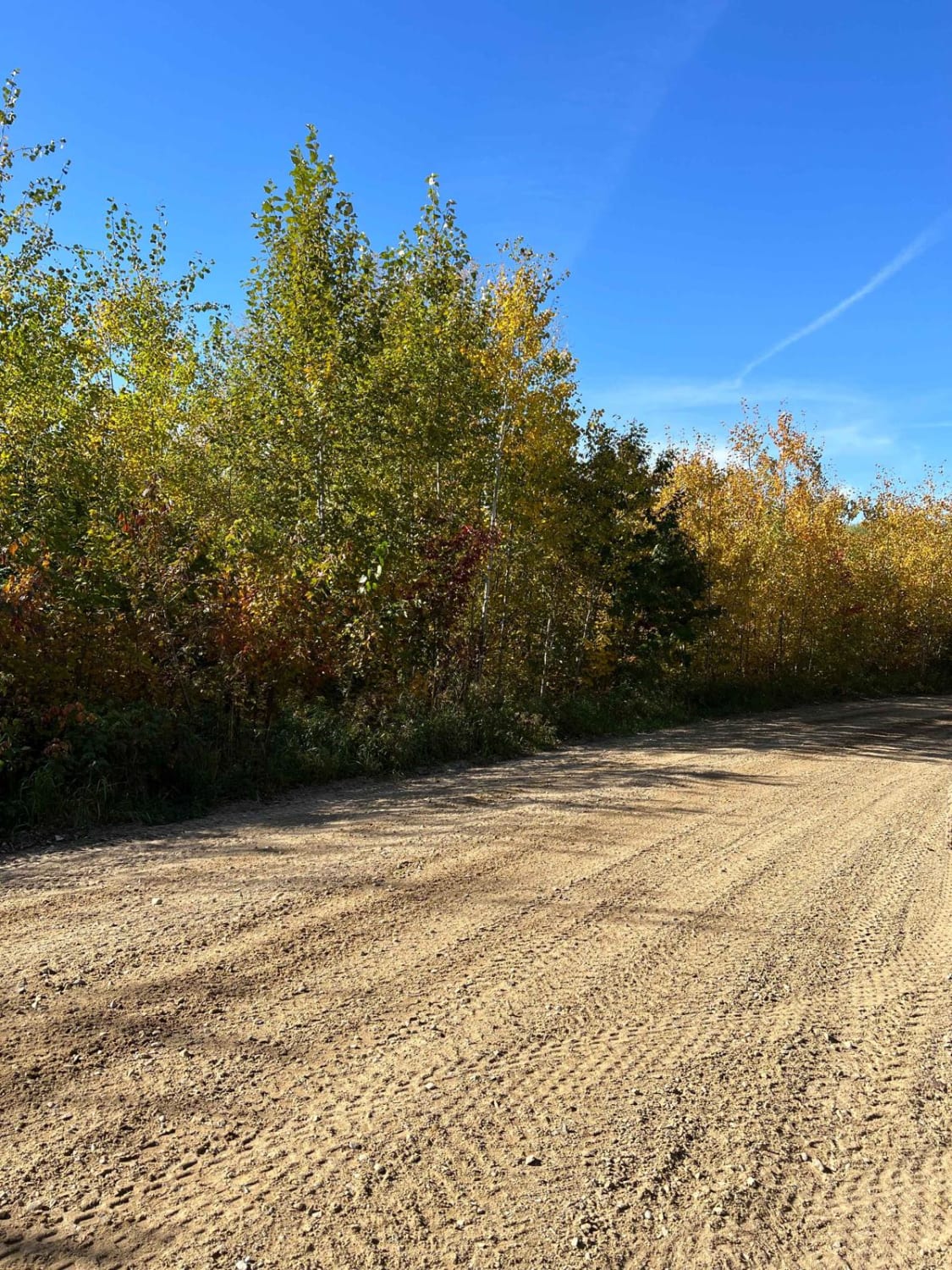
Trail Overview
This trail begins as a narrow two-track made up of gravel and sand, with some sections holding water depending on recent conditions. It winds through forested terrain, featuring a mix of ascents and descents, providing a steady yet manageable drive. Evidence of past logging activity is visible along portions of the trail, adding to the sense that this is a working forest area rather than a purely recreational one. The trail crosses a river by way of a small bridge before continuing deeper into the woods. It eventually ends at a turnaround clearing, which appears to be used by hunters, as a game pole is set up in a nearby tree. The clearing provides enough space to maneuver a vehicle, but it is not designed for camping or long-term use. The trail does not offer formal campsites, and amenities such as trash disposal and potable water are not available. Cell service may be unreliable or entirely absent in this area. Overall, the trail serves as a quiet forest track with limited branching routes, ending at a simple clearing used primarily for hunting access.
Photos of Willow River
Difficulty
This trail sees regular use by other adventurers, but can be overgrown in some areas.
Status Reports
Willow River can be accessed by the following ride types:
- High-Clearance 4x4
- SUV
- SxS (60")
- ATV (50")
- Dirt Bike
Willow River Map
Popular Trails
Old Silver Island Lake
Narrow Foot Hills Highway
Mooseline Spur E
Paul Bunyan Round River Dr
The onX Offroad Difference
onX Offroad combines trail photos, descriptions, difficulty ratings, width restrictions, seasonality, and more in a user-friendly interface. Available on all devices, with offline access and full compatibility with CarPlay and Android Auto. Discover what you’re missing today!