The Last Straw
Total Miles
0.3
Technical Rating
Best Time
Spring, Summer, Fall
Trail Type
Full-Width Road
Accessible By
Trail Overview
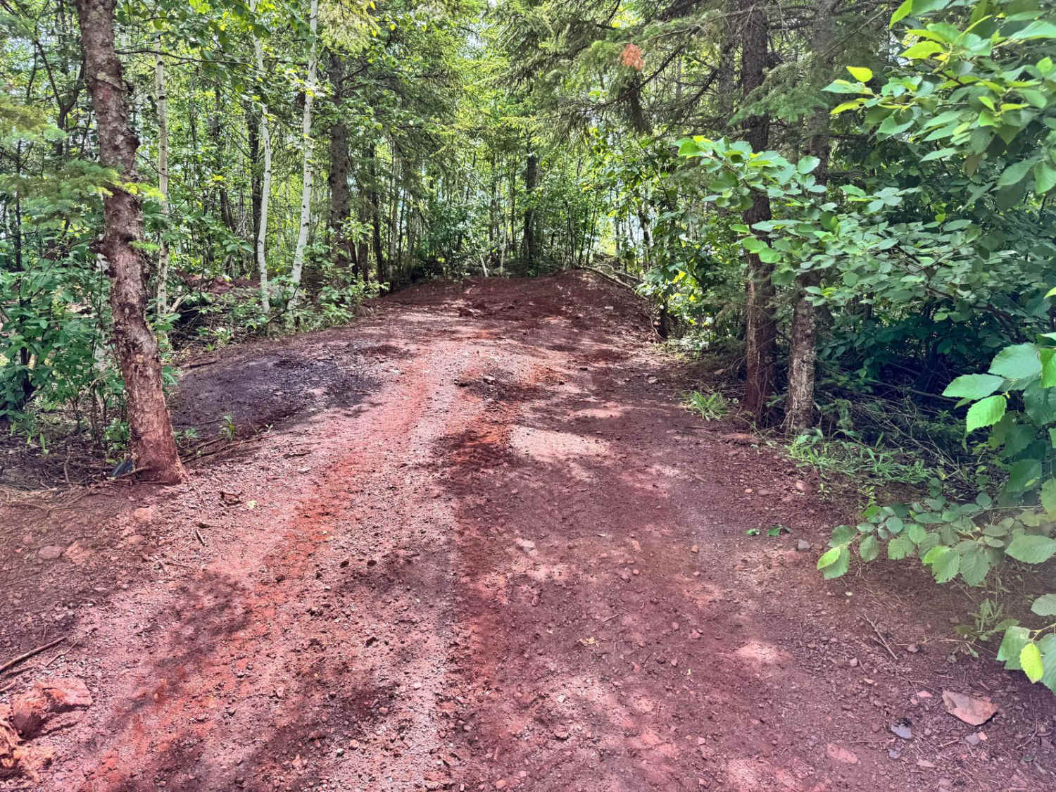
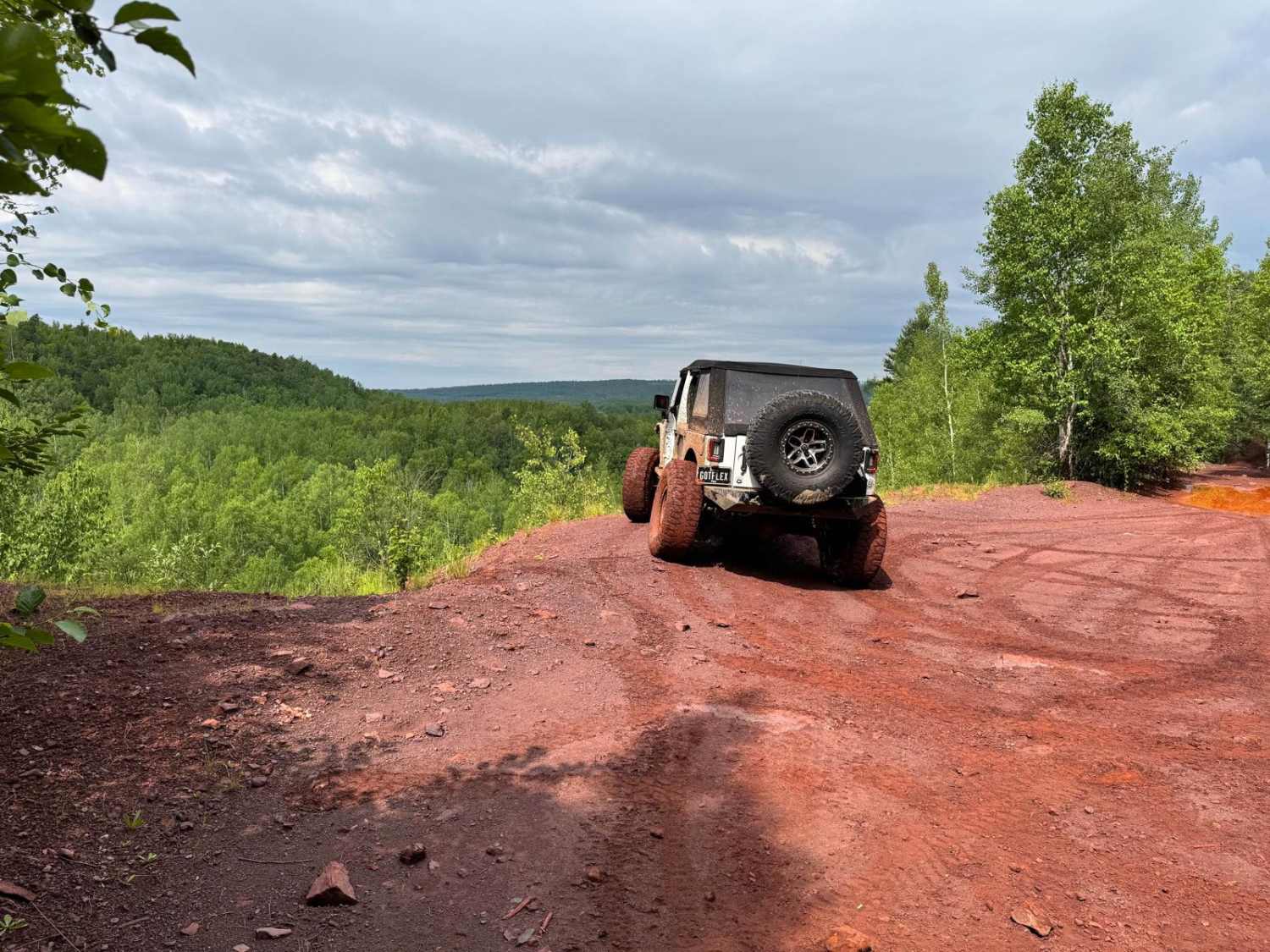
This trail is mostly easy with no major obstacles unless you choose to take the tight loop section at the top. At the top, there's a scenic overlook and a wide enough spot to turn around if you don't want to continue. The loop section includes rocks up to 1 foot tall, tight turns, and a few off-camber areas that can tilt you toward nearby trees. Overgrowth is present along parts of the trail, so pinstriping is possible, especially for wider vehicles. The trail overall is manageable for most rigs but requires attention to line choice if you complete the loop.
Photos of The Last Straw
Difficulty
The main trail is straightforward and manageable for most 4WD vehicles. After rainfall, expect mud holes along the way, though they generally have a solid bottom. The optional loop at the top increases difficulty with 1-foot rock obstacles, sharp turns, and off-camber areas near trees. Light pinstriping is possible due to overgrowth.
History
The Iron Range OHV Recreation Area was built on reclaimed mining land, once part of the rich Mesabi Iron Range that fueled U.S. steel production for over a century. Today, this 1,200+ acre site blends industrial history with outdoor adventure, offering a rare chance to ride through the remnants of Minnesota's mining legacy.
Status Reports
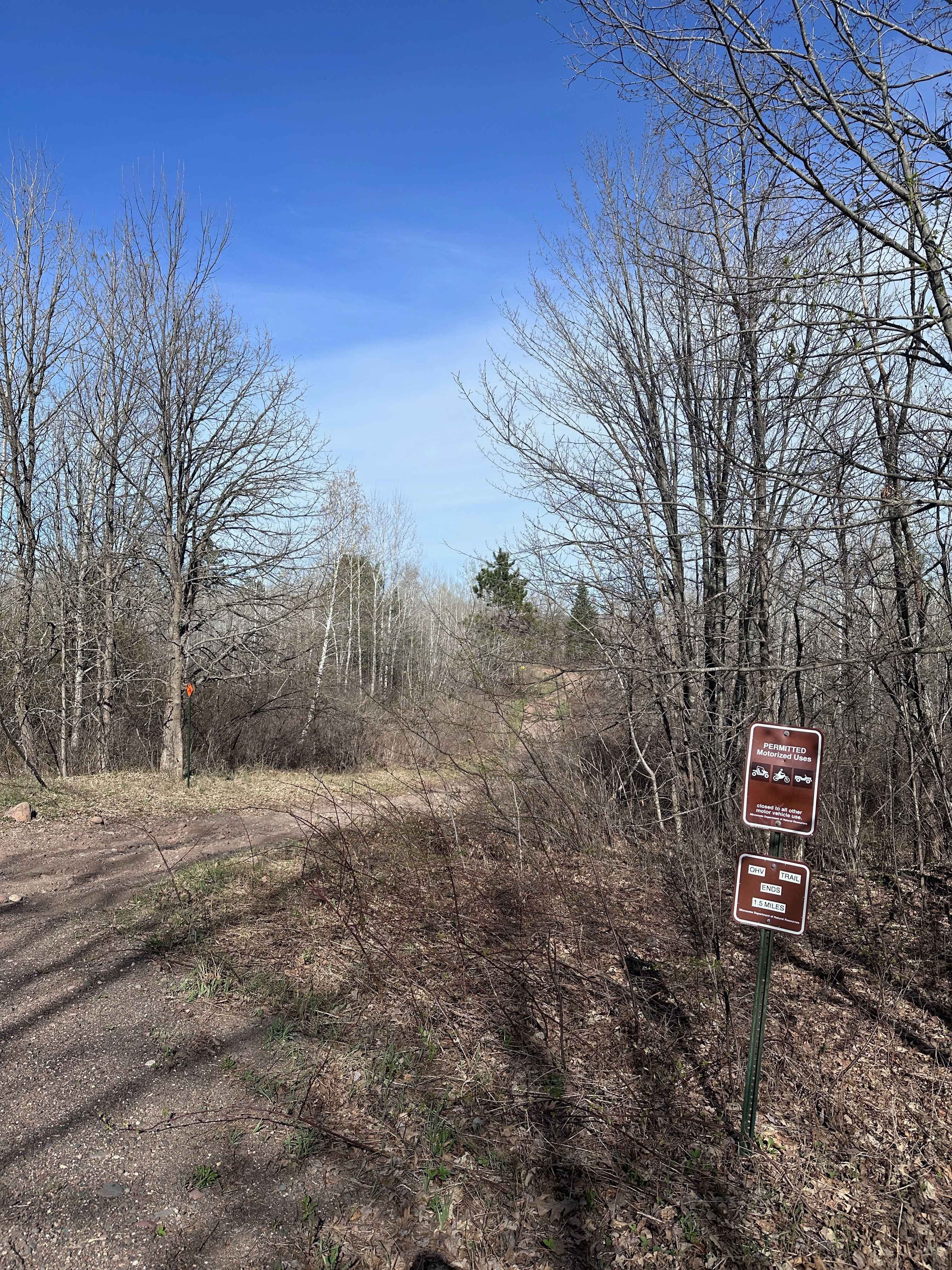
The Last Straw can be accessed by the following ride types:
- High-Clearance 4x4
- SUV
- SxS (60")
- ATV (50")
- Dirt Bike
The Last Straw Map
Popular Trails


Dmir Grade
Trout Brook Trail
Mary Yellowhead Trail
The onX Offroad Difference
onX Offroad combines trail photos, descriptions, difficulty ratings, width restrictions, seasonality, and more in a user-friendly interface. Available on all devices, with offline access and full compatibility with CarPlay and Android Auto. Discover what you’re missing today!