Dunka River
Total Miles
14.0
Technical Rating
Best Time
Spring, Summer, Fall
Trail Type
Full-Width Road
Accessible By
Trail Overview
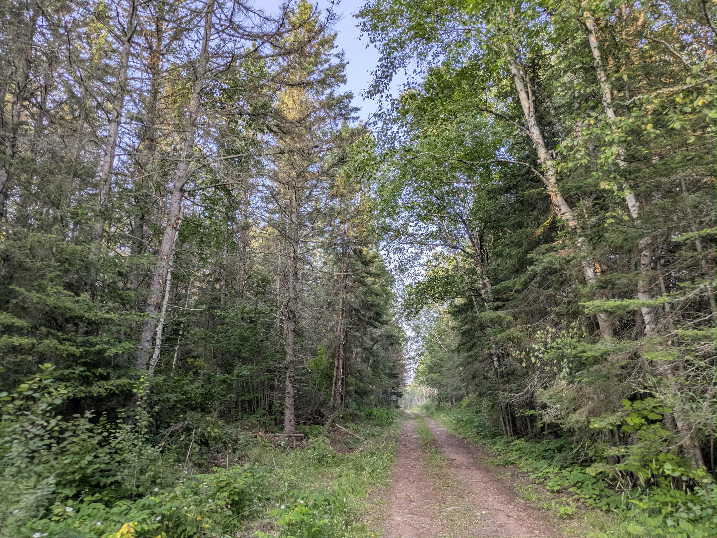
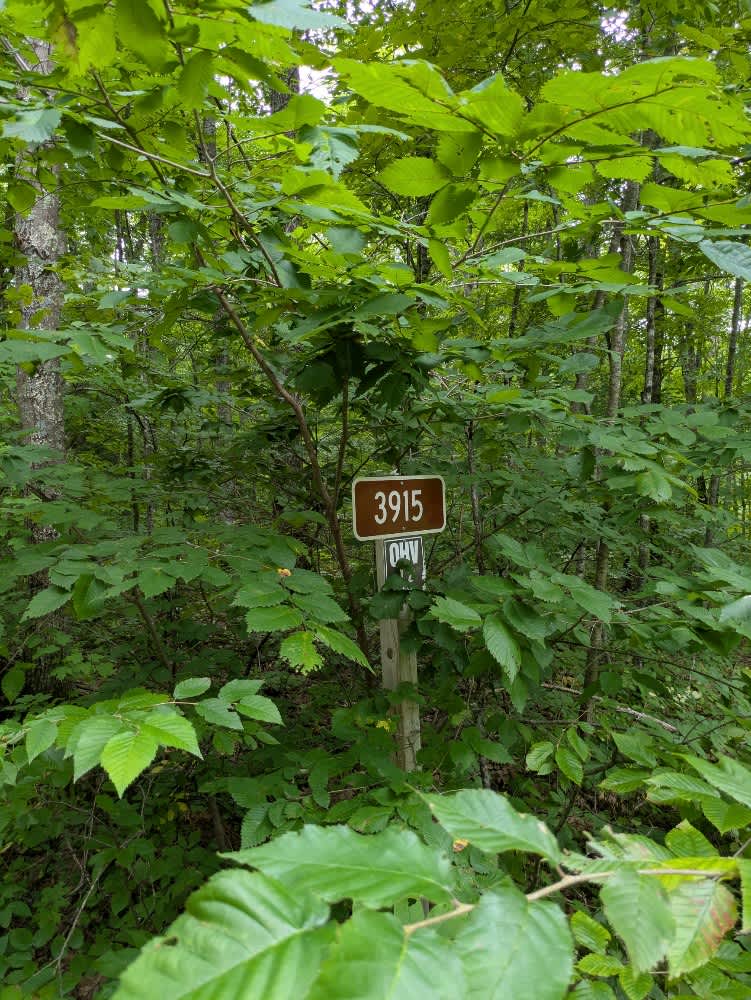
This scenic trail begins in the north, near a non-motorized route marked by large yellow barriers. Shortly after the start, the trail passes a wide, wet area that appears to be used recreationally by off-road vehicles. The main trail itself is broad and well-maintained, offering a pleasant drive through forested surroundings. Along the way, several other trails branch off, including Trail 423 and Hatchet Trail, the latter known for offering a more challenging off-road experience. While the route is generally quiet, fast-moving local traffic has been noted, so caution is advised. The trail offers a mix of open terrain and wooded sections, making it visually appealing for those looking for a forest drive with a few optional side explorations. After the junction with Trail 113, the Dunka Trail narrows considerably and becomes more rugged, with sections of uneven ground, rocks, and moderate elevation changes. Water collects in low spots, creating muddy areas that may be challenging depending on recent weather. Although primarily used by ATV and side-by-side riders, the trail is also accessed by local residents, so watch for oncoming traffic. The trail eventually reaches a small rest area equipped with a shelter, fire ring, picnic benches, information board, and toilet. Beyond this point, a gate marks the continuation of the ATV trail. There are no designated campsites along the route, and no services such as water or trash disposal. Cell service may be limited.
Photos of Dunka River


Difficulty
The trail is maintained but can develop light overgrowth between trims, especially in the winter months. Commonly used by local OHV traffic, the path remains visible and passable, though branches and low brush may occasionally encroach.
History
The Jackpot OHV Trail is a scenic and challenging off-highway vehicle (OHV) trail system located in northeastern Minnesota, primarily within the Superior National Forest near the town of Babbitt. It is part of the larger Stony Spur II and Jackpot Loop, offering approximately 60 miles of interconnected trails. These trails are maintained by the City of Babbitt and the Babbitt ATV/Snowmobile Club.
Status Reports
Dunka River can be accessed by the following ride types:
- High-Clearance 4x4
- SUV
- SxS (60")
- ATV (50")
- Dirt Bike
Dunka River Map
Popular Trails

Dark Lake Road

The onX Offroad Difference
onX Offroad combines trail photos, descriptions, difficulty ratings, width restrictions, seasonality, and more in a user-friendly interface. Available on all devices, with offline access and full compatibility with CarPlay and Android Auto. Discover what you’re missing today!