Off-Road Trails in Florida
Discover off-road trails in Florida
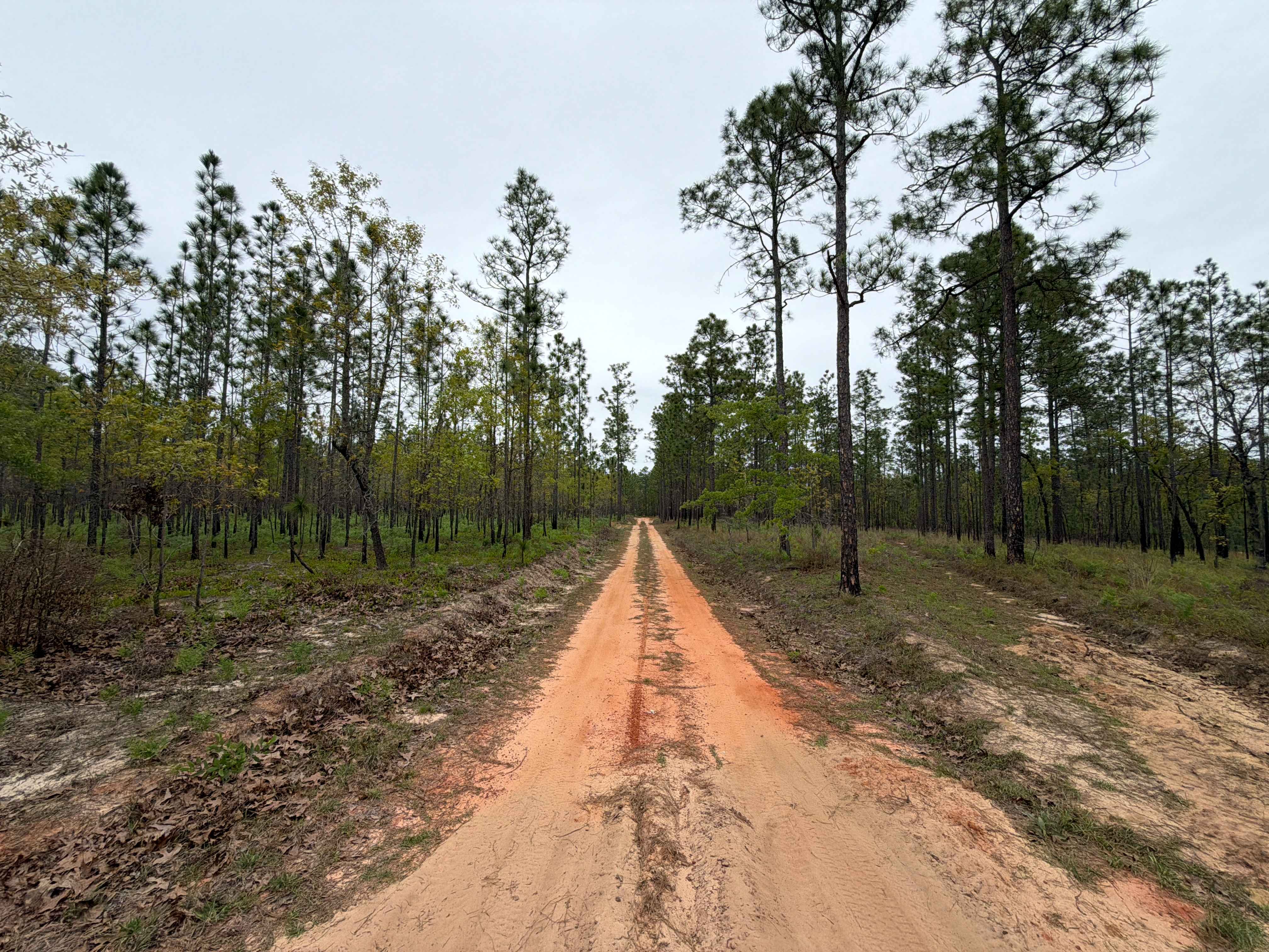
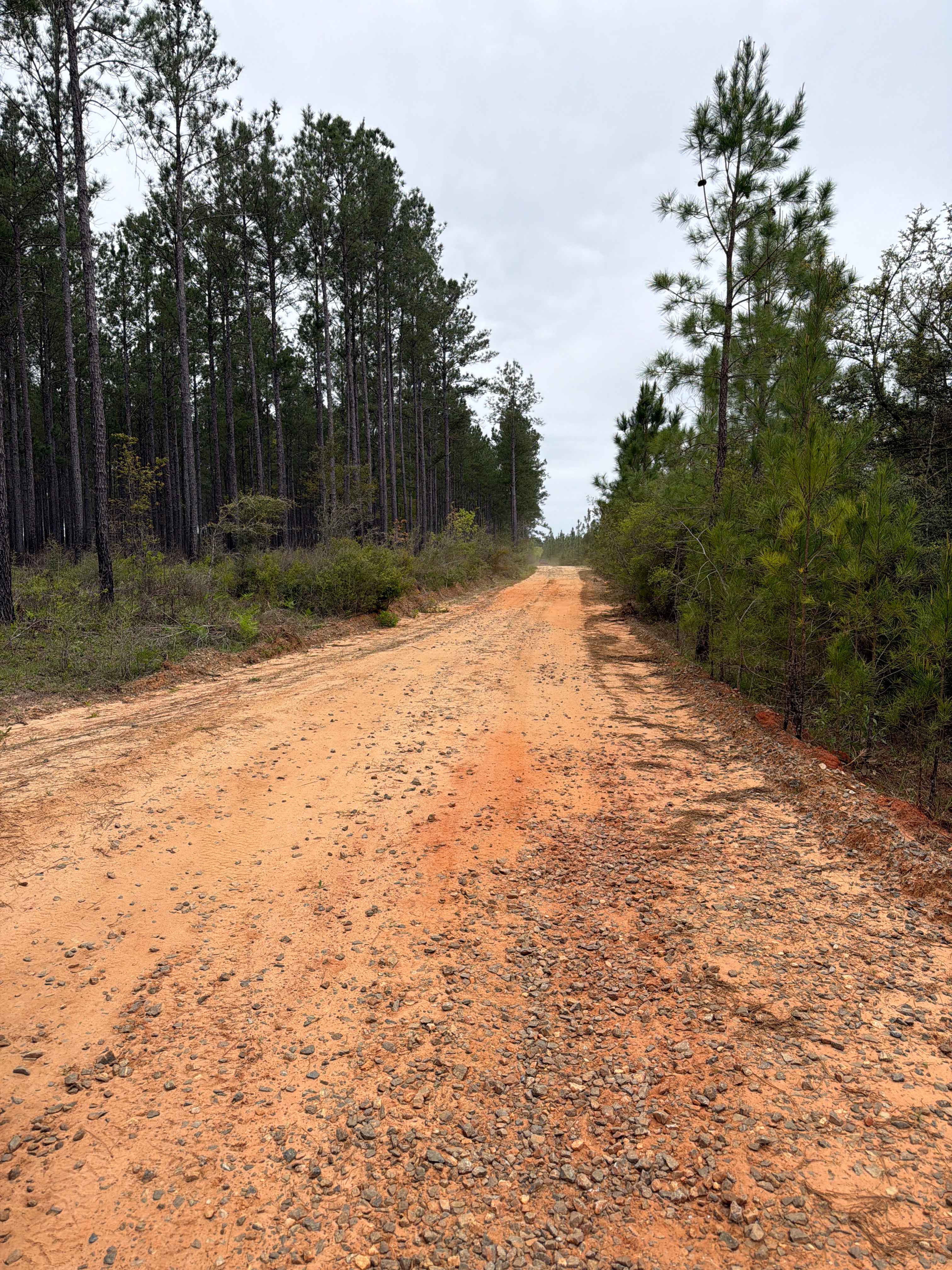

Learn more about Fallen Pine Grade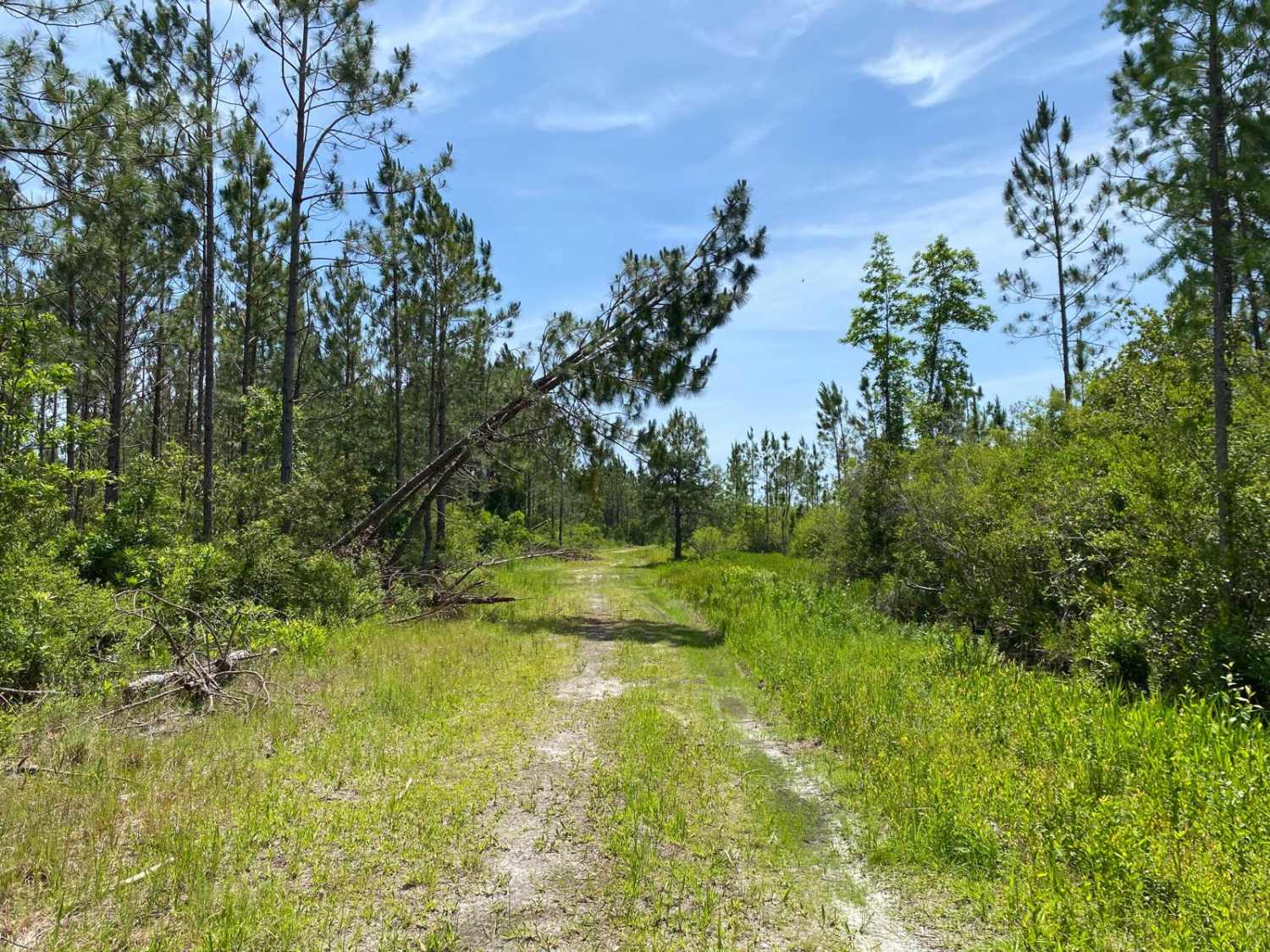
Fallen Pine Grade
Total Miles
2.1
Tech Rating
Moderate
Best Time
Spring, Summer, Fall, Winter
Learn more about Feeder - Osceola NF 217
Feeder - Osceola NF 217
Total Miles
2.6
Tech Rating
Easy
Best Time
Spring, Fall, Winter
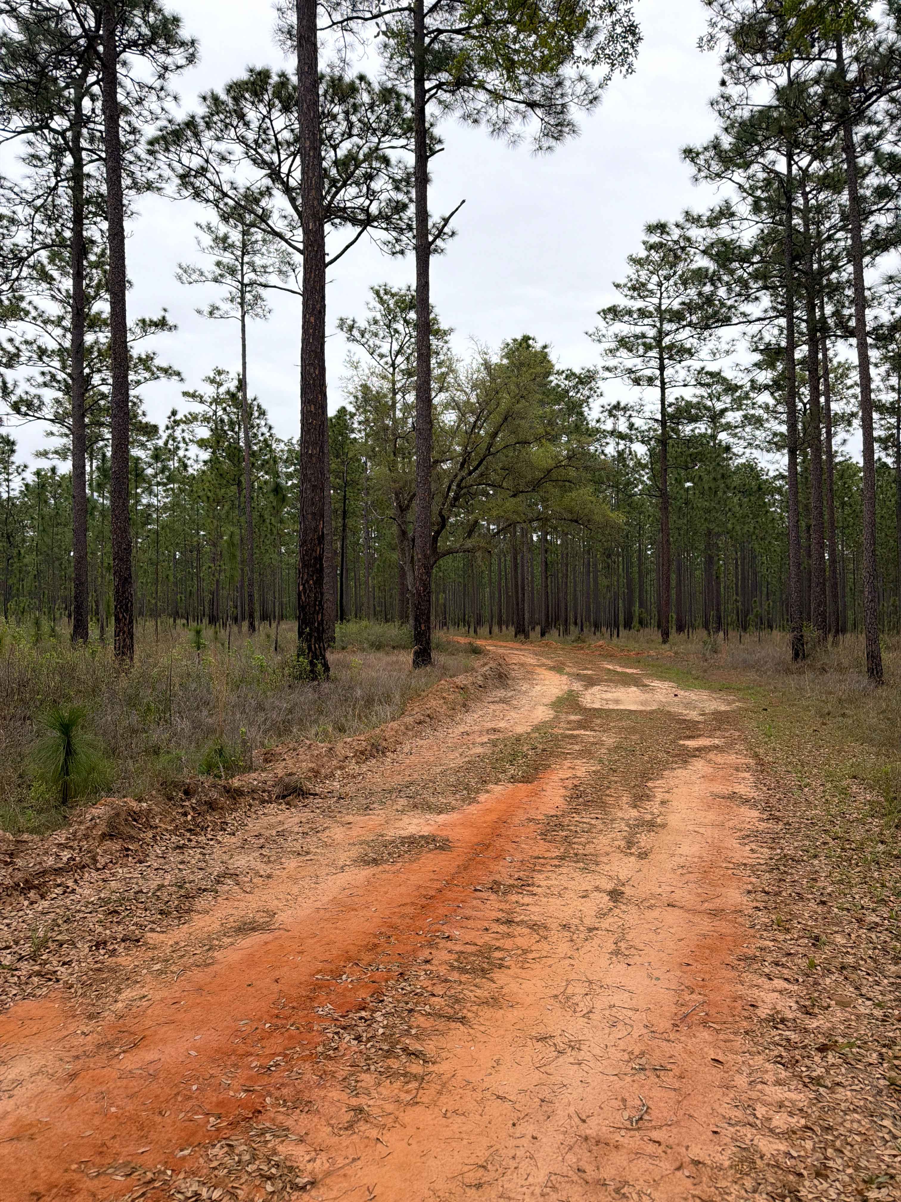
Learn more about Fieldhouse Road
Fieldhouse Road
Total Miles
3.1
Tech Rating
Easy
Best Time
Spring, Fall, Winter

Learn more about Firebreak 14 - Aucilla WMA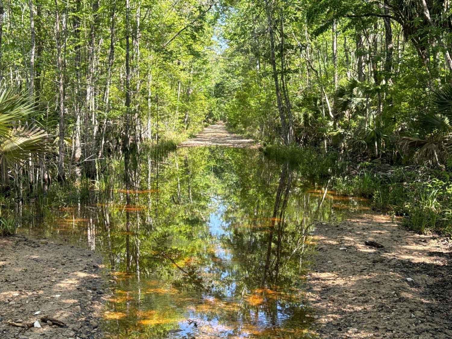
Firebreak 14 - Aucilla WMA
Total Miles
6.4
Tech Rating
Moderate
Best Time
Winter, Fall, Spring
Learn more about Firebreak Road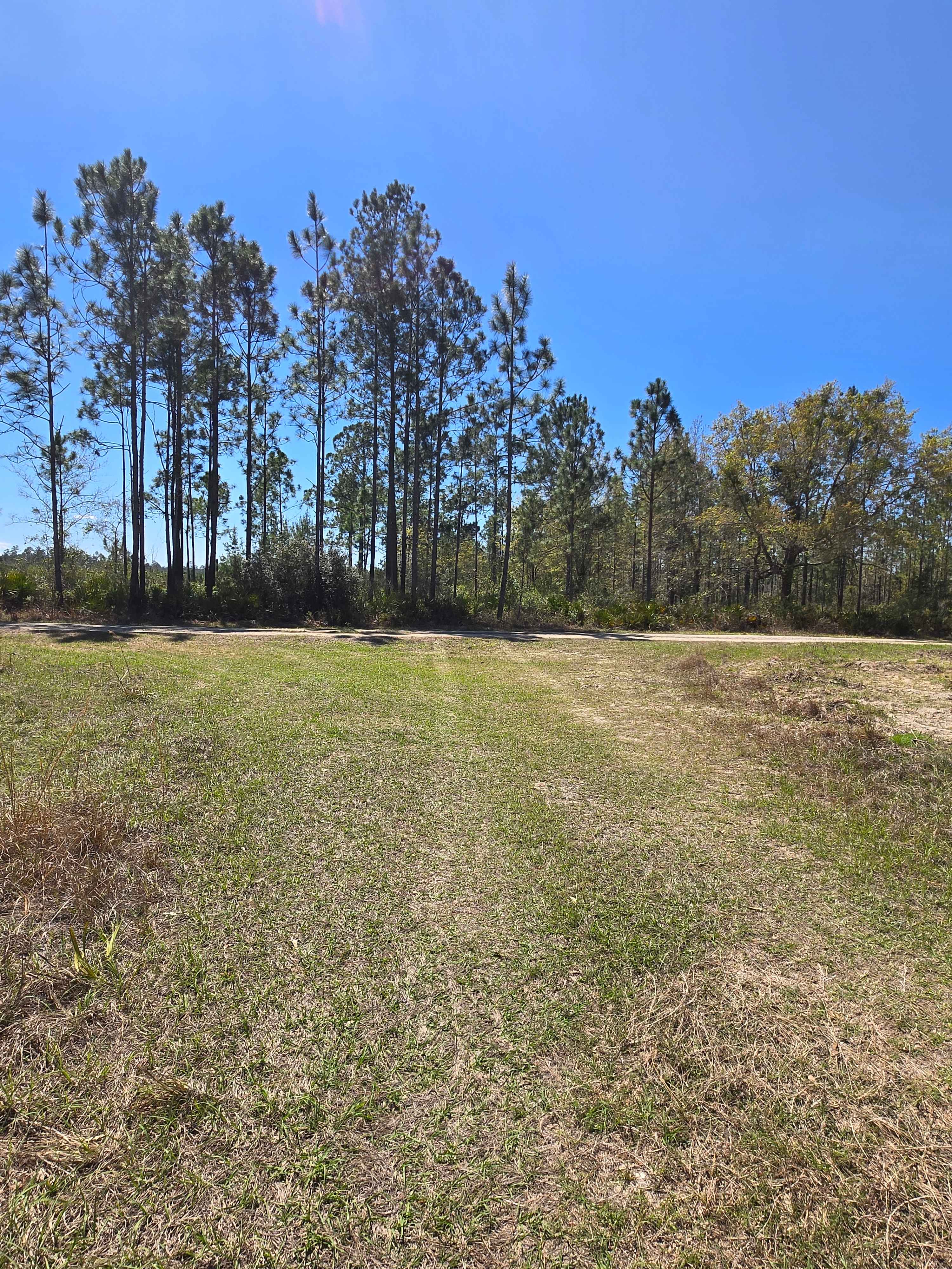
Firebreak Road
Total Miles
0.2
Tech Rating
Easy
Best Time
Spring, Fall, Summer, Winter
Learn more about Firewood - FS 364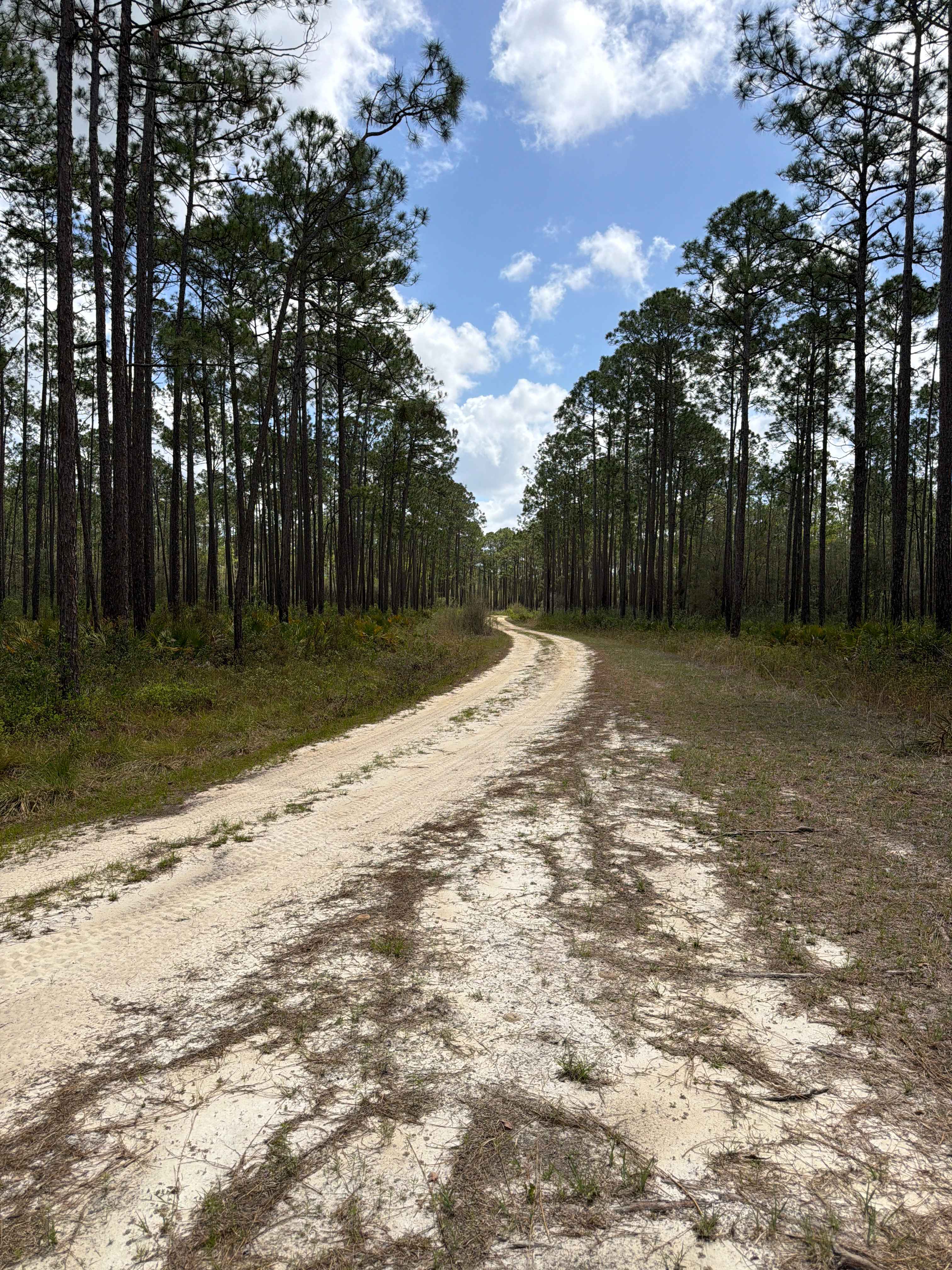
Firewood - FS 364
Total Miles
6.2
Tech Rating
Difficult
Best Time
Spring, Fall, Winter
Learn more about Firewood Loop - Apalachicola 364 C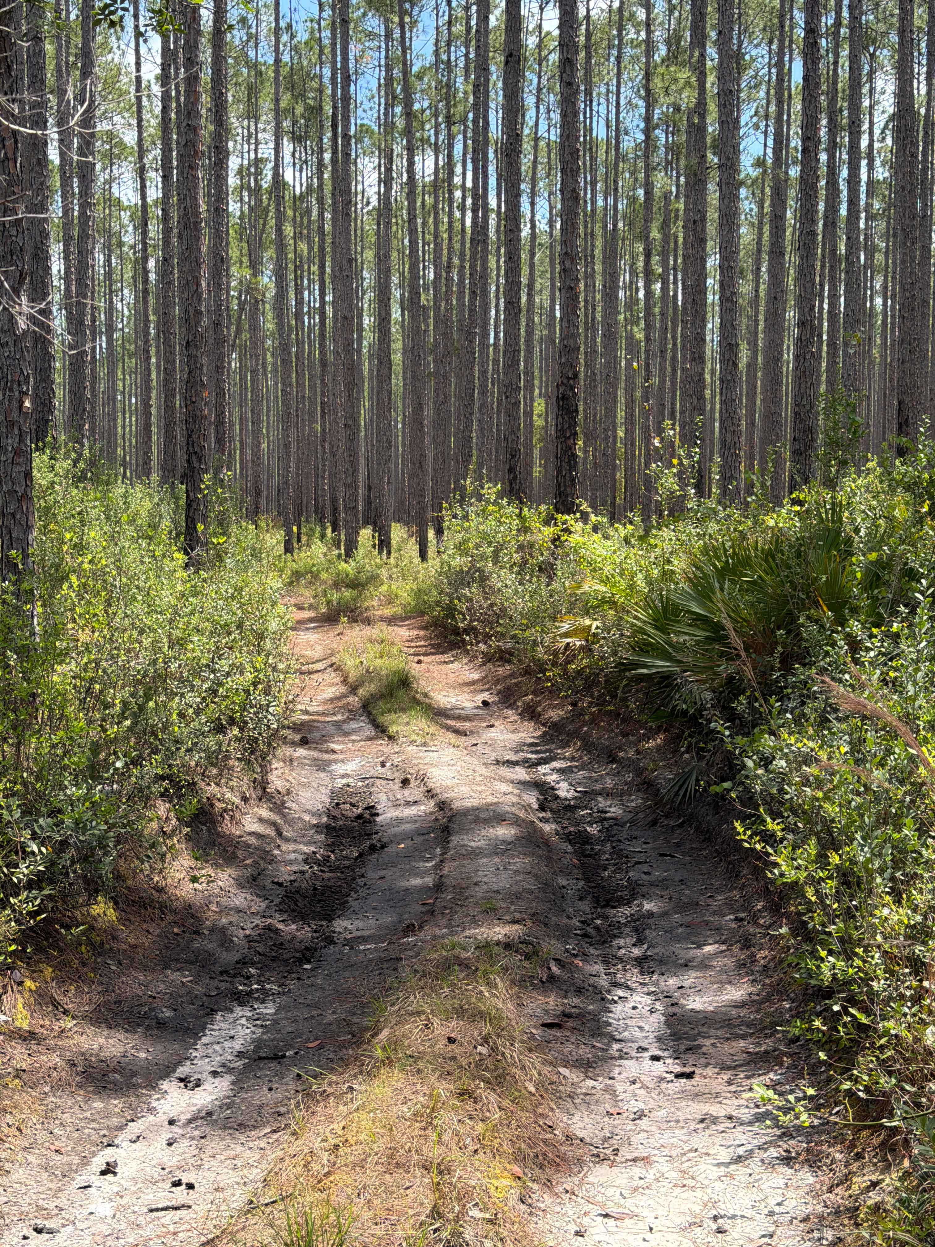
Firewood Loop - Apalachicola 364 C
Total Miles
2.8
Tech Rating
Moderate
Best Time
Spring, Fall, Winter
Learn more about Fish Camp Road - CR2082 Connector 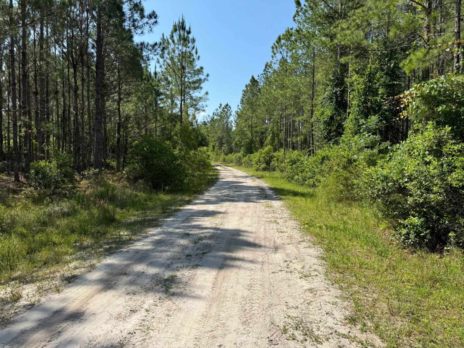
Fish Camp Road - CR2082 Connector
Total Miles
3.5
Tech Rating
Easy
Best Time
Spring, Fall, Winter
Learn more about Fish Camp Road North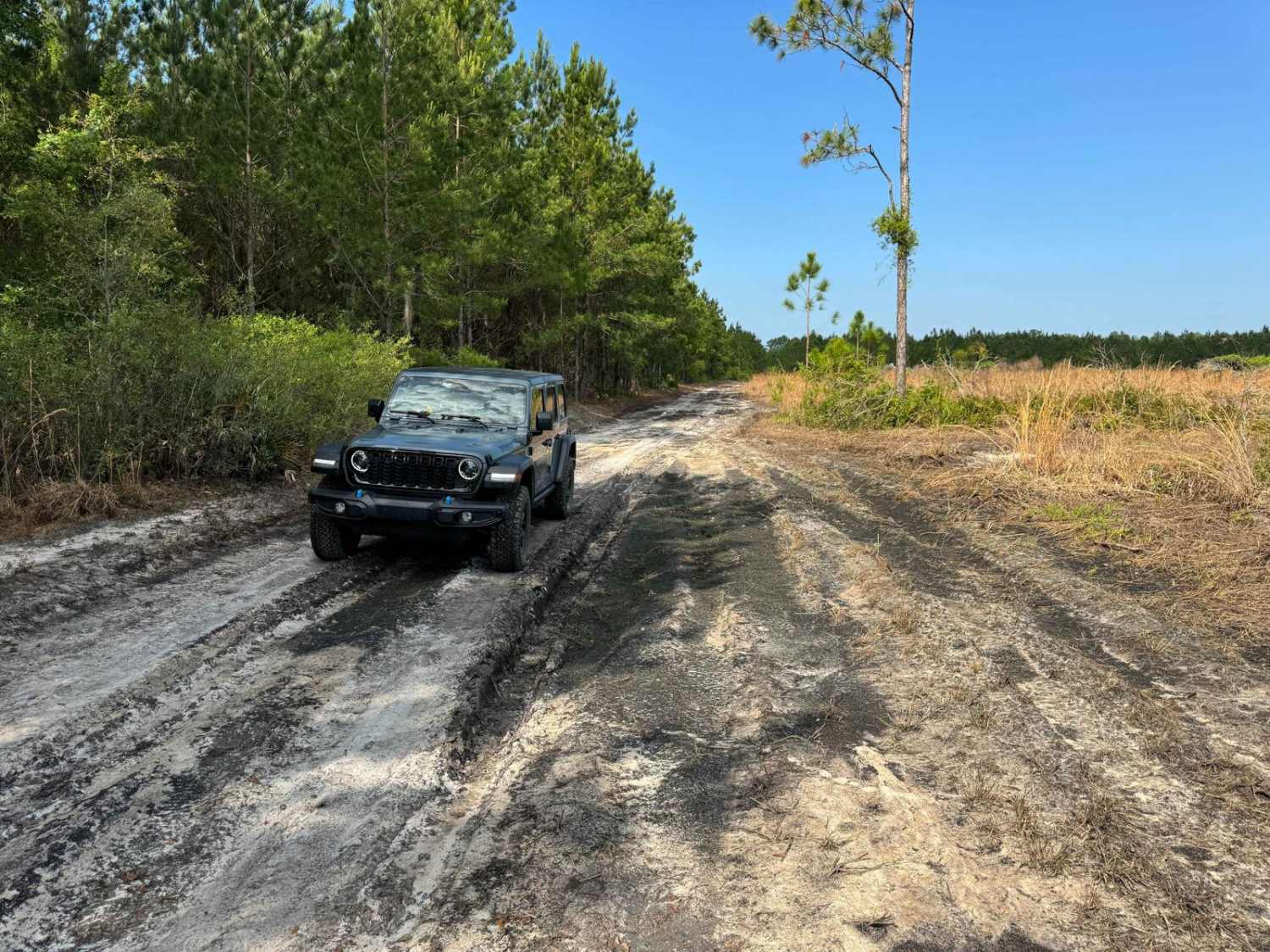
Fish Camp Road North
Total Miles
3.3
Tech Rating
Easy
Best Time
Spring, Fall, Winter
Learn more about Fish Camp Road South - Lochloosa WMA West
Fish Camp Road South - Lochloosa WMA West
Total Miles
2.8
Tech Rating
Easy
Best Time
Spring, Fall, Winter
Learn more about Fish Hole Road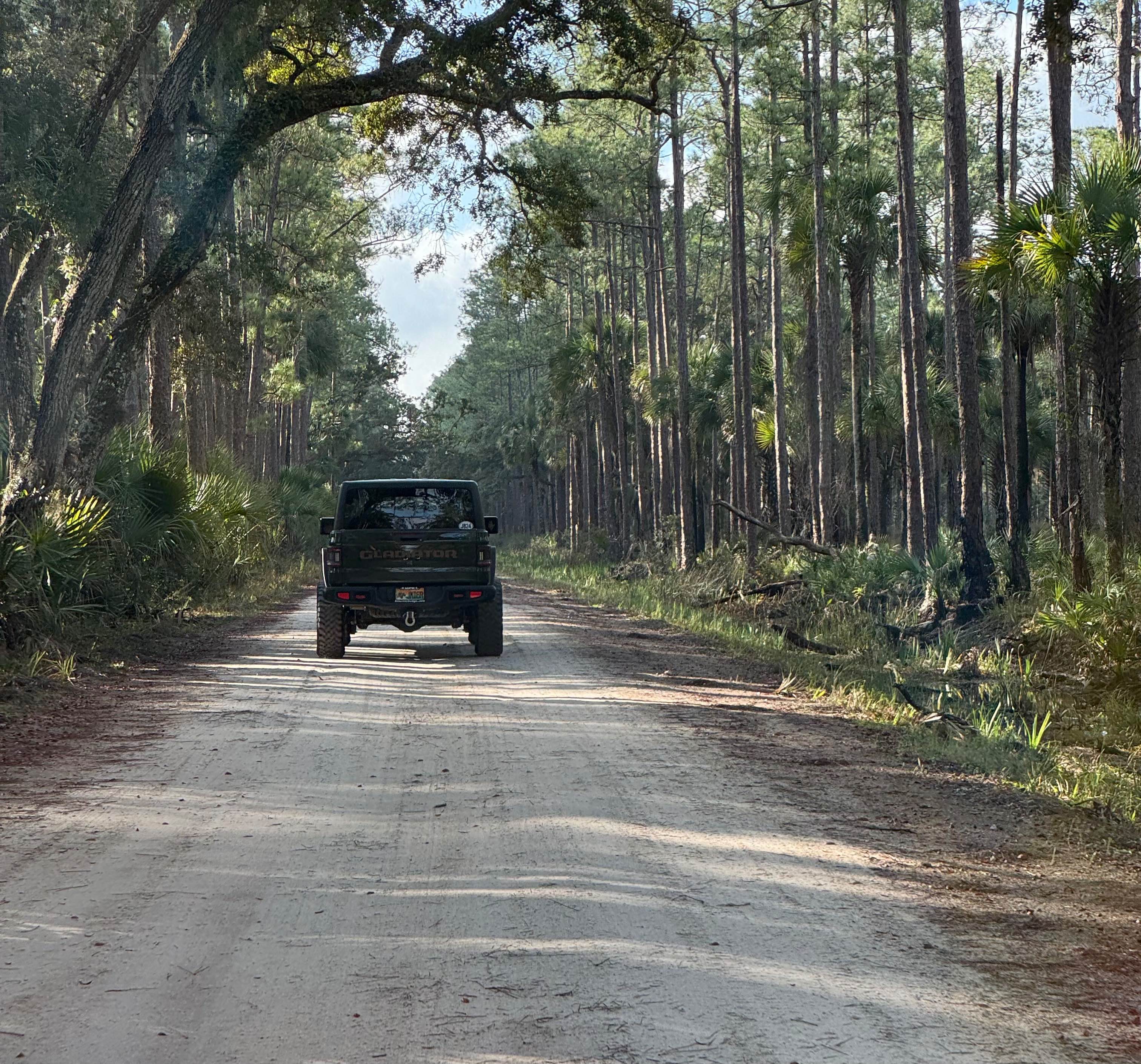
Fish Hole Road
Total Miles
4.6
Tech Rating
Easy
Best Time
Spring, Summer, Fall, Winter
Learn more about Fishbone Creek Road
Fishbone Creek Road
Total Miles
0.9
Tech Rating
Easy
Best Time
Spring, Fall, Winter
ATV trails in Florida
Learn more about 267 - Otter Camp (344)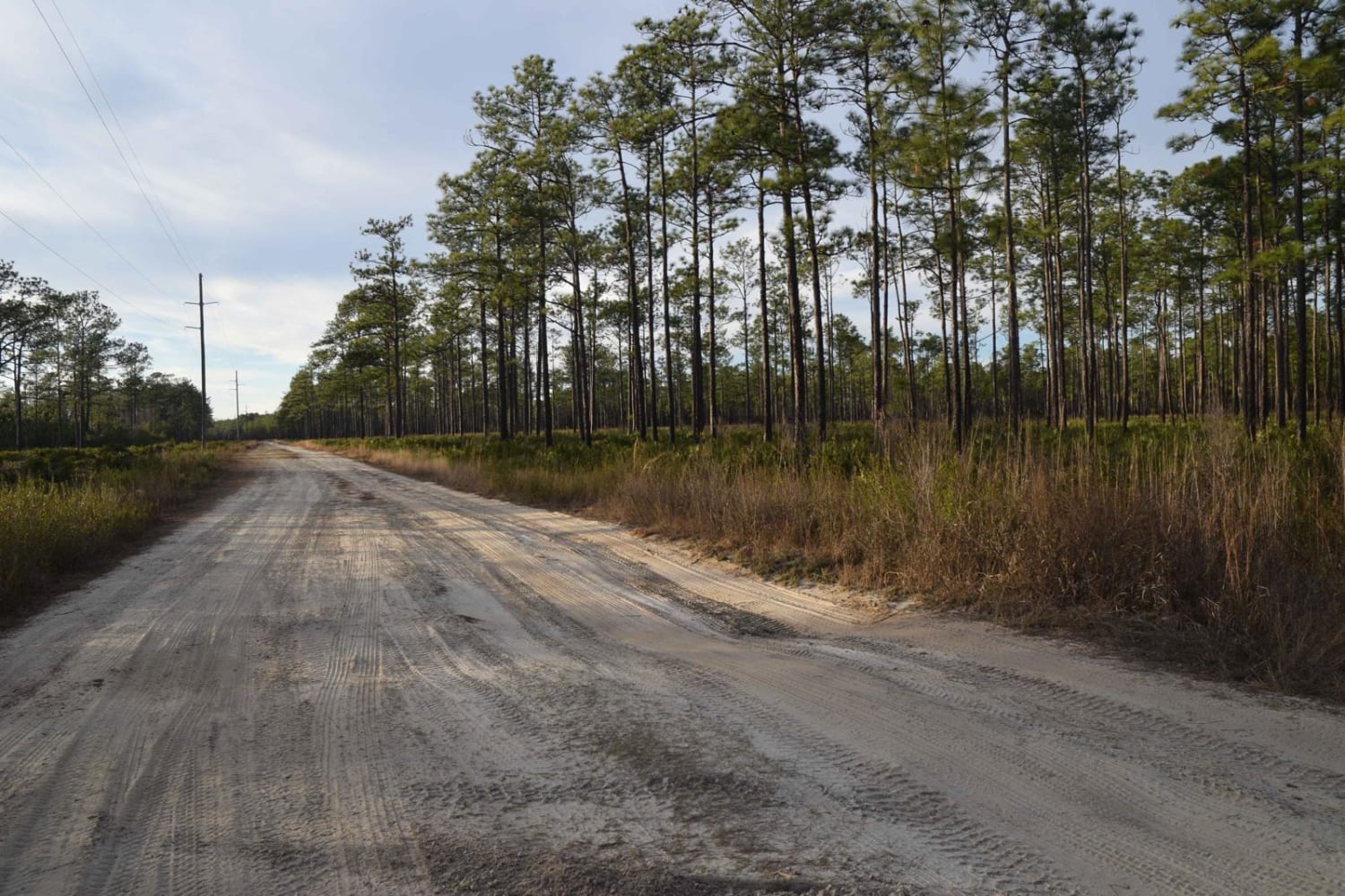
267 - Otter Camp (344)
Total Miles
7.0
Tech Rating
Easy
Best Time
Summer, Fall, Winter, Spring
Learn more about 305 North Pasture 
305 North Pasture
Total Miles
7.1
Tech Rating
Easy
Best Time
Spring, Summer, Fall, Winter
Learn more about 40 Acre Lake
40 Acre Lake
Total Miles
1.4
Tech Rating
Difficult
Best Time
Spring, Summer, Fall, Winter
Learn more about 5 Mile Road Winter Garden - Clermont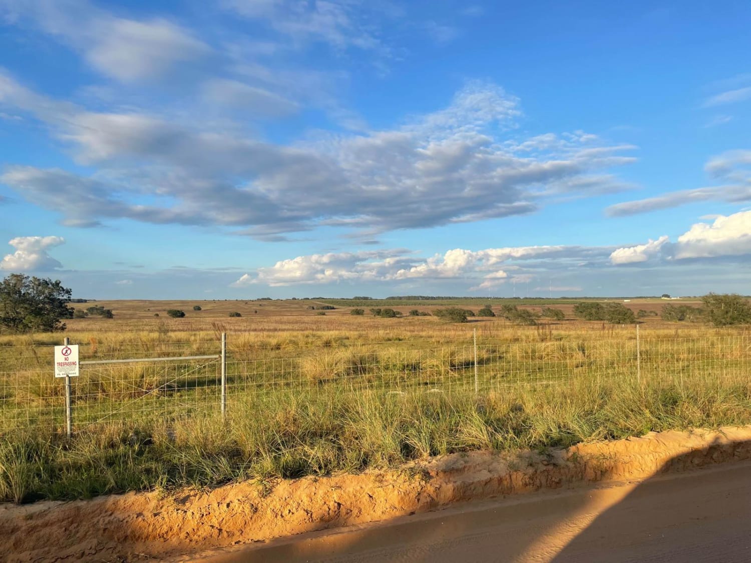
5 Mile Road Winter Garden - Clermont
Total Miles
6.5
Tech Rating
Easy
Best Time
Spring, Summer, Fall, Winter
UTV/side-by-side trails in Florida
Learn more about 267 - Otter Camp (344)
267 - Otter Camp (344)
Total Miles
7.0
Tech Rating
Easy
Best Time
Summer, Fall, Winter, Spring
Learn more about 305 North Pasture
305 North Pasture
Total Miles
7.1
Tech Rating
Easy
Best Time
Spring, Summer, Fall, Winter
Learn more about 40 Acre Lake
40 Acre Lake
Total Miles
1.4
Tech Rating
Difficult
Best Time
Spring, Summer, Fall, Winter
Learn more about 5 Mile Road Winter Garden - Clermont
5 Mile Road Winter Garden - Clermont
Total Miles
6.5
Tech Rating
Easy
Best Time
Spring, Summer, Fall, Winter
The onX Offroad Difference
onX Offroad combines trail photos, descriptions, difficulty ratings, width restrictions, seasonality, and more in a user-friendly interface. Available on all devices, with offline access and full compatibility with CarPlay and Android Auto. Discover what you’re missing today!