Fish Camp Road South - Lochloosa WMA West
Total Miles
2.8
Technical Rating
Best Time
Spring, Fall, Winter
Trail Type
Full-Width Road
Accessible By
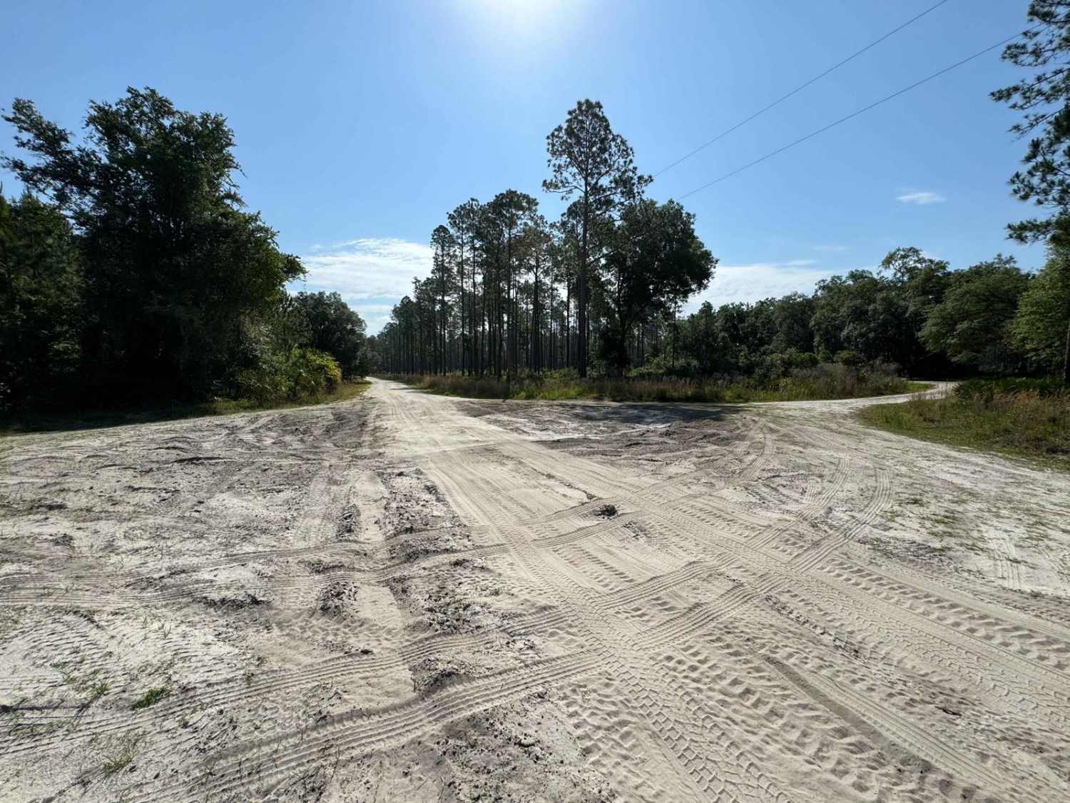
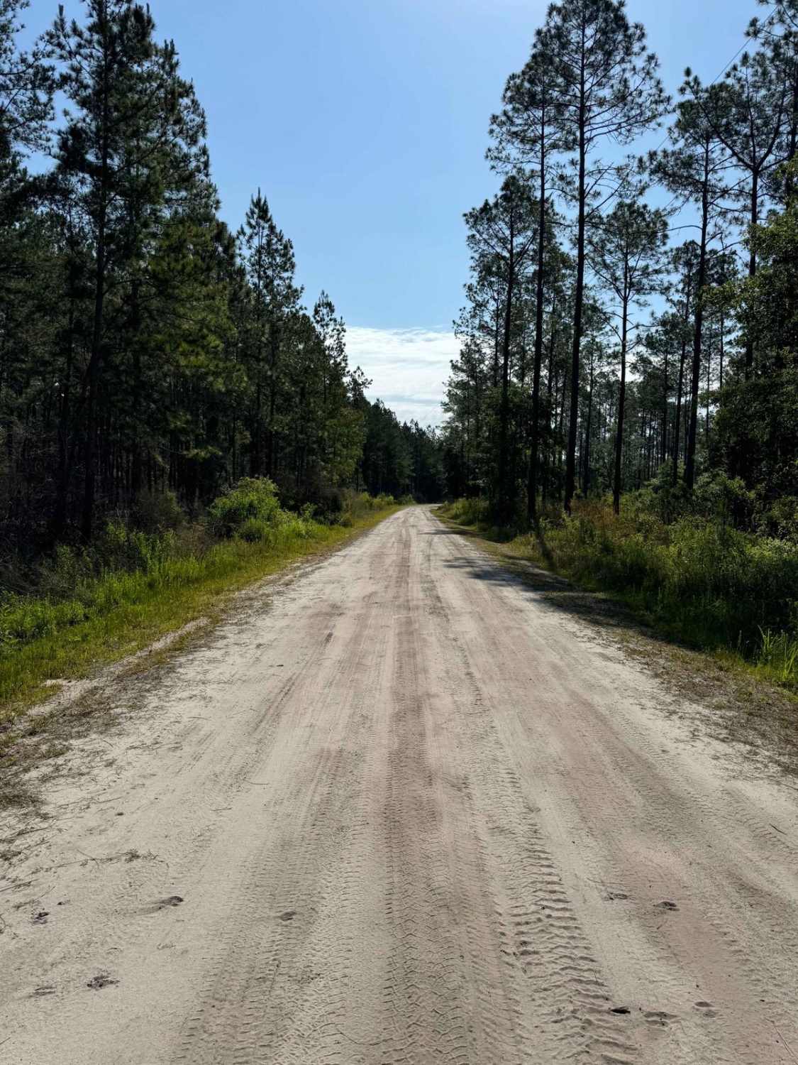
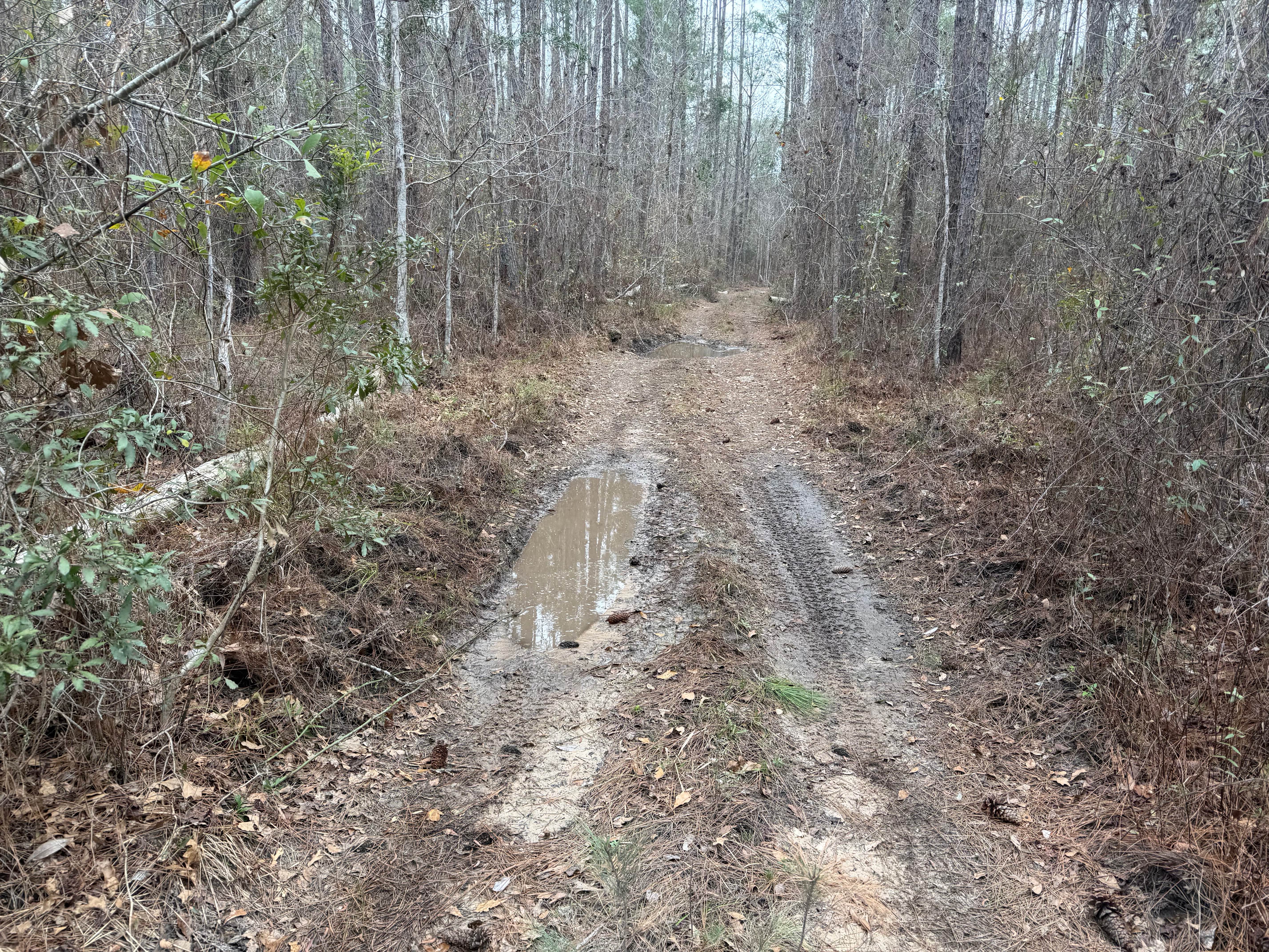
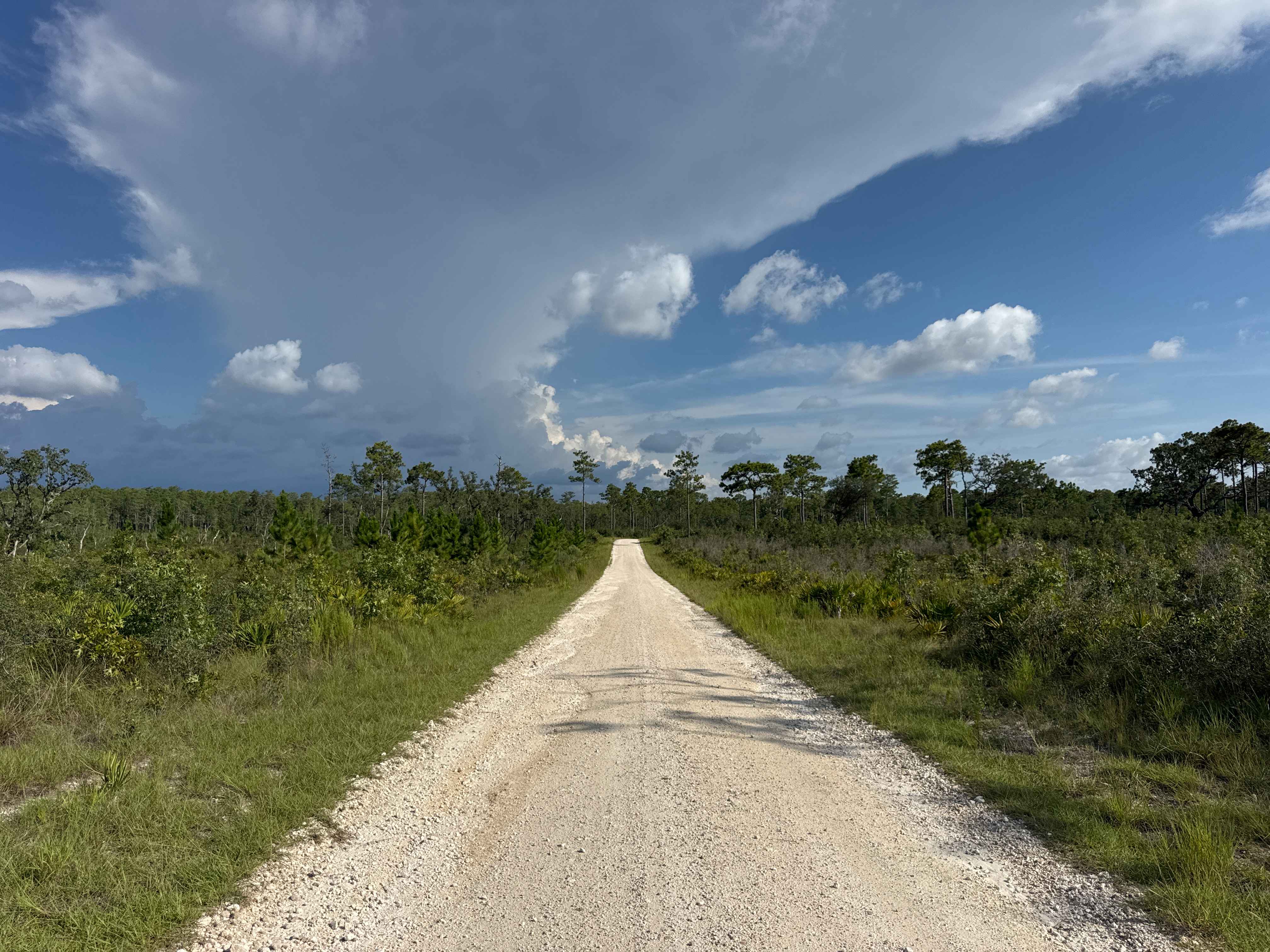
Trail Overview
The Fish Camp Road South connects CR 325 with the Lochloosa WCA Connector and the Lochloosa WMA West Loop. The road conditions are a mixture of packed sand, loose sand, and some deep holes that can turn into 2-foot-deep mud holes after rainy days. Some sections require 4WD and high clearance is recommended. OHVs are not permitted in this area.
Photos of Fish Camp Road South - Lochloosa WMA West
Difficulty
The road conditions are a mixture of packed sand, loose sand, and some deep holes that can turn into 2-foot-deep mud holes after rainy days. Some sections require 4WD and high clearance is recommended.
Fish Camp Road South - Lochloosa WMA West can be accessed by the following ride types:
- High-Clearance 4x4
- SUV
- Dirt Bike
Fish Camp Road South - Lochloosa WMA West Map
Popular Trails

Stumpers Grade Trail
Big Cypress Swamp South East Loop

Boatwright - FS 182
The onX Offroad Difference
onX Offroad combines trail photos, descriptions, difficulty ratings, width restrictions, seasonality, and more in a user-friendly interface. Available on all devices, with offline access and full compatibility with CarPlay and Android Auto. Discover what you’re missing today!