Fish Hole Road
Total Miles
4.6
Technical Rating
Best Time
Spring, Summer, Fall, Winter
Trail Type
Full-Width Road
Accessible By
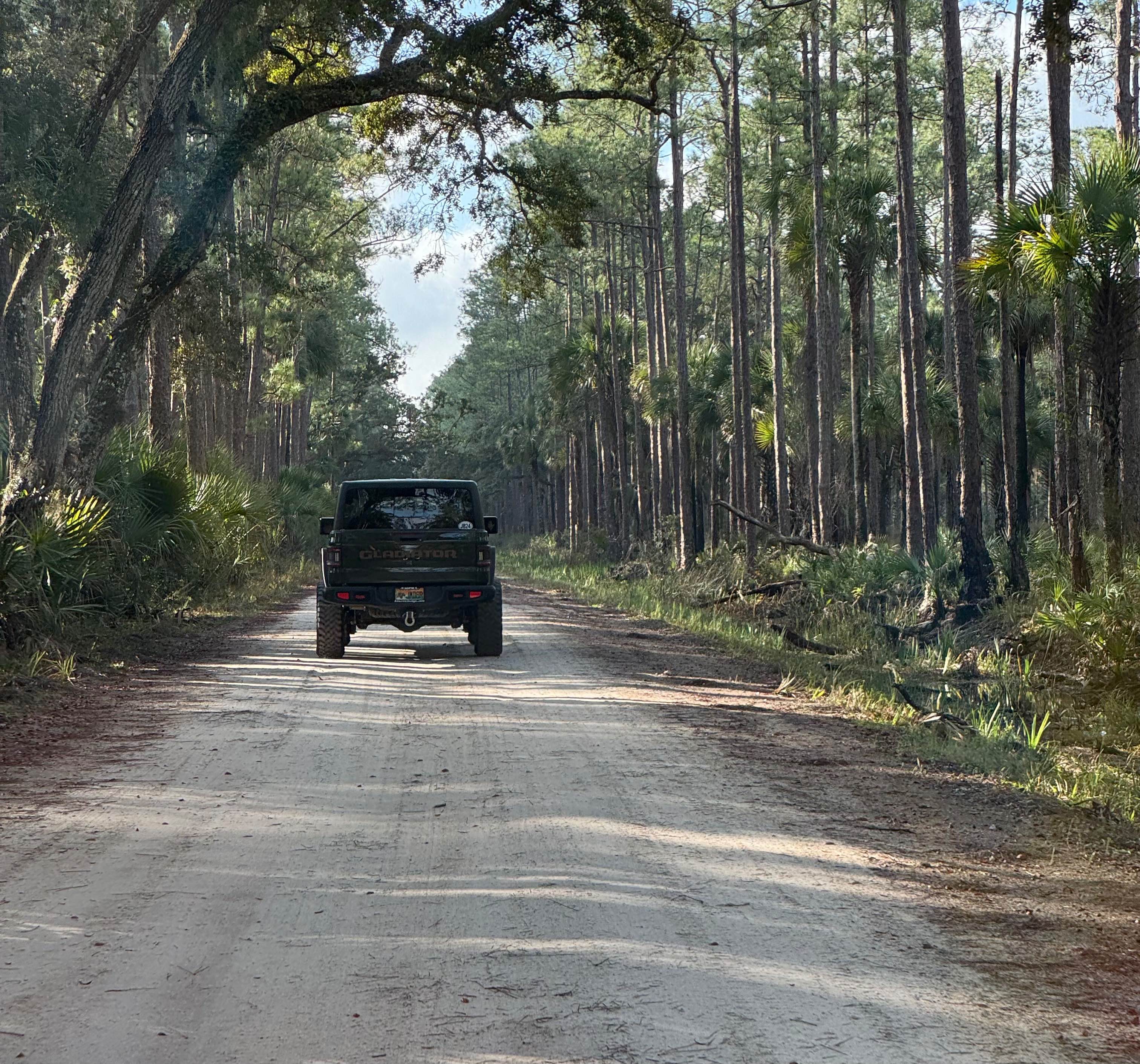
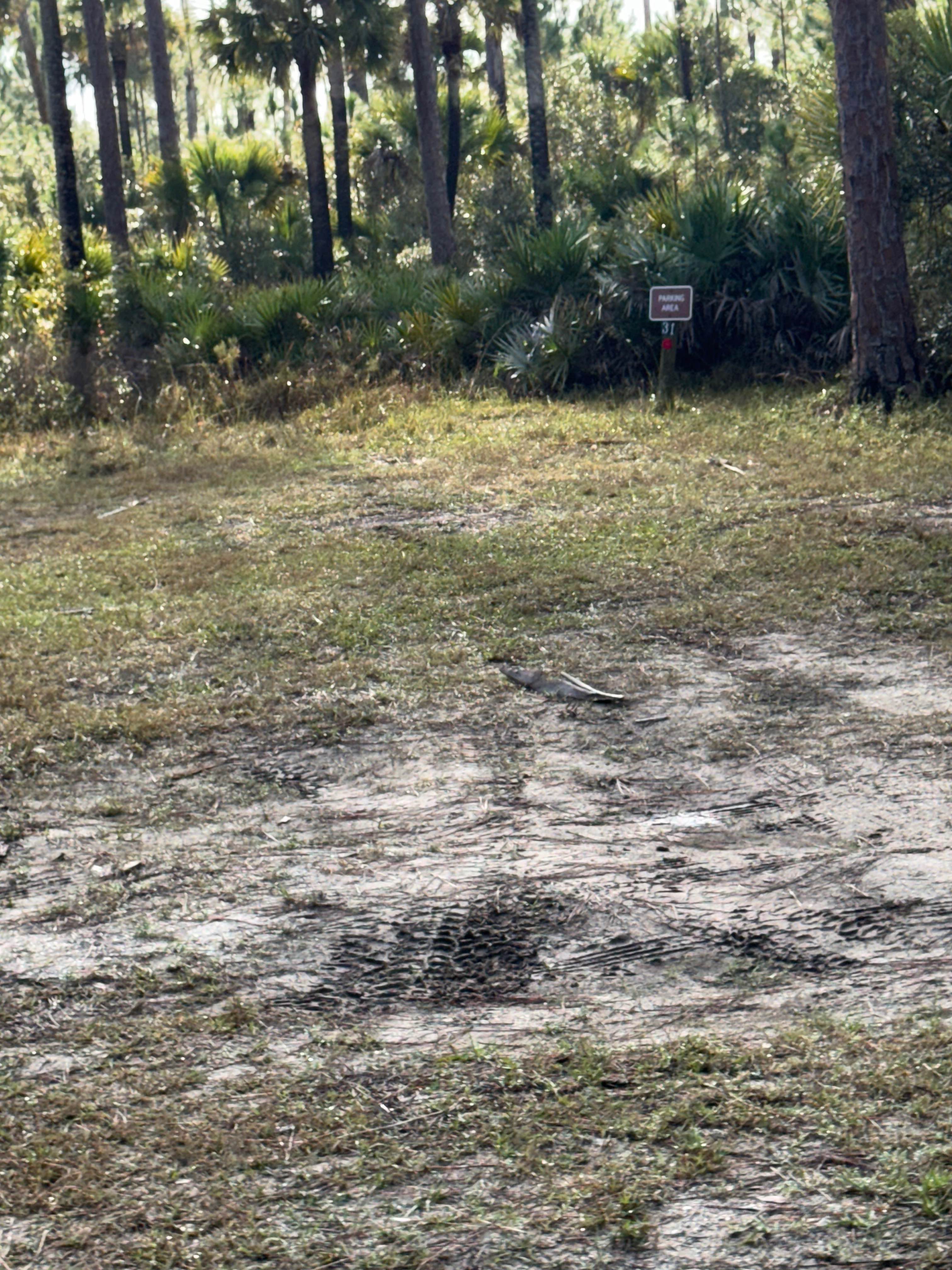
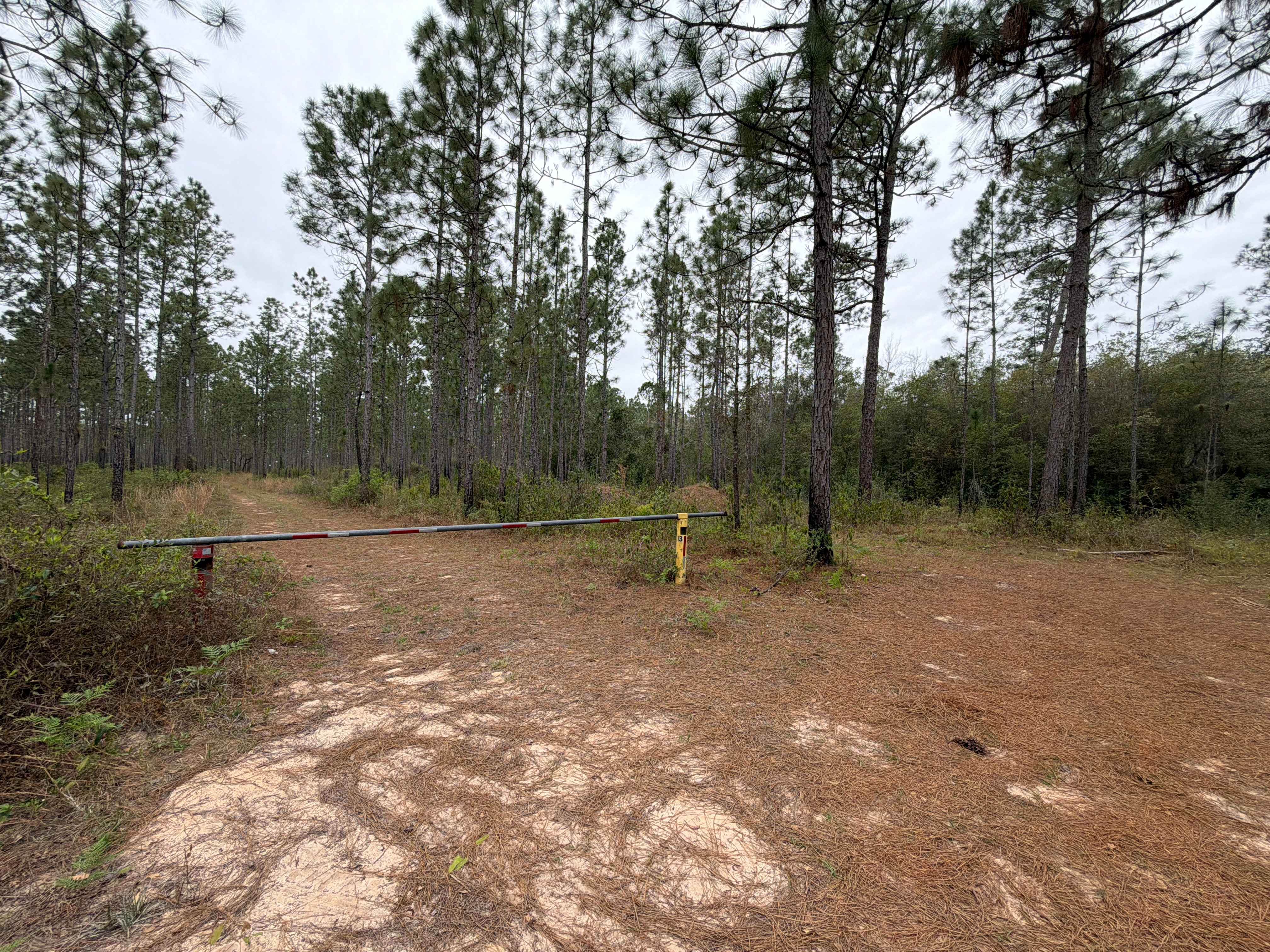
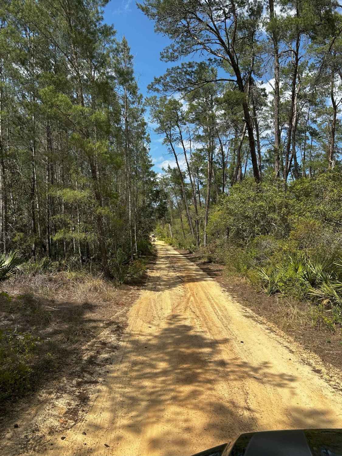
Trail Overview
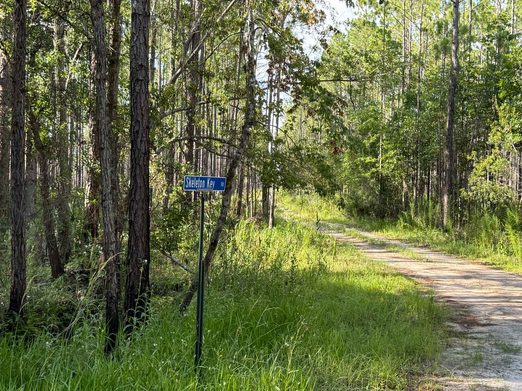
Fish Hole Road is a flat sand and clay surface road that runs primarily north and south along the eastern portion of the WMA. The trail wanders through thick forested areas with primarily pine flatwoods and wet flatwoods. The Florida National Scenic Hiking Trail crosses Fish Hole Road near the road's southern end. Other foot and horse trails cross the road along its length. The southern end had a tendency to flood, making travel difficult, but the recent addition of two raised culvert crossings has mostly eliminated that hazard. A stop in this area provides a close-up view of a classic Florida slow-running freshwater ecosystem. The southern end of the trail terminates at the intersection of Long Bluff Road. There is an overhead limited-access roadway, Beachline Expressway, that crosses the two trails at this intersection.
Photos of Fish Hole Road
Difficulty
Mostly sand and dirt with a few spots that may hold water in wet weather.
Status Reports
Fish Hole Road can be accessed by the following ride types:
- High-Clearance 4x4
- SUV
Fish Hole Road Map
Popular Trails

ONF Trail 5-18.4
Skeleton Key Road
The onX Offroad Difference
onX Offroad combines trail photos, descriptions, difficulty ratings, width restrictions, seasonality, and more in a user-friendly interface. Available on all devices, with offline access and full compatibility with CarPlay and Android Auto. Discover what you’re missing today!