Tigiwon Road
Total Miles
17.3
Technical Rating
Best Time
Summer, Spring, Fall
Trail Type
Full-Width Road
Accessible By
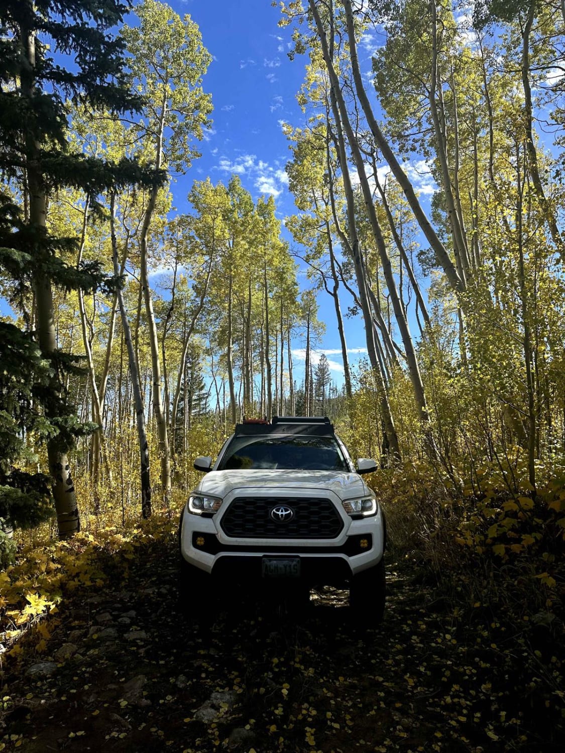
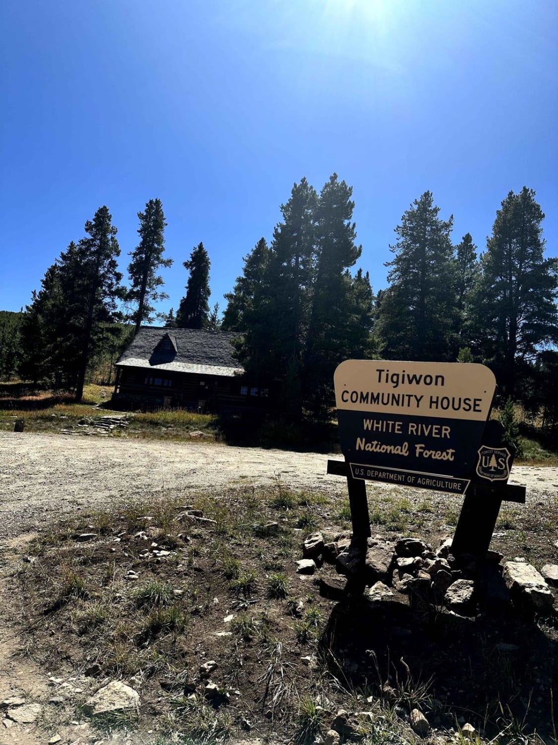
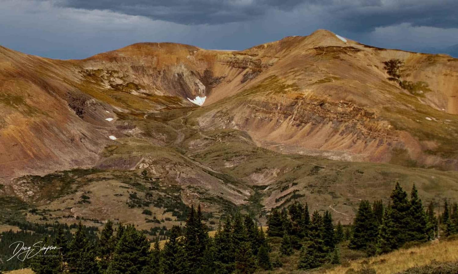
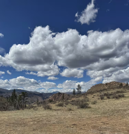
Trail Overview
This is an out-and-back trail that is mainly used to access hiking trails. Fall Creek, Mount of Tthe Holy Cross, and Cross Creek Trailhead are all accessible via this dirt road. A good portion of the trail is lined with aspens. There are multiple dispersed camping spots throughout and a designated fee camping area at the very top. At 5.4 miles in, you'll find Tigiwon Community House. Reservations are available through the US Forest Service. Public bathrooms are available at the Community House. The trail offers views of the historic Gilman mining town.
Photos of Tigiwon Road
Difficulty
The trail is mostly flat and accessible by 2WD vehicles. There are some mildly rocky sections, and conditions of the trail may change due to rain or snow. It's a two-way trail with plenty of space to pass.
History
Minturn Mine is at the beginning of the trail on your right-hand side. The abandoned town of Gilman is very close by. The Gilman Post Office operated from November 3, 1886, until April 22, 1986. It was closed by order of the Environmental Protection Agency due to toxic pollutants.
Status Reports
Tigiwon Road can be accessed by the following ride types:
- High-Clearance 4x4
- SUV
- SxS (60")
- ATV (50")
- Dirt Bike
Tigiwon Road Map
Popular Trails
Farwell Mountain
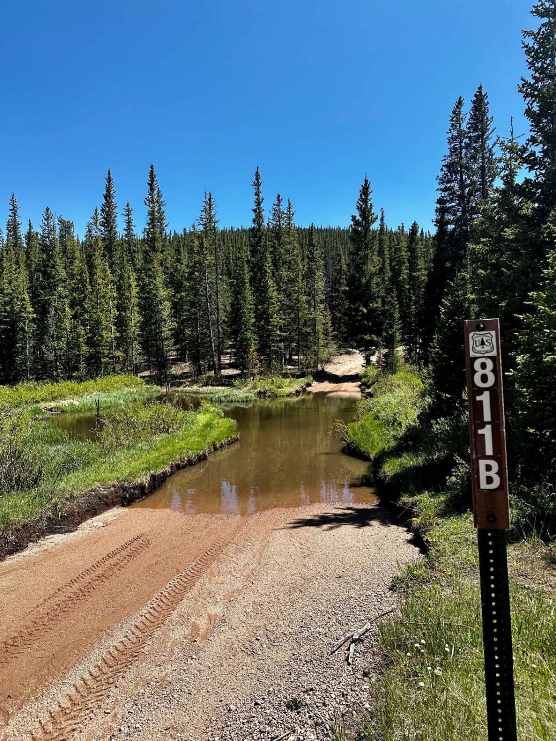
Lininger Cutoff (FS 811B)
Mt. Lincoln Road
The onX Offroad Difference
onX Offroad combines trail photos, descriptions, difficulty ratings, width restrictions, seasonality, and more in a user-friendly interface. Available on all devices, with offline access and full compatibility with CarPlay and Android Auto. Discover what you’re missing today!