West Beaver Creek Road
Total Miles
7.2
Technical Rating
Best Time
Summer, Fall
Trail Type
Full-Width Road
Accessible By
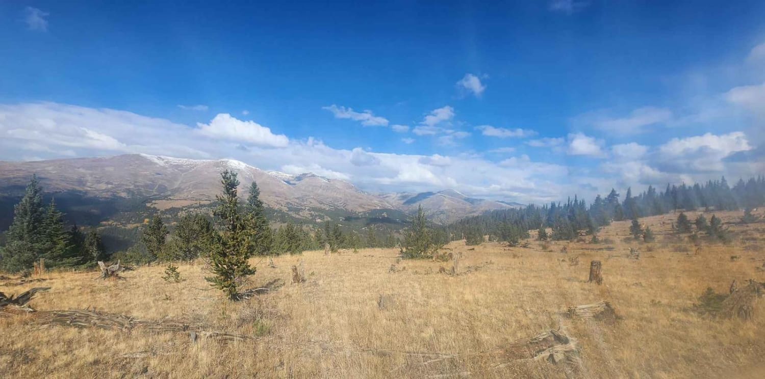
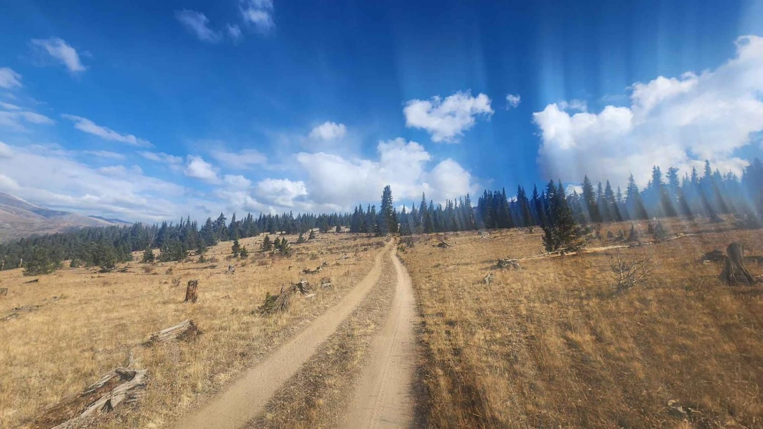
Trail Overview
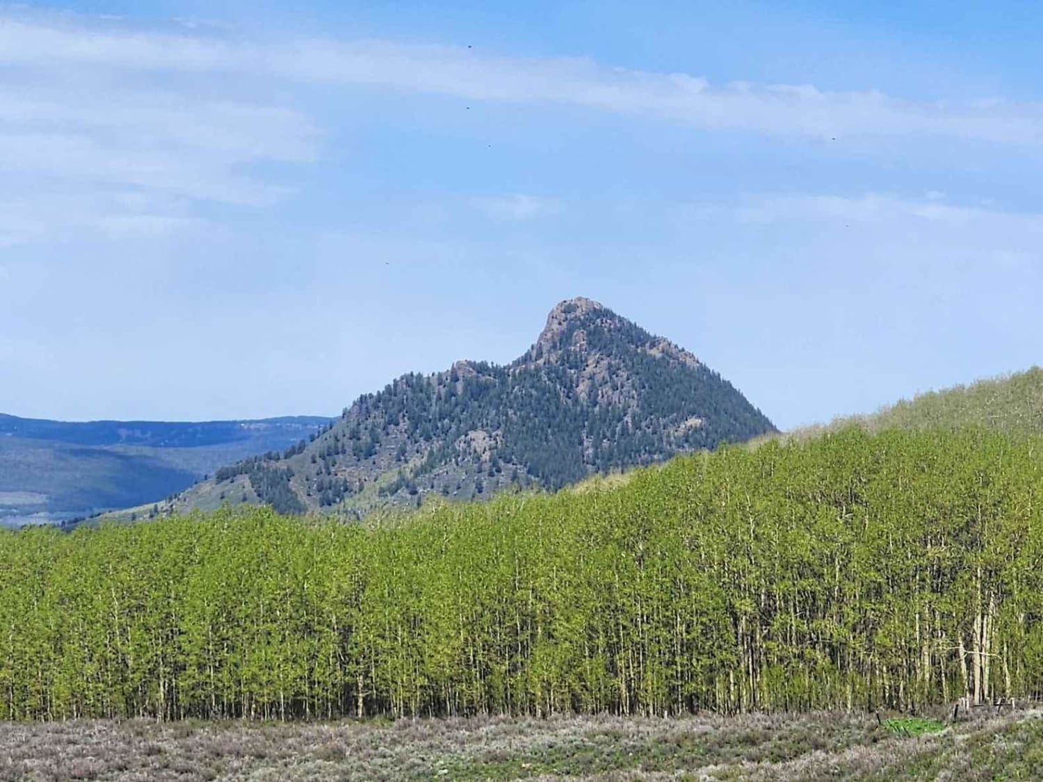
A gentle but scenic maintained dirt/gravel road underneath Mount Silver Heels ending just before the Iron Mine across Beaver Creek. There are spectacular views of Quandary to the West and Silverheels to the East. Along the way are several historic cabins as well as the remnants of a mining dredge, common to the area. While there a numerous other roads in this area, they are closed. Like all county roads in Park County, this is street-legal only.
Photos of West Beaver Creek Road
Difficulty
To the USFS campground the road is maintained a good dirt/gravel road. After that and closer to the mine, the road is reduced to one car width
History
A large majority of the trees in this area have been chopped down by axe a long time ago. Given the limited buildings I assume they were used for fuel but I can't find evidence of where. I would assume this road served the mine and the dredging operations on the creek.
Status Reports
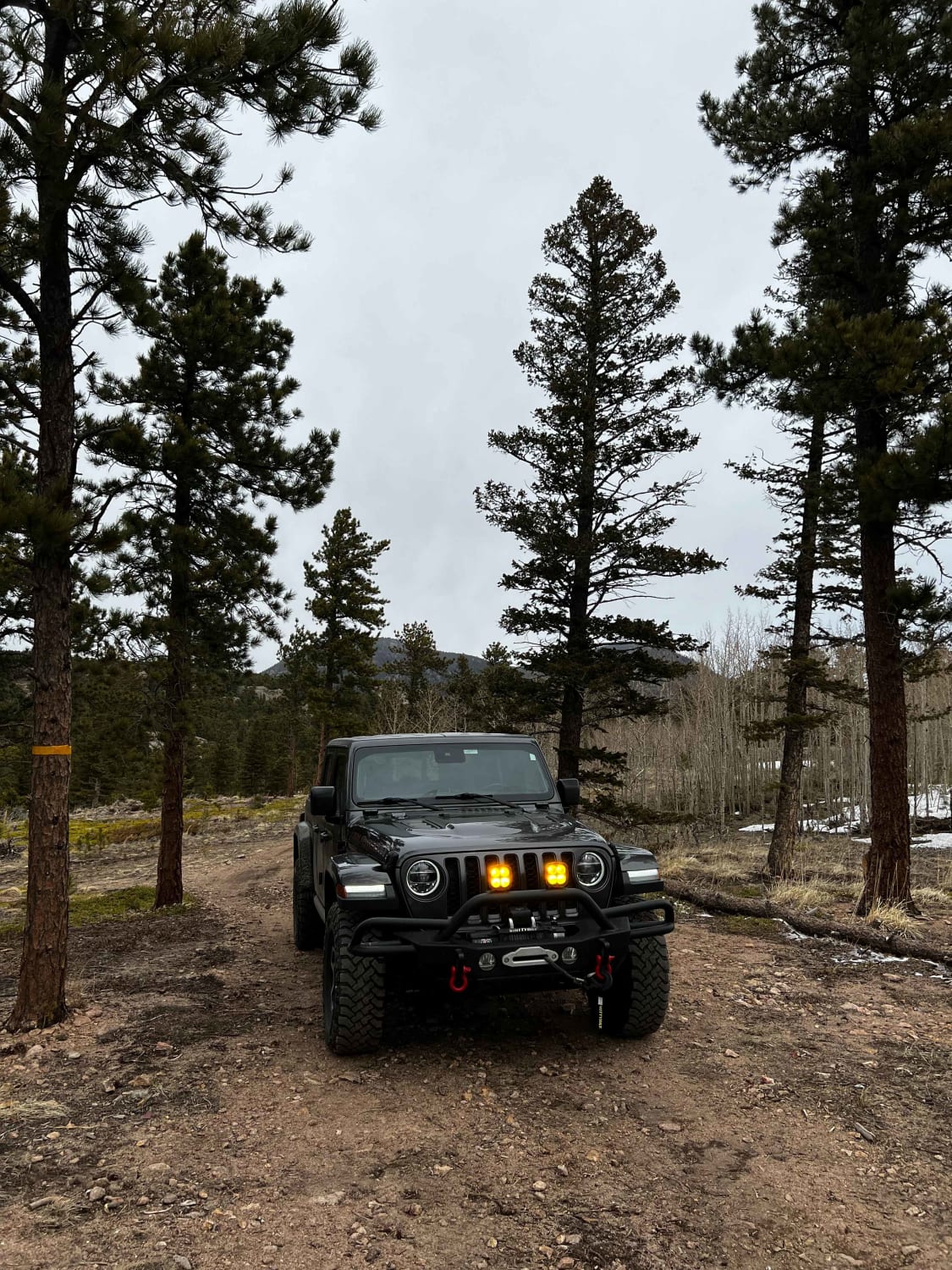
West Beaver Creek Road can be accessed by the following ride types:
- High-Clearance 4x4
- SUV
- Dirt Bike
West Beaver Creek Road Map
Popular Trails

La Plata Canyon/CR 124
Chimney Rock Road (West Carter Mountain)
The onX Offroad Difference
onX Offroad combines trail photos, descriptions, difficulty ratings, width restrictions, seasonality, and more in a user-friendly interface. Available on all devices, with offline access and full compatibility with CarPlay and Android Auto. Discover what you’re missing today!