2 trails found in Colorado
Which "switzerland trail" are you looking for?
We found 2 off-road trails in Colorado matching your search. Pick the one you're looking for below.
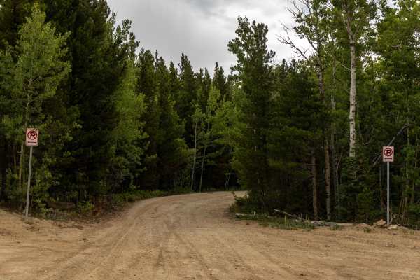
Switzerland Trail - North
This trail continues from the famous Switzerland Trail on the north side of Gold Hill Road and exits on Sawmill Road. It offers varied rocky terrain similar to the southern Switzerland Trail, with the addition of deep mud holes, scenic views, and an early option to explore the in-and-out Knob Hill t...
Learn more about Switzerland Trail - North
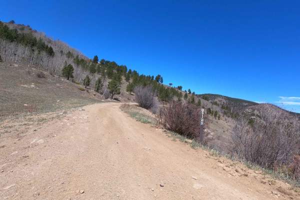
Switzerland Trail
Switzerland Trail is a long and rough offroad route that offers a mix of rocky sections, washouts, and potholes throughout its length. The back half of the trail transitions into a shelf road, with banked curves and offset potholes requiring careful navigation at slower speeds. This trail is best su...
Learn more about Switzerland Trail