Rim Trail
Total Miles
0.8
Technical Rating
Best Time
Summer
Trail Type
Single Track
Accessible By
Trail Overview
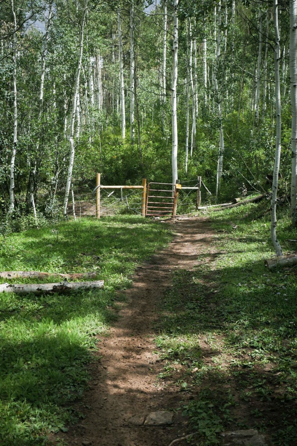
The Rim trail is a short single track that connects to the south end of Chicken Creek at an intersection with a non-motorized trail. It is a mile long, and mostly straight, flat, smooth, and easy, as it meanders through the forest. There aren't many rocks or curves. It goes through a fence on the north end, and through a beautiful aspen tree forest. It widens up on the south end before crossing the main road (561) and connecting to the Box Canyon Trail.
Photos of Rim Trail

Difficulty
This is an easy single-track trail with no obstacles.
Status Reports
Rim Trail can be accessed by the following ride types:
- Dirt Bike
Rim Trail Map
Popular Trails

Phantom Spur Trail


North Henson Creek Road
The onX Offroad Difference
onX Offroad combines trail photos, descriptions, difficulty ratings, width restrictions, seasonality, and more in a user-friendly interface. Available on all devices, with offline access and full compatibility with CarPlay and Android Auto. Discover what you’re missing today!