Pie Plant
Total Miles
4.0
Technical Rating
Best Time
Summer
Trail Type
Full-Width Road
Accessible By
Trail Overview
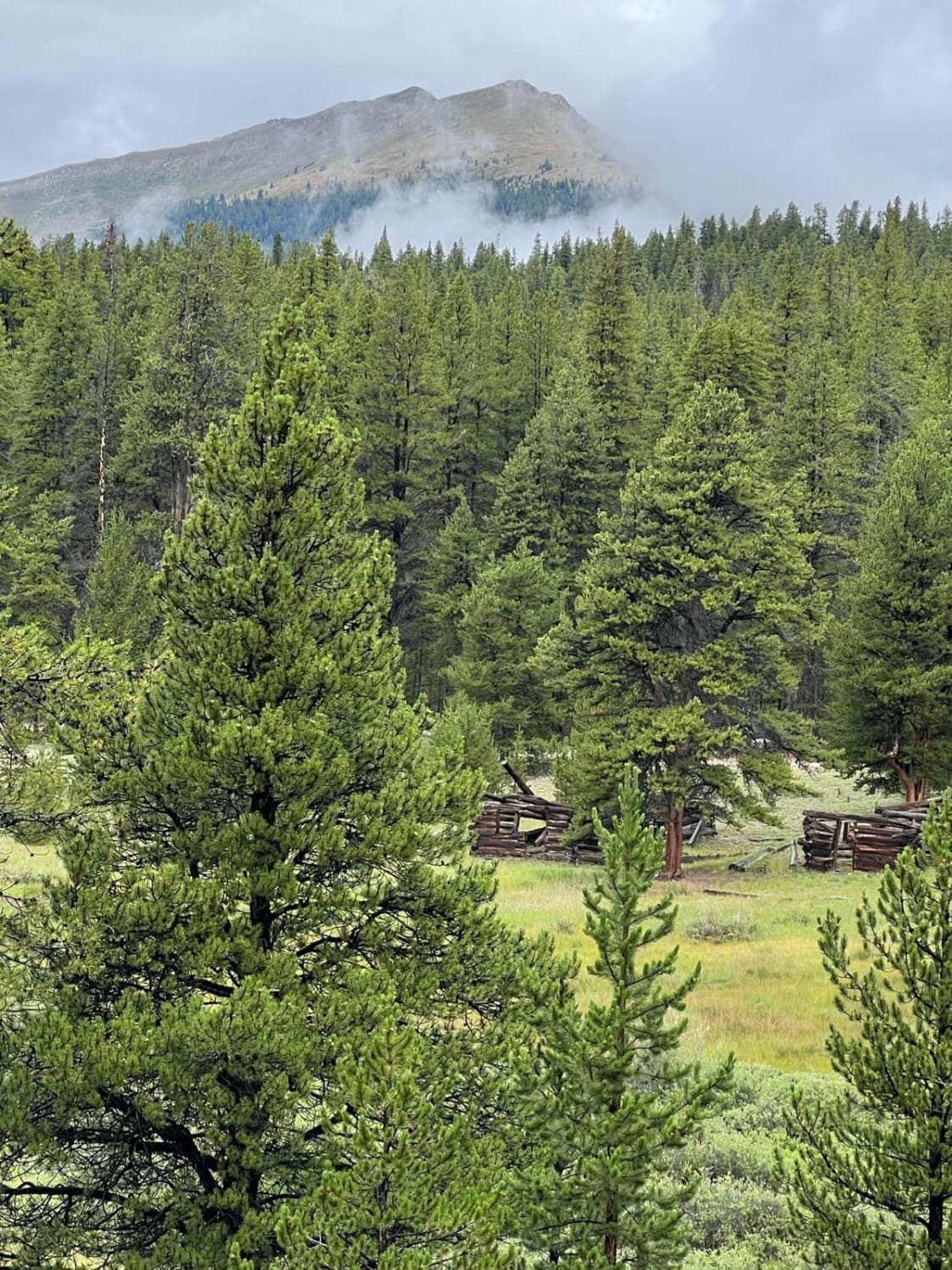
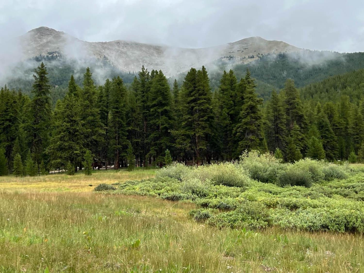
The road is graded for the first few miles. There are some nice camping sites along the road as you leave the Taylor Park River area and enter the trees. Driving is easy, although it can be muddy with some deep mud holes after rain. Driving up to the stamping mill site is much, more difficult, but can be walked easily. There is plenty of parking at the Pie Plant townsite.
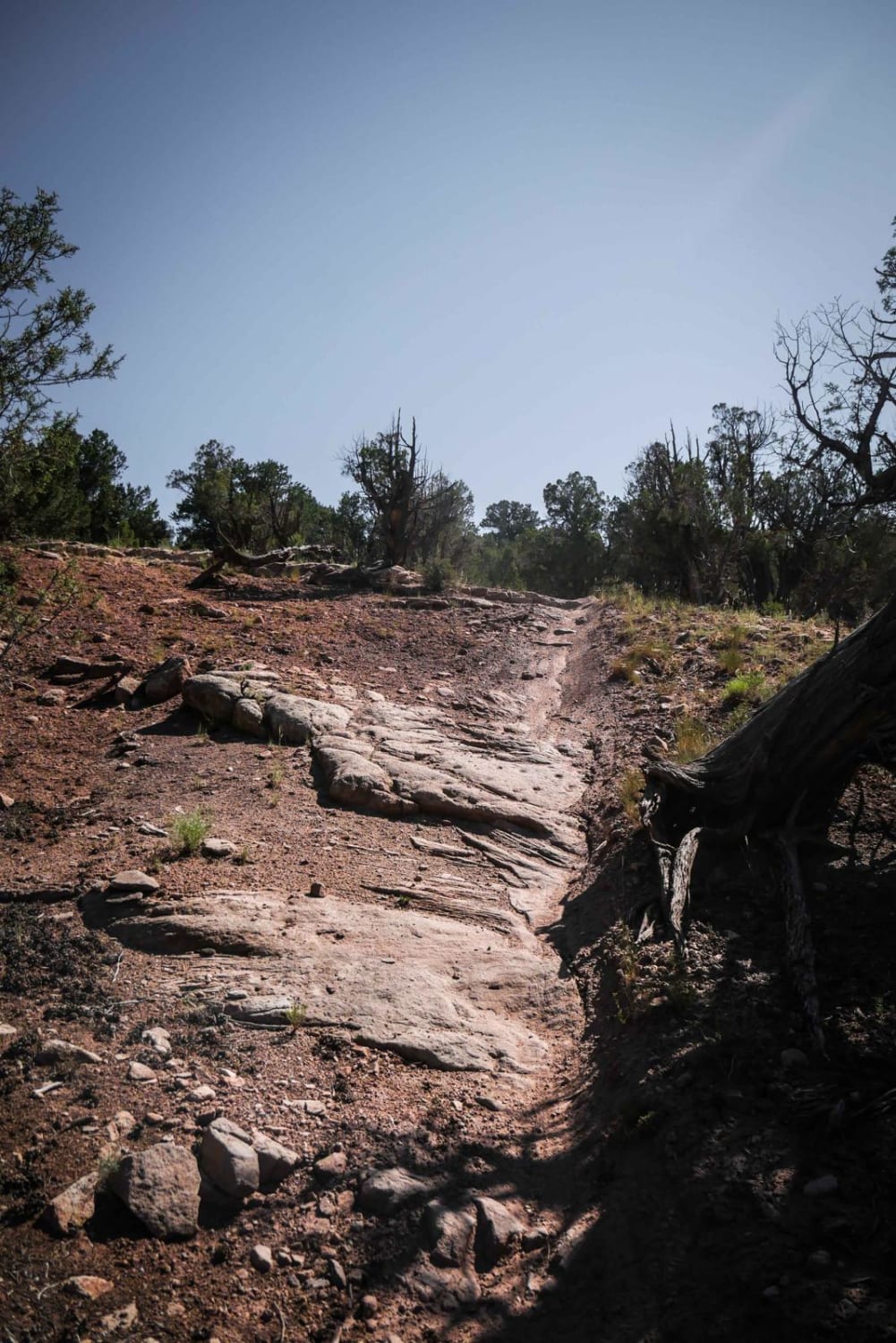
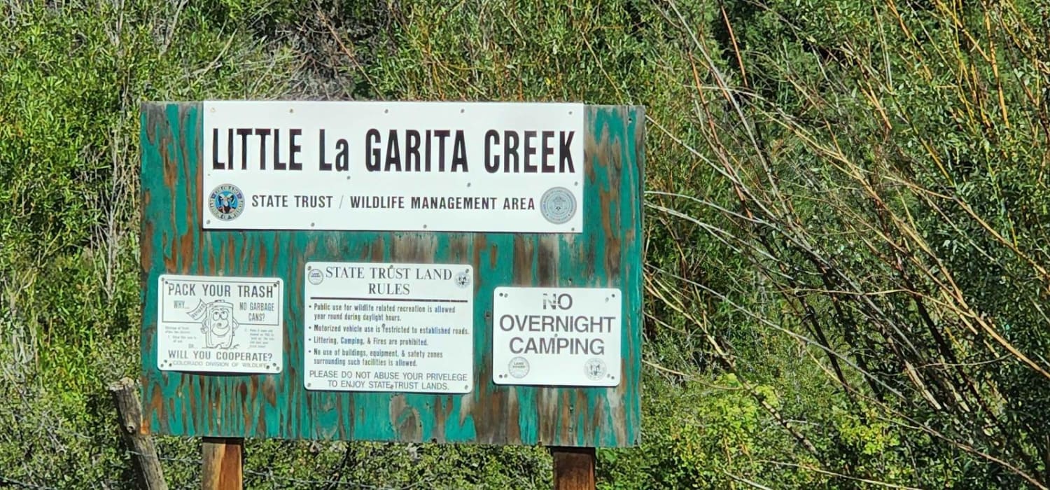
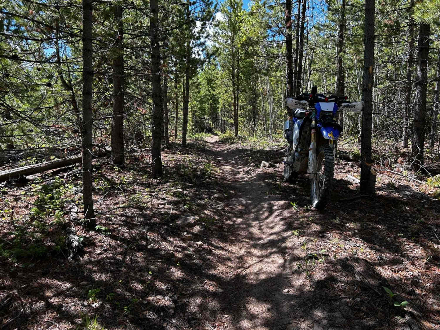
Photos of Pie Plant
Difficulty
The road is easy except for some mud holes and roots near the end.
History
The town was named for the Wild Rhubarb plant that grew in the area that was used to make pies. The stamping mill was the only one in the northern, upper part of Taylor Park and ore was brought in by burro train from neighboring mines. During the most prosperous period, around the turn of the 20th century, the mill had a capacity of 200 tons per day and employed 50 - 60 workers.
Pie Plant can be accessed by the following ride types:
- High-Clearance 4x4
- SUV
- SxS (60")
- ATV (50")
- Dirt Bike
Pie Plant Map
Popular Trails

Sportsman Road (FS 897)
Synder Creek Loop Northwest
The onX Offroad Difference
onX Offroad combines trail photos, descriptions, difficulty ratings, width restrictions, seasonality, and more in a user-friendly interface. Available on all devices, with offline access and full compatibility with CarPlay and Android Auto. Discover what you’re missing today!