Red Rocks- Night Horse Trail
Total Miles
6.5
Technical Rating
Best Time
Spring, Summer, Fall
Trail Type
Single Track
Accessible By
Trail Overview
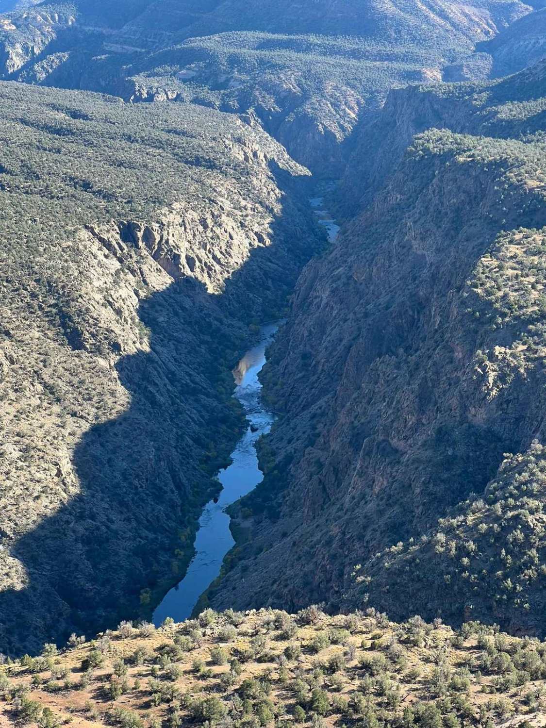
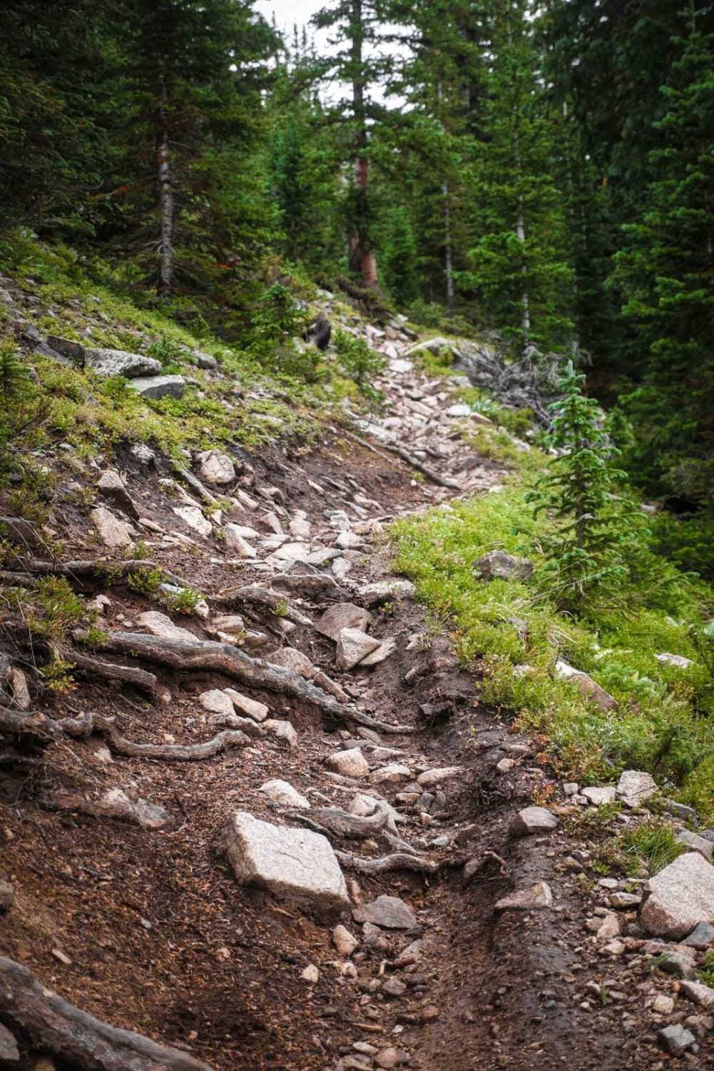
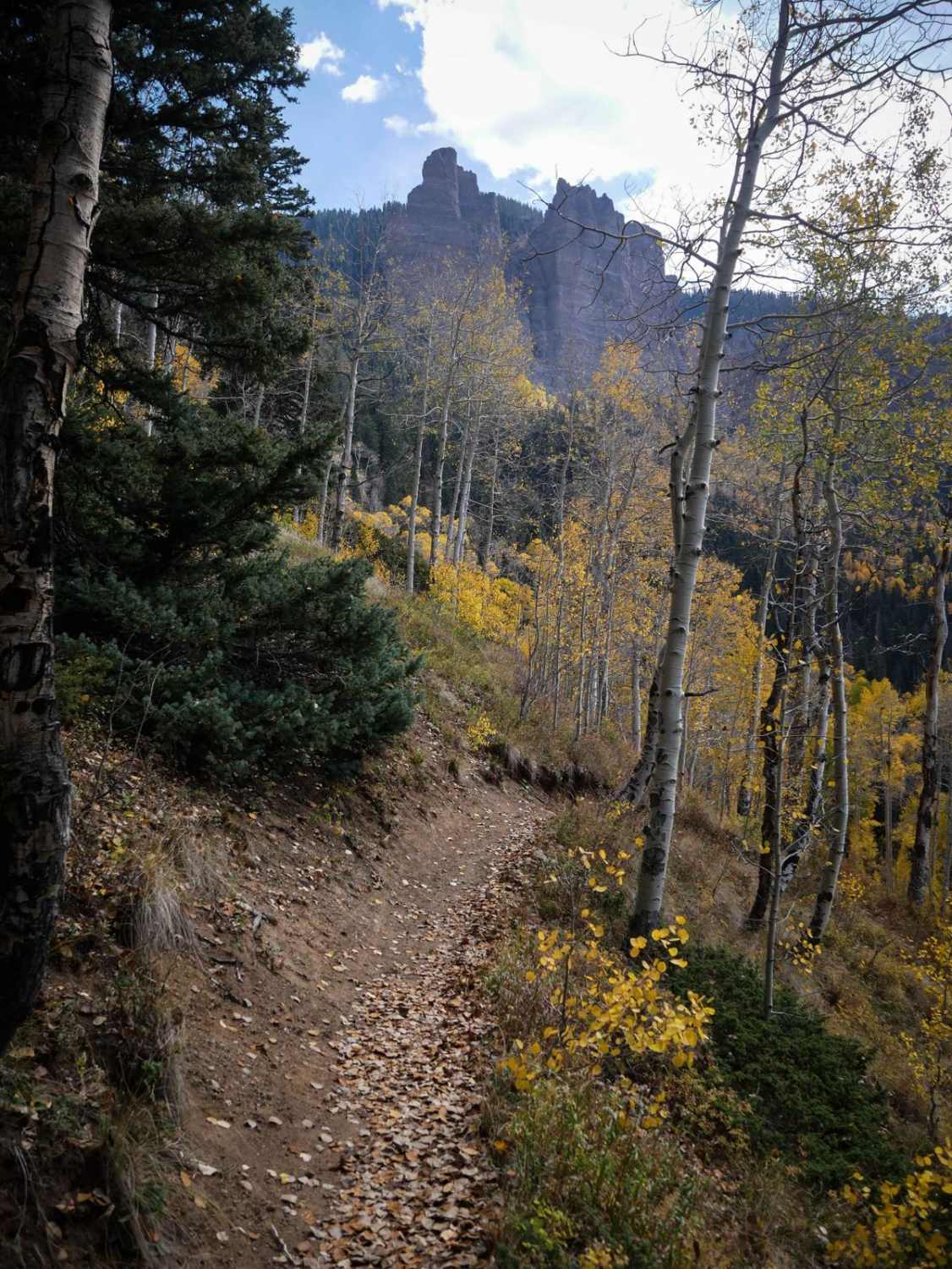
The 7-mile Red Rocks- Night Horse trail is technical in parts but also a very flowy trail that follows the Western Ridge above the Gunnison Gorge topping out at 7,088 feet with spectacular views of the Gunnison River and up into the Black Canyon of the Gunnison National Park. The views along this trail are nothing short of extraordinary. The trail itself offers some loose steep rocky terrain mixed in with some solid rock step-ups and downs with a lot of fast flow through the Juniper trees and Pinion Pines. The trail has a few bail-out spots. Bobcat Road, Duncan Road, and Dinosaur Road. But try your best to stick with this trail because the rewards are amazing!
Photos of Red Rocks- Night Horse Trail
Difficulty
Even though this is a flowy trail in most areas there are a few sections that you will need to use extreme caution and some help from your riding partners.
Status Reports
Red Rocks- Night Horse Trail can be accessed by the following ride types:
- Dirt Bike
Red Rocks- Night Horse Trail Map
Popular Trails
Smith Mountain Jeep Road Overlook
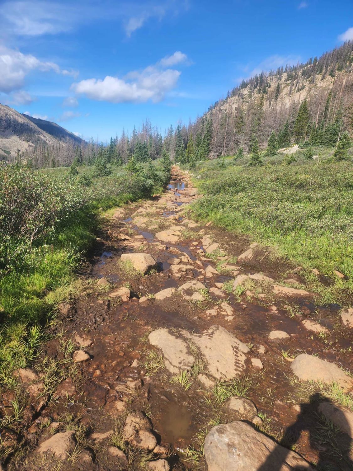
Williams Pass Trail
The onX Offroad Difference
onX Offroad combines trail photos, descriptions, difficulty ratings, width restrictions, seasonality, and more in a user-friendly interface. Available on all devices, with offline access and full compatibility with CarPlay and Android Auto. Discover what you’re missing today!

