Mount Elbert East Ridge
Total Miles
4.5
Technical Rating
Best Time
Spring, Summer, Fall
Trail Type
Full-Width Road
Accessible By
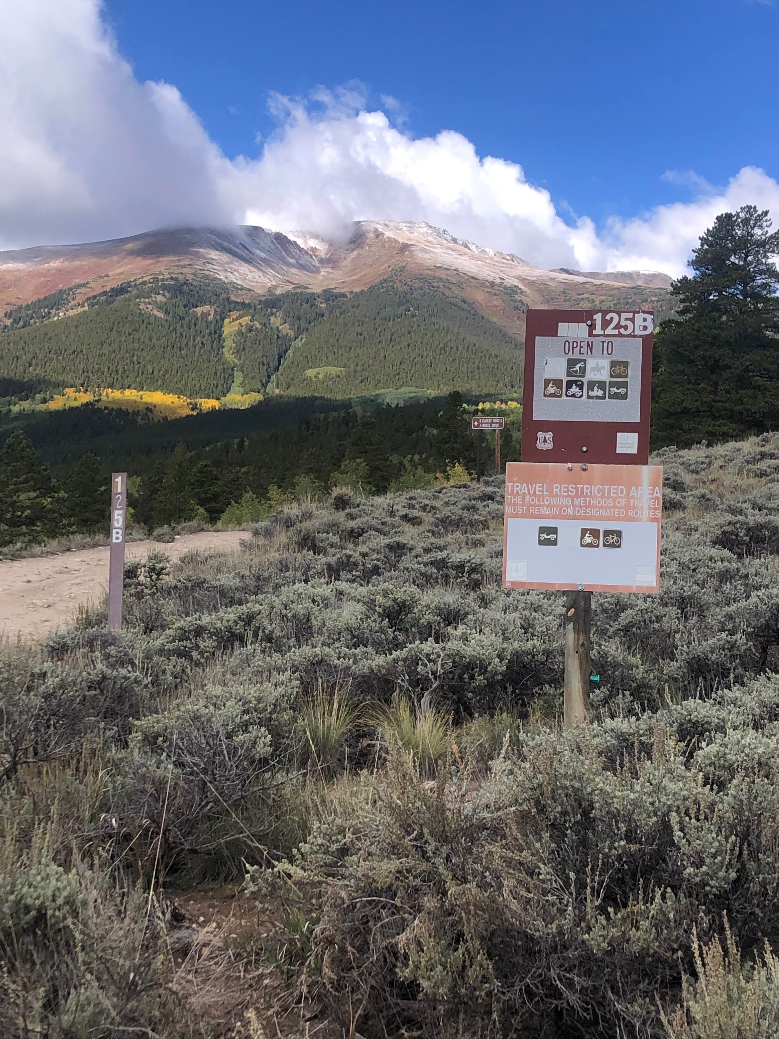
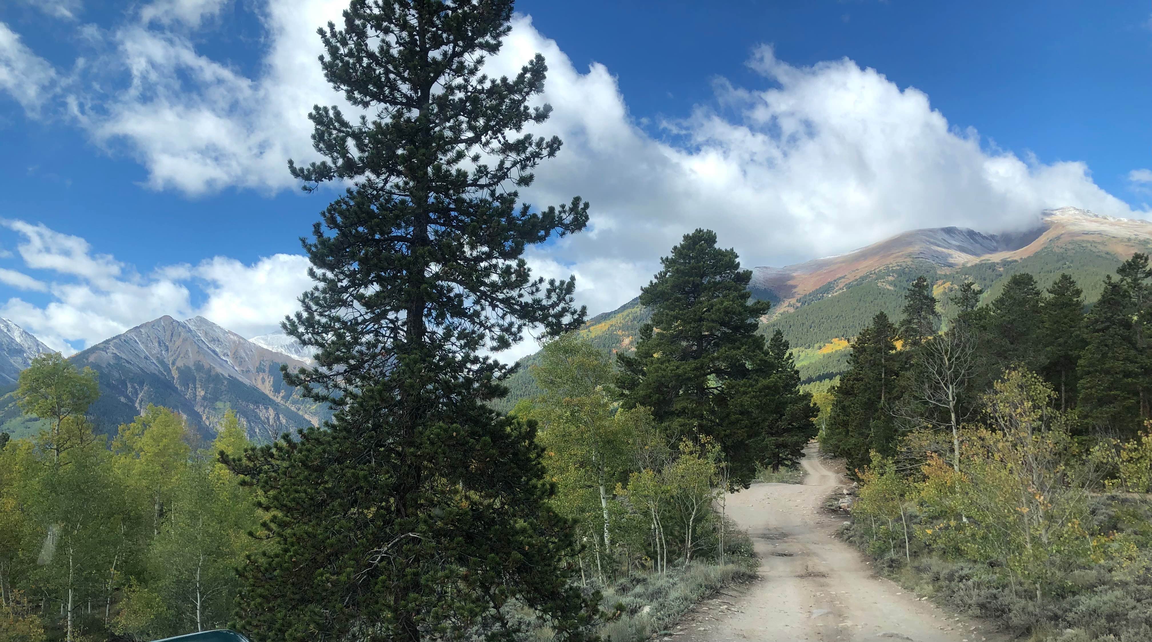
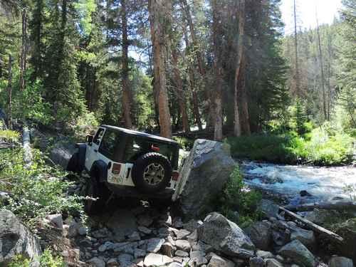
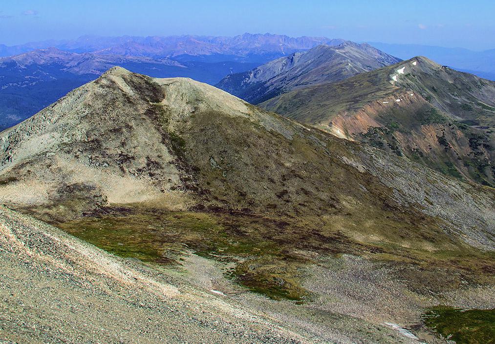
Trail Overview
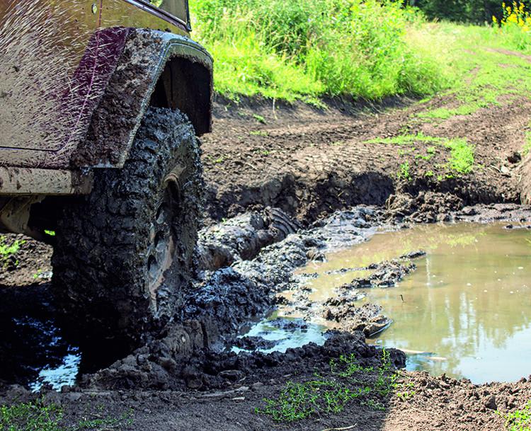
This is a one-lane road that starts fairly easy but becomes progressively more difficult as you wind through the beautiful aspen forest above Twin Lakes. Along the trail, there are several dispersed camping sites, some with spectacular views of the Twin Lakes valley. Mount Elbert Road ends at the Mount Elbert East Ridge trailhead. From there, you will head up Hollenback Road (FS 125.C), crossing a creek, passing abandoned mines, riding along a ledge road with sections of off-camber loose rock, all leading to an abandoned mine site and panoramic views at 12,500 feet elevation.
Photos of Mount Elbert East Ridge
Difficulty
This trail features a one-lane ledge road with no bypasses or turnouts, steep grades, loose rock, and off-camber sections.
Status Reports
Mount Elbert East Ridge can be accessed by the following ride types:
- High-Clearance 4x4
- SUV
- SxS (60")
- ATV (50")
- Dirt Bike
Mount Elbert East Ridge Map
Popular Trails

Richey Creek ATV Trail
Slaughterhouse Gulch
Peak 10 Breckenridge
Miller Creek Loop
The onX Offroad Difference
onX Offroad combines trail photos, descriptions, difficulty ratings, width restrictions, seasonality, and more in a user-friendly interface. Available on all devices, with offline access and full compatibility with CarPlay and Android Auto. Discover what you’re missing today!