Richey Creek ATV Trail
Total Miles
6.5
Technical Rating
Best Time
Spring, Summer, Fall
Trail Type
Single Track
Accessible By
Trail Overview
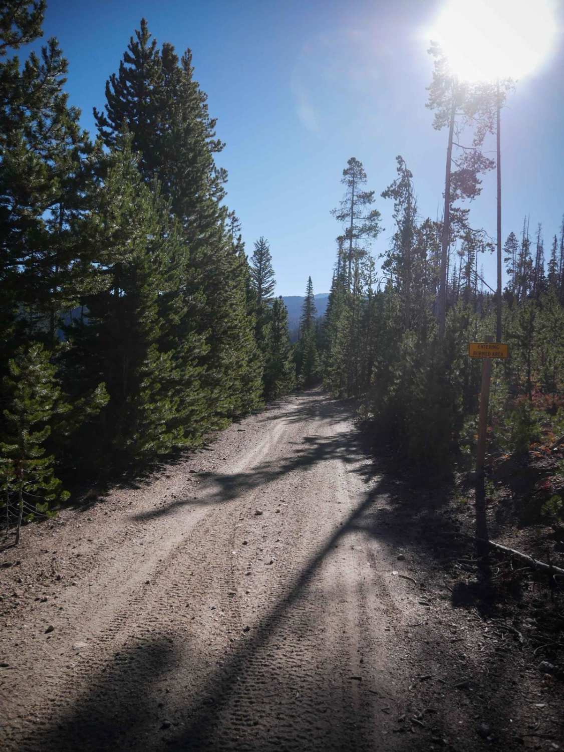
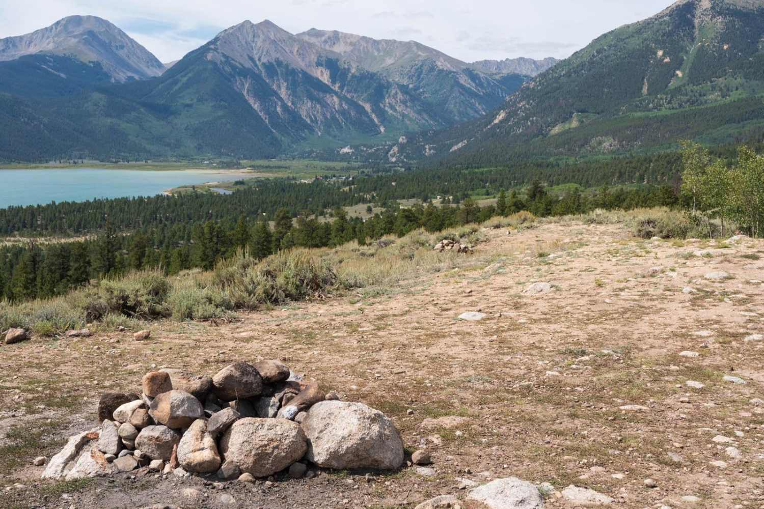
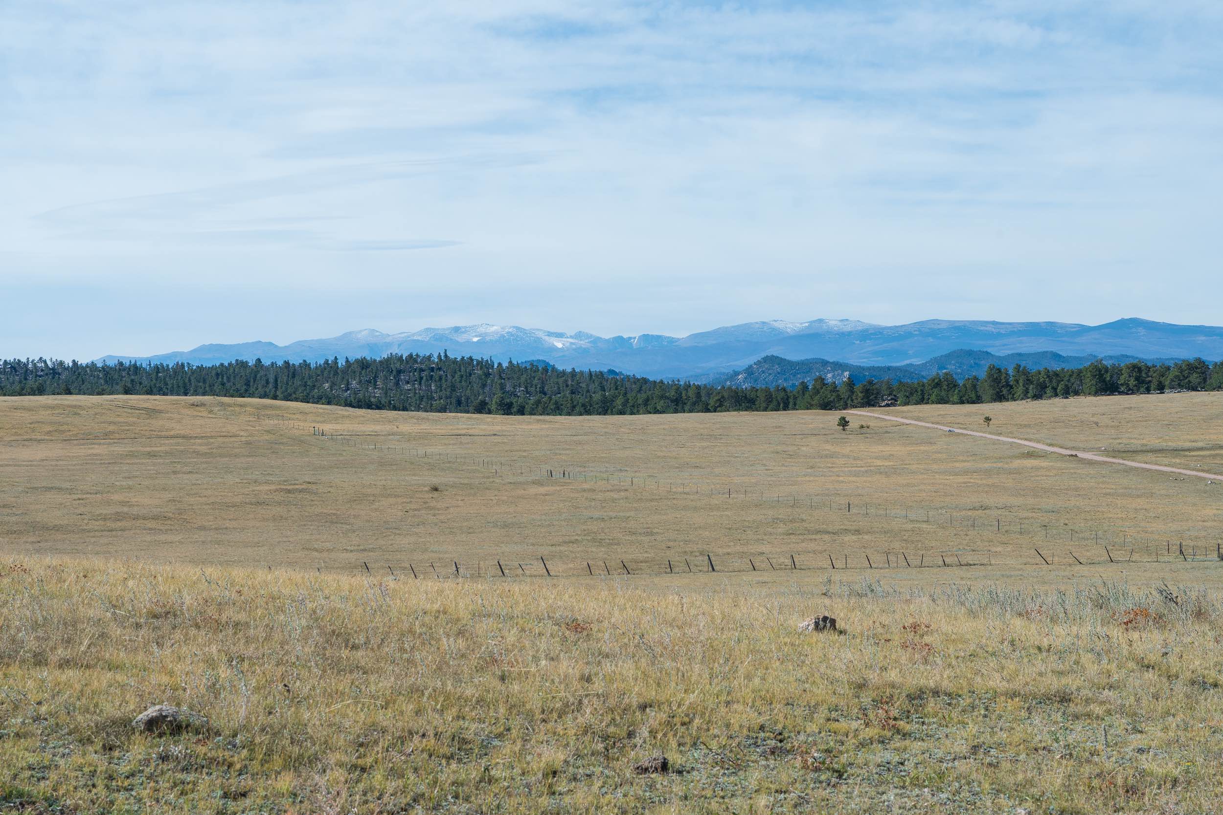
Richey Creek is a wide two-track through pine trees, with small loose rocks in the trail. It has easy curves as it follows the edge of the mountain, with lots of branches and cut logs sticking out from the trees that you need to watch out for. It crosses a little muddy section, and goes pretty straight and flat, so you can get going fast. It's shelfier as it gets higher up, then goes in and out of a burn area. The trail enters a burn area and gets a tad bit rockier as it climbs up the side of the mountain. When it leaves the burn area, it gets a bit tighter in the pine trees, windier with some switchbacks and a bit of embedded roots and loose rocks. It becomes a shelf road along the edge of the mountain. The trail goes back into the burn area and the trail in this section is more rutted. After 6.6 miles, the trail ends at a pinch point in the fence along a dirt road. This trial is open 6/16 - 11/14 to motorized use.
Photos of Richey Creek ATV Trail

Difficulty
This is an easy ATV trail that has features such as small ruts, small loose rocks in the trail, gradual switchbacks, and some tighter sections through the bushes.
Status Reports
Richey Creek ATV Trail can be accessed by the following ride types:
- Dirt Bike
Richey Creek ATV Trail Map
Popular Trails
Twin Lakes Dispersed Camping Area - FR 125.D
Chicken Park Traverse

Crooked Creek/ Tilly Road

Roll Over Ridge
The onX Offroad Difference
onX Offroad combines trail photos, descriptions, difficulty ratings, width restrictions, seasonality, and more in a user-friendly interface. Available on all devices, with offline access and full compatibility with CarPlay and Android Auto. Discover what you’re missing today!