Aron Floyd
Jul 21, 2026
2014 Jeep Wrangler
Open
NormalDusty
Great views, a few sticky spots. Lots of traffic coming from Leadville. We ran the trail east to west.
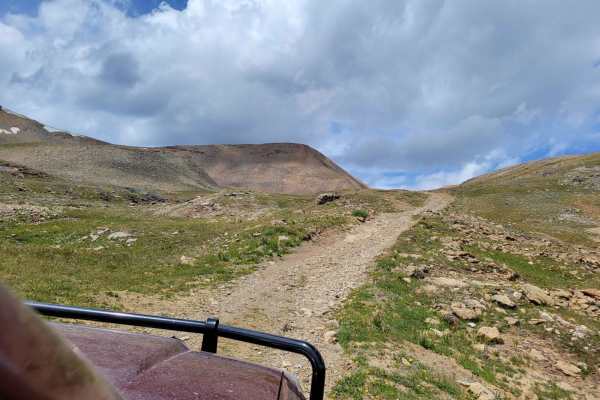
Jeremy Berg
Jul 21, 2026
Open
Normal
Good trail, some tricky spots. Ascended from Leadville and went into FairPlay. Was planning to have lunch at the summit pass, but it was increasingly windy that day.
G M
Jun 23, 2026
2020 Toyota Tacoma
Open
NormalRough/Deteriorated
Not much to add on top of others who have put out reports- great drive! Good conditions, no snow on the trail itself. Ran east to west ending at Leadville.
Very rocky (some loose) and lots of bouncing around, but had zero issues making the climb on a heavily loaded Tacoma running 33’s and a mild lift. Ran in 4L on some occasions for downhill engine braking but ran majority in 4H.
Some sections can be very tight for passing traffic you may not be able see coming.
Joe Caum
Jun 20, 2026
2014 Toyota Tundra
Open
NormalDusty
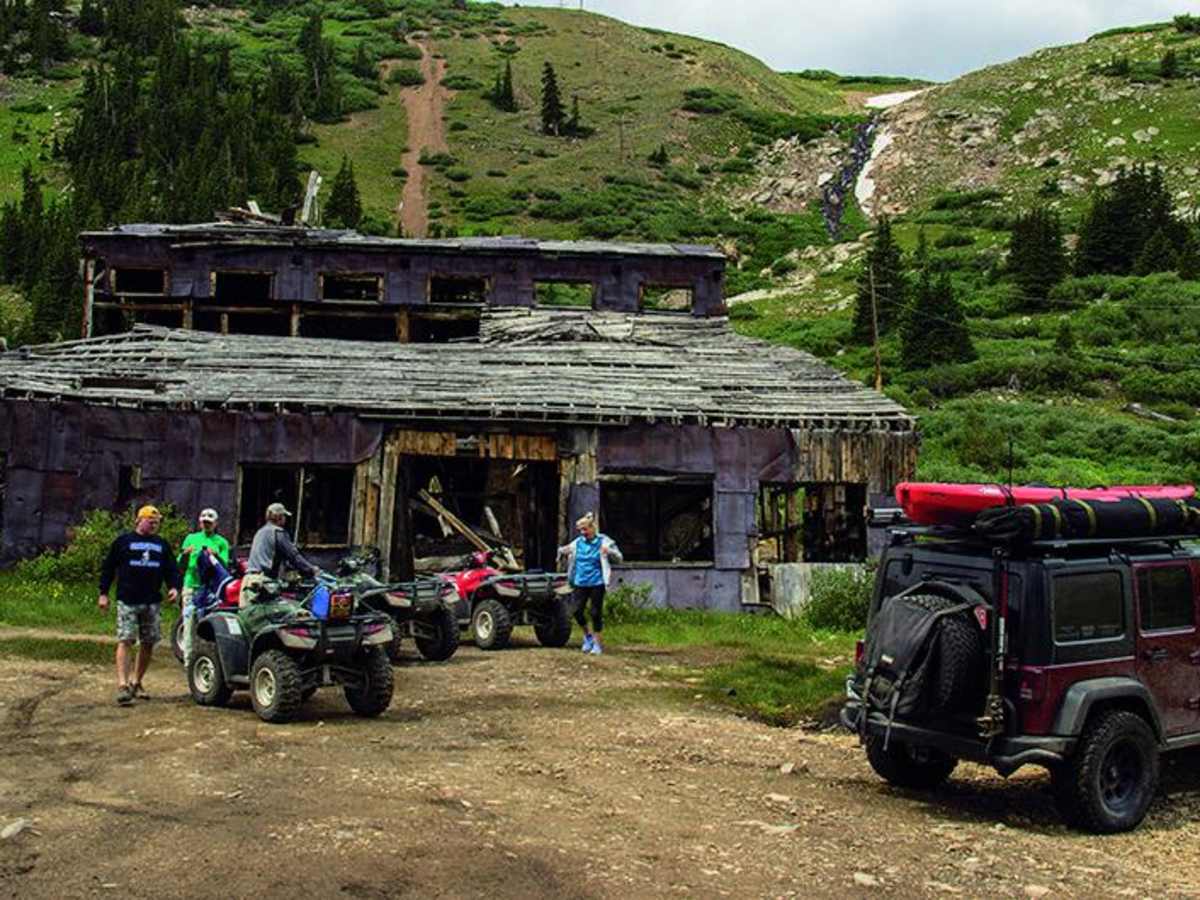
Alma to Leadville. Ascent was great, loose rocks and some small obstacles. Stoped to see Oliver Twist Lake & North London Mine. Track above the mine to the summit the was most difficult. Loose rocks and some off camber sections. Descent from summit to Leadville is tight. Passing oncoming vehicles can be tight. Tundra on 35s. Open diff.
Karen Daniel
Jun 19, 2026
2024 Ford Bronco
Open
Normal
Beautiful day for a drive from Leadville to Alma. Loose rocks pretty much the whole way which made for very slow going. Took longer than I would have liked. Decent view from the top. Glad I did it; probably won’t repeat though.
Xon Baker
Jun 14, 2026
2022 Toyota Tundra
Open
Made the drive from Leadville side in early afternoon. Slow crawling for most of the drive going over loose boulders. The second to last switchback on the west side of the pass was the most difficult part in a full sized tundra on 33’s. Doable but if you’re not keen on heights and steep drop offs not ideal. Overall a beautiful drive.
Ashley Flowers
Jun 14, 2026
2025 Ram 1500 rebel
Open
Rough/Deteriorated
Completed Mosquito Pass yesterday from Leadville-Alma in my stock Ram 1500 Rebel. Saw no other vehicles, probably due to starting around 4pm. The switchbacks near the peak on the Leadville side are either eroded or have some new larger rocks in the way, got close to being high centered. Skid plates and a cool head were key, as the trail was narrow with no other line. High wind and snow flurries at the top of the pass. Snow on the ground on the Alma side near the peak. Mildly washed out due to snow melt on the Alma side lower down. Overall beautiful views but felt more difficult than the current rating in several sections.
Alex Fischer
Jun 14, 2026
Open
Rough/Deteriorated
Went from Leadville to Alma. Snow by the mine on the East side of the pass, easy to go around. Made it over in a stock 4runner with armor getting a few dings but went faster than I should have. Basically an empty trail, only saw one other truck and some SxS's.
goodyt c
Jun 13, 2026
2023 Toyota 4Runner
Open
G2g fully open. Tons of snow at North London Mine but you can go around it to continue on trail. Only one other snow spot one mile north of that covering a good portion of the trail, you can go around it but it’s off camber, one slight miscalculation and your driver door slams into a large boulder and your car can roll easy, my driver side was on rock and passenger side was on slush. No more snow after that, made it from start to finish starting at Oliver Twist Lake
GS Pettijohn
Jun 01, 2026
Obstructed
Deep Snow
From the east, snow completely blocks the road at North London Mine site. There were melted tracks across the snow but at 4pm it was complete mush. Might be passable at sunrise with hard frozen snow. The shelf appeared to have a track for the low side tires. I could not see past the sharp bend to the south where the road passes through the saddle.
#Evolve Anyways
May 24, 2026
2025 Toyota Tacoma Trail Hunter
Temporarily Closed
Posted Sign
Gate closed
Stephen Calovich
Mar 30, 2026
2023 Ford Bronco
Obstructed
Deep Snow
Signs leading up say the pass is open, but we didn't make it much further than the london mill where the road splits between Pirate Road and Mosquito pass. Deep snow as to be expected. Looks like someone tried but didn't make it far.
Patrick K
Jan 07, 2026
Temporarily Closed
Seasonal ClosureClosed Gate
No signs,just a closed gate.
randy Ivie
Oct 19, 2025
2004 Volkswagen Touareg
Open
Rough/Deteriorated
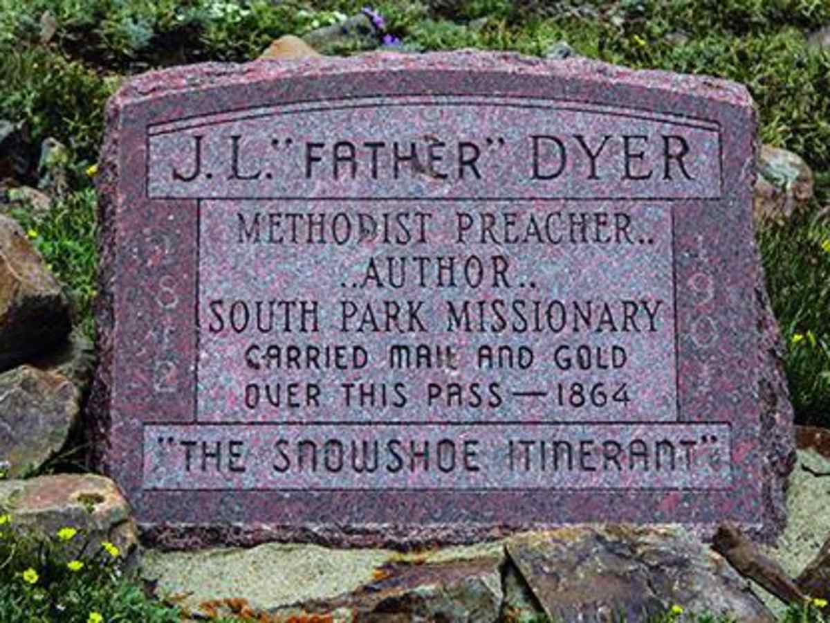
My friend and I gained great experience and confidence in our vehicles on this trail. It was equally challenging and rewarding with sight seeing. The rocky obstacles were best handled with aired down tires and I had to be quite specific with my tire placement in many instances. Great history and remnants of a mine. We bypassed the Eisenhower tower tunnel with this trail and made it from Leadville to Alma then to Denver.
Jonathan Garcia
Oct 11, 2025
2021 Ford Bronco
Open
NormalMuddy/Wet
Trail in good condition. Some drizzle on and small pockets of snow off the trail. Moose present on east side. Very cold at the top, and some water flowing down in small streams.