Hayden Gulch
Total Miles
5.1
Technical Rating
Best Time
Spring, Fall, Summer
Trail Type
Full-Width Road
Accessible By
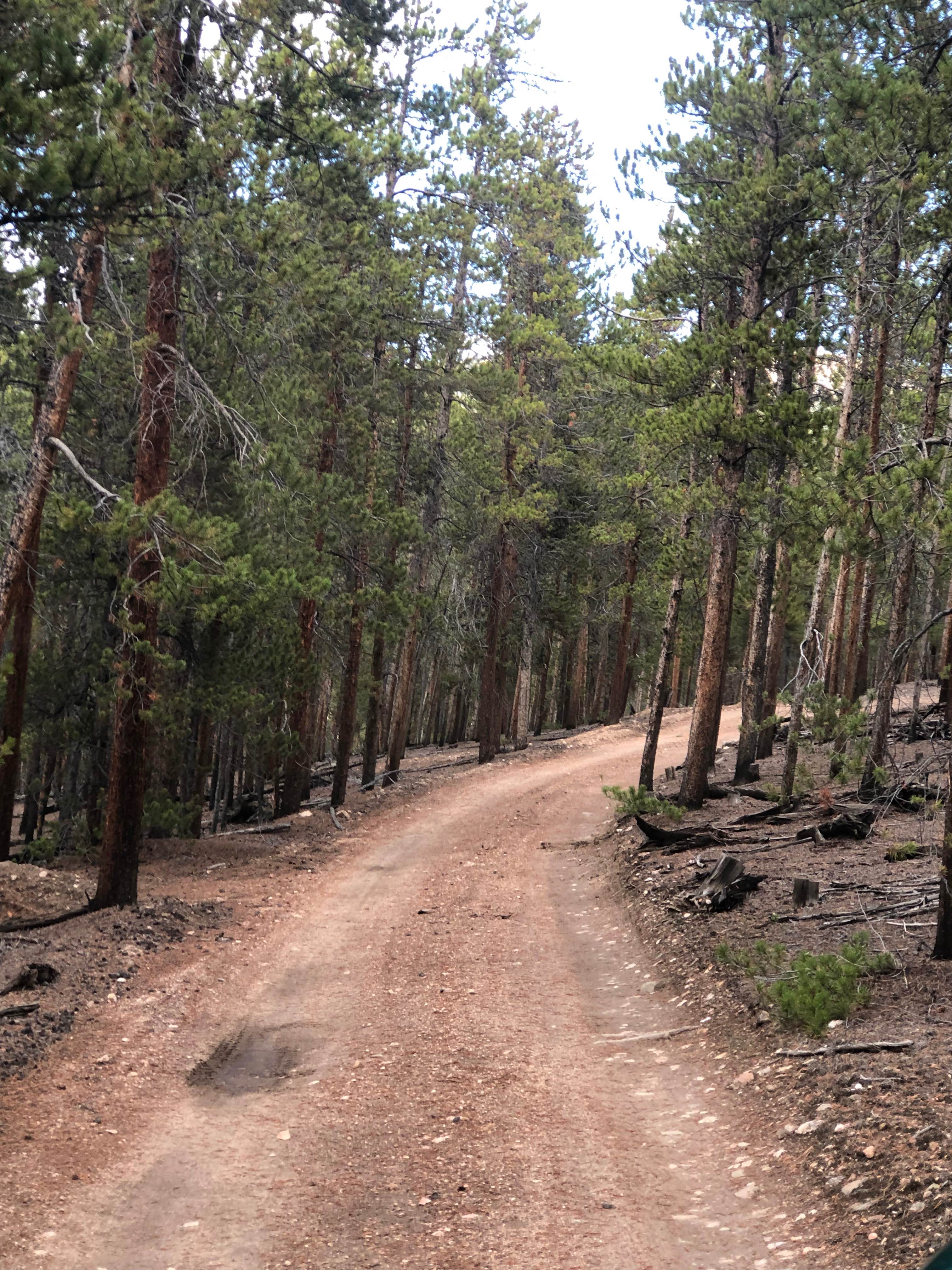
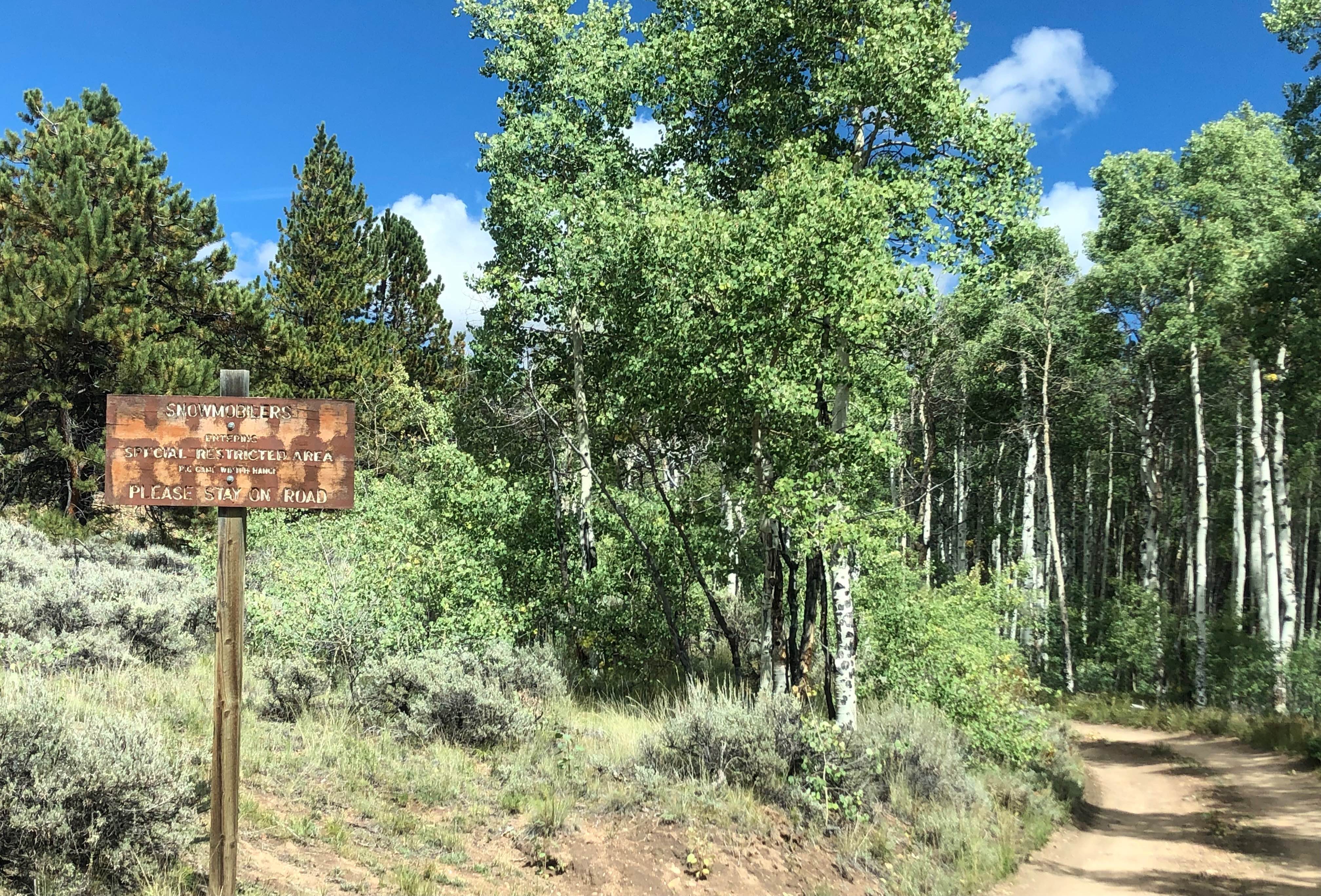
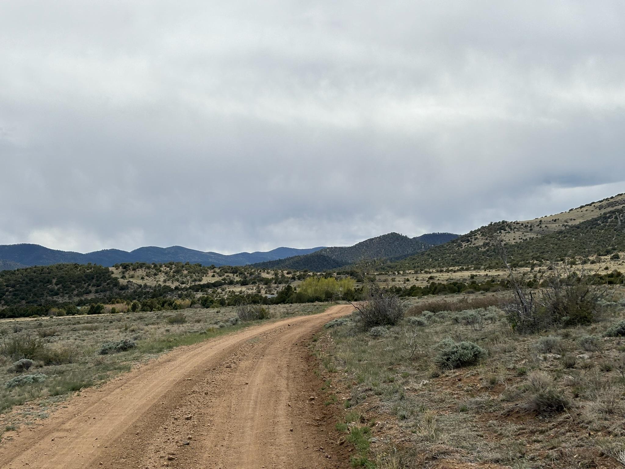
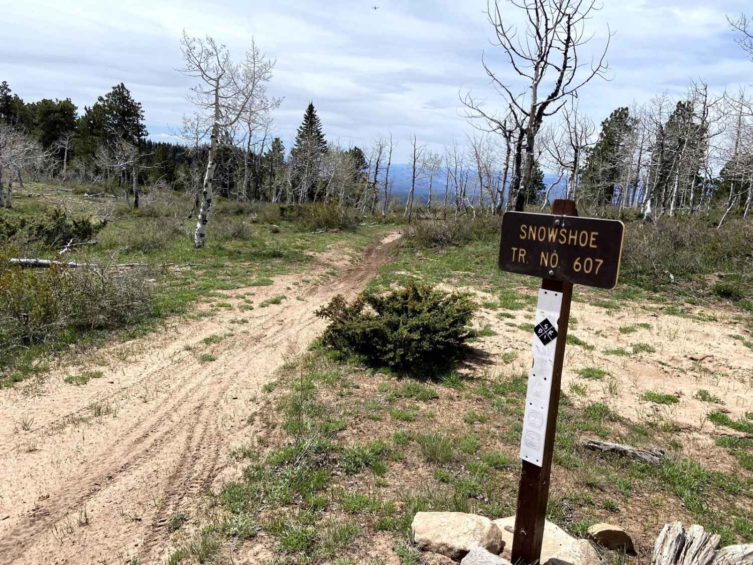
Trail Overview
This well-maintained road allows for two-way traffic and winds through Bureau of Land Management terrain before entering the San Isabel National Forest. It ends at the Hayden Gulch Trailhead near the boundary of the Buffalo Peaks Wilderness. Only a few dispersed camping sites are noticeable along the route.
Photos of Hayden Gulch
Difficulty
This road is well-maintained, and suitable for just about any vehicle.
Status Reports
Hayden Gulch can be accessed by the following ride types:
- High-Clearance 4x4
- SUV
- SxS (60")
- ATV (50")
- Dirt Bike
Hayden Gulch Map
Popular Trails
Kelly Creek Cutoff

Plum Creek Road
Picayune & Placer Gulches
The onX Offroad Difference
onX Offroad combines trail photos, descriptions, difficulty ratings, width restrictions, seasonality, and more in a user-friendly interface. Available on all devices, with offline access and full compatibility with CarPlay and Android Auto. Discover what you’re missing today!