Woodchute Trail
Total Miles
5.5
Technical Rating
Best Time
Summer, Fall
Trail Type
Full-Width Road
Accessible By
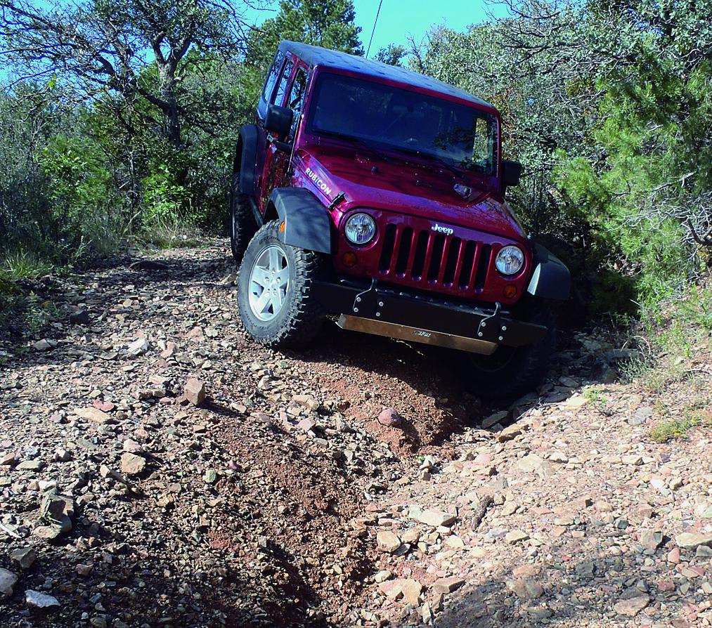
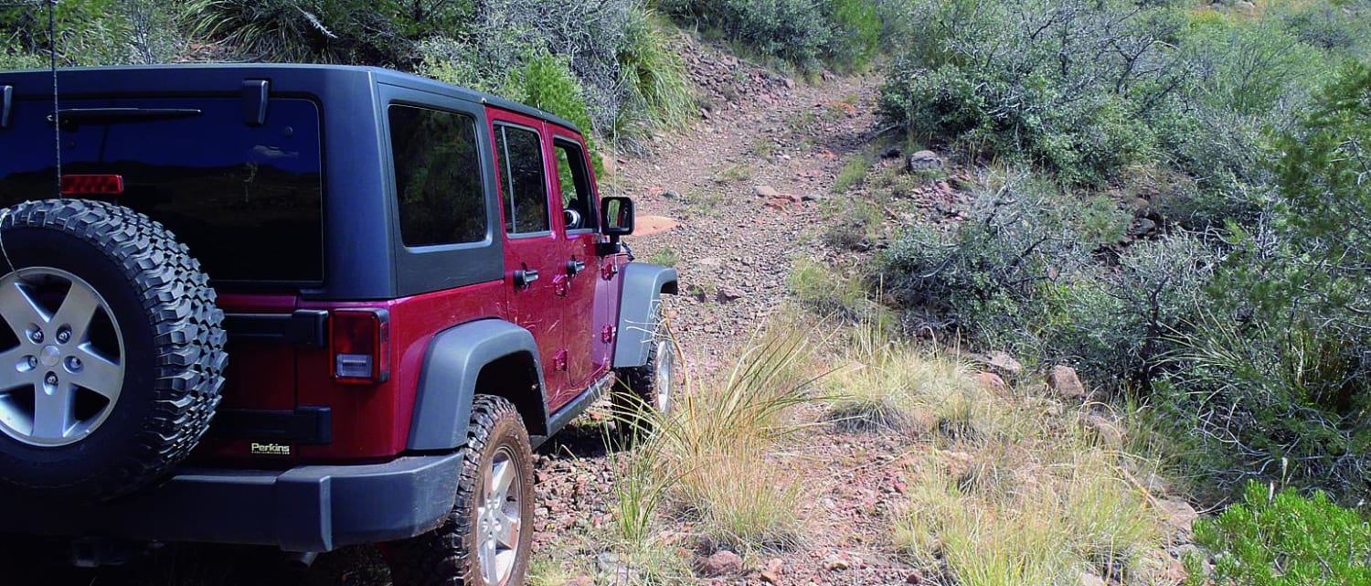
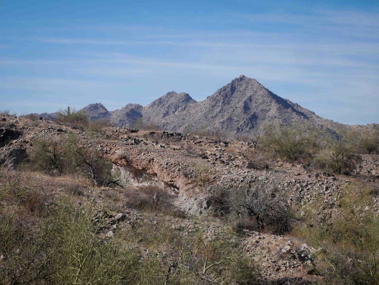
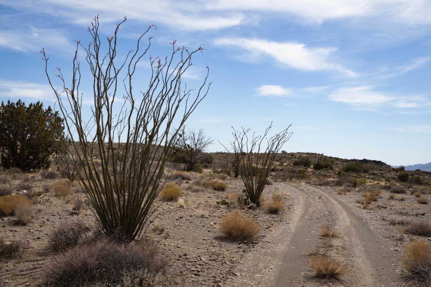
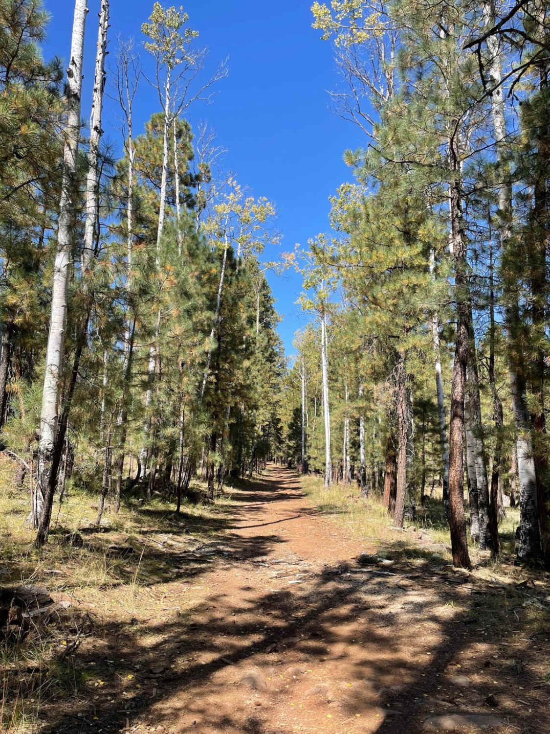
Trail Overview
Start your route to Woodchute Trail by climbing through the historic minig town of Jerome, a bustling art and tourism hub with great restaurants. Continue on 89A to the base of Woodchute Mountain at 7,860 feet. You'll keep climbing up Woodchute and then enjoy a twisty, windy trail. Take a break to step through the trees and witness the gorgeous views of Verde Valley. This is a fun trail for ATVs and side-by-sides.
Photos of Woodchute Trail
Difficulty
Moderate: Rutted, steep, and narrow with tight brush and tippy spots. Suitable for stock SUVs with high ground clearance and low-range gearing. Expect brush marks.
Status Reports
Woodchute Trail can be accessed by the following ride types:
- High-Clearance 4x4
- SUV
- SxS (60")
- ATV (50")
- Dirt Bike
Woodchute Trail Map
Popular Trails
Bajada Loop, Saguaro NP
The onX Offroad Difference
onX Offroad combines trail photos, descriptions, difficulty ratings, width restrictions, seasonality, and more in a user-friendly interface. Available on all devices, with offline access and full compatibility with CarPlay and Android Auto. Discover what you’re missing today!