FS 725
Total Miles
2.3
Technical Rating
Best Time
Spring, Summer, Fall
Trail Type
Full-Width Road
Accessible By
Trail Overview
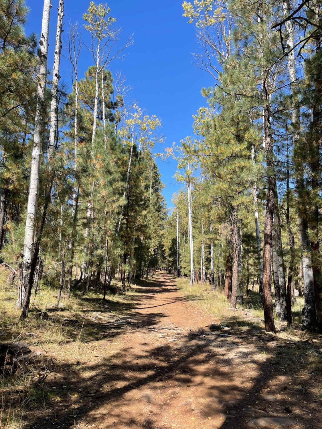
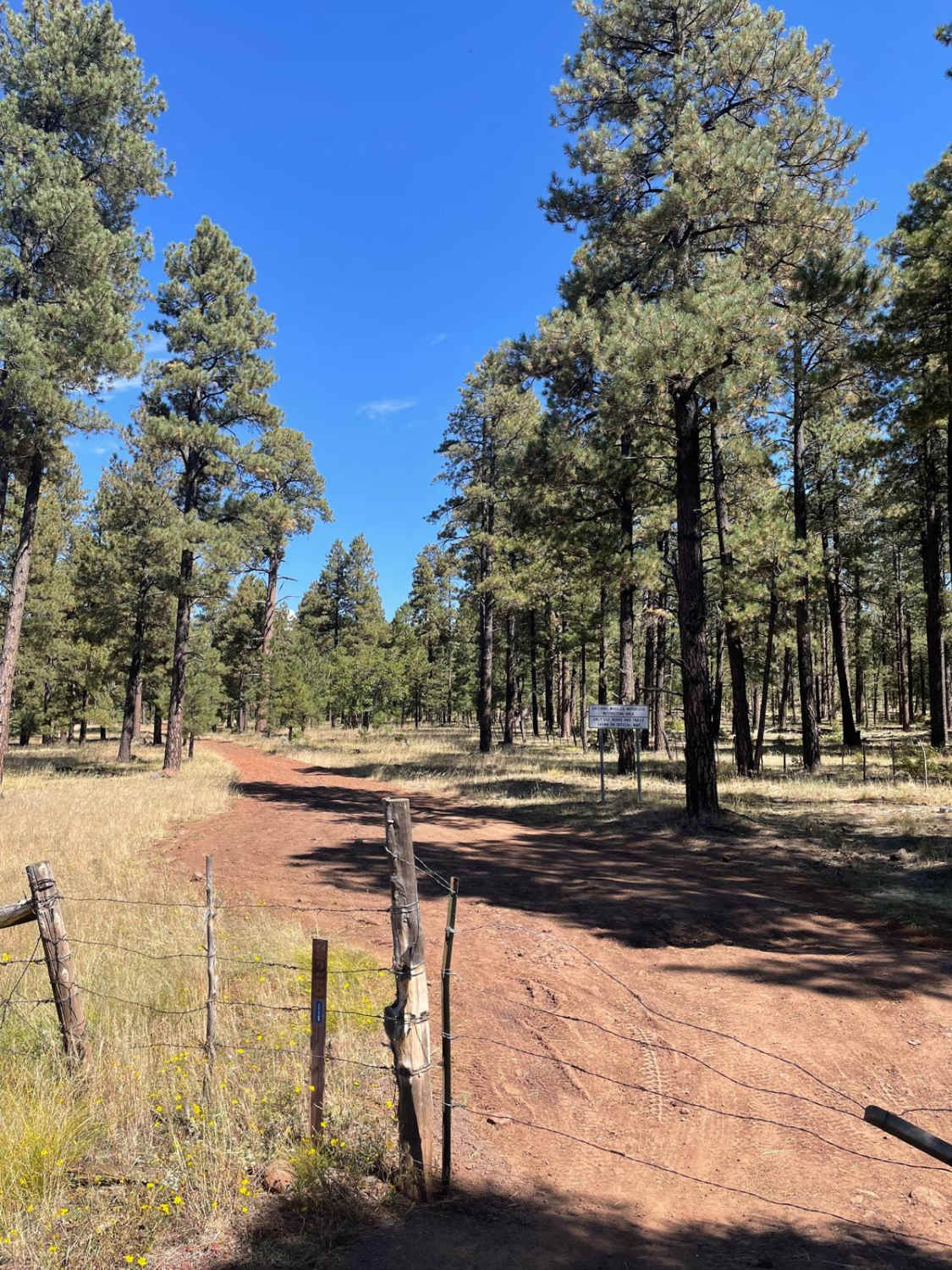
Forest Service Road 725 is just over 2 miles long and connects with Forest Service Road 124 and Forest Highway 3. The Southern part of this trail has the rockiest areas. There are also a few areas in this Southern section that have evidence of mud holes after a good rain. The most rocky section of this trail is where the road goes between large rocky outcroppings on each side of the road. This area is just before the trail runs right next to private property. After passing this private property, the trail mellows out and turns into an easy-going dirt trail. There are scattered aspens nestled around the ponderosa along the trail. This trail ends to the North at a junction with Forest Service Road 124.
Photos of FS 725
Difficulty
Expect an uneven, rocky, and rutted dirt trail with some potential for mud holes.
Status Reports
FS 725 can be accessed by the following ride types:
- High-Clearance 4x4
- SUV
- SxS (60")
- ATV (50")
- Dirt Bike
FS 725 Map
Popular Trails

Black Mountain West
Prairie Slide
Sabado Diez
The onX Offroad Difference
onX Offroad combines trail photos, descriptions, difficulty ratings, width restrictions, seasonality, and more in a user-friendly interface. Available on all devices, with offline access and full compatibility with CarPlay and Android Auto. Discover what you’re missing today!
