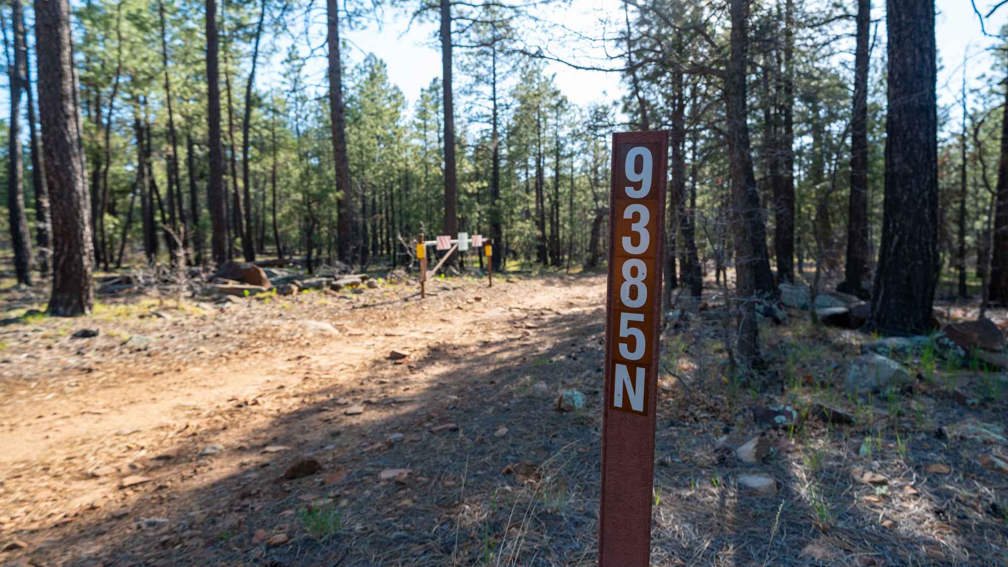
FS 9385N
Total Miles
2.0
Technical Rating
Best Time
Spring, Summer, Fall, Winter
Trail Type
Full-Width Road
Accessible By
Trail Overview
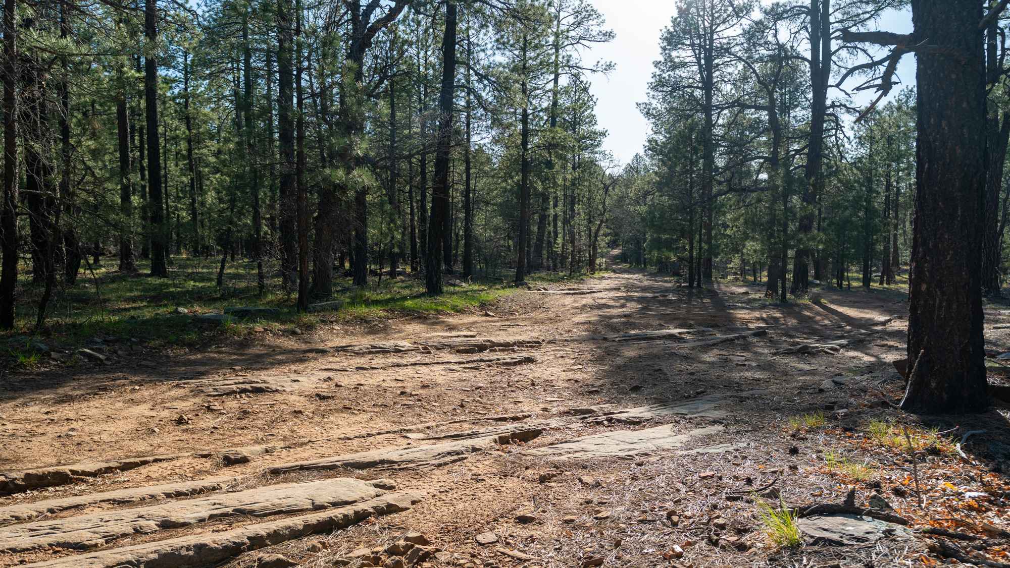
This trail starts very rocky with long slab rock ledges running across the road, creating an uneven and bumpy surface right from the beginning. After the initial stretch, it transitions into a smoother but still rocky forest road as you pass the parking area for Dickinson Flat, a large open meadow. You might want to take a closer look at the open field on the satellite map to see how many miles it is to Phoenix. The mileage is spelled out in white rocks. As the route continues, vegetation begins to close in, and the pine trees tighten around the trail, creating narrower sections. The trail alternates between exposed rock, smoother dirt, and tight tree corridors, with frequent rolling dips and washouts along the way. Just before the end, there is a large downed tree blocking the road, and the trail finishes at a small campsite without a direct view over the rim.
Photos of FS 9385N
Difficulty
This trail is rated 3/10 due to the rocky slab sections, uneven terrain, and repeated washouts that require steady driving and careful line choice. While not extreme, high clearance is recommended, and drivers should be comfortable with a consistently rough surface.
Status Reports
FS 9385N can be accessed by the following ride types:
- High-Clearance 4x4
- SUV
- SxS (60")
- ATV (50")
- Dirt Bike
FS 9385N Map
Popular Trails


Sim's Trail
Black Canyon Trail

Backside Black Mountain Range - B1688
The onX Offroad Difference
onX Offroad combines trail photos, descriptions, difficulty ratings, width restrictions, seasonality, and more in a user-friendly interface. Available on all devices, with offline access and full compatibility with CarPlay and Android Auto. Discover what you’re missing today!