Middle South
Total Kilometers
15.4
Technical Rating
Best Time
Spring, Summer, Fall, Winter
Trail Type
Full-Width Road
Accessible By
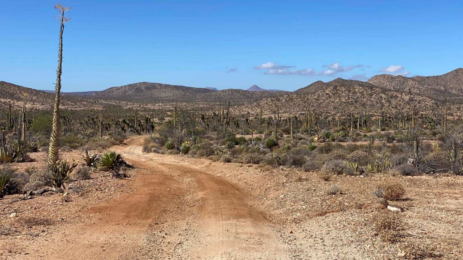
Trail Overview
This rugged trail begins along Highway 1 and is one of only two routes that connects to Middle Road. The path starts on firm ground, but quickly shifts to soft sand about 4 to 6 inches deep, with medium-sized ruts up to 18 inches from past races. After a few initial miles, the terrain firms up again, but the trail soon presents steep, rocky climbs and sections scarred by deep rainwater crevices that demand precise wheel placement. At roughly the five-mile mark, you enter the Valle de los Cirios, where towering boojum trees, cacti, and dense desert flora create an otherworldly landscape. This area is rich in wildlife, including lizards, rattlesnakes, and scorpions. At the trail's end, you can either turn right onto Middle North to return to Highway 1 or press on for a remote 20-mile journey to the coastal route. If you choose to proceed, be aware that this leg is isolated and requires carrying long-range fuel reserves.
Photos of Middle South

Difficulty
This trail features only a few challenging sections, but the first few miles of deep sand and moderate ruts may require you to air down for better traction. Around the 4-5 mile mark, you'll encounter a couple of steep, rocky hills that likely call for four-wheel drive. These hills are short yet narrow, with rain-carved ruts up to 24 inches deep on one side. Careful wheel placement is essential here to navigate safely and avoid potential self-recovery.
Status Reports
Middle South can be accessed by the following ride types:
- High-Clearance 4x4
- SUV
- SxS (60")
- ATV (50")
- Dirt Bike
Middle South Map
Popular Trails

Mesa Colorado to El Hongo

Ruta La Presa

La Providencia to Iglesia de la Playa

Middle Cross
The onX Offroad Difference
onX Offroad combines trail photos, descriptions, difficulty ratings, width restrictions, seasonality, and more in a user-friendly interface. Available on all devices, with offline access and full compatibility with CarPlay and Android Auto. Discover what you’re missing today!