La Providencia to Iglesia de la Playa
Total Kilometers
8.6
Technical Rating
Best Time
Spring, Summer, Fall, Winter
Trail Type
Full-Width Road
Accessible By
Trail Overview
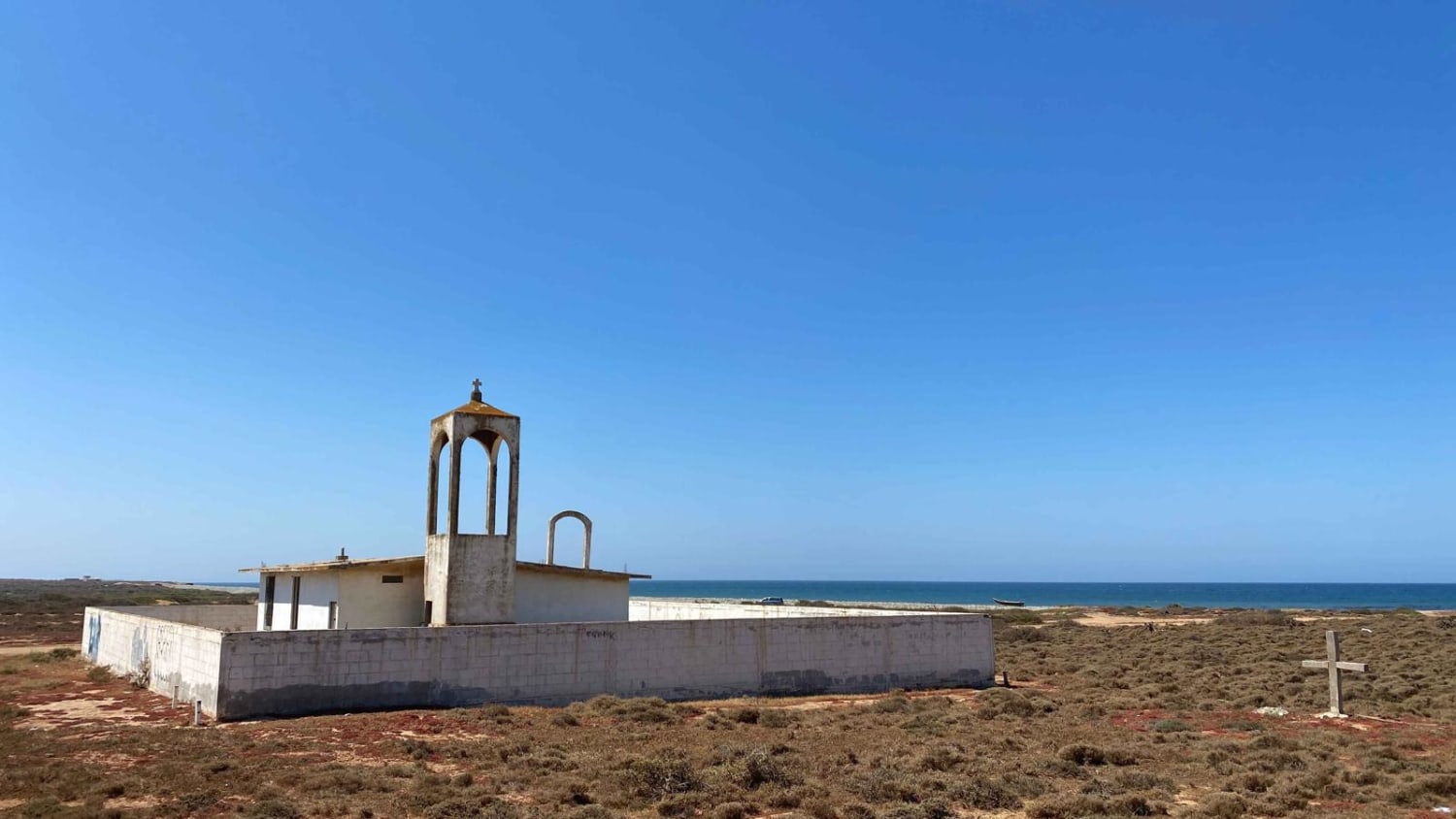
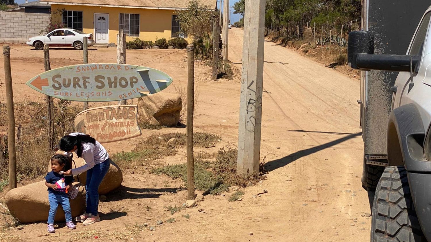
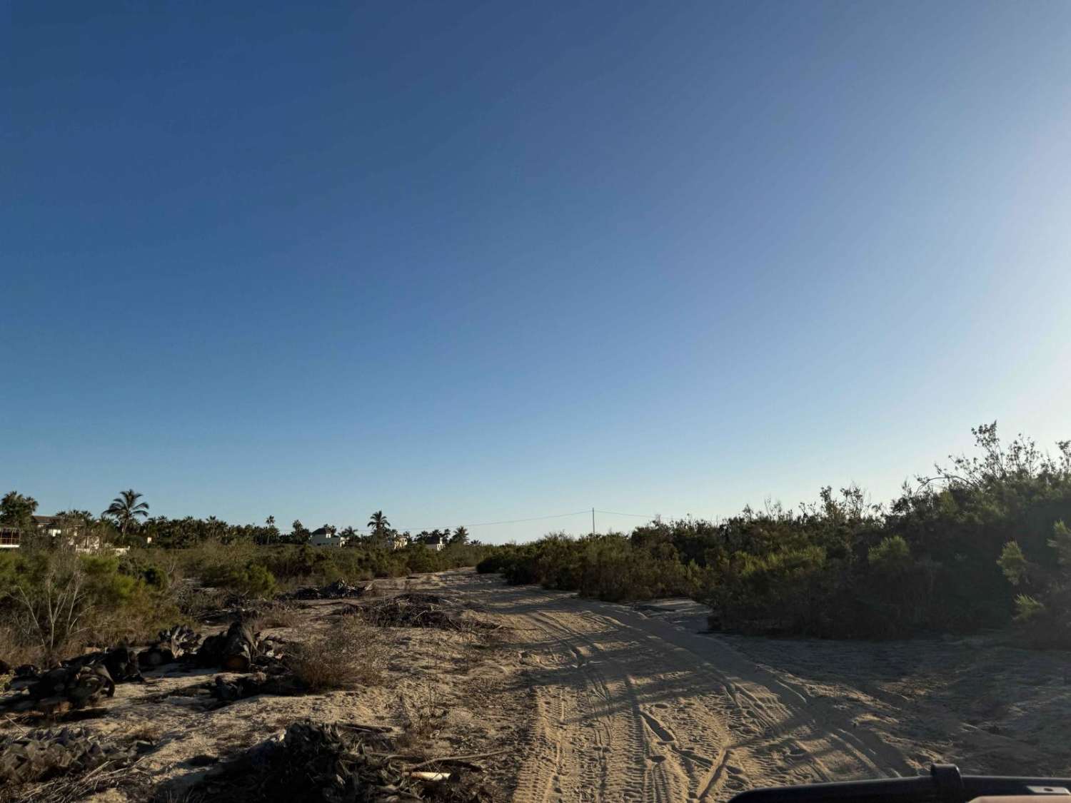
This route provides easy access for all types of vehicles from Highway One to the Coastal Trail. To embark on this route, locate the road adjacent to the surf shop near the intersection of Highway One and the road leading to the observatory. As you head south for approximately one mile, you'll notice the washboard surface of the road smoothening out, indicating your departure from the town outskirts and the beginning of a journey through farmlands and ranches. Upon reaching the fork where the coastal route intersects, take the right turn onto Santo Tomas to the San Vicente trail. After a short distance, you will arrive at a church located on the beach, just a few hundred yards ahead. From there, you have the option to explore the coastal route in either the north or south direction, which offers a multitude of camping sites and excellent fishing opportunities. If you require information about the nearest surfing spot, you can make a stop at the surf shop for detailed guidance.
Photos of La Providencia to Iglesia de la Playa
Difficulty
This is not a difficult trail for most any 2WD vehicle.
La Providencia to Iglesia de la Playa can be accessed by the following ride types:
- High-Clearance 4x4
- SUV
- SxS (60")
- ATV (50")
- Dirt Bike
La Providencia to Iglesia de la Playa Map
Popular Trails

Francisco Villa Loop
Whale Bone Road

La Rumorosa to Laguna Hanson Trail

Ejido 27 de Enero Loop
The onX Offroad Difference
onX Offroad combines trail photos, descriptions, difficulty ratings, width restrictions, seasonality, and more in a user-friendly interface. Available on all devices, with offline access and full compatibility with CarPlay and Android Auto. Discover what you’re missing today!