Spruce
Total Miles
6.2
Technical Rating
Best Time
Spring, Summer, Fall, Winter
Trail Type
Full-Width Road
Accessible By
Trail Overview
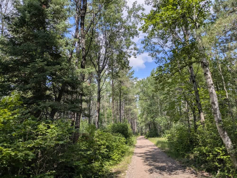
This trail is accessed directly from Highway 1 and begins as a wide, well-maintained gravel road. Due to frequent use by residents, an outdoor school, and recreational traffic, the surface is heavily corrugated in places. Several side trails branch off from the main route, including snowmobile trails and access routes to nearby properties. A designated canoe portage provides access to the Boundary Waters Canoe Area Wilderness, with a main parking area and overflow parking available nearby. As the trail continues, it reaches a split where the conditions change notably. The road narrows and begins to climb and descend through rocky terrain, with large muddy potholes scattered along the route. Before the second split, a cleared area appears suitable for dispersed camping, but no amenities are provided. Beyond this point, the trail continues down to connect with the Prospectors Trail. It's a scenic drive through dense forest, but those traveling here should come prepared, as there are no formal campsites, trash disposal, or water facilities. Cell service is likely to be limited, and begins as a wide, well-maintained gravel road. Due to frequent use by residents, an outdoor school, and recreational traffic, the surface is heavily corrugated in places. Several side trails branch off from the main route, including snowmobile trails and access routes to nearby properties. A designated canoe portage provides access to the Boundary Waters Canoe Area Wilderness, with a main parking area and overflow parking available nearby. As the trail continues, it reaches a split where the conditions change notably. The road narrows and begins to climb and descend through rocky terrain, with large muddy potholes scattered along the route. Before the second split, there is a cleared area that appears suitable for dispersed camping, though no amenities are provided. Beyond this point, the trail continues down to connect with the Prospectors Trail. It's a scenic drive through dense forest, but those traveling here should come prepared, as there are no formal campsites, trash disposal, or water facilities. Cell service is likely to be limited.
Photos of Spruce

Difficulty
The trail starts out well-maintained and frequently used, but it gradually becomes more overgrown and uneven, with muddy pits when raining. Between December 01st to March 31st or if snowing, a certain section of the road is not accessible to any motorized vehicles besides snowmobiles.
Status Reports
Spruce can be accessed by the following ride types:
- High-Clearance 4x4
- SUV
- SxS (60")
- ATV (50")
- Dirt Bike
Spruce Map
Popular Trails


St Louis Spur C

Fawn Creek Spur B

The onX Offroad Difference
onX Offroad combines trail photos, descriptions, difficulty ratings, width restrictions, seasonality, and more in a user-friendly interface. Available on all devices, with offline access and full compatibility with CarPlay and Android Auto. Discover what you’re missing today!