Concession Lake
Total Kilometers
9.1
Technical Rating
Best Time
Spring, Summer, Fall
Trail Type
Full-Width Road
Accessible By
Trail Overview
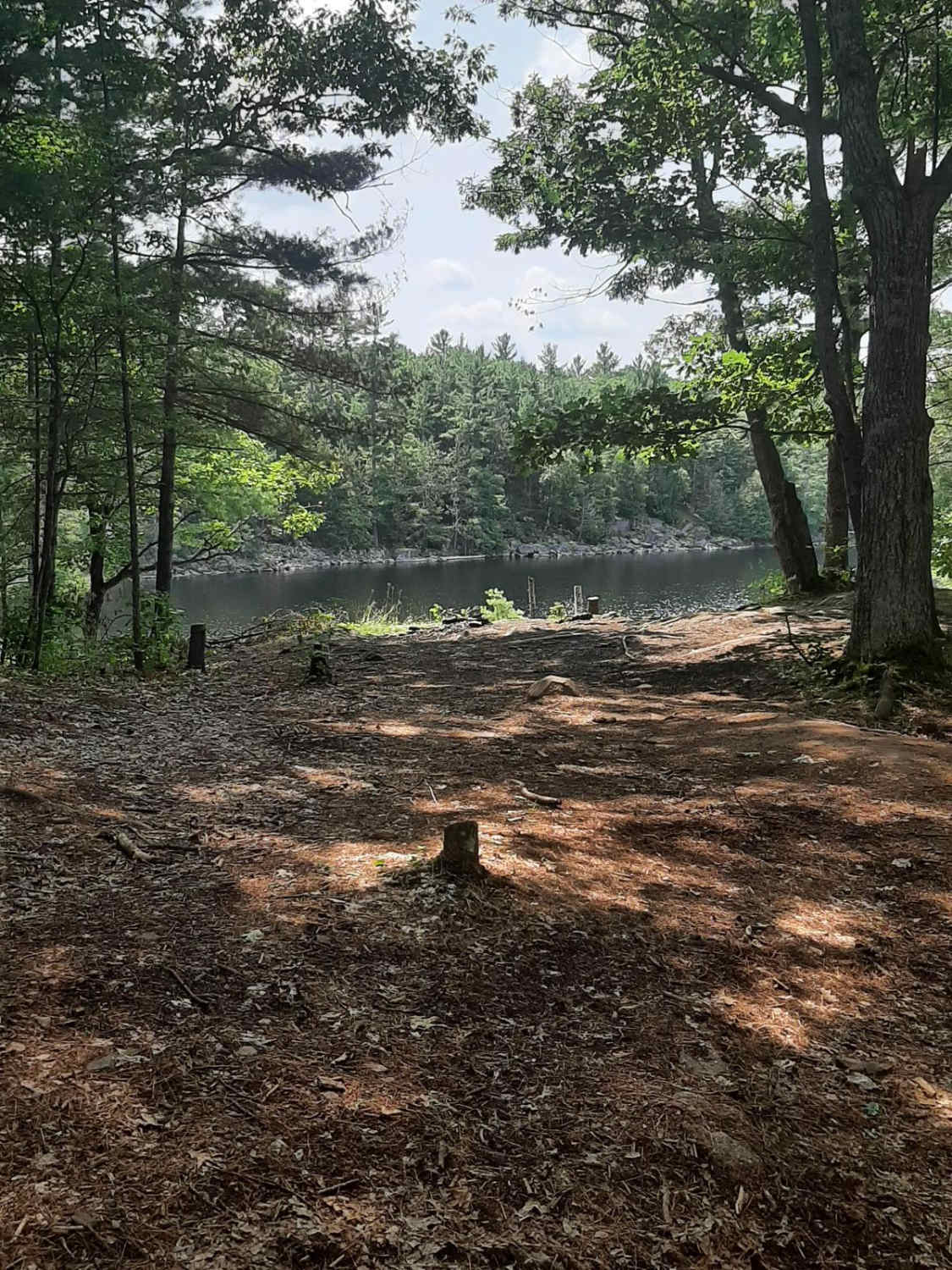
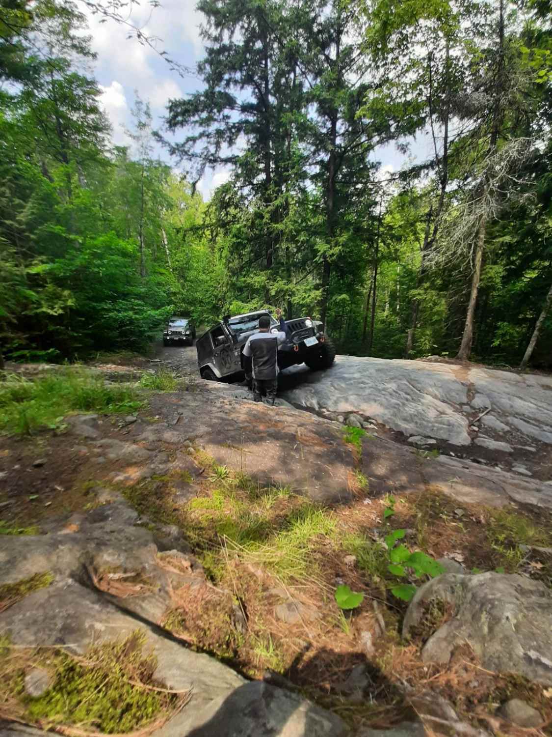
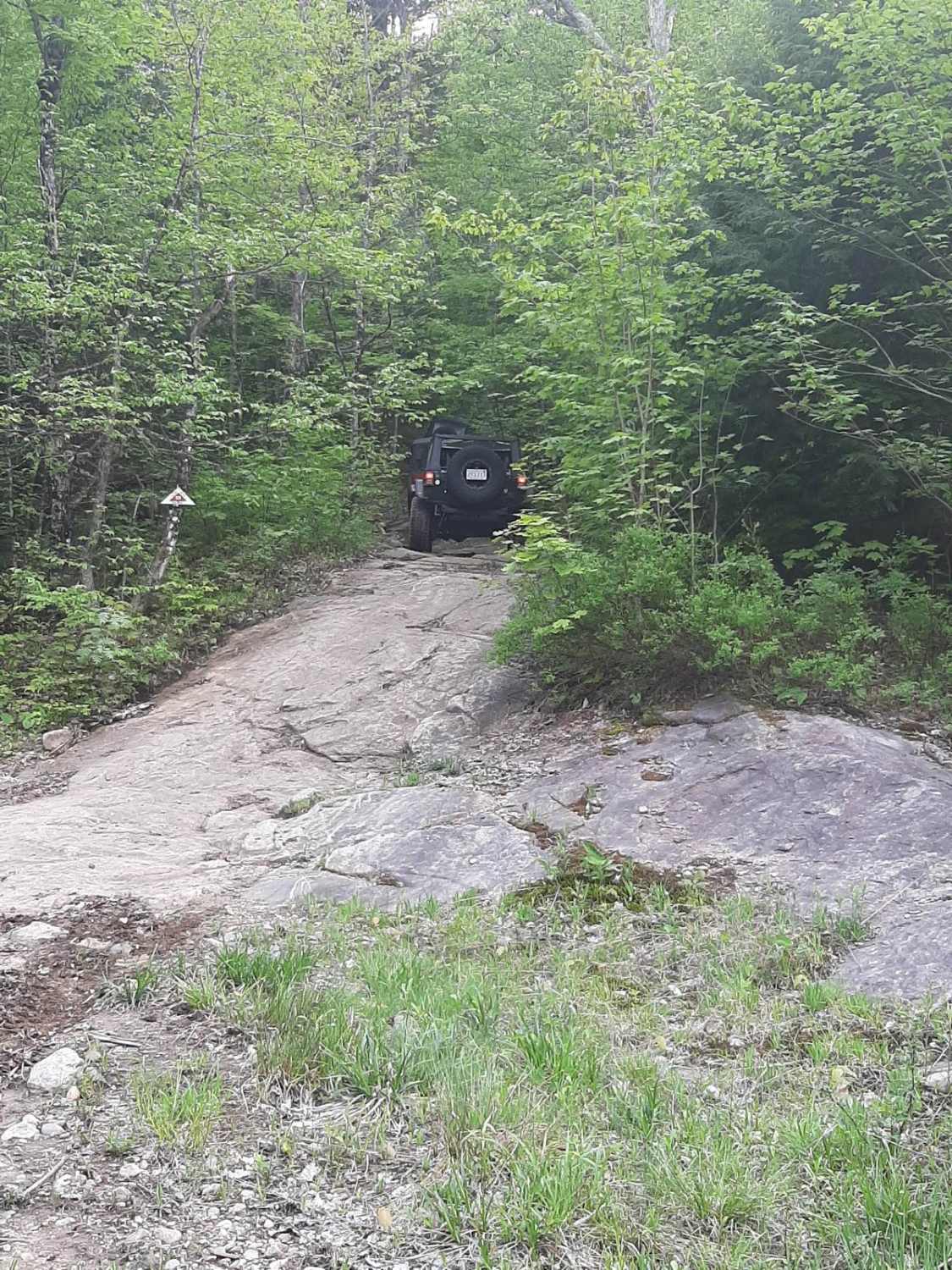
This trail throws a little bit of everything at you. You'll scramble up and down rock steps, and water can be high in places, but there are numerous bypass tracks. The deepest water was approximately 36" deep, and the base was handpicked rock. This trail will have your rigs articulating quite a bit. The trail is loads of fun!
Photos of Concession Lake
Difficulty
Rock steps that you need to keep your focus on. Some sharp rocks can slice tires. Scrambling up and down the rock and in and out of the water can be challenging on this trail. V-notch climb is a difficult point on this trail.
Status Reports
Concession Lake can be accessed by the following ride types:
- High-Clearance 4x4
- SUV
- SxS (60")
- ATV (50")
- Dirt Bike
Concession Lake Map
Popular Trails
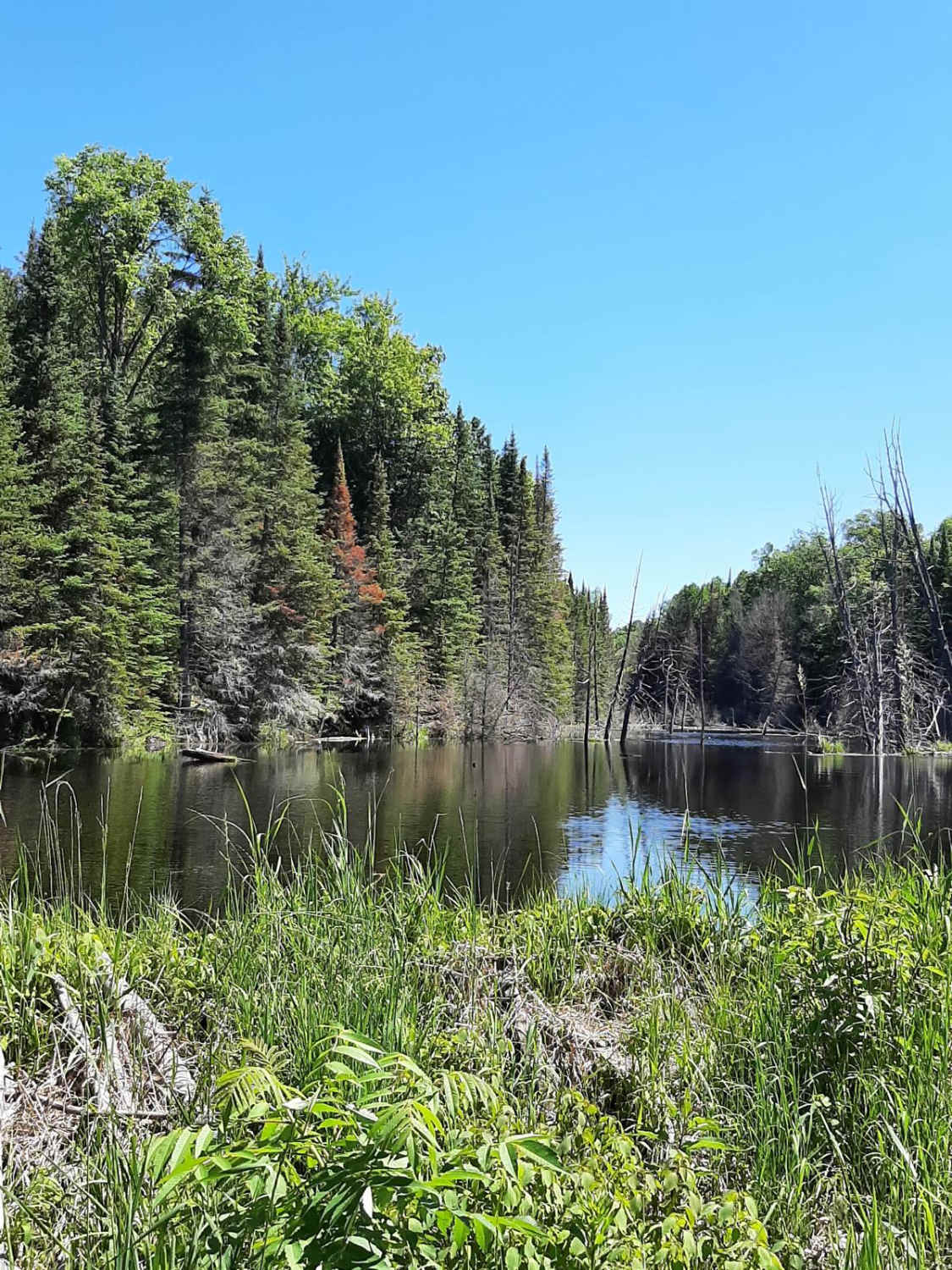
Gooderham
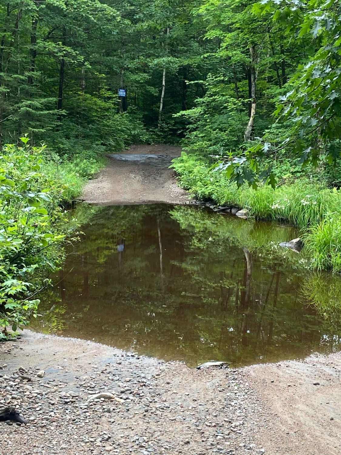
Scotch Line
The Rock
Ardbeg South Trail
The onX Offroad Difference
onX Offroad combines trail photos, descriptions, difficulty ratings, width restrictions, seasonality, and more in a user-friendly interface. Available on all devices, with offline access and full compatibility with CarPlay and Android Auto. Discover what you’re missing today!
