Ardbeg South Trail
Total Kilometers
29.9
Technical Rating
Best Time
Summer, Fall
Trail Type
Full-Width Road
Accessible By
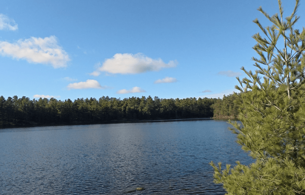
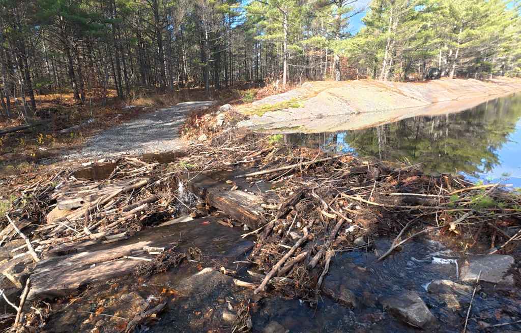
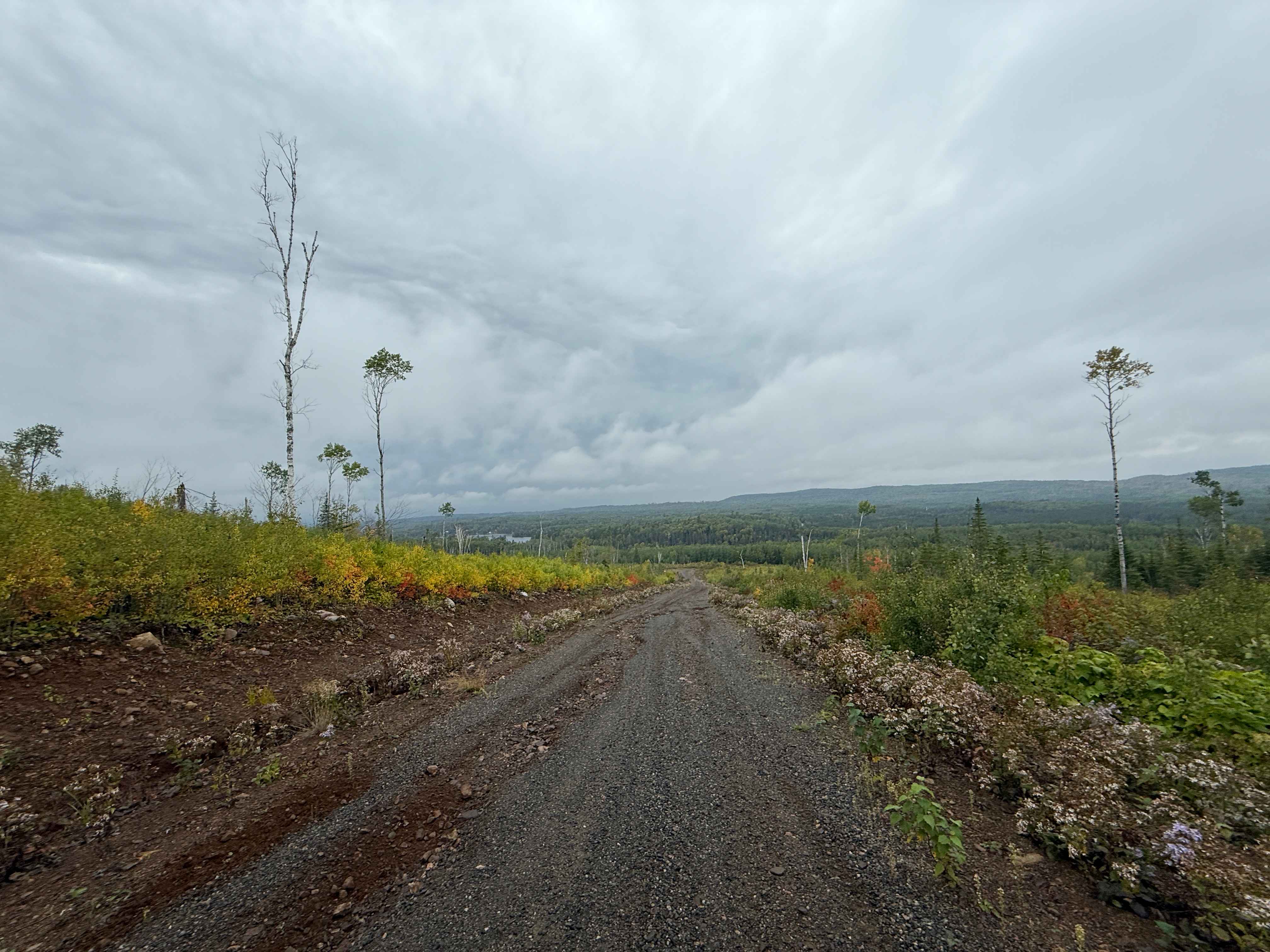
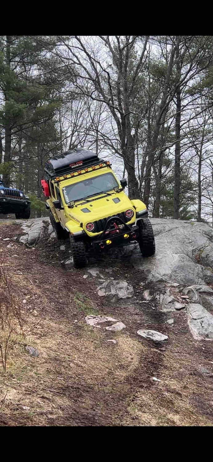
Trail Overview
Ardbeg South Trail in Ontario is a 32 km Crownland 4x4 route starting at Black Lake. Expect granite slabs, mud holes, off-camber sections, and multiple lines. Rated moderate; stock 4x4s can run main routes, harder offshoots need lockers and a winch. Scenic, technical, and popular for camping and day runs.
Photos of Ardbeg South Trail
Difficulty
This trail has obstacles that require driver skill and occasional low-speed rock work; a high-clearance 4x4 with off-road experience can usually get through mainlines. Offshoots and lines can be much harder.
History
Ardbeg was once a small lumber town, built around sawmills on nearby Gooseneck Lake. In the early 1900s, the area thrived on timber and rail transport via the Ottawa, Arnprior & Parry Sound Railway. The forested Crown land was later repurposed for recreational use. The southern trail follows Hydro One transmission lines, once part of industrial infrastructure.
Status Reports
Ardbeg South Trail can be accessed by the following ride types:
- High-Clearance 4x4
- SUV
- SxS (60")
- ATV (50")
- Dirt Bike
Ardbeg South Trail Map
Popular Trails

Tribag Mine Alternate
Sandstone Lake

Busted Bridge Boulevard
The onX Offroad Difference
onX Offroad combines trail photos, descriptions, difficulty ratings, width restrictions, seasonality, and more in a user-friendly interface. Available on all devices, with offline access and full compatibility with CarPlay and Android Auto. Discover what you’re missing today!