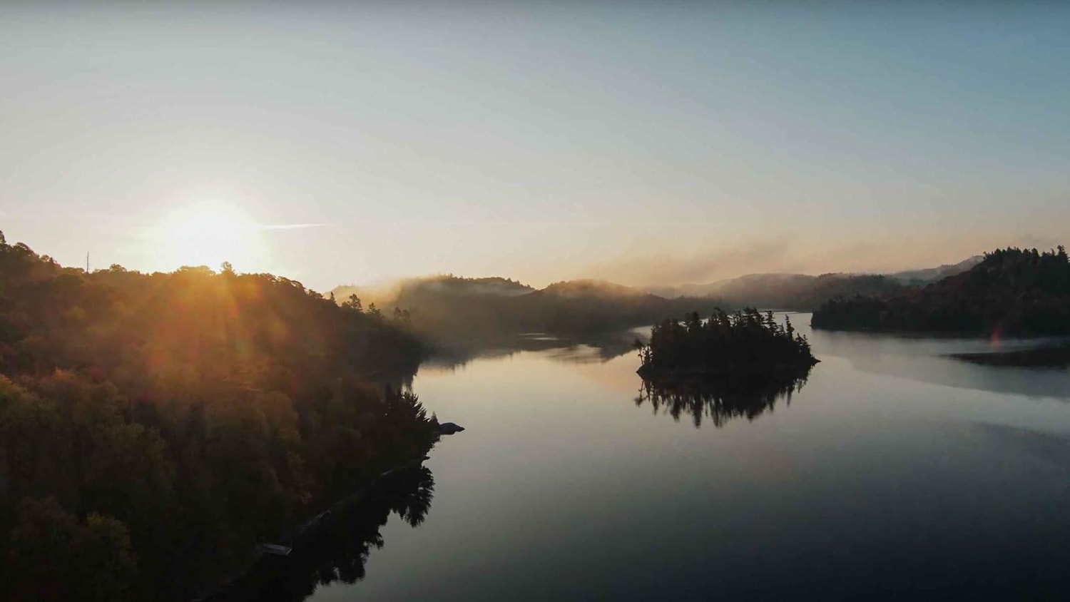
Highline Highway (Mile 38 Road)
Total Kilometers
44.1
Technical Rating
Best Time
Summer, Spring, Fall
Trail Type
High-Clearance 4x4 Trail
Accessible By
Trail Overview
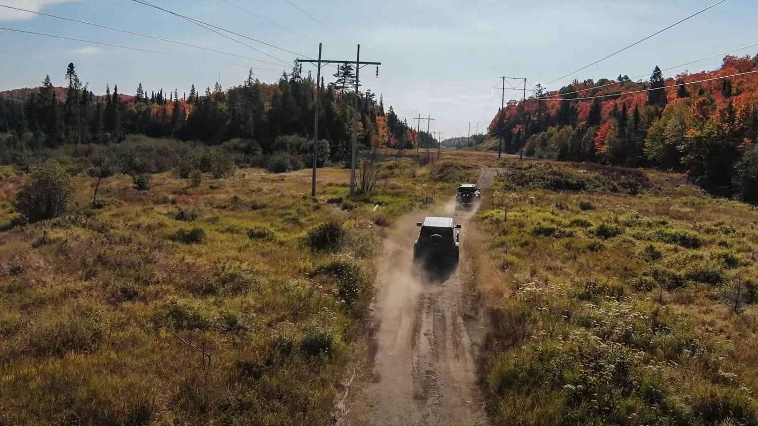
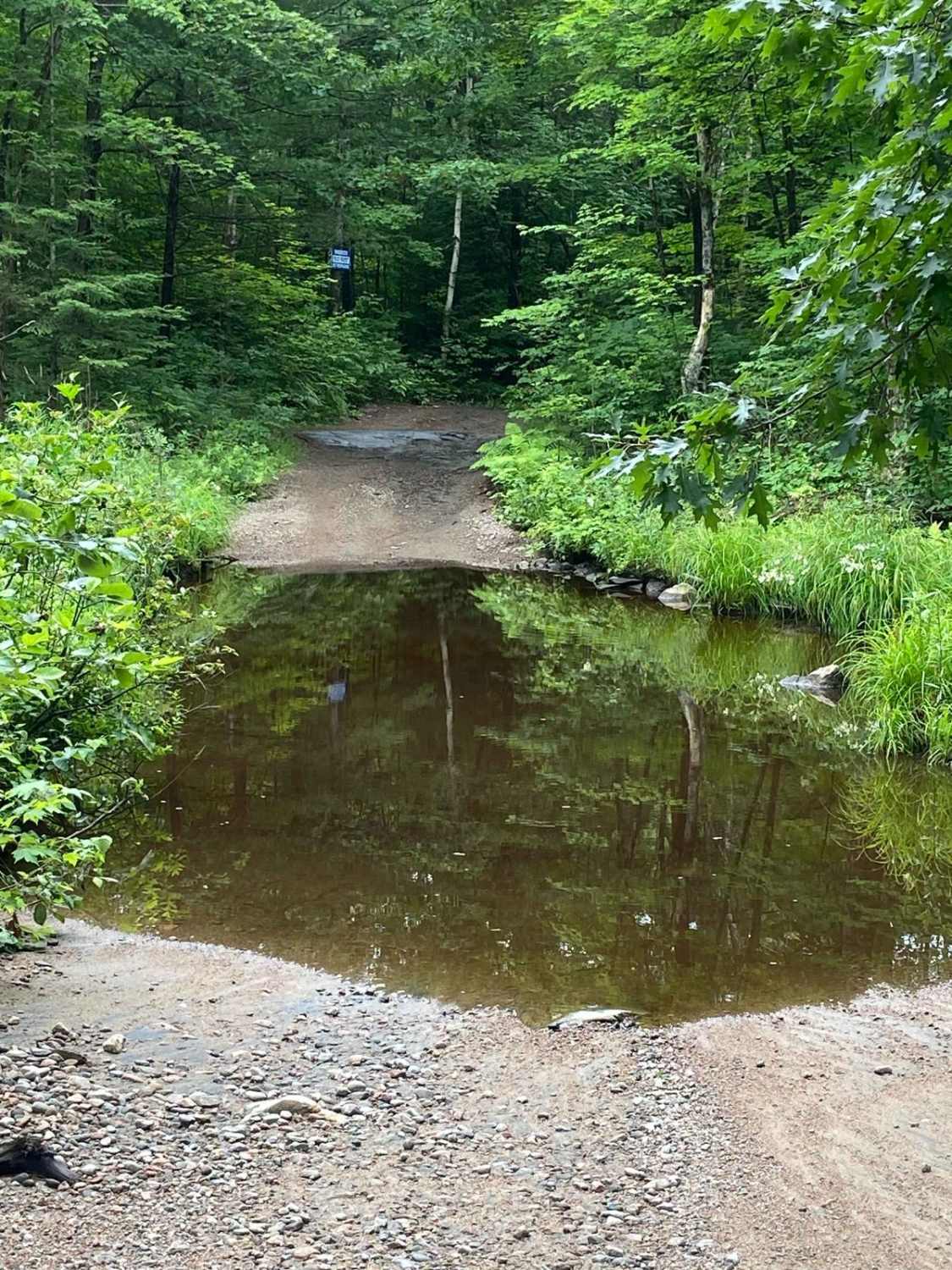
If continuing off the "Washout Way" trail, this route picks up off the bank of the Batchawana River and heads east before turning south and taking Mile 38 Road which will get you back to Highway 17. It earns the name "Highline Highway" when you pass through the tall power poles. In the northern section of this trail, you'll find tight wooded areas, small boulders, and water crossings. Most of the water is shallow, but one crossing can be nearly 2 feet deep, even during times of low water. Always scout your crossing ahead of time and have a recovery plan. A snorkel is not necessary for any of the crossings. The river has a hard rock bottom also. On Mile 38 Road, you'll find it to be a typical wide logging road with no challenges. Keep right and watch your speed. Pay attention to signs letting you know when you are entering or leaving Crown Land.
Photos of Highline Highway (Mile 38 Road)
Difficulty
This trail earns a 5 due to the potential for water crossings 18-24 inches deep. A vast section of the trail would be rated lower, though. You'll find unmaintained gravel roads with larger rocks mixed in here and there, as well as small boulders near river crossings. Some of the trail is rutted two-track. Snow melt has created small creeks (dry all summer/fall) with short and steep entry/exit angles
Status Reports
Highline Highway (Mile 38 Road) can be accessed by the following ride types:
- High-Clearance 4x4
- SxS (60")
- ATV (50")
Highline Highway (Mile 38 Road) Map
Popular Trails
Highline Highway (Mile 38 Road)
Missing Link
Green Mountain Trail
Scotch Line
The onX Offroad Difference
onX Offroad combines trail photos, descriptions, difficulty ratings, width restrictions, seasonality, and more in a user-friendly interface. Available on all devices, with offline access and full compatibility with CarPlay and Android Auto. Discover what you’re missing today!
