Batchawana Falls Road - Northern Section
Total Kilometers
7.4
Technical Rating
Best Time
Spring, Summer, Fall, Winter
Trail Type
Full-Width Road
Accessible By
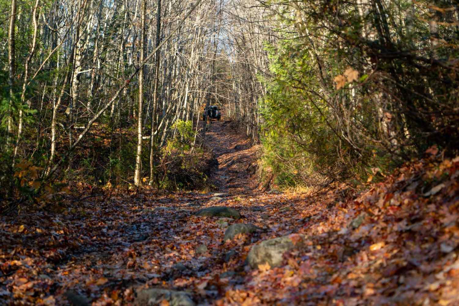
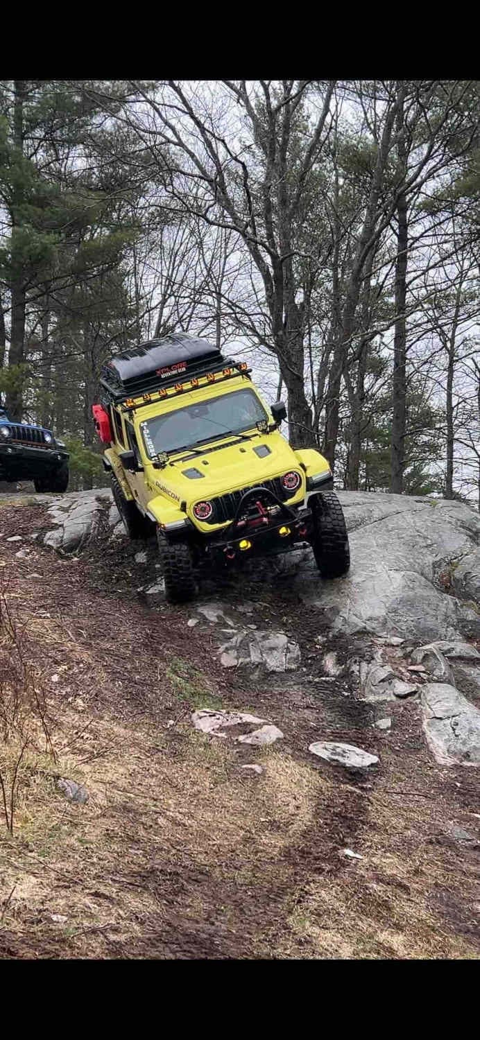
Trail Overview
From the northernmost point, heading west, and coming out on the south side- you'll be greeted by stellar views of the lake through the trees near the end of the route as you lose elevation. Peak fall colors are amazing on this route, but heading out past peak when the leaves are down is almost the better option to get the best view of Superior. The route is a mix of two-track and old logging roads with a steep ditch here and there and a small creek crossing.
Photos of Batchawana Falls Road - Northern Section

Difficulty
Most of this trail could be rated a 3, even less in some spots. However, there is a steep, muddy incline after a creek crossing that is slick after rainfall and is trenched out enough to make it a challenge for those on tires 33" or smaller. 35"+ will have no issues with a proper line and driving techniques.
Status Reports
Batchawana Falls Road - Northern Section can be accessed by the following ride types:
- High-Clearance 4x4
- SUV
- SxS (60")
- ATV (50")
- Dirt Bike
Batchawana Falls Road - Northern Section Map
Popular Trails
Batchawana Falls Road - Northern Section

Expedition Trail

Kelly Lake Trail
The onX Offroad Difference
onX Offroad combines trail photos, descriptions, difficulty ratings, width restrictions, seasonality, and more in a user-friendly interface. Available on all devices, with offline access and full compatibility with CarPlay and Android Auto. Discover what you’re missing today!