Gillanders Mountain Road East
Total Kilometers
7.7
Technical Rating
Best Time
Spring, Summer, Fall
Trail Type
Full-Width Road
Accessible By
Trail Overview
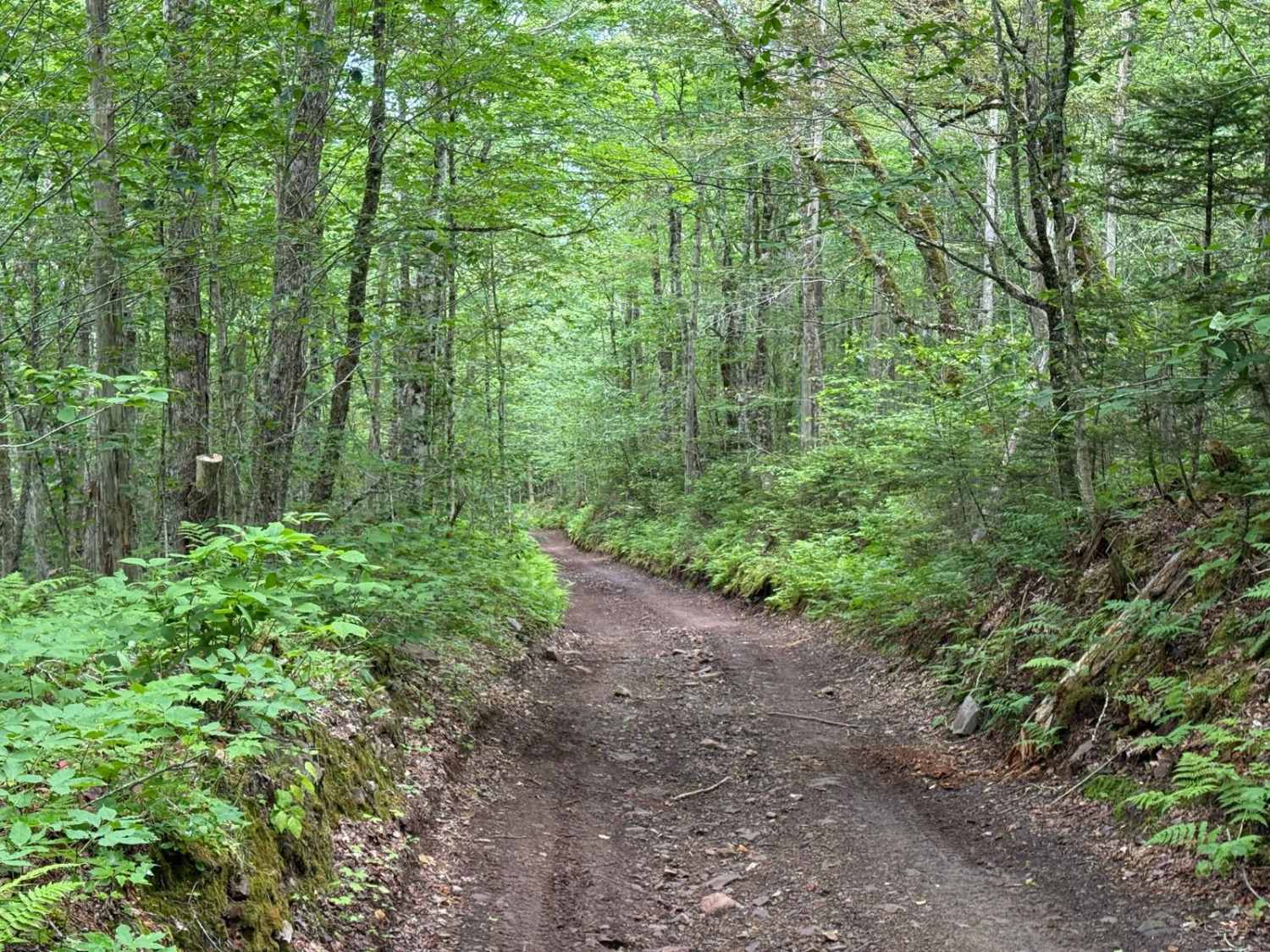
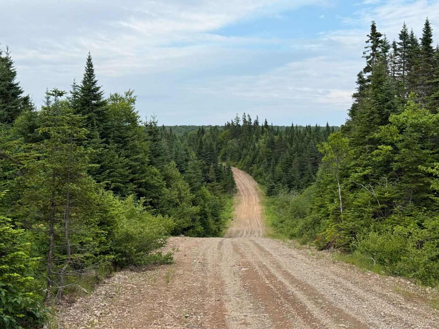
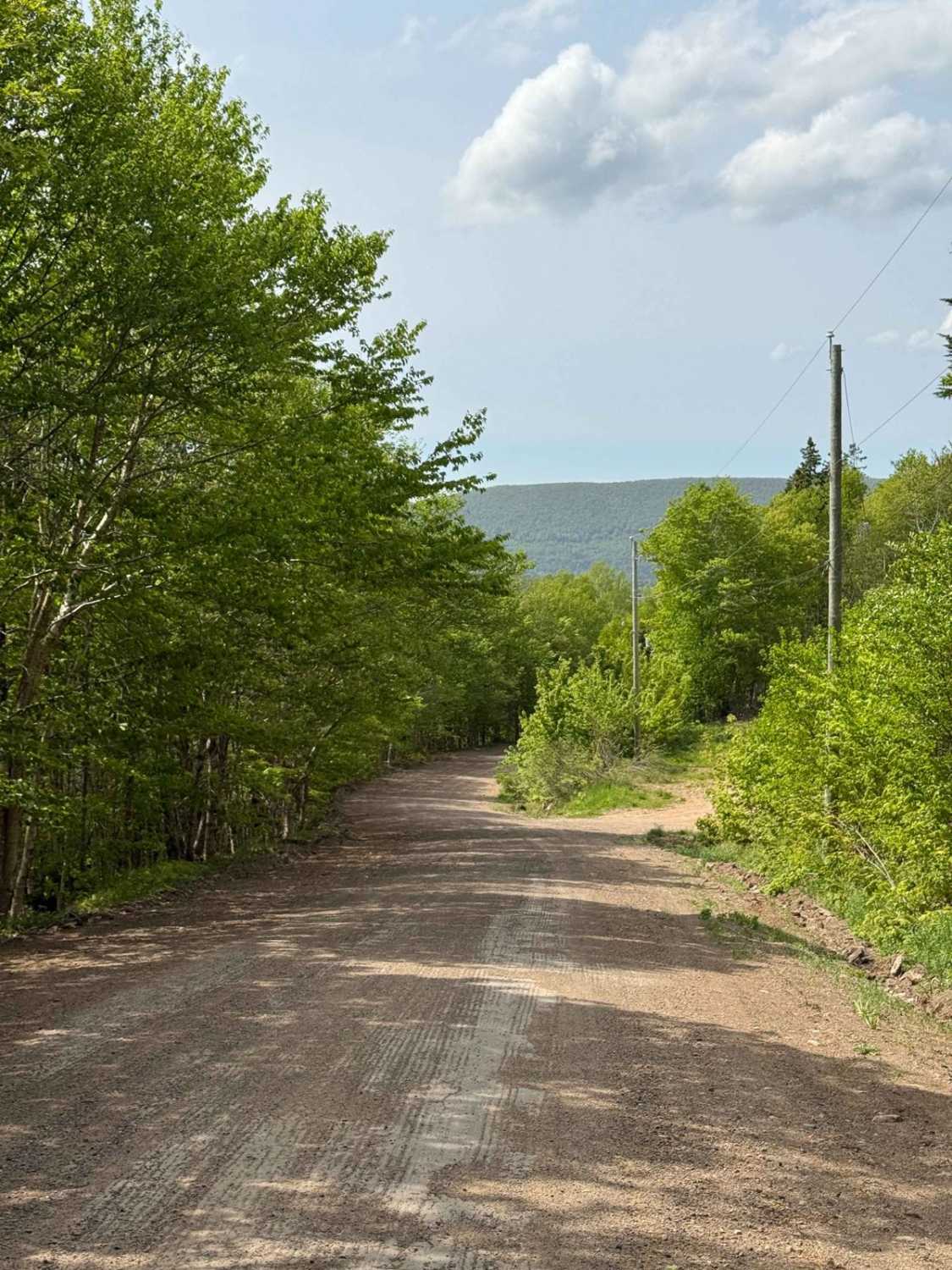
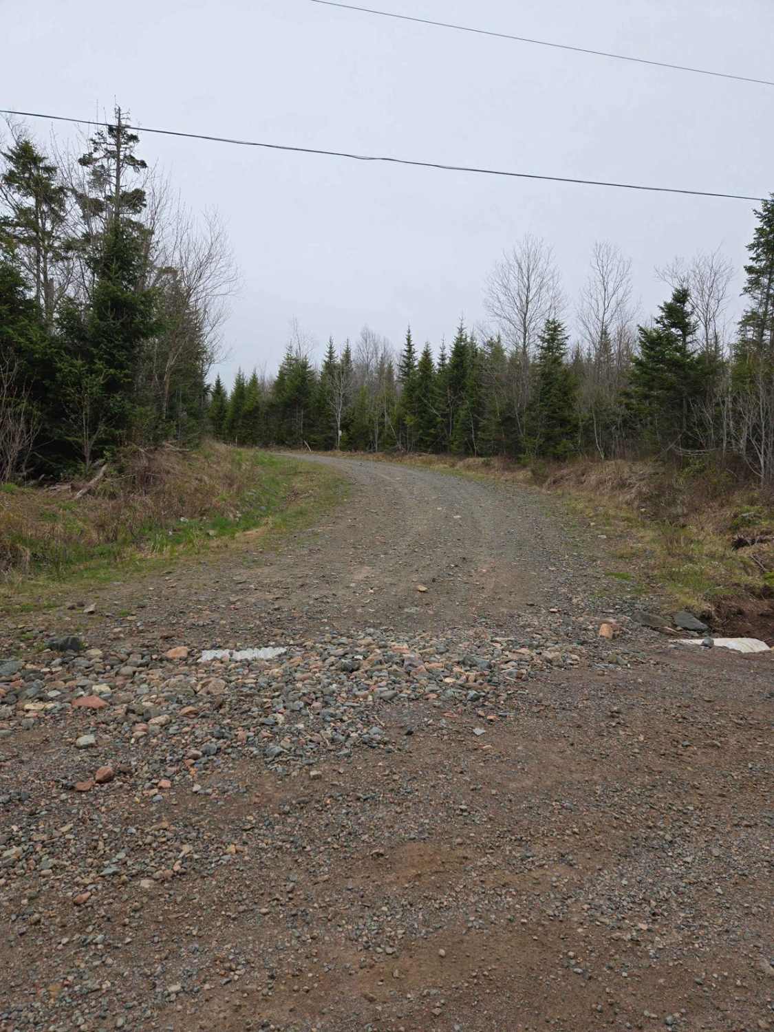
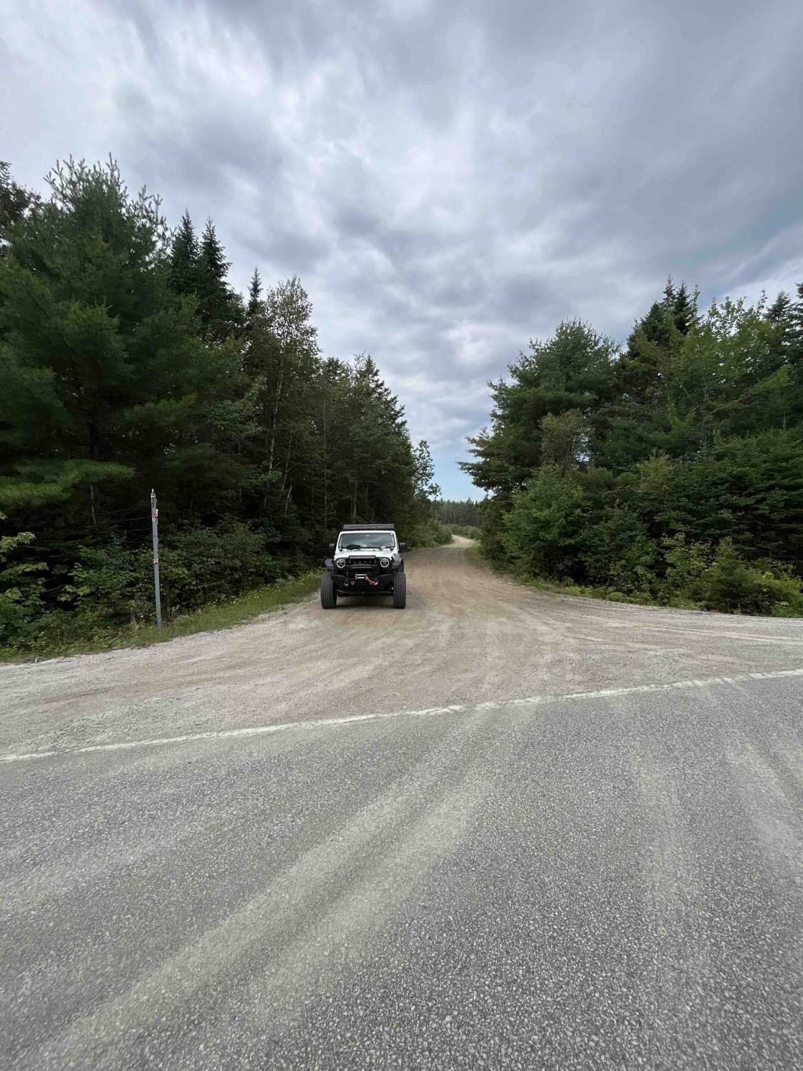
Gillanders Mountain Road East begins near the eastern end of Mount Borden Road and starts off as a hard-packed dirt surface. As you descend, the terrain transitions to slightly rutted and muddy conditions in wet weather, followed by loose rock as the trail winds down the mountain. Expect small washouts and exposed rock sections along the way. Around the halfway point, the trail shifts from an open logging road to a narrower, heavily wooded mountain road. A fork to the south leads onto private property. Continue straight to stay on the public route. From here, the trail becomes more rugged, with exposed rocks, roots, and occasional fallen trees and branches. Portions follow a narrow shelf typical of mountain roads, with limited room for passing. In wet conditions, this wooded section can be especially muddy and slick. As you approach the Middle River end, the trail improves significantly, levelling out into a short stretch of hard-packed dirt and gravel for the last few hundred metres. There is a private residence at the eastern end near Middle River, so be respectful when exiting the route.
Photos of Gillanders Mountain Road East
Difficulty
Washouts and loose rock are common throughout the descent, and there are multiple narrow sections with limited visibility. In wet conditions, parts of the trail become slick with mud, especially in the wooded section, which adds to the challenge.
History
Gillanders Mountain Road was originally built as a continuous mountain route connecting Middle River to East Lake Ainslie, crossing the highlands by way of Gillanders Mountain. It likely served early logging efforts and rural travel between the interior communities. Over time, the road fell into disuse, and what was once a single through route has broken into separate segments. The eastern portion, beginning near Middle River, spans roughly 7.7 kilometres and remains passable. It is now recorded as Gillanders Mountain Road East. The middle section of the original alignment is severely overgrown and unrecognisable, with no clear signs of recent use or maintenance. The western portion, now submitted separately as Gillanders Mountain Road West, spans 4.6 kilometres and connects via a bypass to Highway 395. Though no longer a continuous route, both ends of the road are still used recreationally and offer rugged access into the Cape Breton Highlands.
Status Reports
Gillanders Mountain Road East can be accessed by the following ride types:
- High-Clearance 4x4
- SUV
- SxS (60")
- ATV (50")
- Dirt Bike
Gillanders Mountain Road East Map
Popular Trails

Pipeline Road Trail
Fielding Road
Totten Meadow Trail
Hog Lot Road
The onX Offroad Difference
onX Offroad combines trail photos, descriptions, difficulty ratings, width restrictions, seasonality, and more in a user-friendly interface. Available on all devices, with offline access and full compatibility with CarPlay and Android Auto. Discover what you’re missing today!