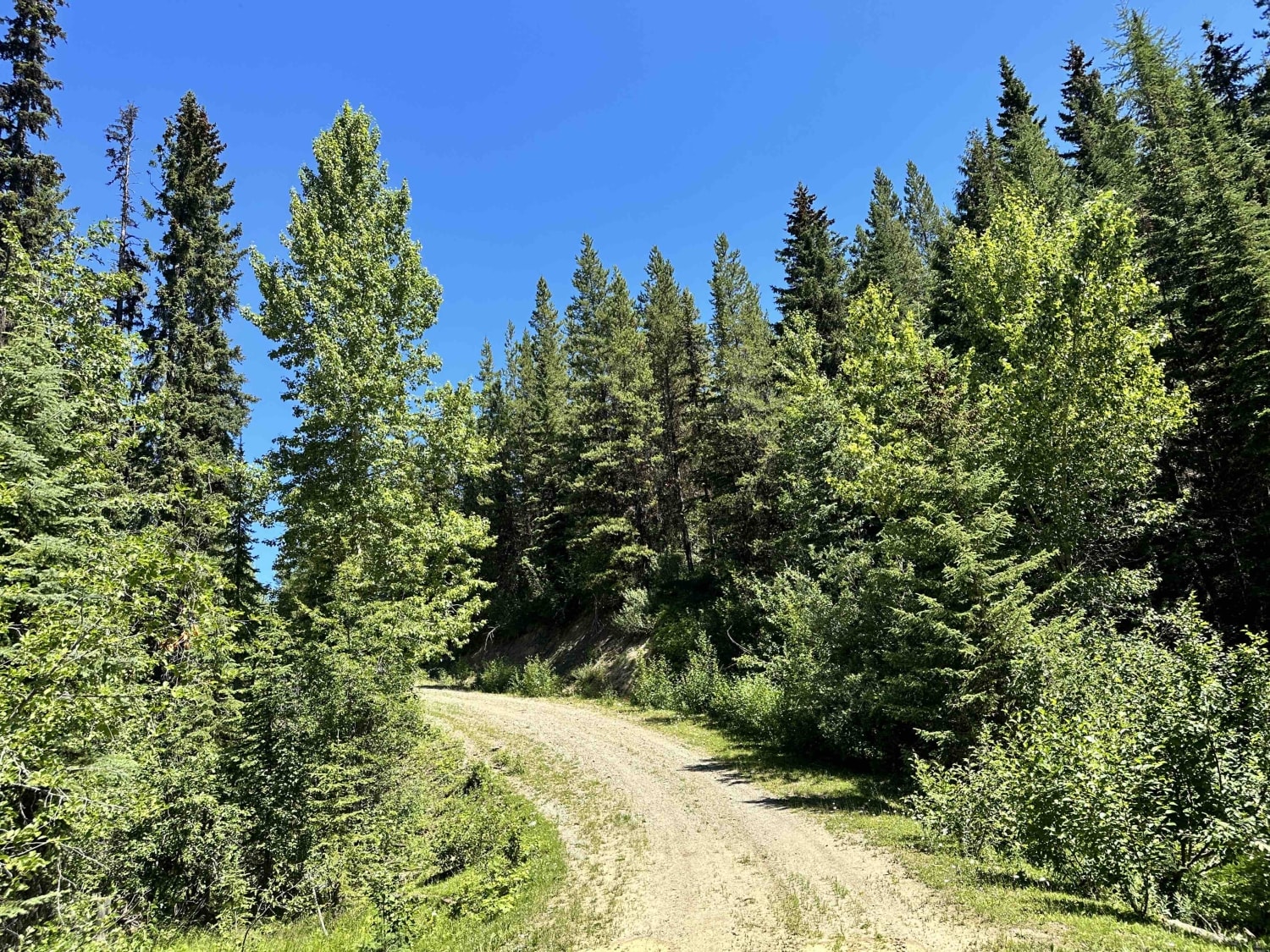
Off-Road Trails in British Columbia
Discover off-road trails in British Columbia
Learn more about Even Flow North Connector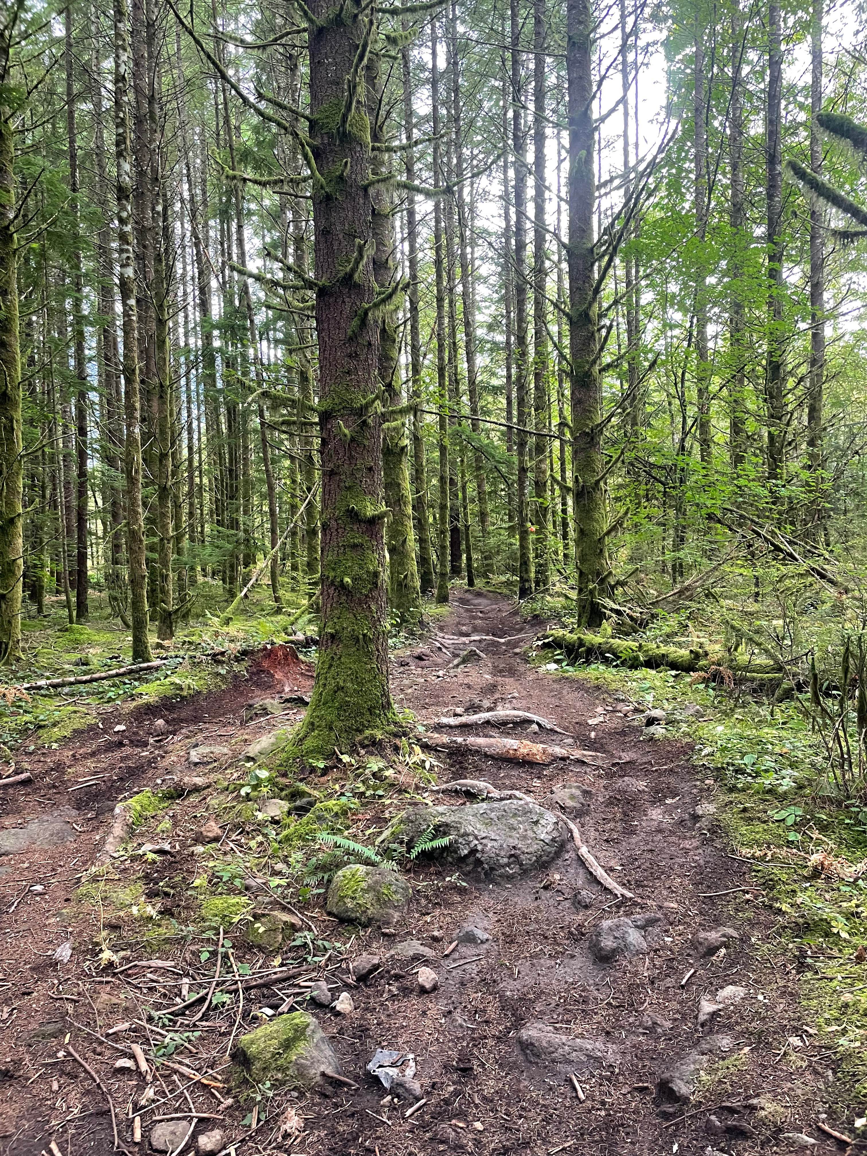
Even Flow North Connector
Total Miles
0.1
Tech Rating
Easy
Best Time
Spring, Summer, Fall, Winter
Learn more about Falkland Chase Connector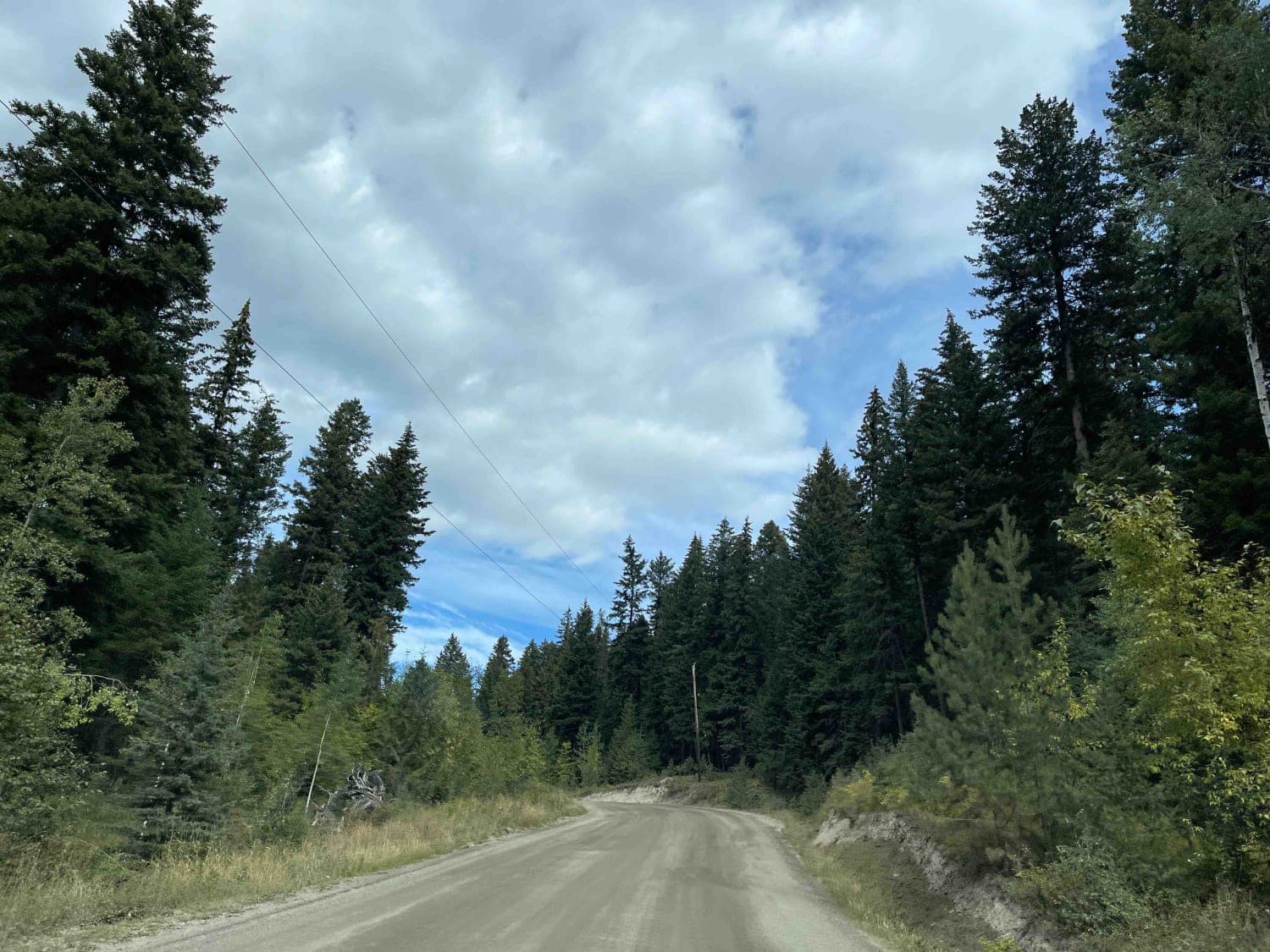
Falkland Chase Connector
Total Miles
4.0
Tech Rating
Easy
Best Time
Spring, Summer, Fall, Winter
Learn more about Farmers Lookout From 142 Main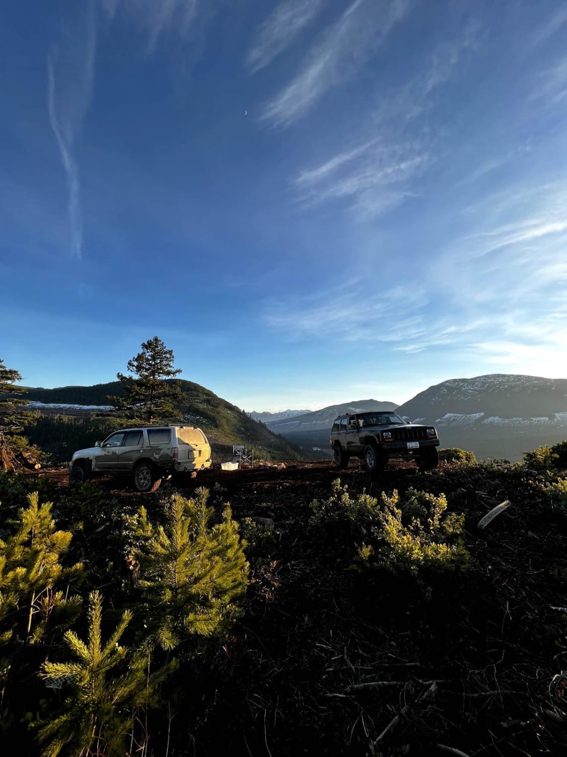
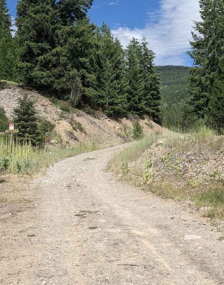
Farmers Lookout From 142 Main
Total Miles
1.5
Tech Rating
Easy
Best Time
Spring, Summer, Fall, Winter
Learn more about Farnham Glacier
Farnham Glacier
Total Miles
36.5
Tech Rating
Moderate
Best Time
Summer, Fall
Learn more about Fence Line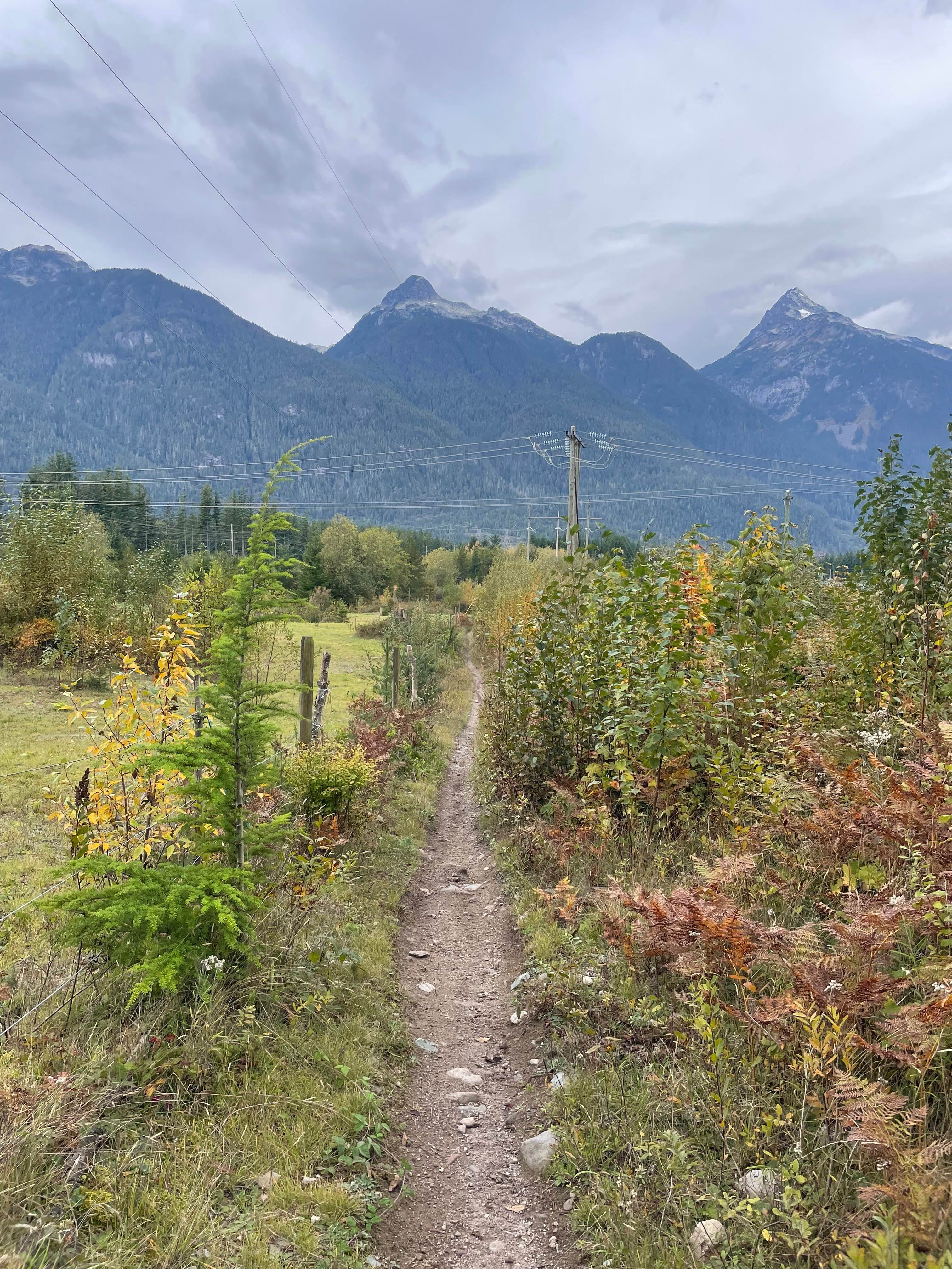
Fence Line
Total Miles
0.1
Tech Rating
Easy
Best Time
Spring, Summer, Fall, Winter
Learn more about Ferrell East Access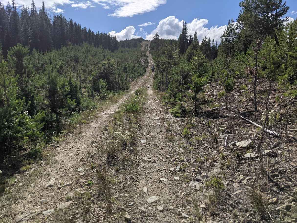
Ferrell East Access
Total Miles
2.9
Tech Rating
Moderate
Best Time
Summer, Fall
Learn more about Finger 1
Finger 1
Total Miles
0.0
Tech Rating
Extreme
Best Time
Spring, Summer, Fall, Winter
Learn more about Finger 2
Finger 2
Total Miles
0.0
Tech Rating
Extreme
Best Time
Spring, Summer, Fall, Winter
Learn more about Finger 3
Finger 3
Total Miles
0.0
Tech Rating
Extreme
Best Time
Spring, Summer, Fall, Winter
Learn more about Finger 4
Finger 4
Total Miles
0.0
Tech Rating
Extreme
Best Time
Spring, Summer, Fall, Winter
Learn more about Finger 5
Finger 5
Total Miles
0.0
Tech Rating
Extreme
Best Time
Spring, Summer, Fall, Winter
Learn more about Fish Lake Road
Fish Lake Road
Total Miles
4.0
Tech Rating
Easy
Best Time
Spring, Summer, Fall
Learn more about Florence Lake FSR
Florence Lake FSR
Total Miles
4.5
Tech Rating
Easy
Best Time
Spring, Summer, Fall, Winter
Learn more about Foley Forest Service Road (FSR)
Foley Forest Service Road (FSR)
Total Miles
4.1
Tech Rating
Moderate
Best Time
Spring, Summer, Fall, Winter
Learn more about Follow Your Nose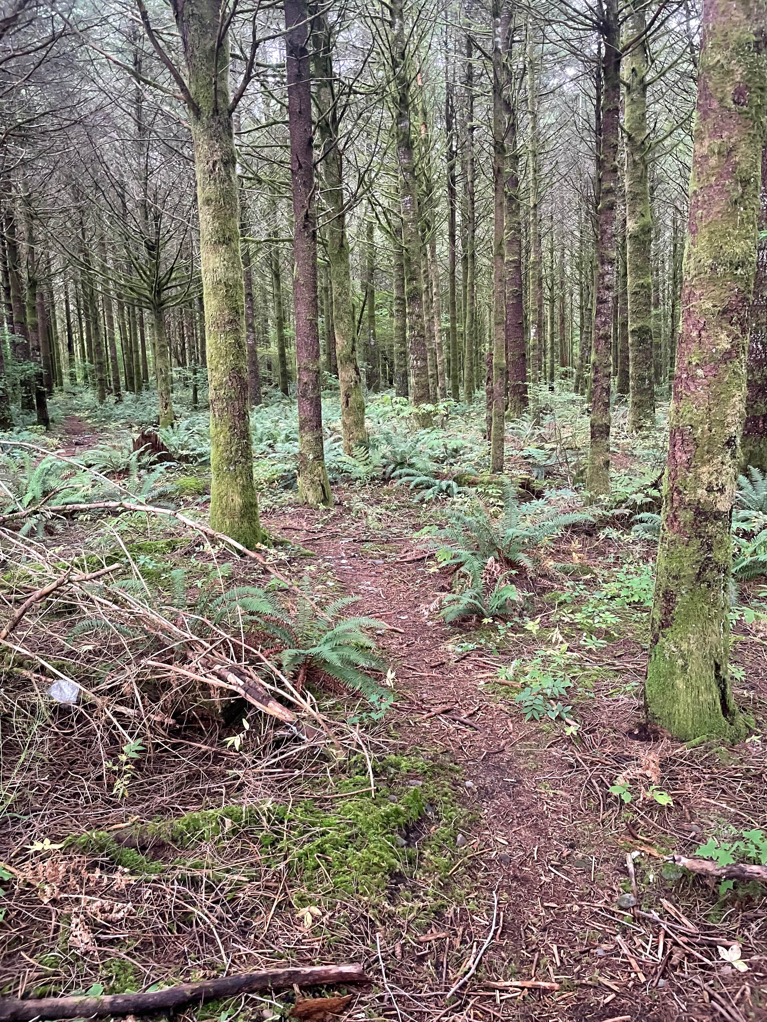
Follow Your Nose
Total Miles
0.5
Tech Rating
Easy
Best Time
Spring, Summer, Fall, Winter
Learn more about Follow Your Nose - Even Flow Connector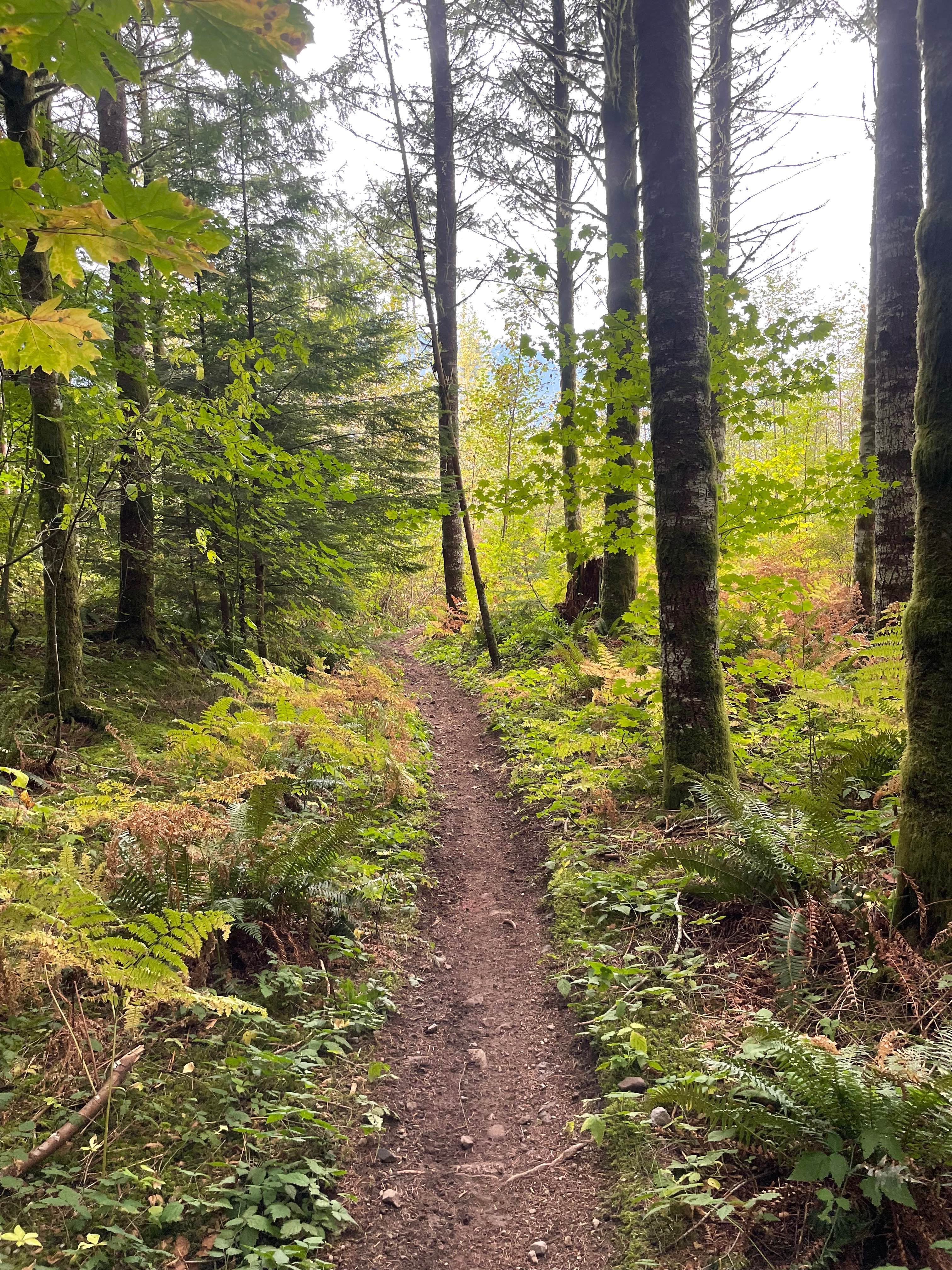
Follow Your Nose - Even Flow Connector
Total Miles
0.0
Tech Rating
Easy
Best Time
Spring, Summer, Fall, Winter
Learn more about Forester Creek to Snowmobile Parking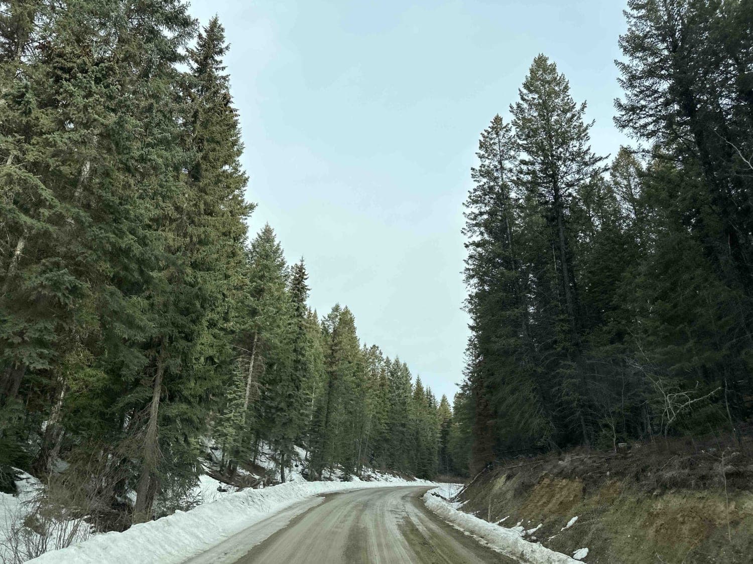
Forester Creek to Snowmobile Parking
Total Miles
3.8
Tech Rating
Easy
Best Time
Spring, Summer, Fall, Winter
Learn more about Fork Road - Closed
Fork Road - Closed
Total Miles
2.5
Tech Rating
Easy
Best Time
Spring, Summer, Fall
Learn more about Fresh Trail with a View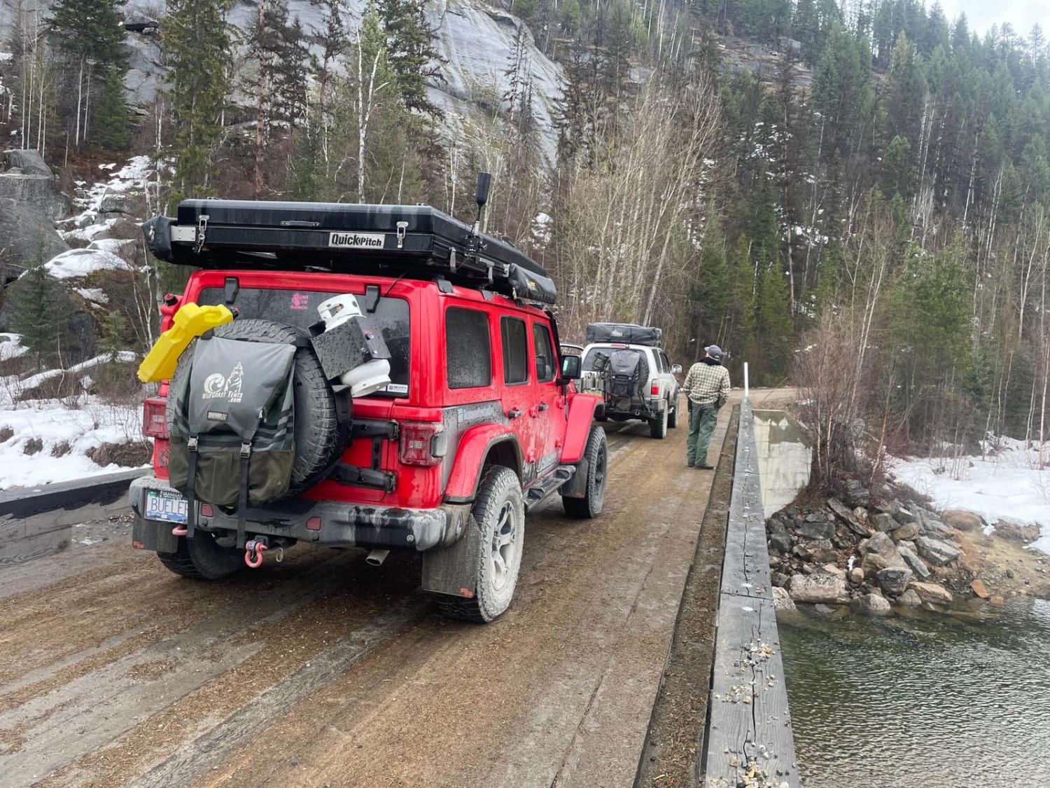
Fresh Trail with a View
Total Miles
3.2
Tech Rating
Easy
Best Time
Spring, Summer, Fall
ATV trails in British Columbia
Learn more about 155 Main 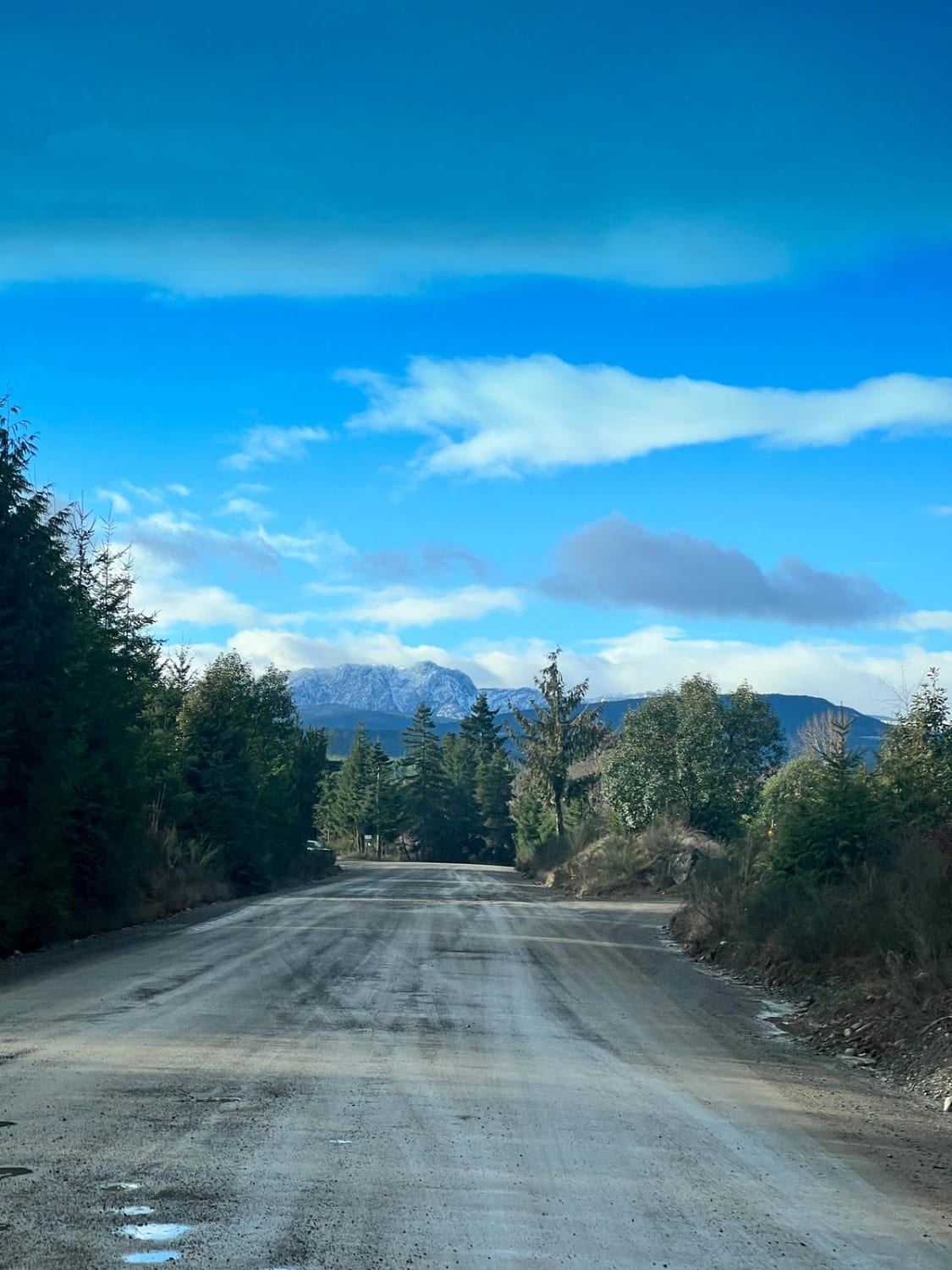
155 Main
Total Miles
16.8
Tech Rating
Easy
Best Time
Spring, Summer, Fall, Winter
Learn more about 3 Valley Mabel Lake FSR Road to Kingfisher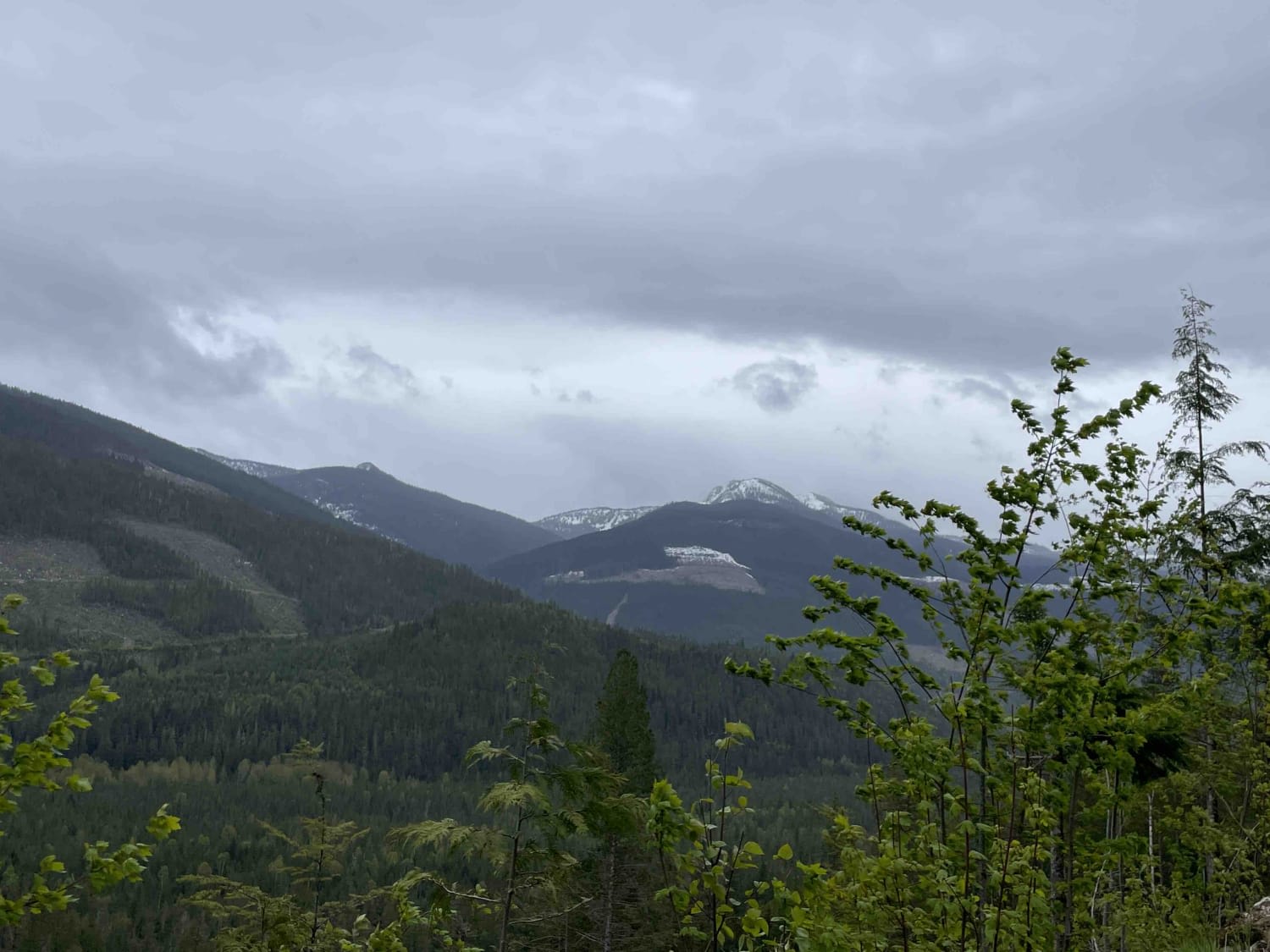
3 Valley Mabel Lake FSR Road to Kingfisher
Total Miles
22.3
Tech Rating
Moderate
Best Time
Spring, Summer, Fall
Learn more about 97C to Creighton Lake
97C to Creighton Lake
Total Miles
2.1
Tech Rating
Easy
Best Time
Summer, Fall
UTV/side-by-side trails in British Columbia
Learn more about 155 Main
155 Main
Total Miles
16.8
Tech Rating
Easy
Best Time
Spring, Summer, Fall, Winter
Learn more about 3 Valley Mabel Lake FSR Road to Kingfisher
3 Valley Mabel Lake FSR Road to Kingfisher
Total Miles
22.3
Tech Rating
Moderate
Best Time
Spring, Summer, Fall
Learn more about 97C to Creighton Lake
97C to Creighton Lake
Total Miles
2.1
Tech Rating
Easy
Best Time
Summer, Fall
The onX Offroad Difference
onX Offroad combines trail photos, descriptions, difficulty ratings, width restrictions, seasonality, and more in a user-friendly interface. Available on all devices, with offline access and full compatibility with CarPlay and Android Auto. Discover what you’re missing today!